

Estekwalan Mountain
Estekwalan Mountain
Falkland
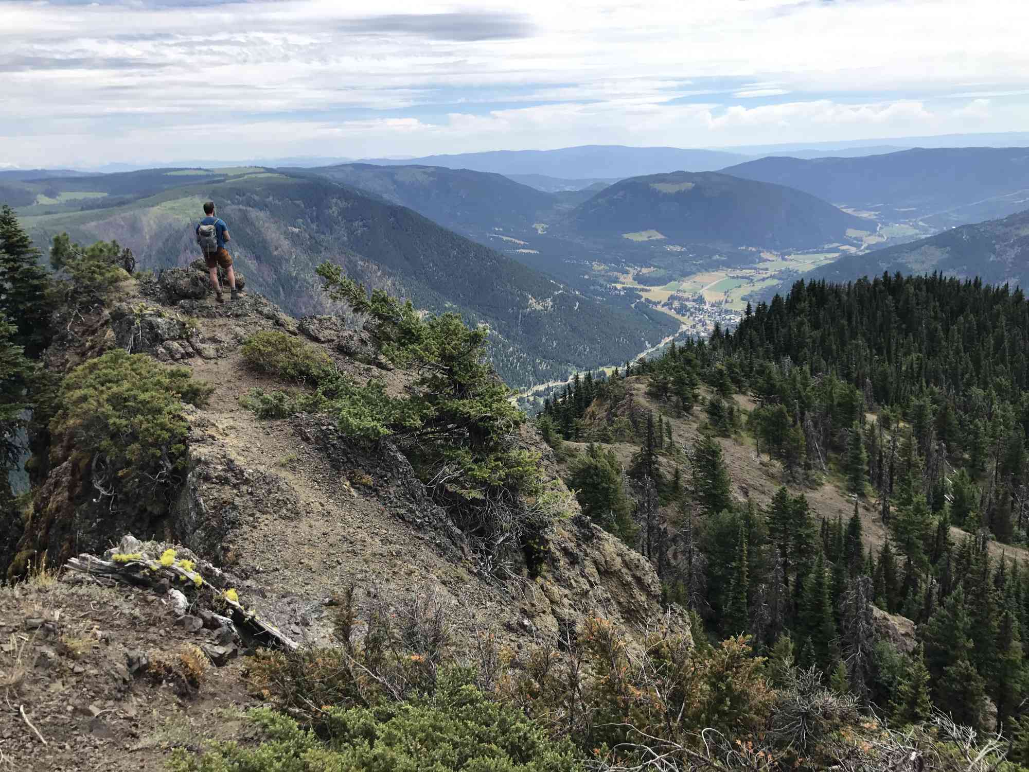
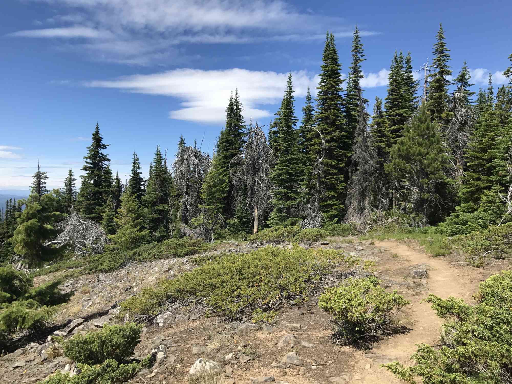
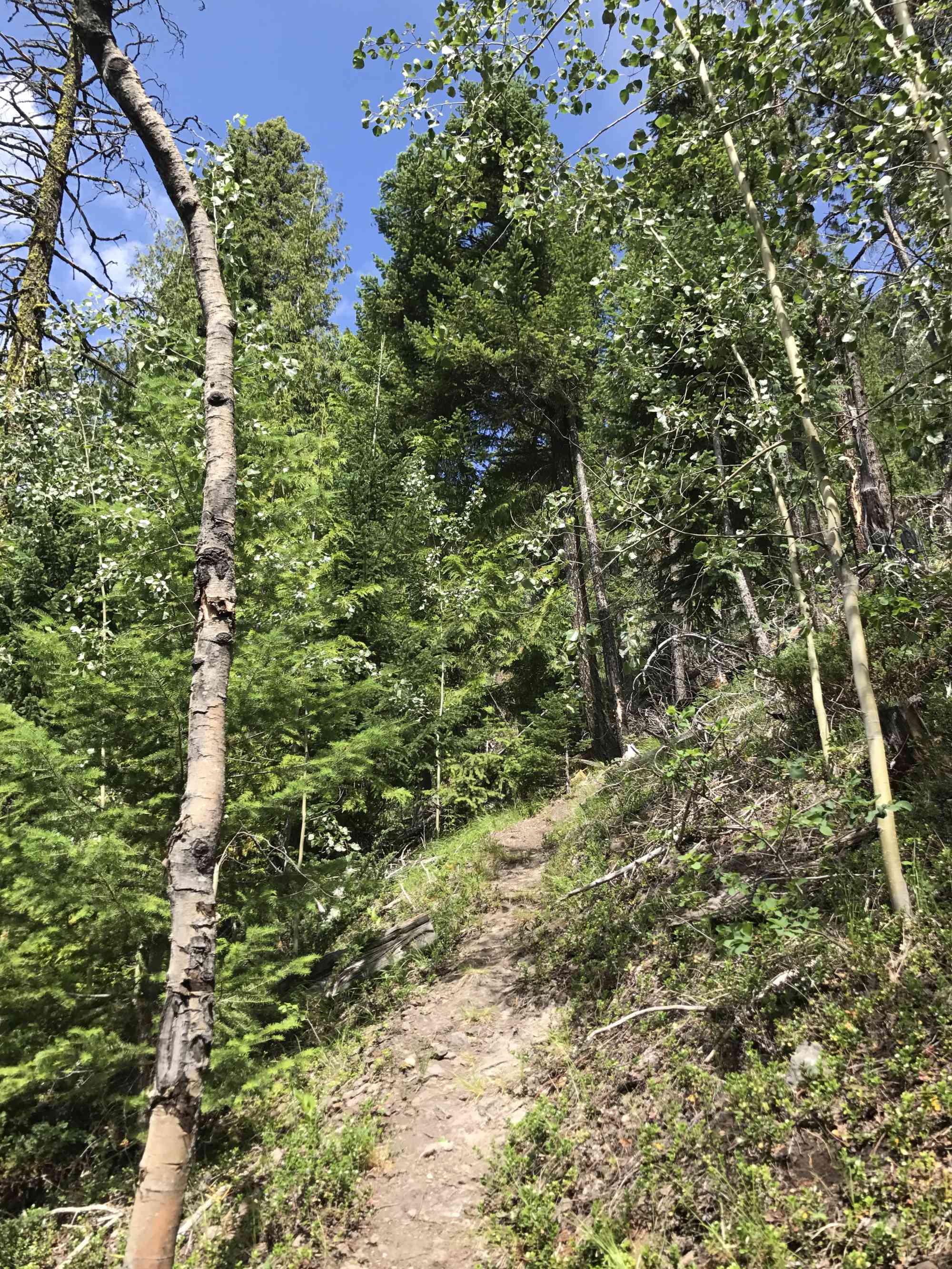
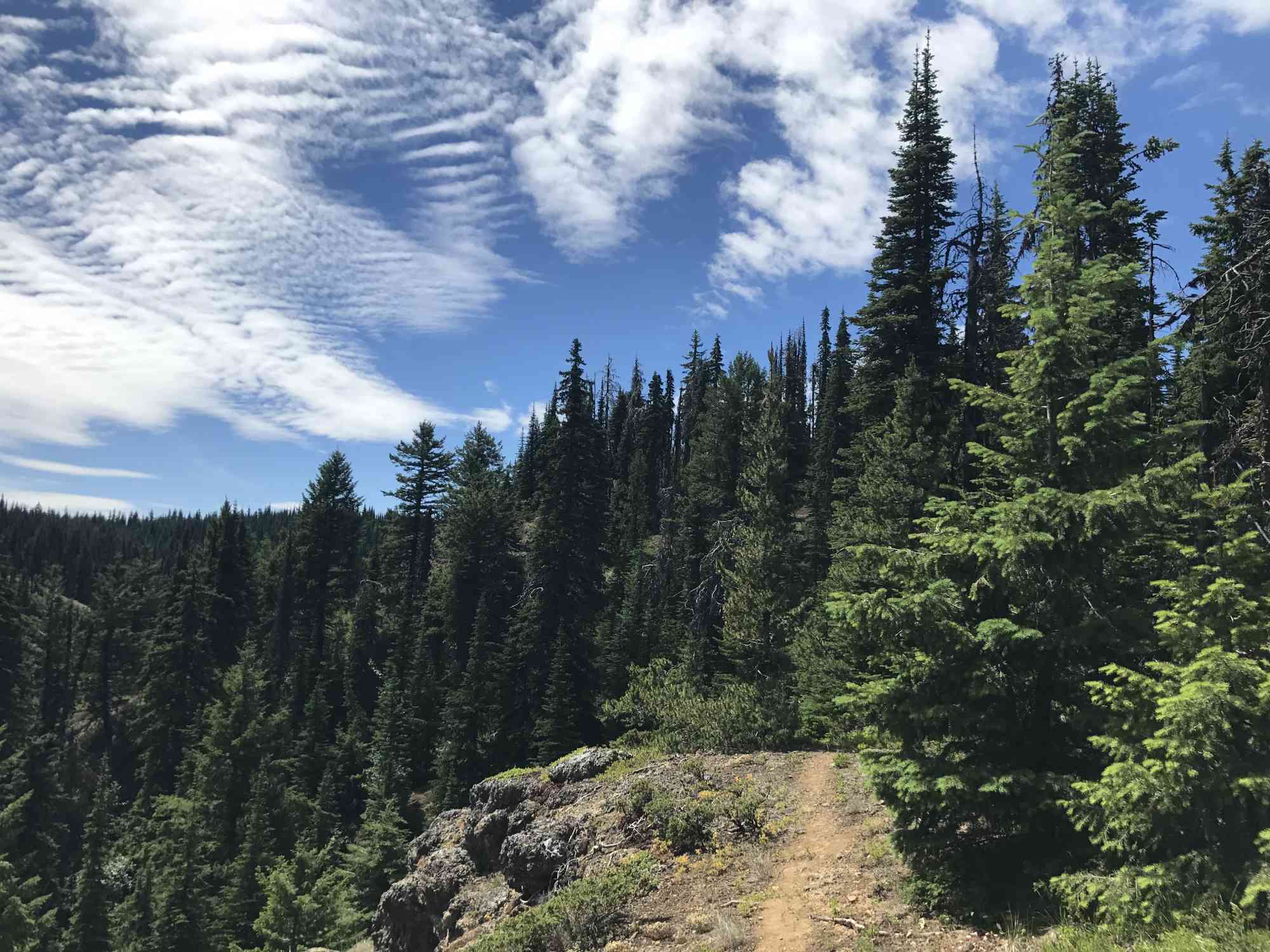
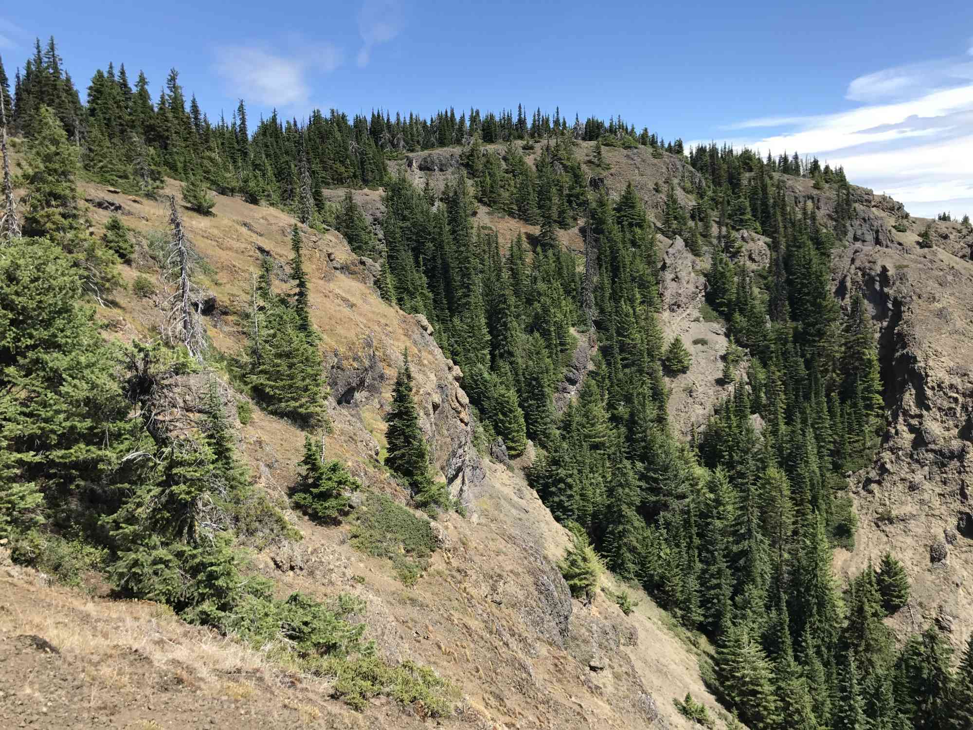
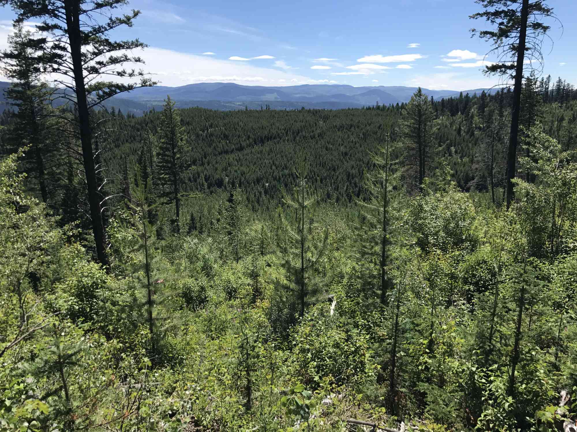
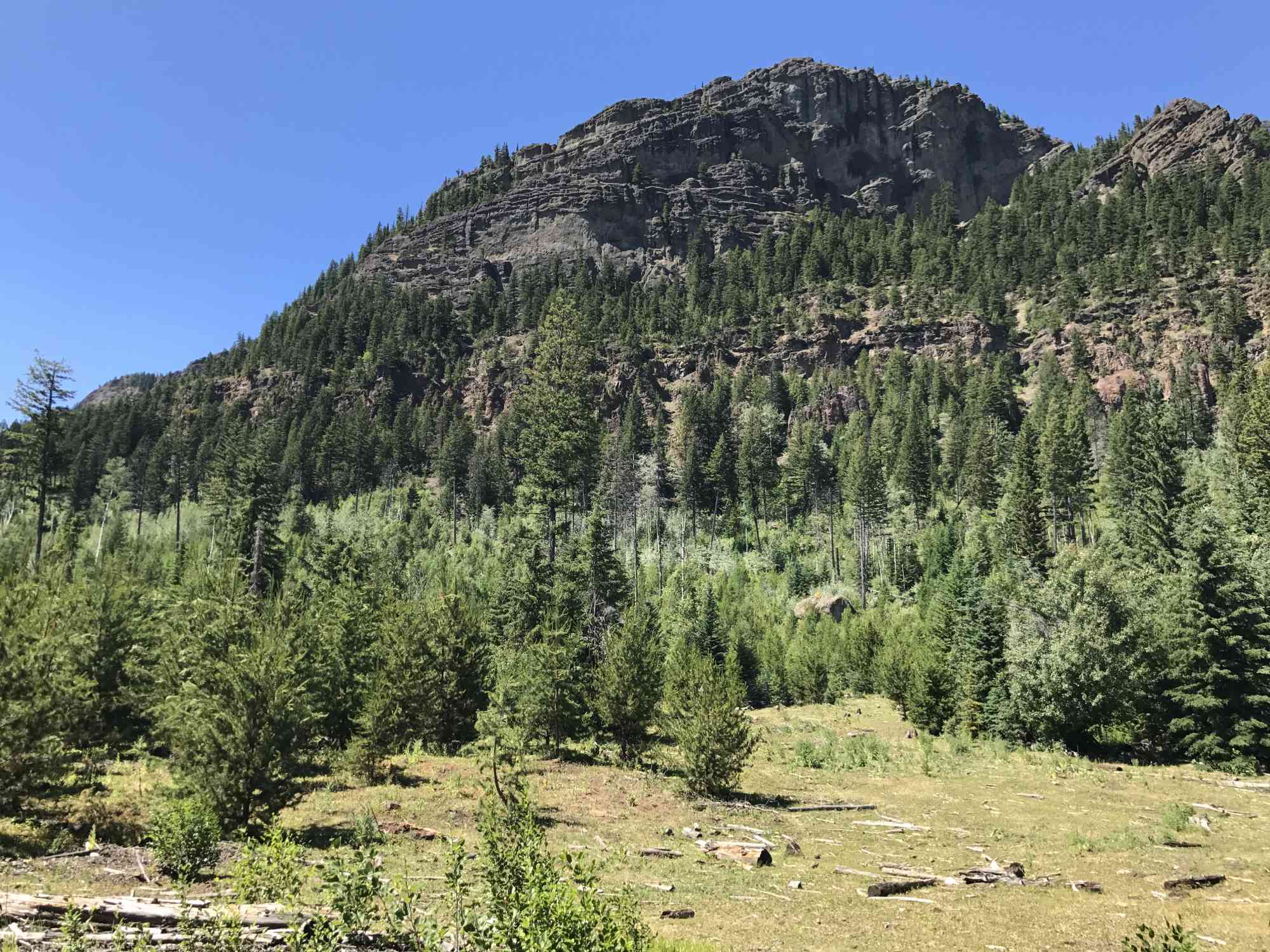
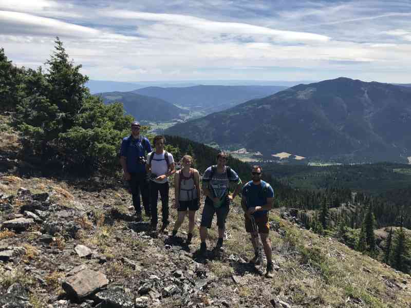
This insanely challenging uphill gauntlet of a hike offers some of the most stunningly unparalleled vistas of Falkland. Walk through sub-alpine meadows, along dangerous but scenic bald cliff faces, and meander through dense forest.
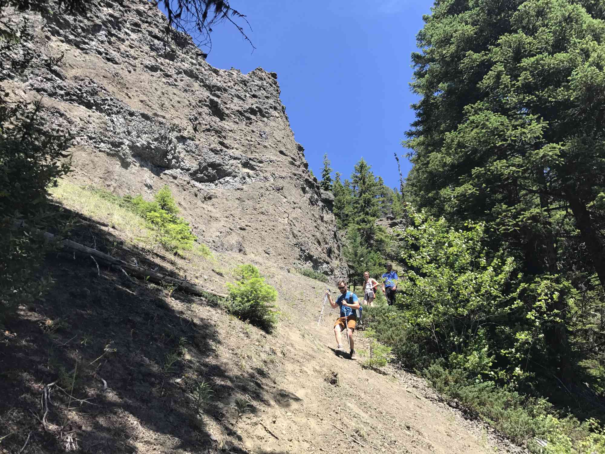
While the trail is fairly well flagged as of 2017, way-finding by paying attention to signs of usage such as trail wear, log cuts, and cairns will be necessary. Additionally, the route down is so incredibly steep that other hikers have left ropes installed to aid in the descent.
The trail is best done as a loop, which will mean road-walking at the end for 1.3 km back to the first trailhead.
Route
Kids & Pets
Features
Address
Driving Time
From Kelowna, BC, approximate travel time by car is 2 hr.
Notable GPS Co-ordinates
Detailed Directions
1) Head towards Vernon from downtown Kelowna
2) Drive through Vernon, and continue west at the top of Swan Lake with signs for Kamloops.
3) Just past downtown Falkland, BC turn RIGHT onto Dump Rd (according to Google)/Wetaskiwin Road (according to signage in real life). This becomes Rob Roy FSR.
This is a DIRT ROAD which is in fair condition. After spring run-off the condition may have dramatically changed; therefore, 4x4 or a vehicle with fair clearance is recommended. In the best of conditions, the approach can be done slowly in a car. There are a number of sections where streams have over-run the road creating small troughs that can be difficult for smaller cars.
4) RESET ODOMETER
5) Arrive at the first trailhead on the right after 7.7 km. Signage for trail is visible on the right. This is where our group meets. The second trailhead, where we exit the hike, is in an open clearing with flagging ribbon on the right-hand side. There is no trail sign here or clear trailhead. It is not recommended to begin the trail at this location.
Google Directions
Personal Hiking Time Estimate
We have a downloadable GPS map for this trail!
Last Updated on Sunday, January 26, 2025
Need help using it? See our FAQ.
Comments
Leave a comment