

Spion Kop: Unofficial Trail
Spion Kop: Unofficial Trail
Winfield
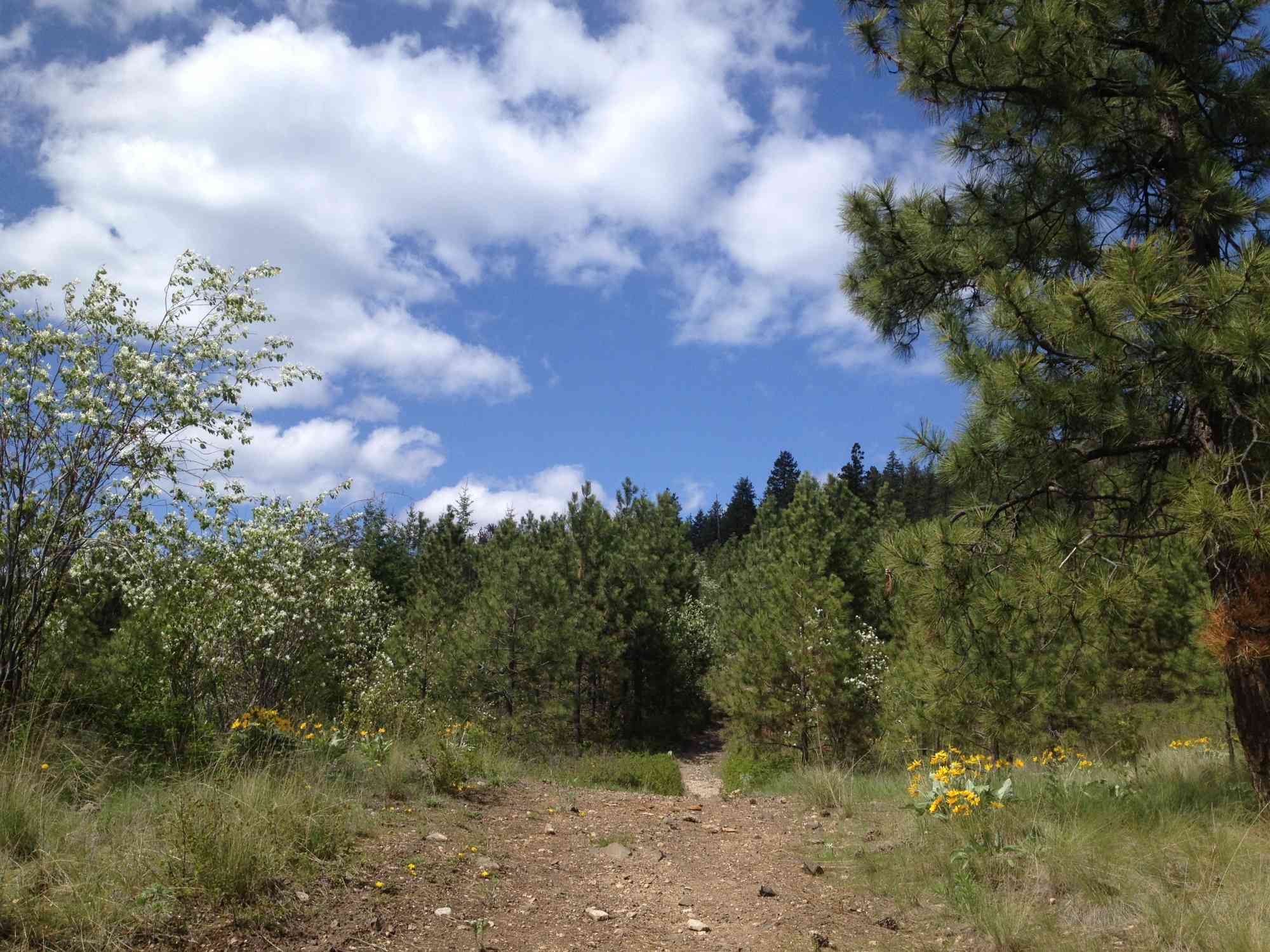
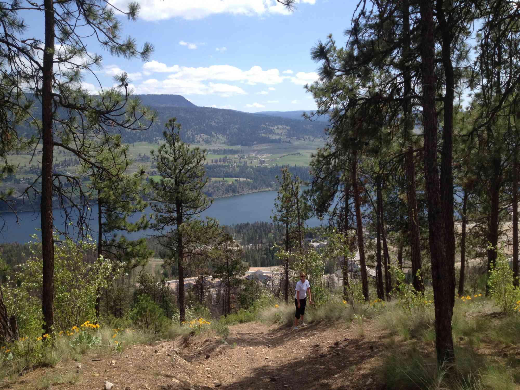
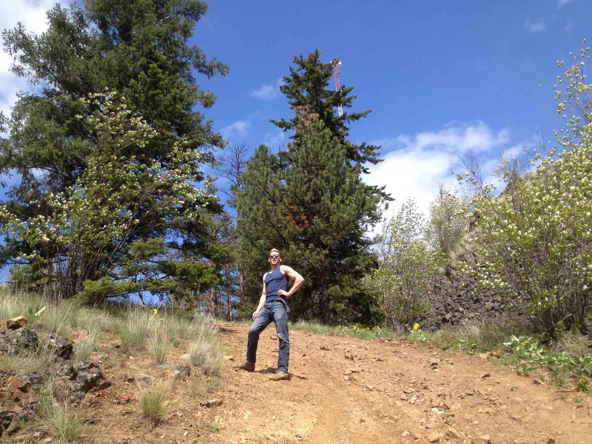
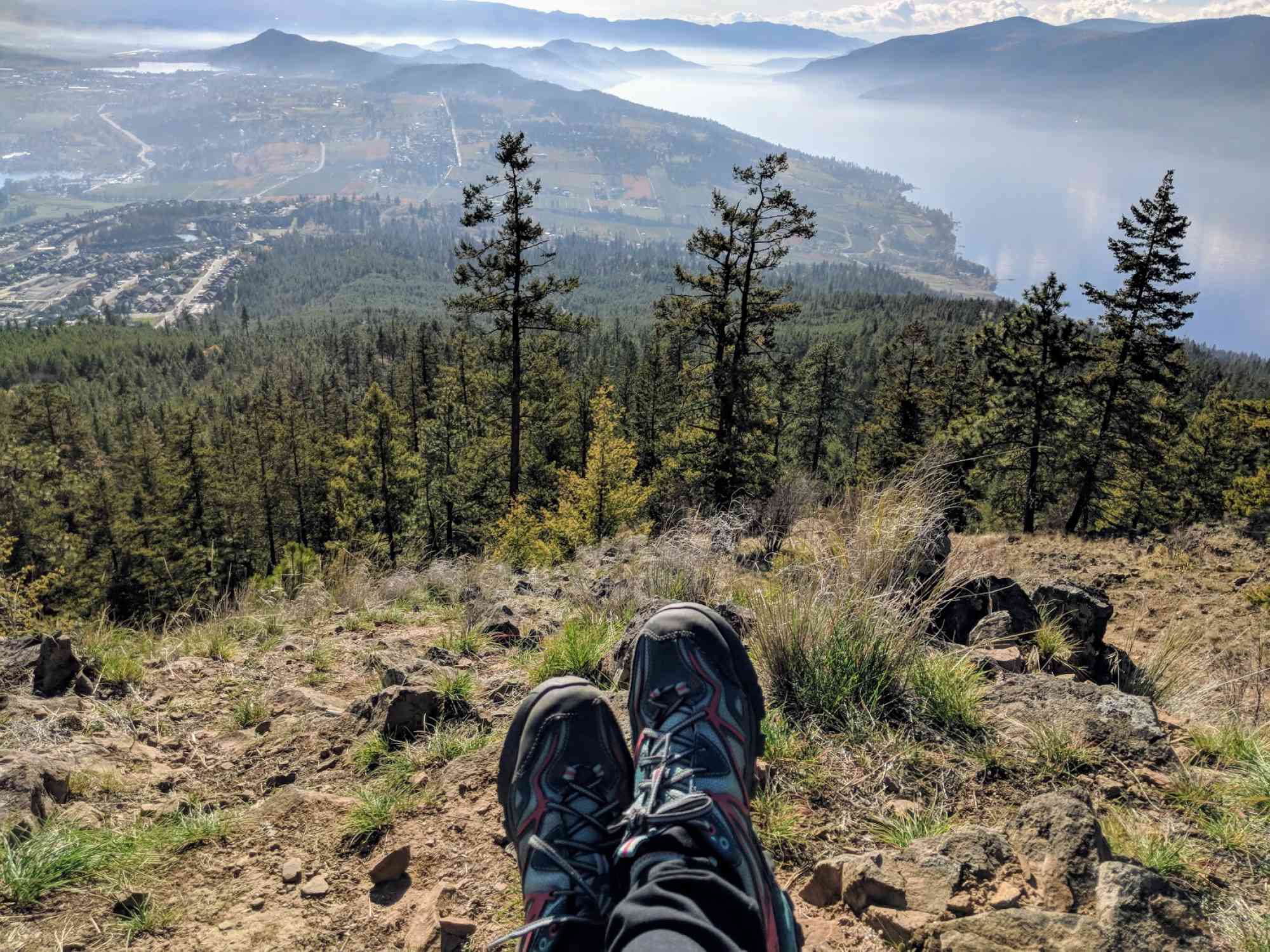
The trail to the peak of the Spion Kop mountain is an extremely difficult incline and is recommended for those at full fitness. If you are up for the challenge, follow a pathway through ponderosa pine and bunch grass to spectacular views of the Okanagan Valley.
The battle of Spion Kop took place in South Africa on the hilltop of Spioenkop in 1900, along the Tugela River during the Second Boer War. It is suggested that a veteran of the war, pioneer Henry Northcote Caeser's brother Leslie, named the mountain after this.
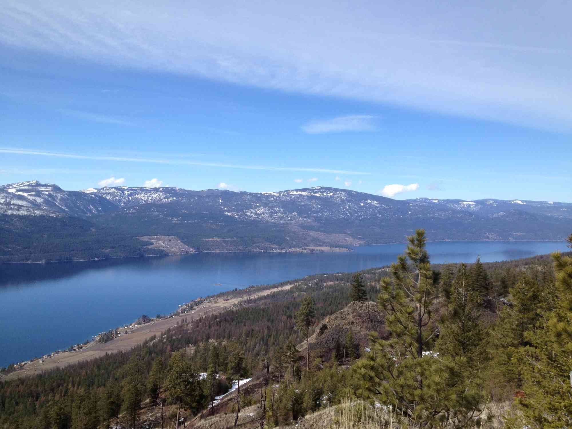
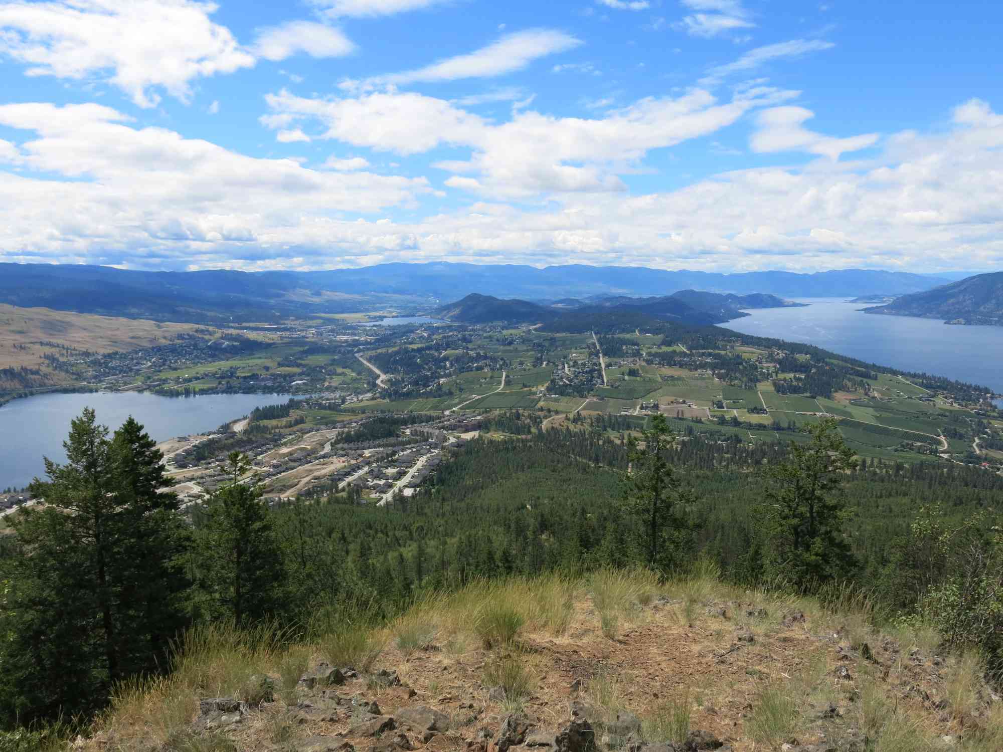
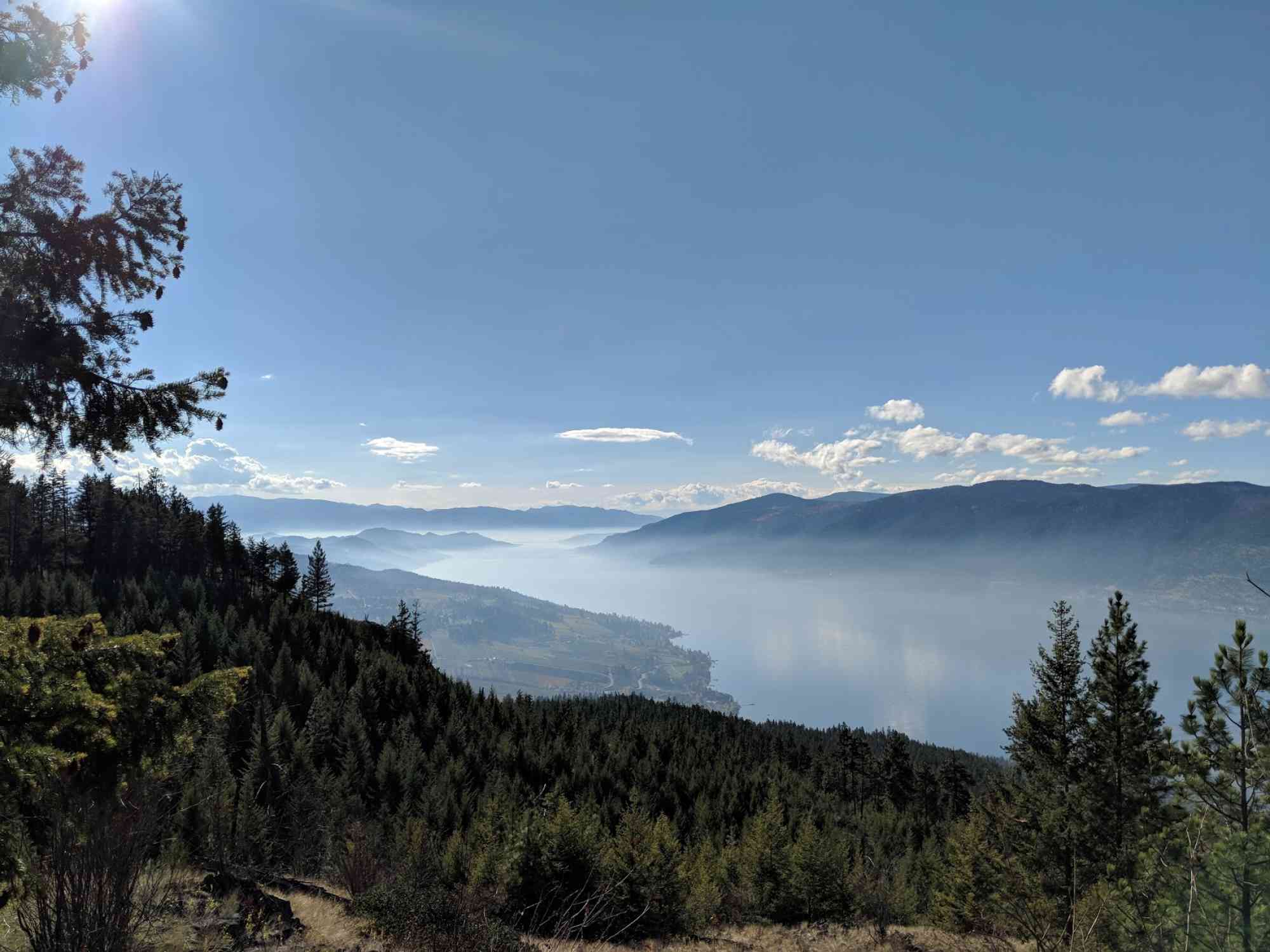
During the summer of 2012, the Walk Around Lake Country group achieved a three-year goal to create well-marked trails forming clearer paths for hikers. This included a cairn marker at "The Grand Overlook". Views from this point include a stretch of the Okanagan Valley, Lake Okanagan, Wood Lake and Duck Lake and surrounding mountains.
Following the markers will connect you to the summit of Spion Kop or to another peak with a view to the north, allowing for sights of Lake Kalamalka and parts of Oyama.
For a published map of the trails, visit the Lake Country Visitor Centre. Motorized vehicles are requested to stay off marked hiking trails.
Route
Kids & Pets
Features
Address
Driving Time
From Downtown Kelowna, approximate travel time by car is 33 min.
Notable GPS Co-ordinates
Detailed Directions
1. Head towards Vernon
2. In Winfield turn left on Oceola
3. Turn right on Lake Hill Dr
4. Turn left on Shoreline Dr
5. Turn left onto Apex Dr
6. Near the end of the road turn left and continue up onto the dirt road to the trailhead (a couple hundred meters).
Google Directions


Personal Hiking Time Estimate
We have a downloadable GPS map for this trail!
Last Updated on Sunday, January 26, 2025
Need help using it? See our FAQ.
Comments
Leave a comment