Using GPS Maps
One of the most valuable resources to have while hiking is a GPS-enabled device. This can be an iPhone, Android, Magellan, or one of many other devices. We offer GPS logs for almost all of the trails in our database for free. Apps for these devices allow you to import these maps and literally follow along as you hike — ensuring you never veer from the trail.
While we strive to provide the most accurate and complete information possible in our maps, we acknowledge that trails change year to year. Using our maps is done at YOUR OWN RISK.
Web Browser Instructions (Easiest/No Apps)
- Login to your account our web site.
- Visit the trails list and select a trail.
- Scroll down to the set of tabs and press the Map tab.
- Click the target icon to request permission from your web browser to show your current location on the map.
Gaia App (Best iOS/Android App)
- Log into your account on our web site.
- Pull up the trail details you want to download, and click the Map tab.
- Click the Download button and choose to open the file with the Gaia app.
- The map automatically imports and is visible on the master Map tab. Hike away!
AllTrails Instructions (iOS/Android)
- Download the GPX map file from our web site.
- Log into your account on https://www.alltrails.com/ (not inside the app)
- Navigate to "Saved" in the top header and select "Create Map"
- Click the "Upload from File" button and choose the .gpx file downloaded from our web site.
- Click Next and then Save!
- Launch the AllTrails app, click "Saved", select the map that was just imported, and click "Start" to track your route.
GPX-Viewer for iOS Instructions (Decent iOS App/Free)
-
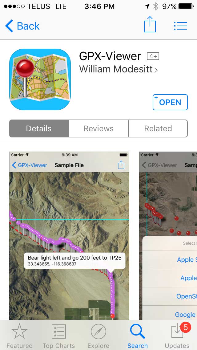
Download and launch the app (link available on our Shop) on your iPhone.
-
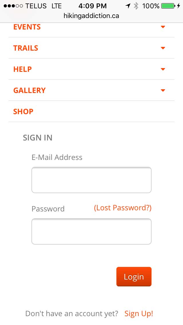
Go back into Safari on your phone, navigate to HikeTheOkanagan.com, and login to your paid account. You may need to click the navigation icon () at the top of the page to expose the login form.
-
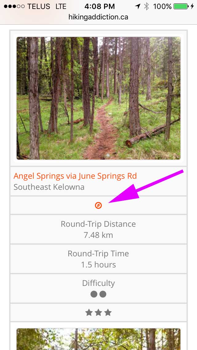
Visit the Trails list page and click the compass icon next to the trail you want the map for. Or, view the trail details page, scroll down to Trail Map, and click Download.
-
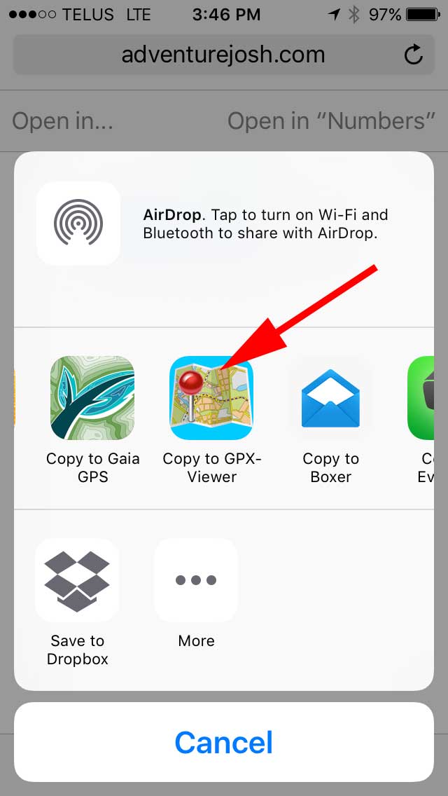
The file begins to download. Click the "Open In..." button and choose the new app we've just installed.
-
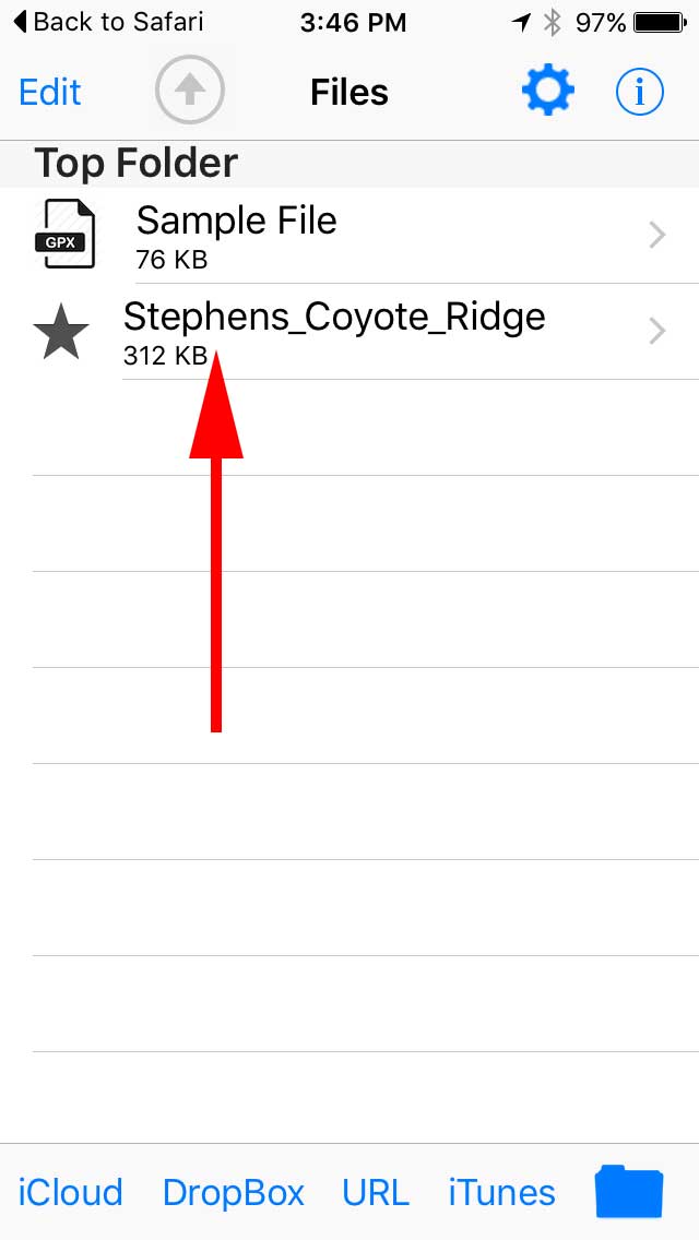
The imported map now appears in the Files list inside the app. Select it.
-
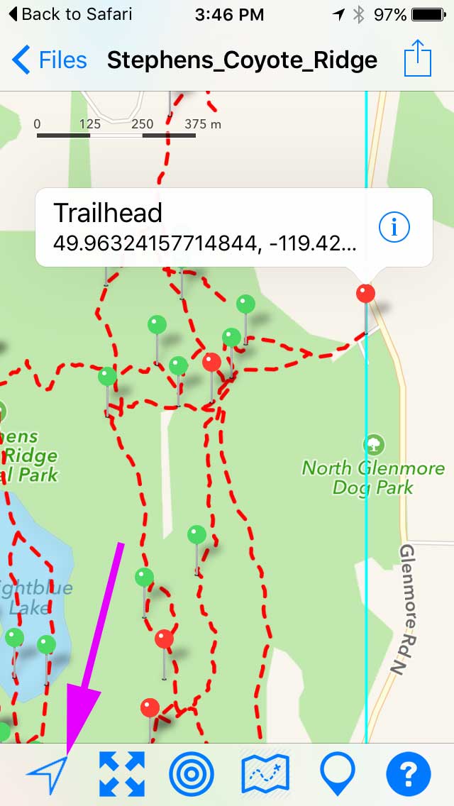
Press the Location icon in the bottom left of the window to show your current location on the trail. Waypoints can be tapped to view their label.

