
Angel Springs via KLO Creek
Angel Springs via KLO Creek
Southeast Kelowna
A hike that is truly about the journey, not the destination.
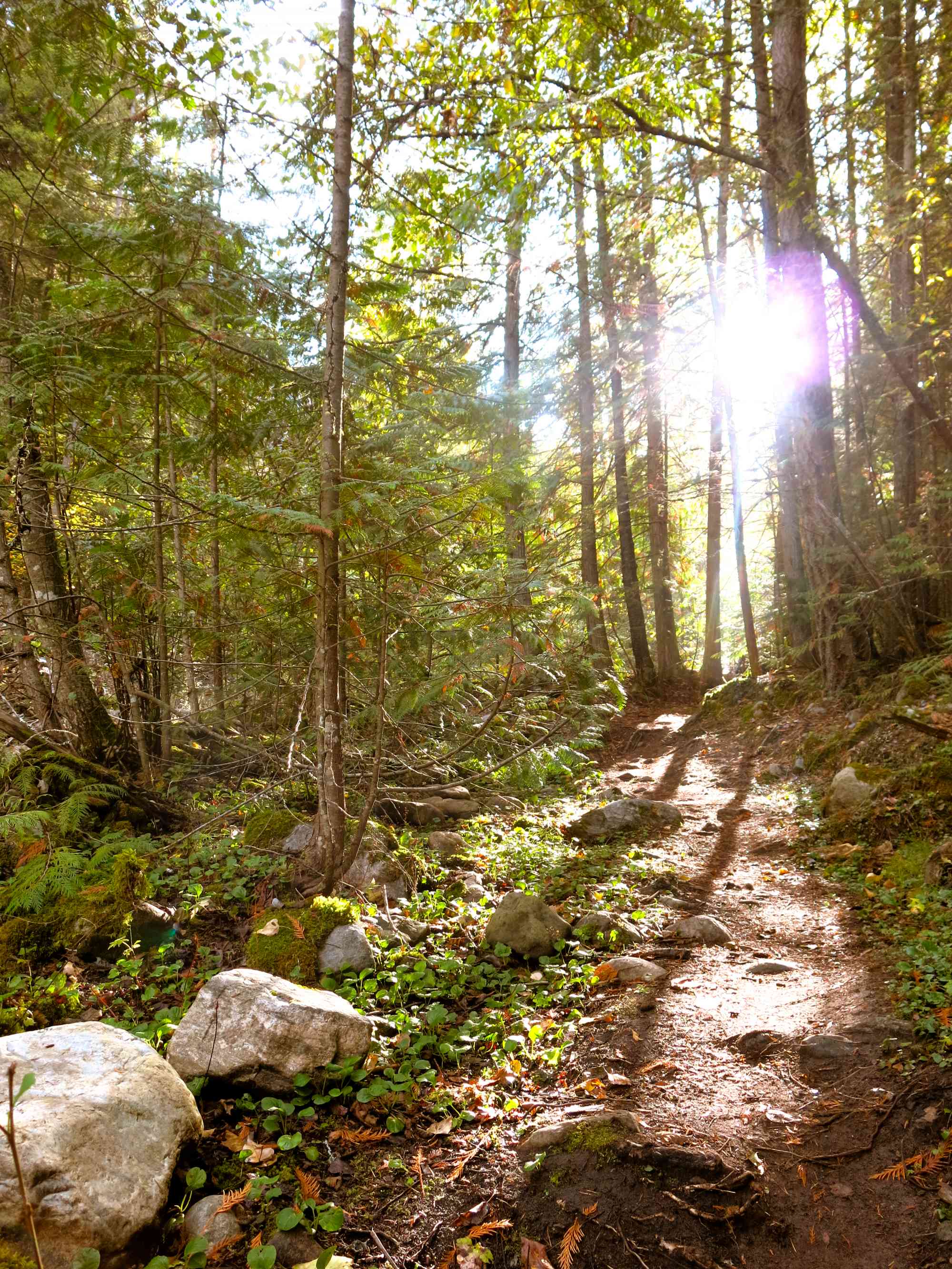
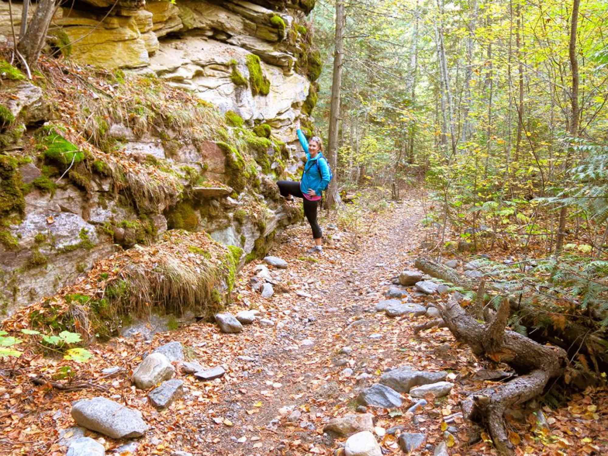
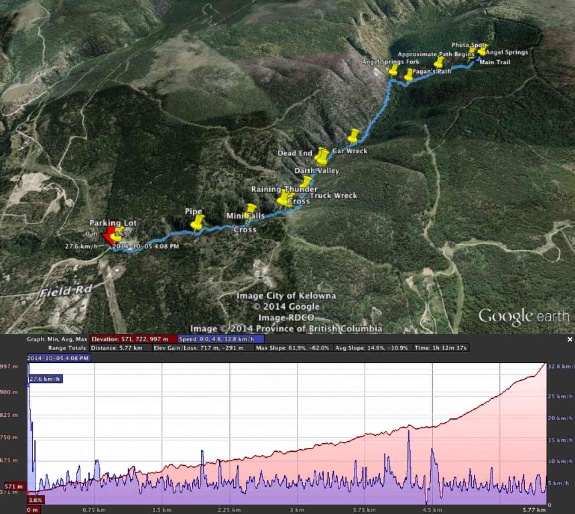
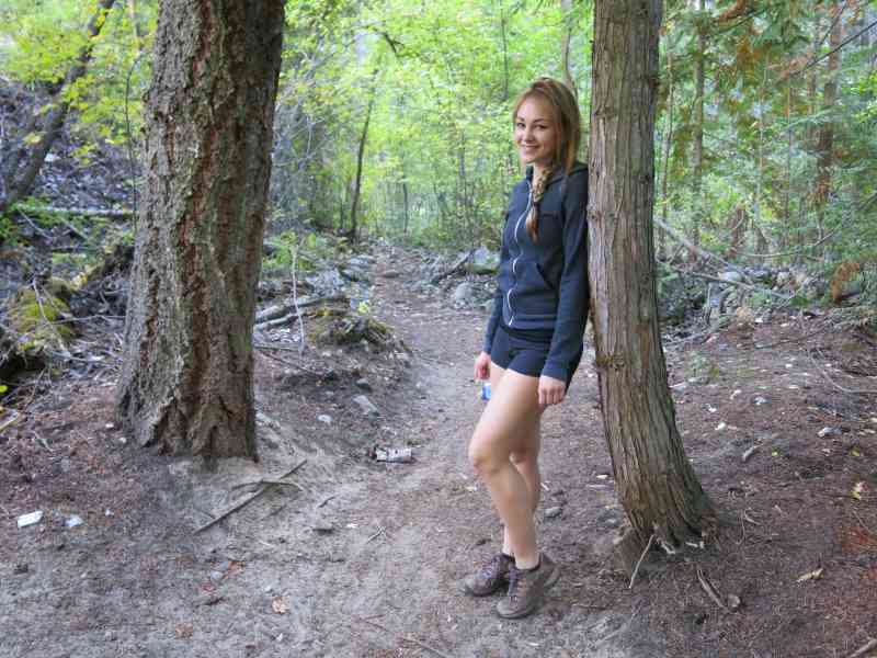
This alternative access route to Angel Springs offers a substantially more enjoyable hike in than the route offered by the Trestles route. Beginning at the hairpin turn just after Field Rd on McCulloch Rd in East Kelowna, this moderate coniferous forest trail gives you the chance to witness interesting geological formations and natural springs.
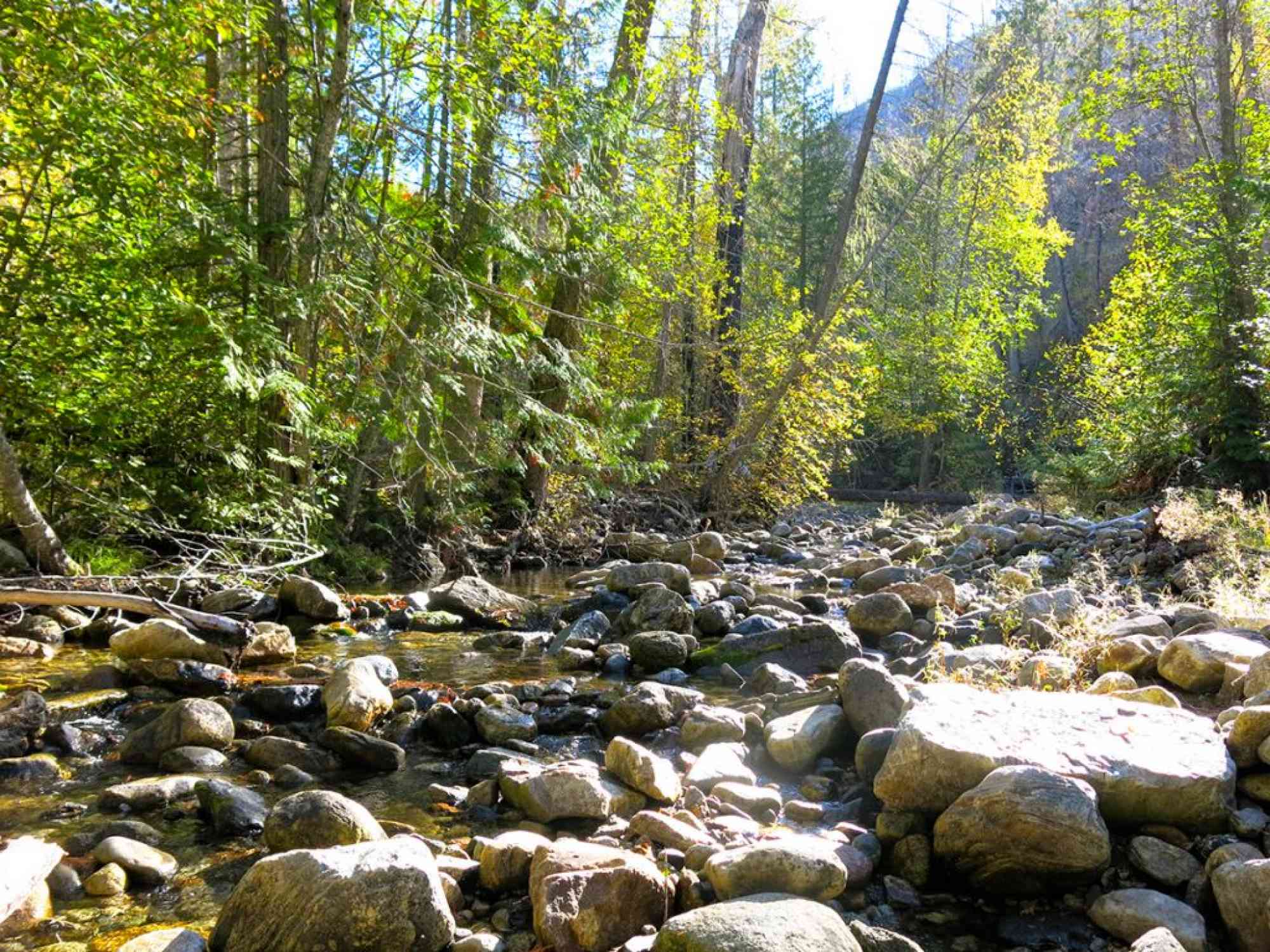
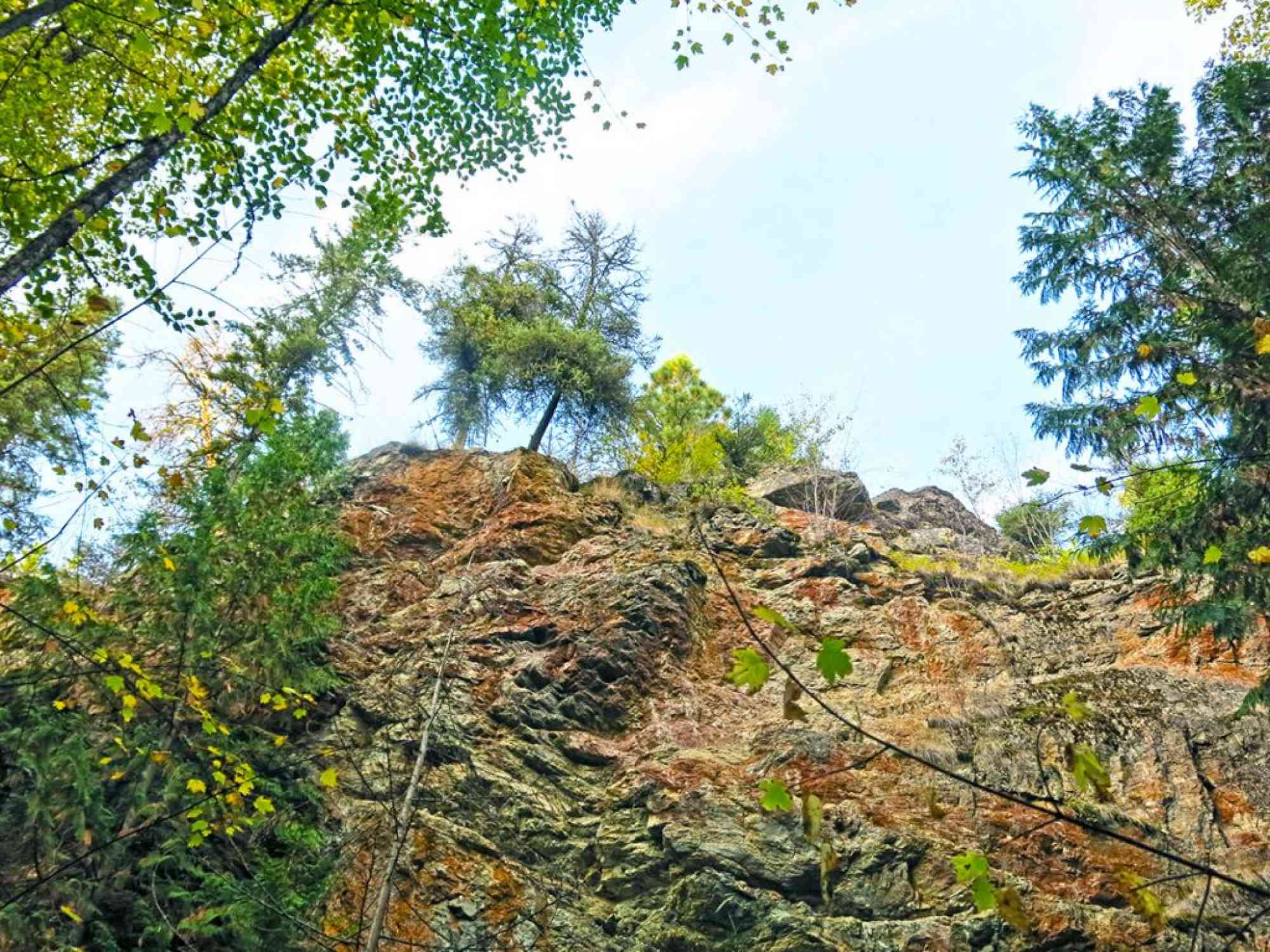
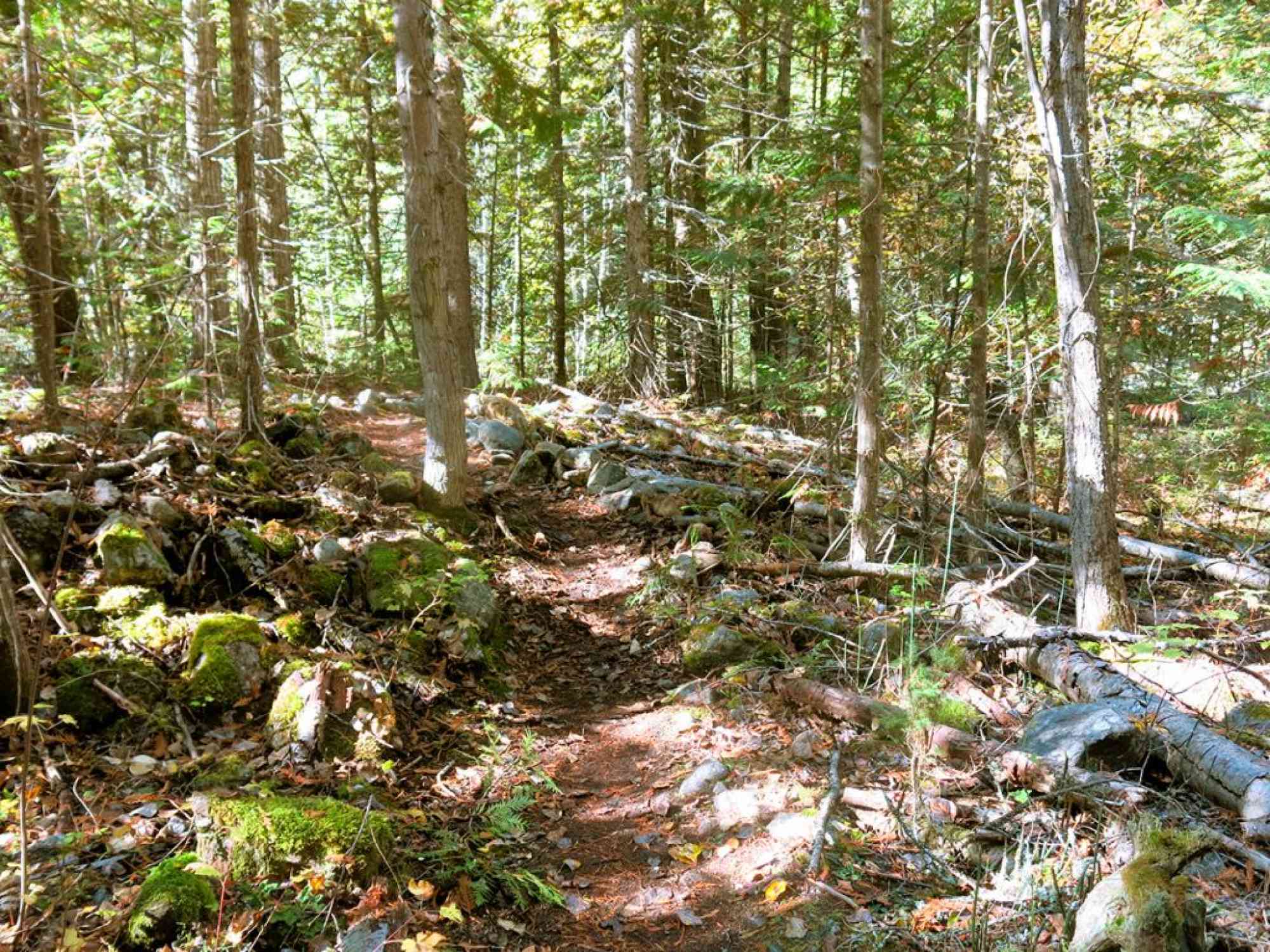
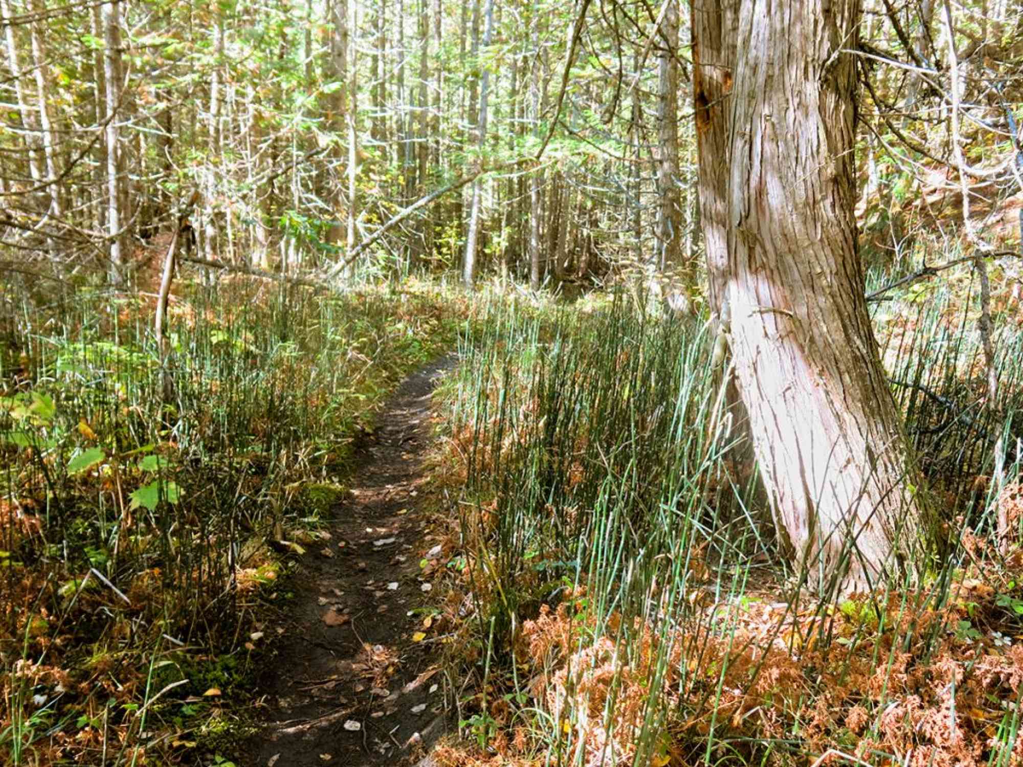
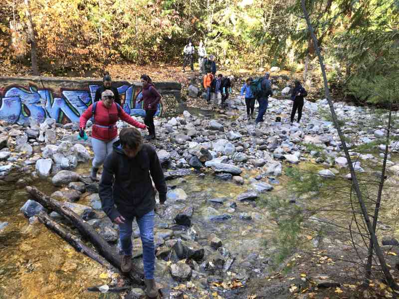
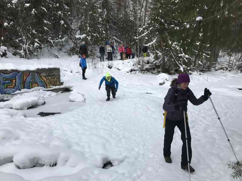
The first approximate 4 km of the trail is part of KLO Creek and offers a beautiful view of the winding canyon and unique rock formations. Pay close attention to our GPS log as the trail can be difficult to follow if unfamiliar with watching for signs of trail usage (especially at unmarked river crossings). The forest en-route includes Douglas-fir, Lodgepole Pine, Western Larch and Western Red Cedars.
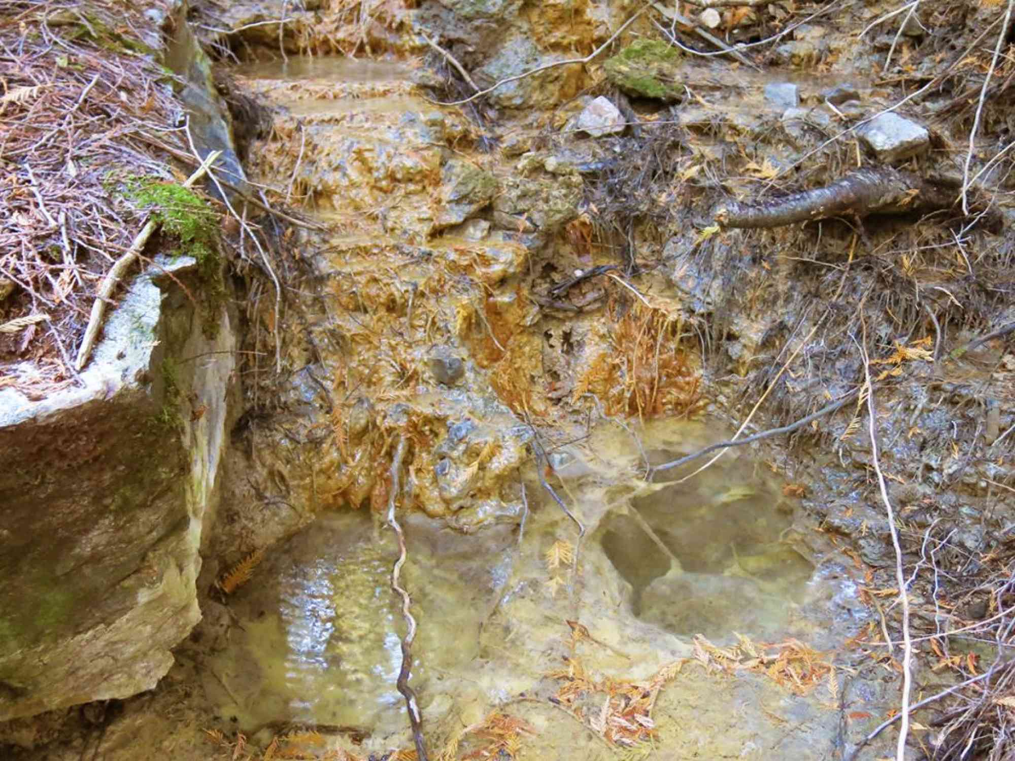
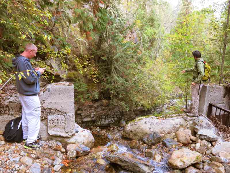
At the springs, the water below the surface is heated geo-thermally to over 100°C. However, the above ground springs are lukewarm at about 25°C (even colder during spring runoff) and can be identified by orange-coloured tufa deposits that they have created. Tufa is a mineral formed when calcite crystallizes after water evaporation.
Due to a few unbridged river crossings, we recommend that you do not follow this route in the early spring was water levels may be too high. Bring a backup pair of dry socks and shoes just incase!

Route
Kids & Pets
Features
Address
Driving Time
From Downtown Kelowna, approximate travel time by car is 30 min.
Notable GPS Co-ordinates
Detailed Directions
1. From downtown Kelowna, drive north towards Vernon.
2. Turn RIGHT on Gordon Dr
3. Turn LEFT on KLO Rd.
4. Turn RIGHT onto McCulloch Rd near the McCulloch Station Pub.
5. Turn RIGHT to stay on McCulloch Rd at the Rose Rd intersection.
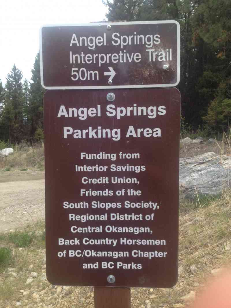
5. Park at KLO Creek Regional Park.
Google Directions
Duration Calculator
The metrics for this trail have been converted to round-trip formation for distance and elevation gain/descent if necessary.
We have a downloadable GPS map for this trail!
Last Updated on Sunday, January 26, 2025
Need help using it? See our FAQ.
Trying to get there in time (leaving Oct 3 from SK), this will be my first hike of the year! Trying to invite my sister in law who just moved from Calgary :) So excited!
Sunday, September 28, 2014 at 3:31 PMHiked it today under heavy rains elswhere in Kelowna. Kept ralativey dry with the tree cover protecting me for the most part. The creek was easily crossable when needed as water levels have subsided. Trail in Great shape
Sunday, May 17, 2015 at 7:42 PMWill I really stumble upon you in a toga on this trail, Josh?
Sunday, October 9, 2016 at 11:44 AMSorry what?
Sunday, October 9, 2016 at 11:54 AMHi
Monday, August 7, 2017 at 9:55 AMDoes anyone know how the vehicles got to the trail?
Thanks
Alexandra
Leave a comment
You must Login to post a comment!