Batchelor Heights

Kamloops

15 min from Downtown Kamloops
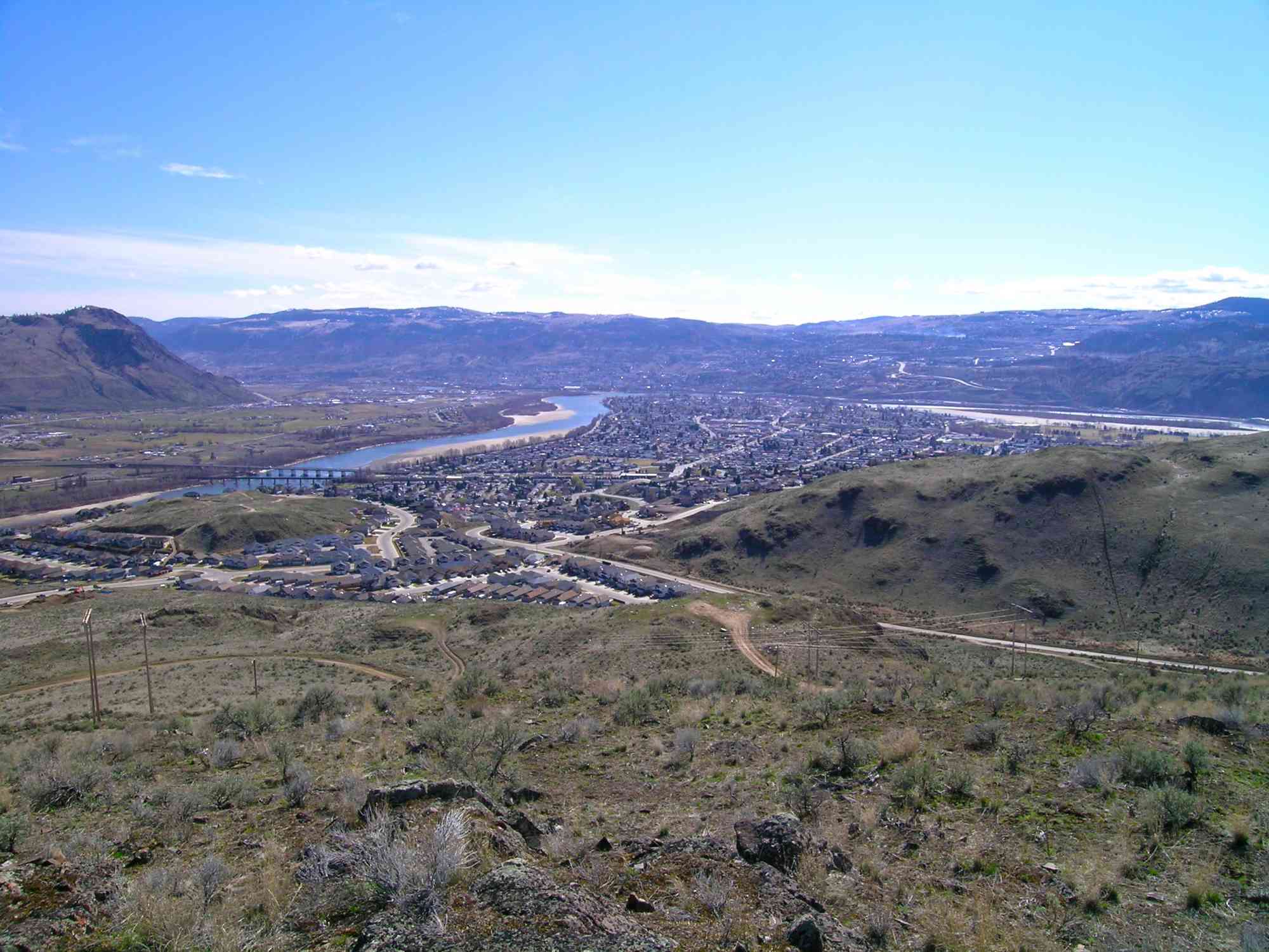
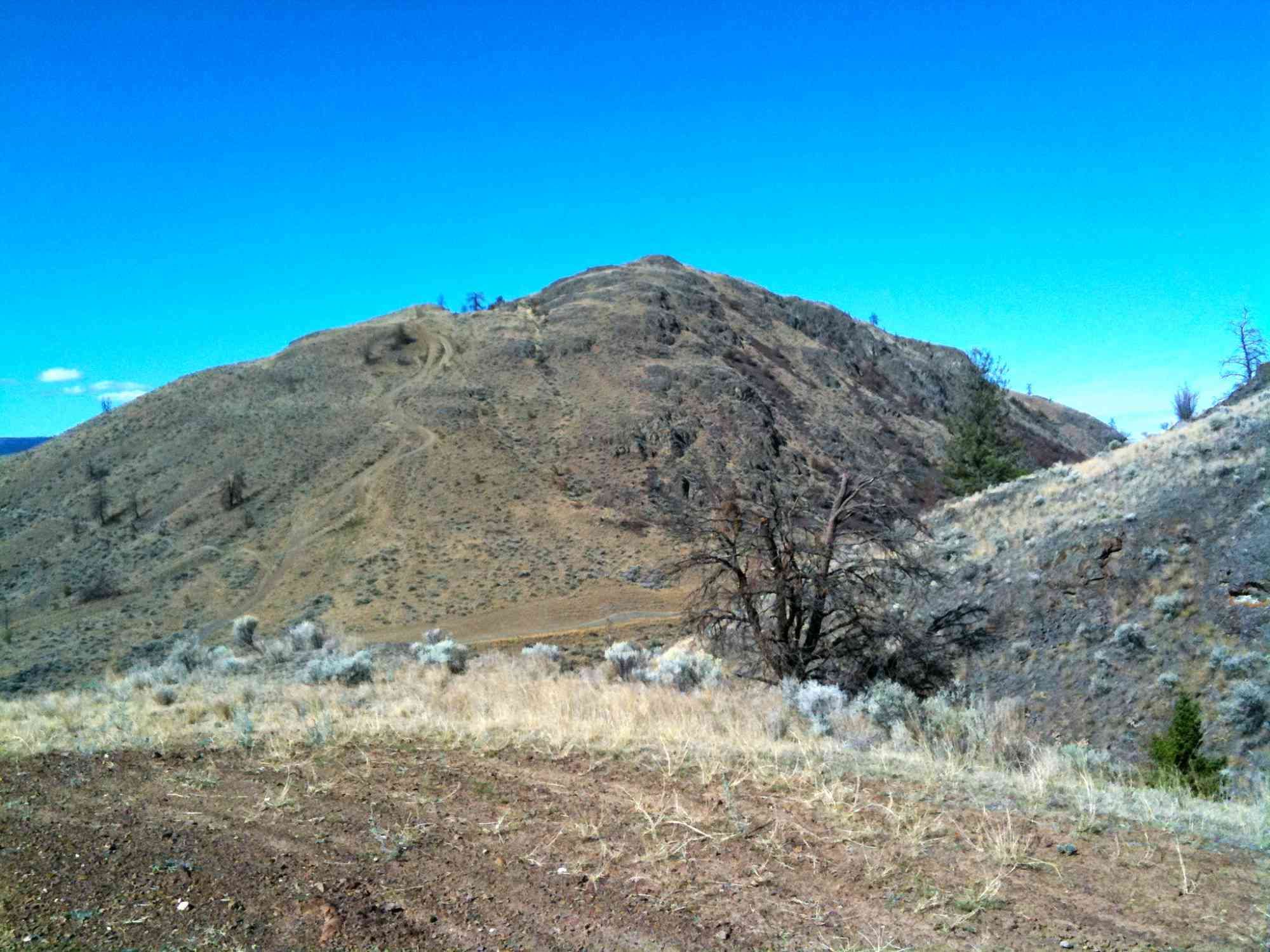
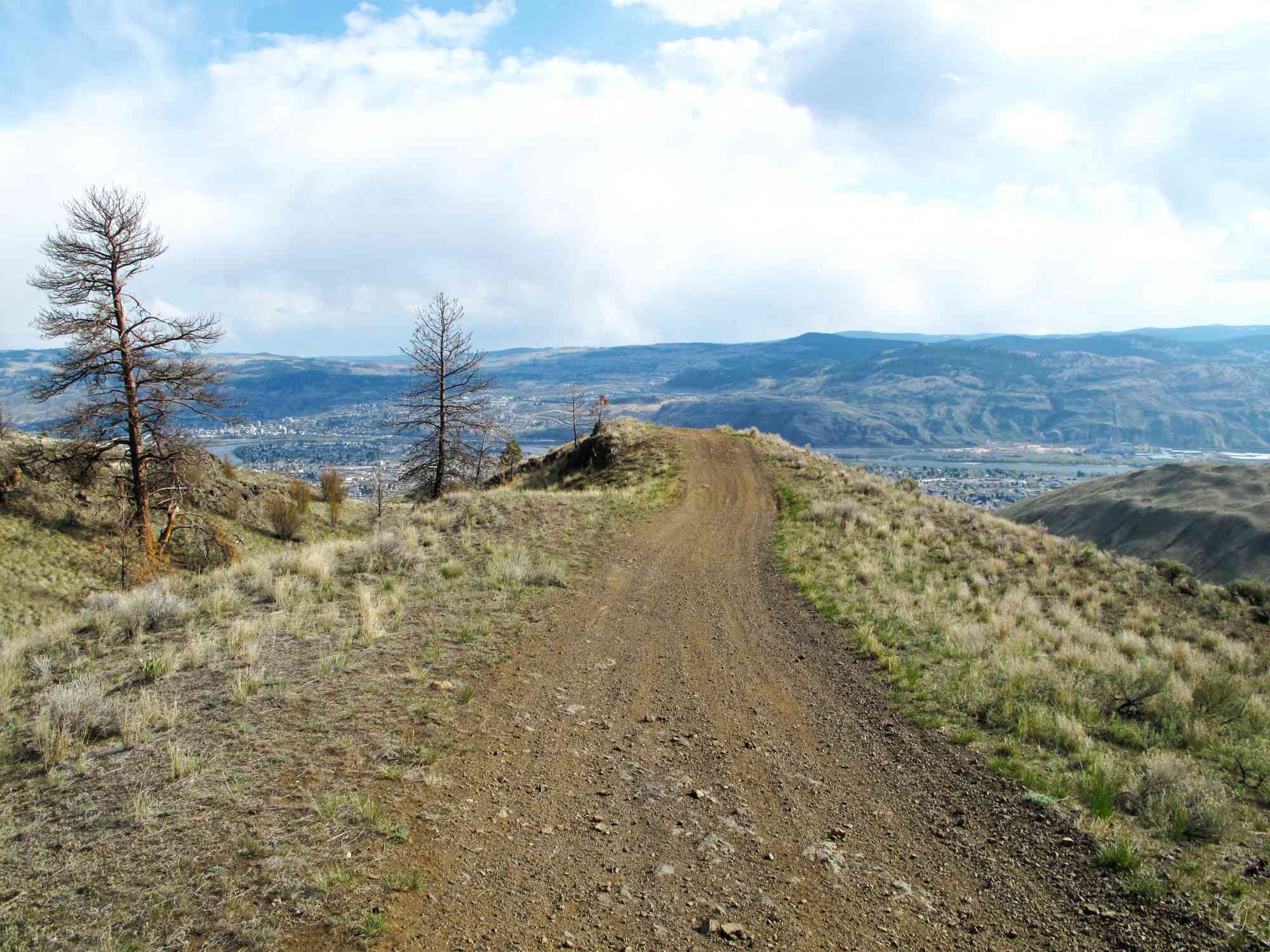
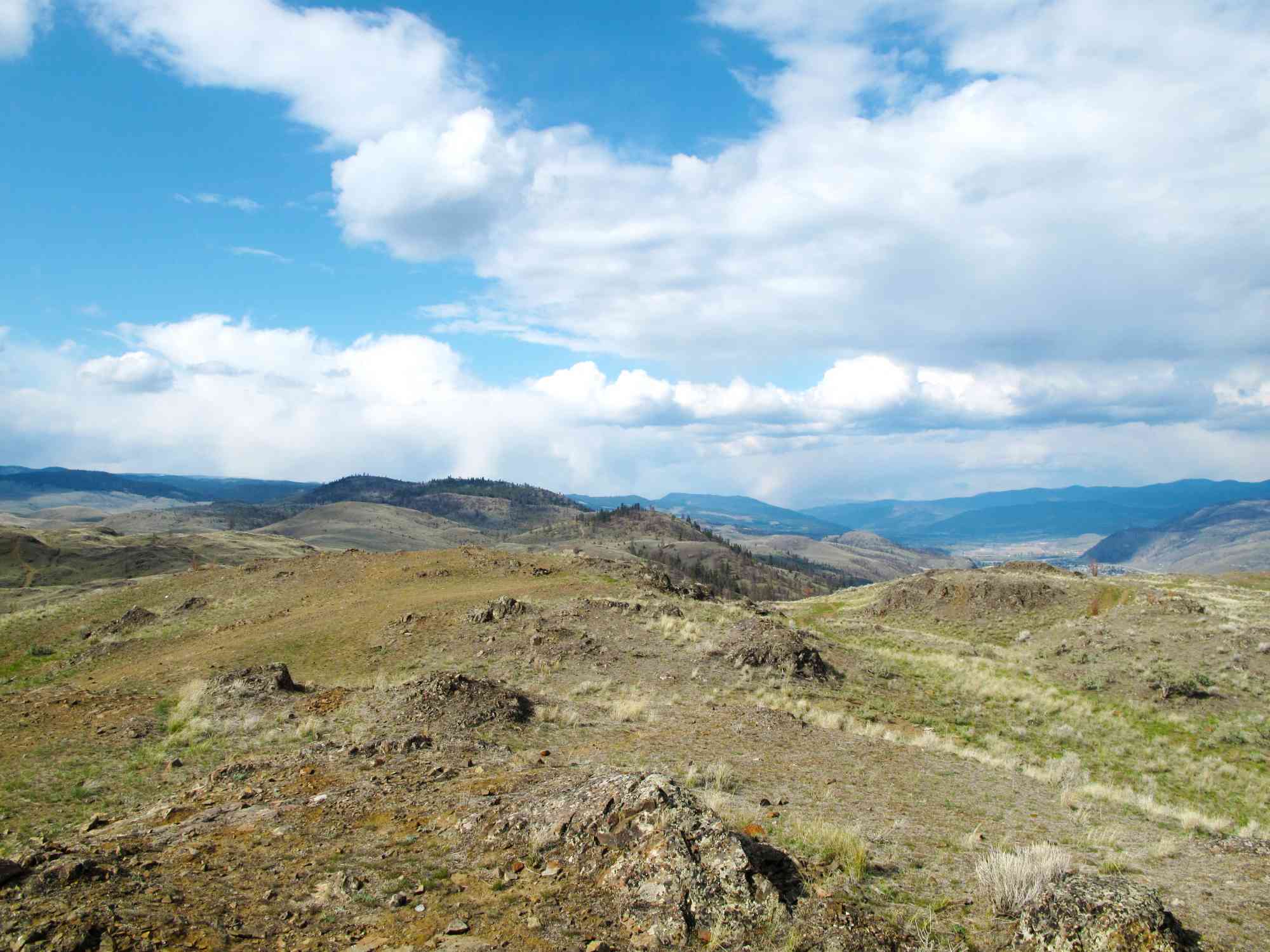
50.722176, -120.375418

The classic Batchelor Heights hike! Offers numerous fantastic lookouts over Kamloops. Prepare for a really strenuous uphill hike with difficult sections coming down.

Route
  • Short
  • Difficult
  • Out & Back Same Way
  • 4.86 km round-trip
  • 1 hr 10 min solo
  • 1 hr 51 min group
  • 436 m gain
Kids & Pets
  • On-Leash
Features
  • GPS Map available.

Address

50.722176, -120.375418

Driving Time

From Downtown Kamloops, approximate travel time by car is 15 min.

Notable GPS Co-ordinates

Detailed Directions

1) Starting on Victoria St in downtown Kamloops, cross the bridge to the North Shore.
2) Continue following across Overlander bridge as the road becomes Fortune Dr.
3) Turn RIGHT on 8th St.
4) At the intersection of Westsyde Rd and Batchelor Dr, continue straight up the hill.
5) Cross the cattle guard, and park on the right.

Google Directions

Create Album

Photo Albums
No albums to show

If you need assistance, please contact us
Linear Trail
This is a linear (out and back/not a loop) trail; the values below indicate the one-way statistics from the trailhead to the end of the route.
  • Starting Elevation: 472 meters
  • Ending Elevation: 790 meters
  • Maximum Elevation: 790 meters
  • Minimum Elevation: 472 meters
  • Elevation Gain: 436 meters
  • Elevation Loss: -119 meters
  • Slope Up: 22.00%
  • Slope Down: -22.00%

Duration Calculator

The metrics for this trail have been converted to round-trip formation for distance and elevation gain/descent if necessary.

Estimated Time: -- hours

View Full Screen

GPS Notes
We have often color-coded our GPX tracks. While it is not always the case, we have tried to use the following convention on our newer maps:

Green/Blue: human-verified by our volunteers.
Purple: overgrown trail, bushwhack, or on private property.
Red: default color or not reality-checked
Yellow: Road
Other Colors: May have been satellite traced or imported from third party sources.

While we strongly believe our GPS are accurate, please be aware that no logging system is perfect and to be aware of potential errors. Use at your own risk.
There are currently no user comments.

Leave a comment

You must Login to post a comment!