
Bedford Lookout Loop
Bedford Lookout Loop
Peachland
11 min from Peachland
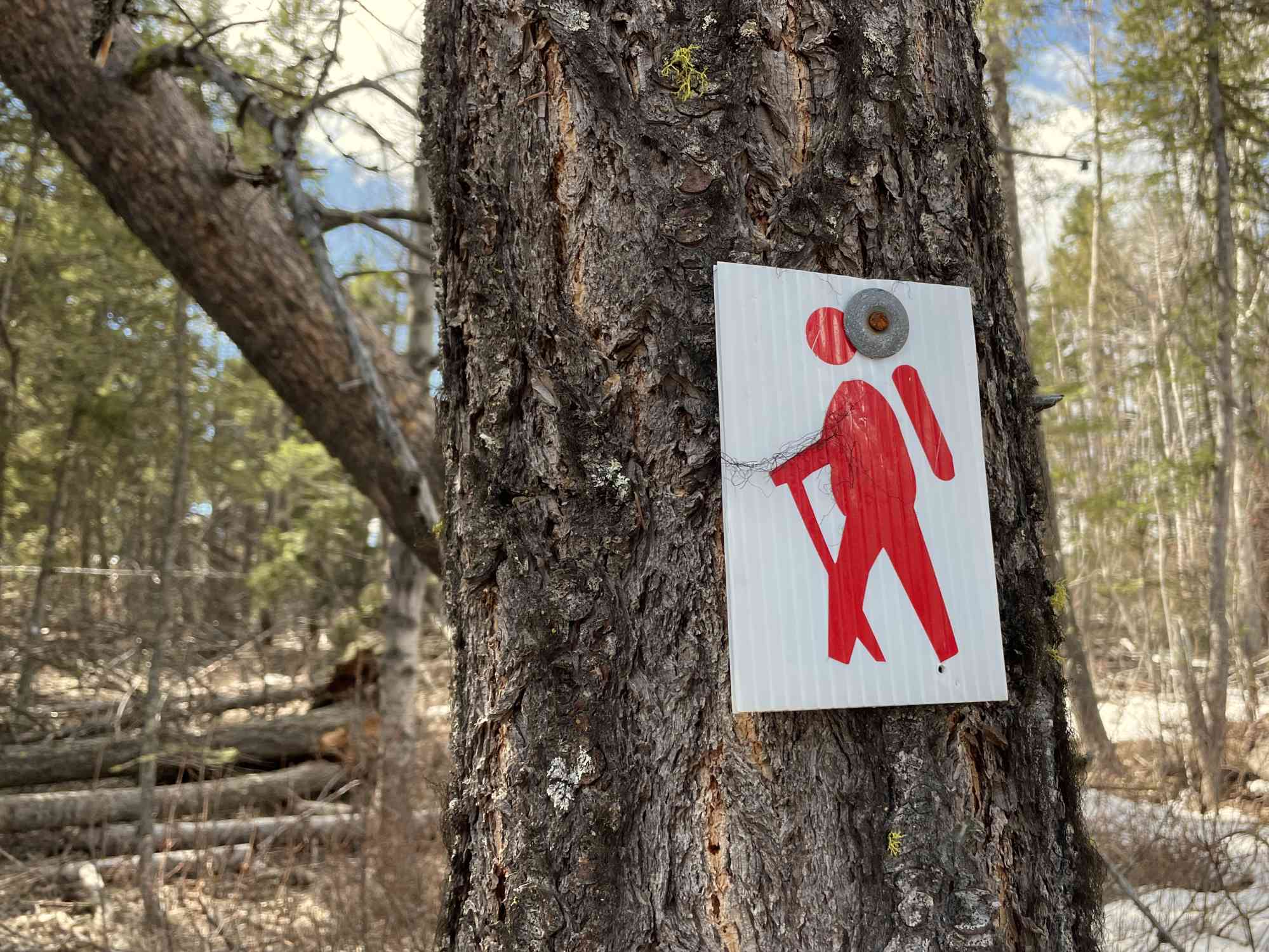
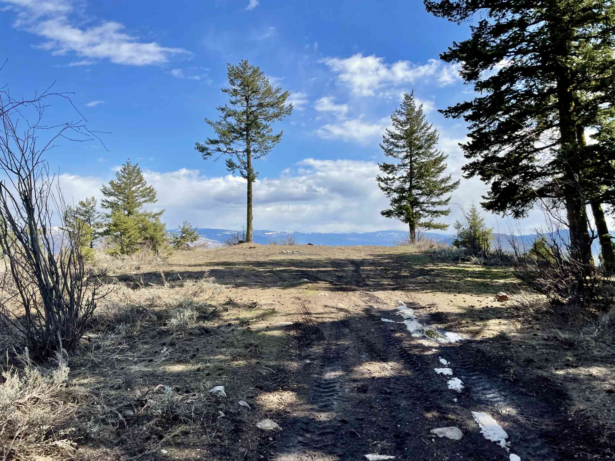
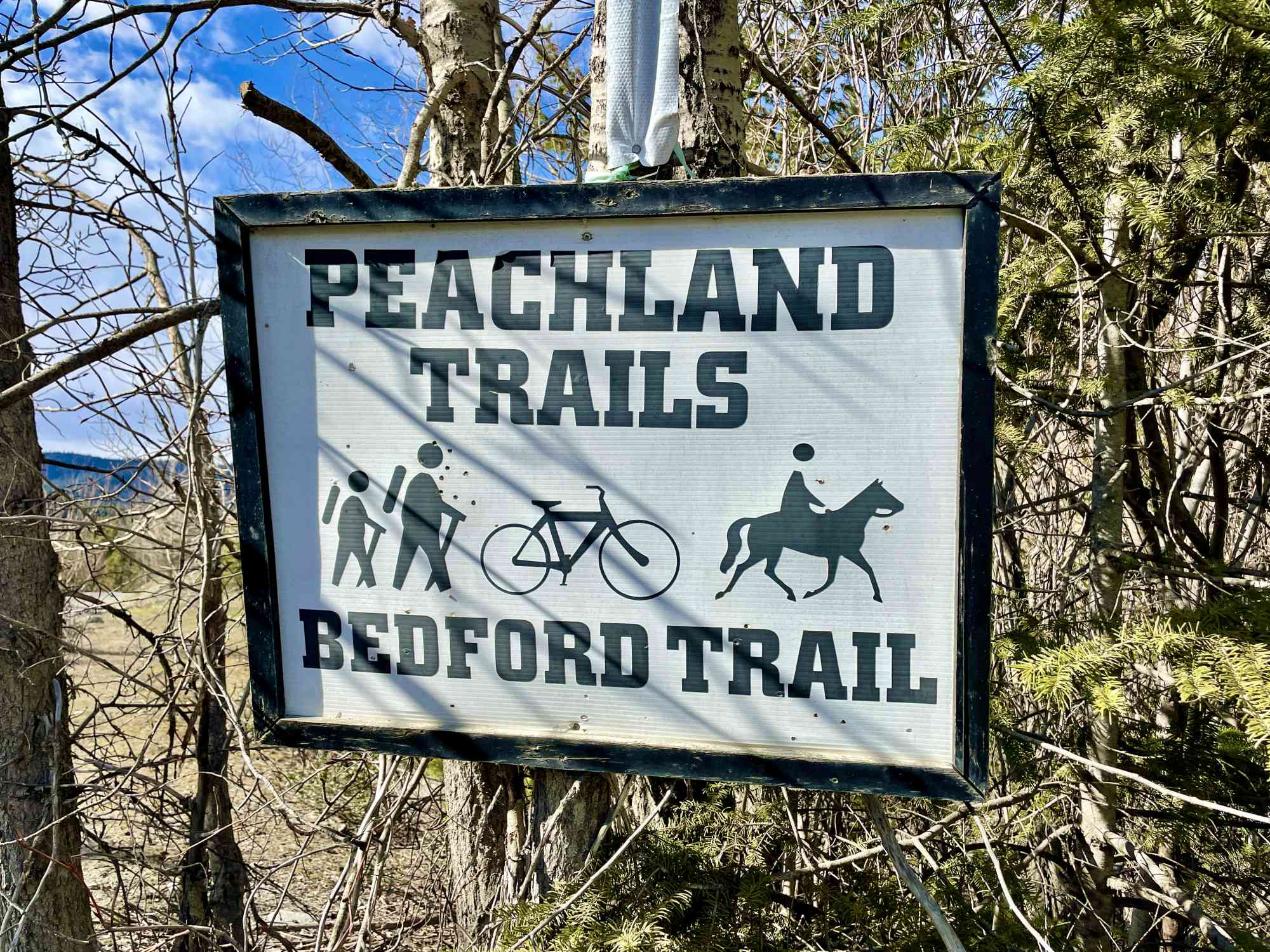
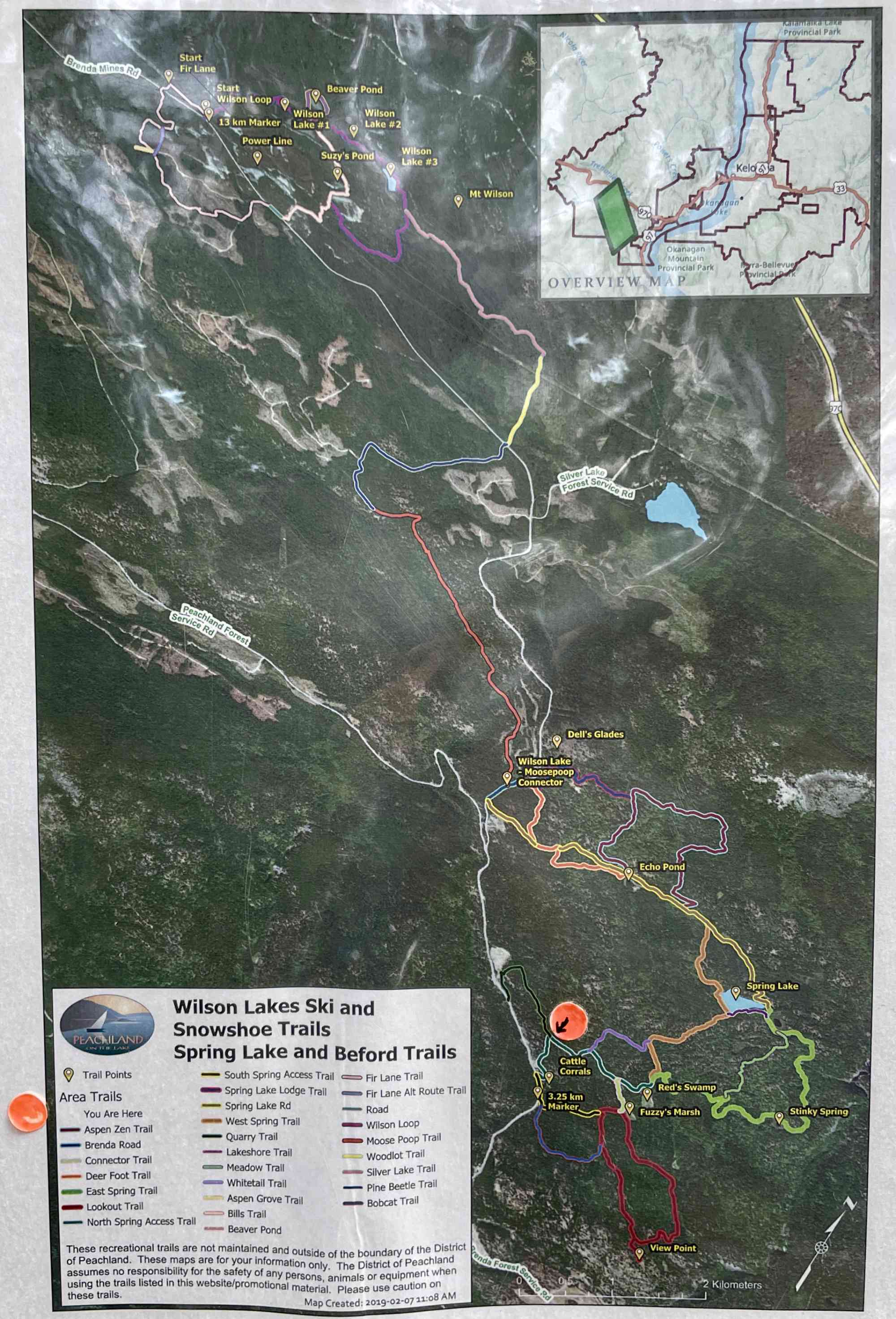
49.77708177548788, -119.8249163630511This trail is part of the immense Bedford Trail network. The network has over 30 km of trails, many of which are seldom used in 2021 and have become overgrown, with even the signs and markers aging and falling off trees. The official park map is wildly out of date and incomplete. Do not attempt without our GPS map: it is easy to get lost — especially considering most of the park is out of cell service range.
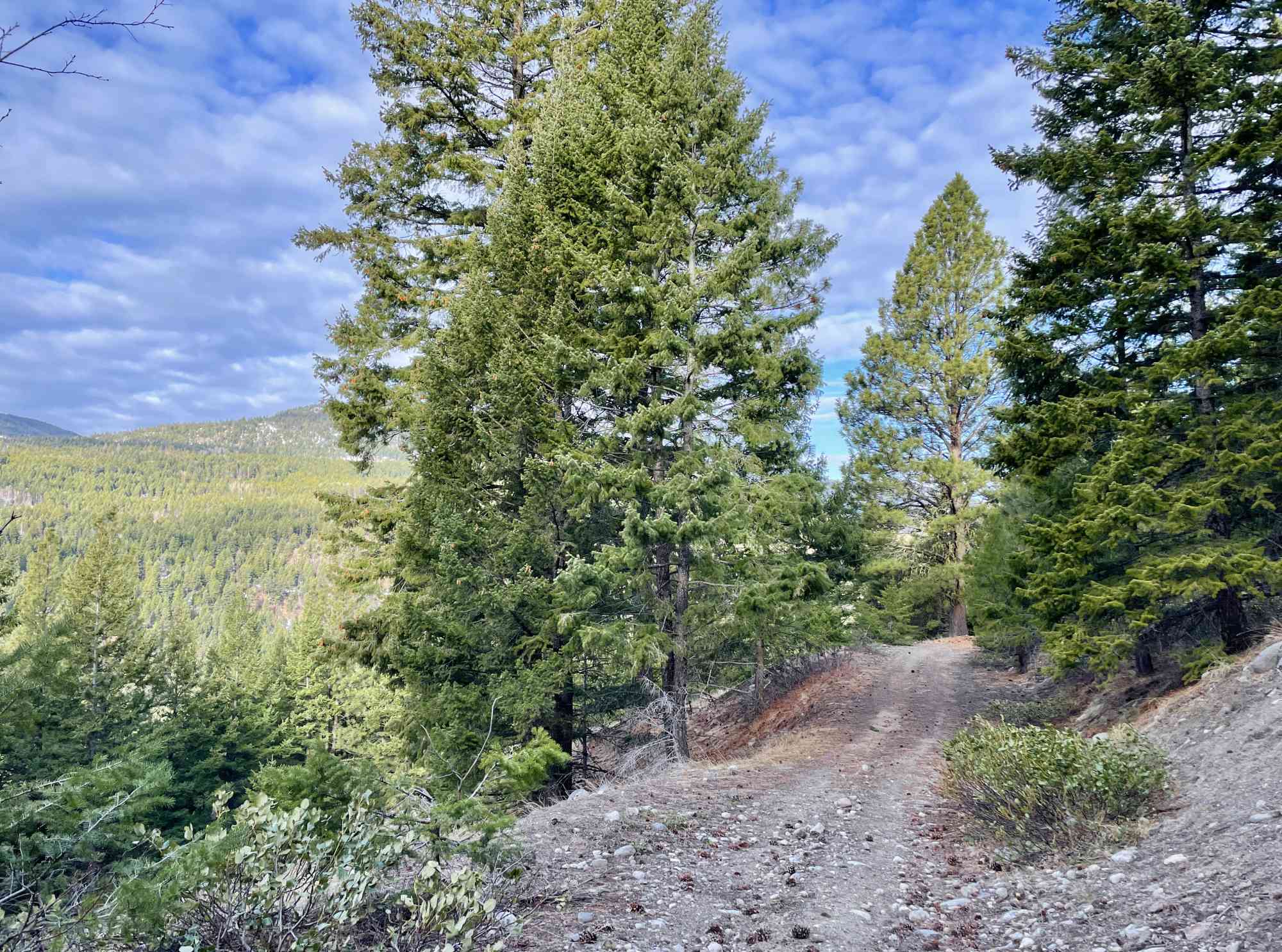
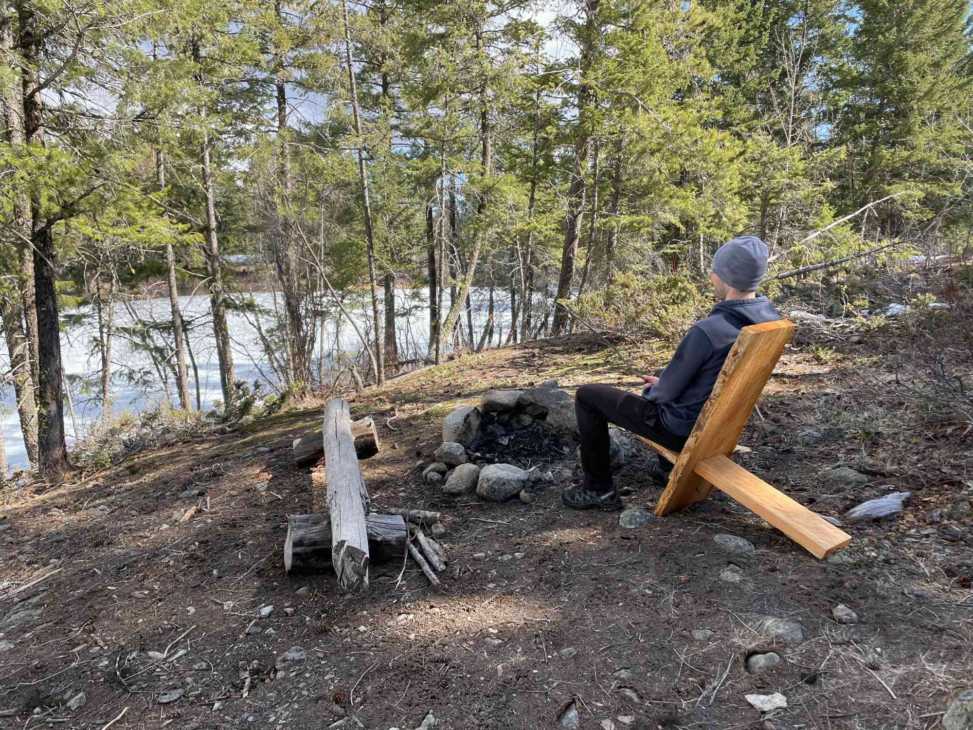
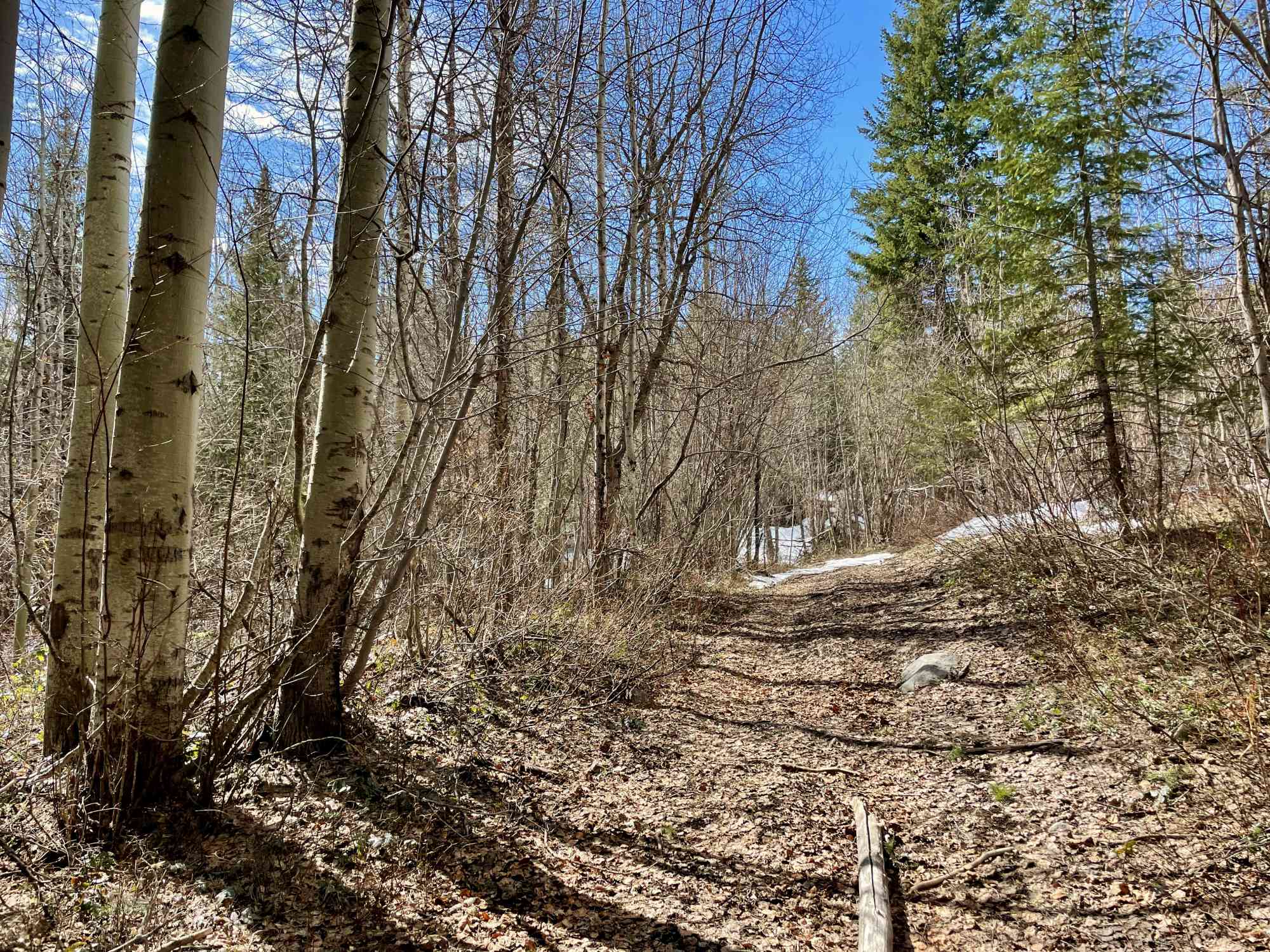
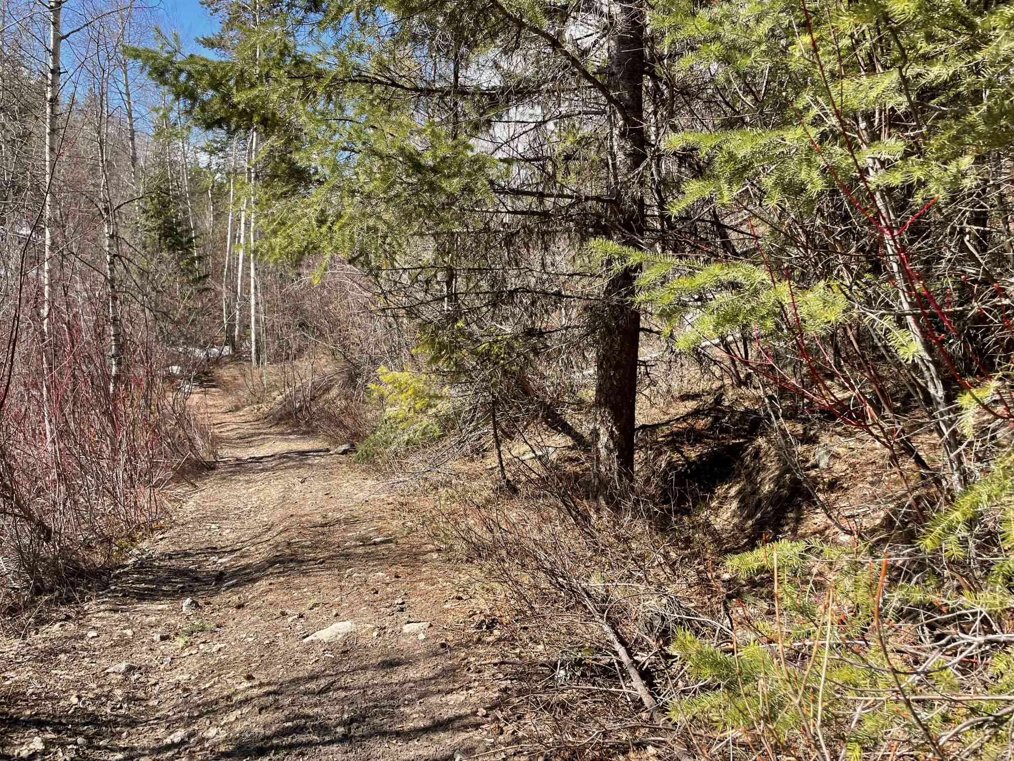
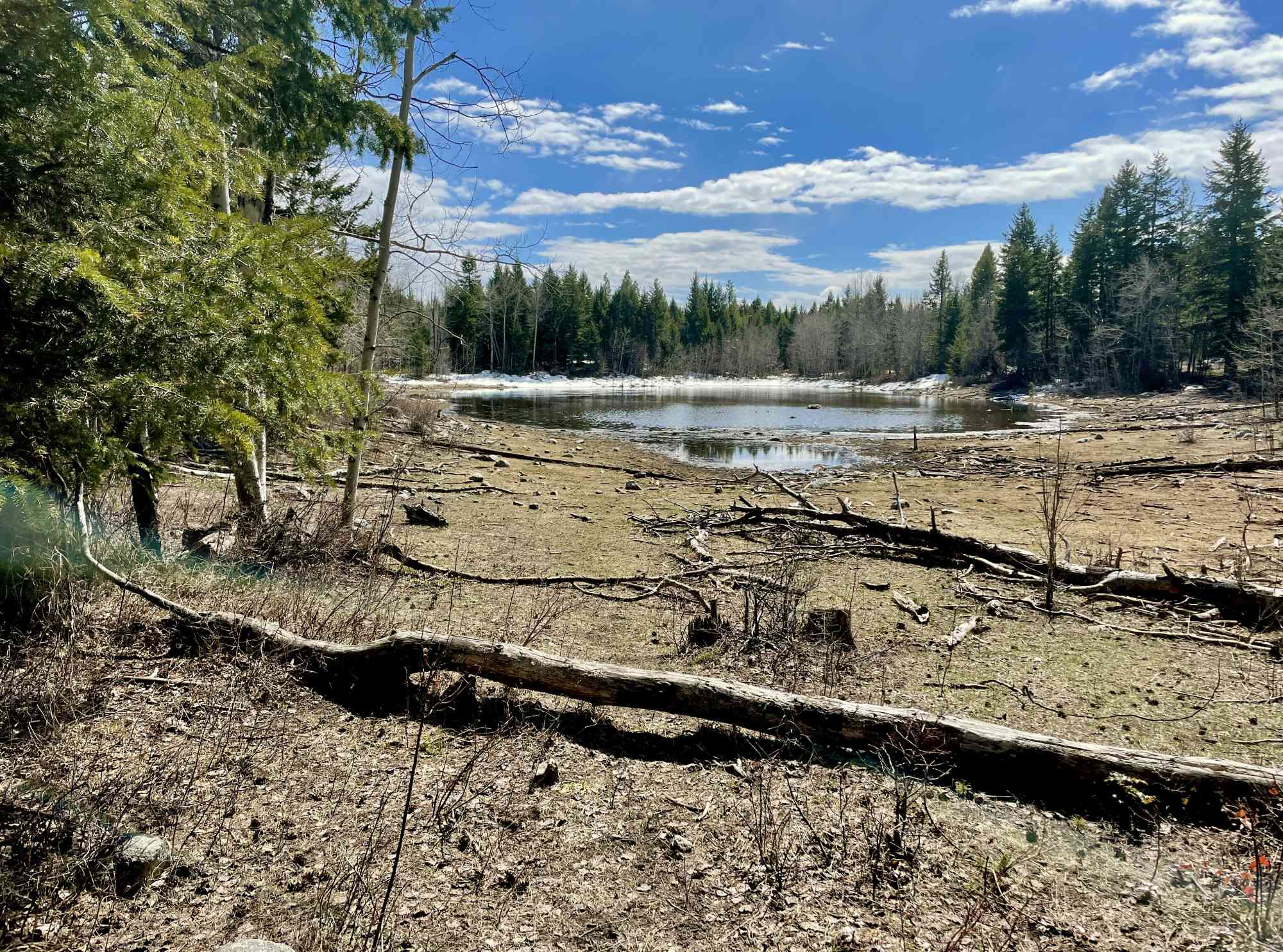
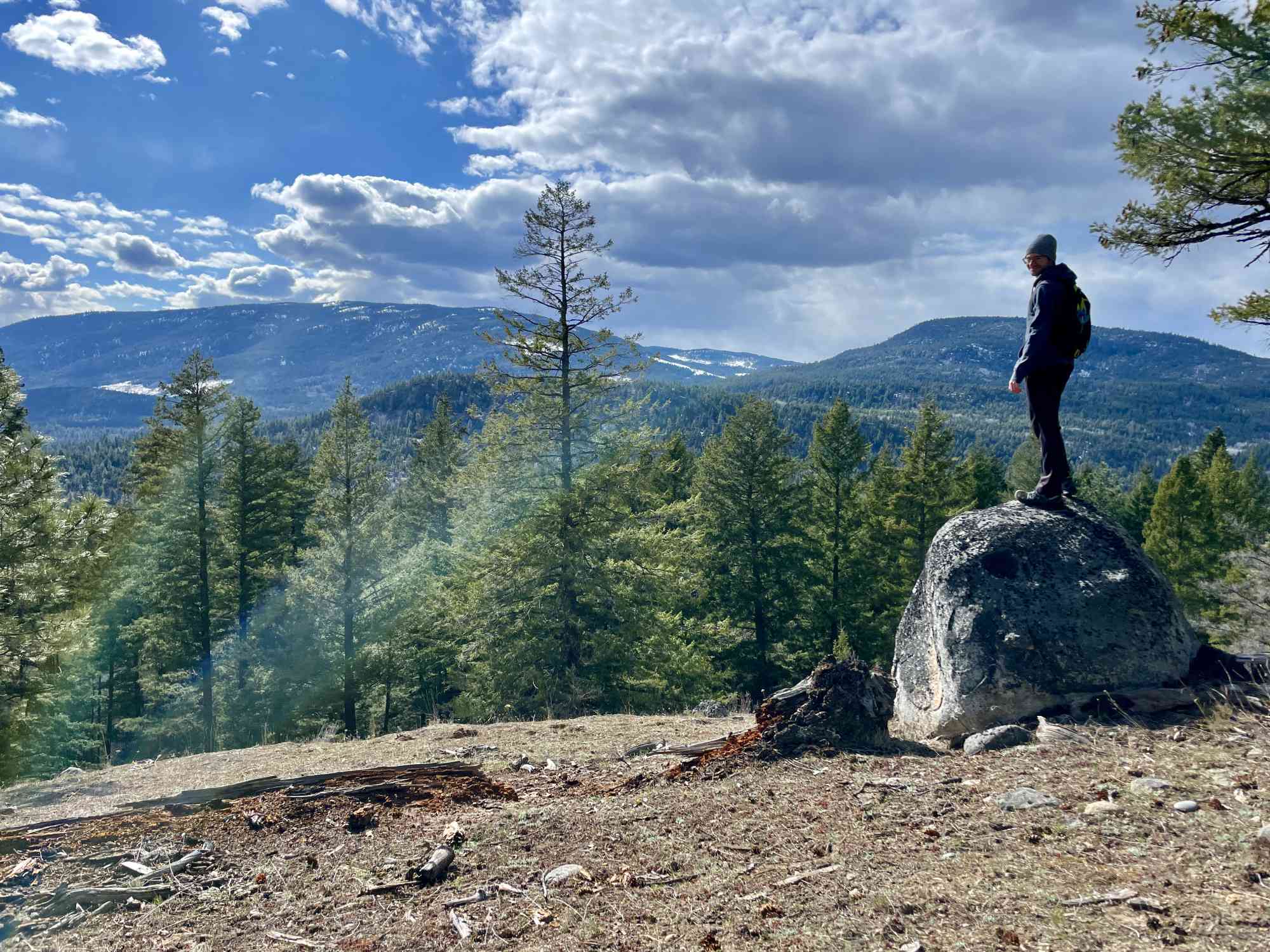
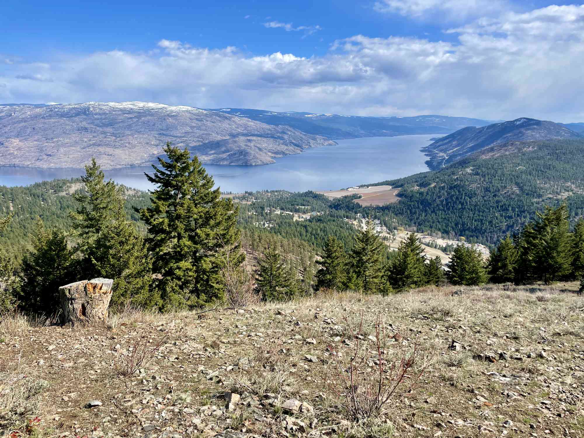
While most of the trails here simply meander through the forest, the Lookout Loop has a spectacular view of Okanagan Lake and the entire valley that shouldn't be missed. It's easy to spend a day here wandering the trails, passing by countless swamps, creeks, ponds, and lakes.
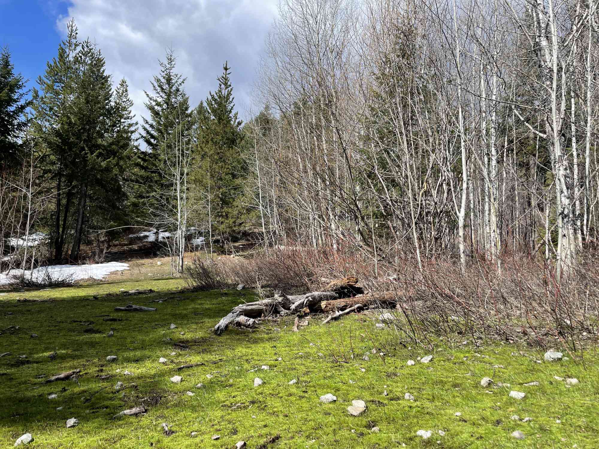
In early spring (April) be prepared for the trail to be flooded in numerous areas.
While most of the trails here simply meander through the forest, the Lookout Loop has a spectacular view of Okanagan Lake and the entire valley that shouldn't be missed. It's easy to spend a day here wandering the trails, passing by countless swamps, creeks, ponds, and lakes.
In early spring (April) be prepared for the trail to be flooded in numerous areas.
Route
Kids & Pets
Features
Address
Driving Time
From Peachland, approximate travel time by car is 11 min.
Notable GPS Co-ordinates
Detailed Directions
2) Follow for 5.4 km and the road renames to Brenda Mines Rd and becomes dirt.
3) Drive for an additional 3.7 km to the marked trailhead on the right side of the dirt road.
Google Directions

Duration Calculator
The metrics for this trail have been converted to round-trip formation for distance and elevation gain/descent if necessary.
Estimated Time:
-- hours
We have a downloadable GPS map for this trail!
Last Updated on Sunday, January 26, 2025
Need help using it? See our FAQ.Map Waypoints
GPS Notes
Leave a comment
You must Login to post a comment!