
Black Mountain (Hoodoos Loop)
Black Mountain (Hoodoos Loop)
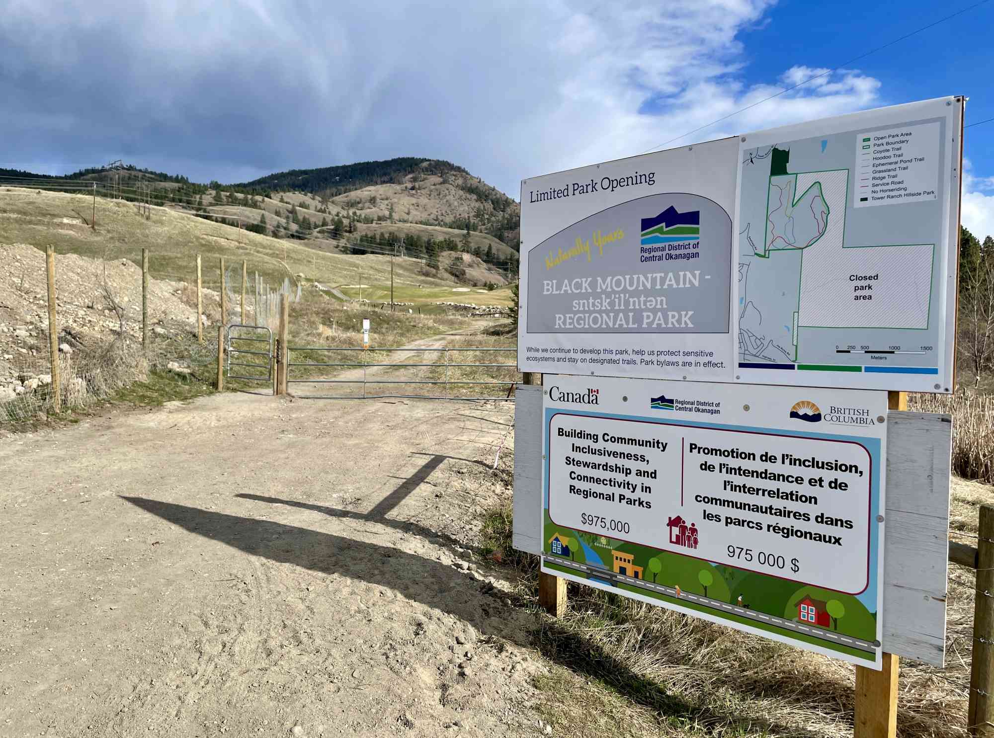
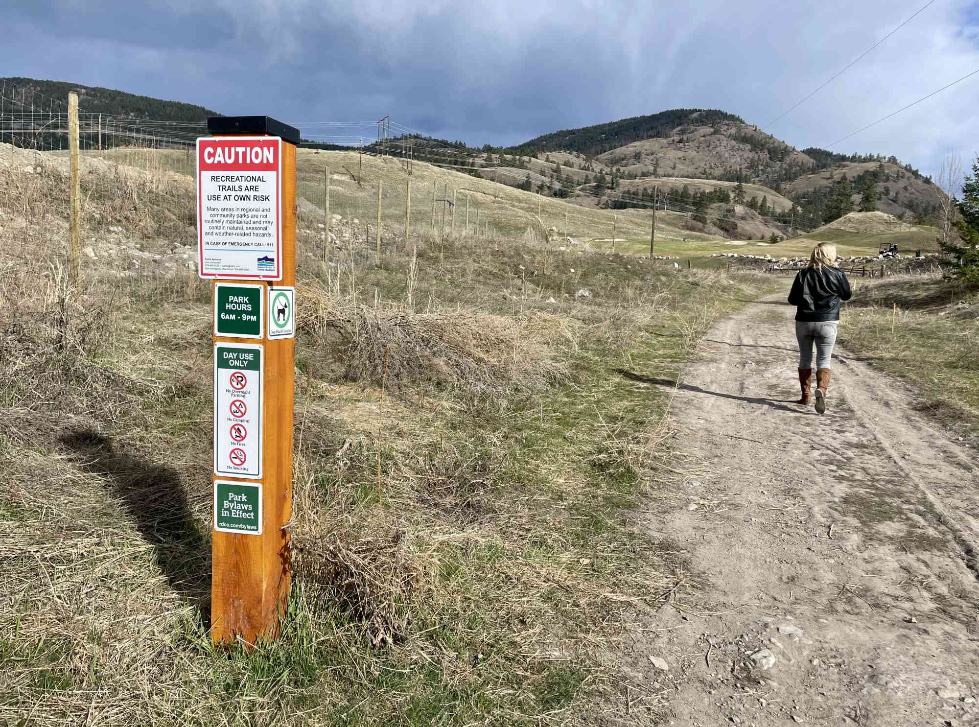
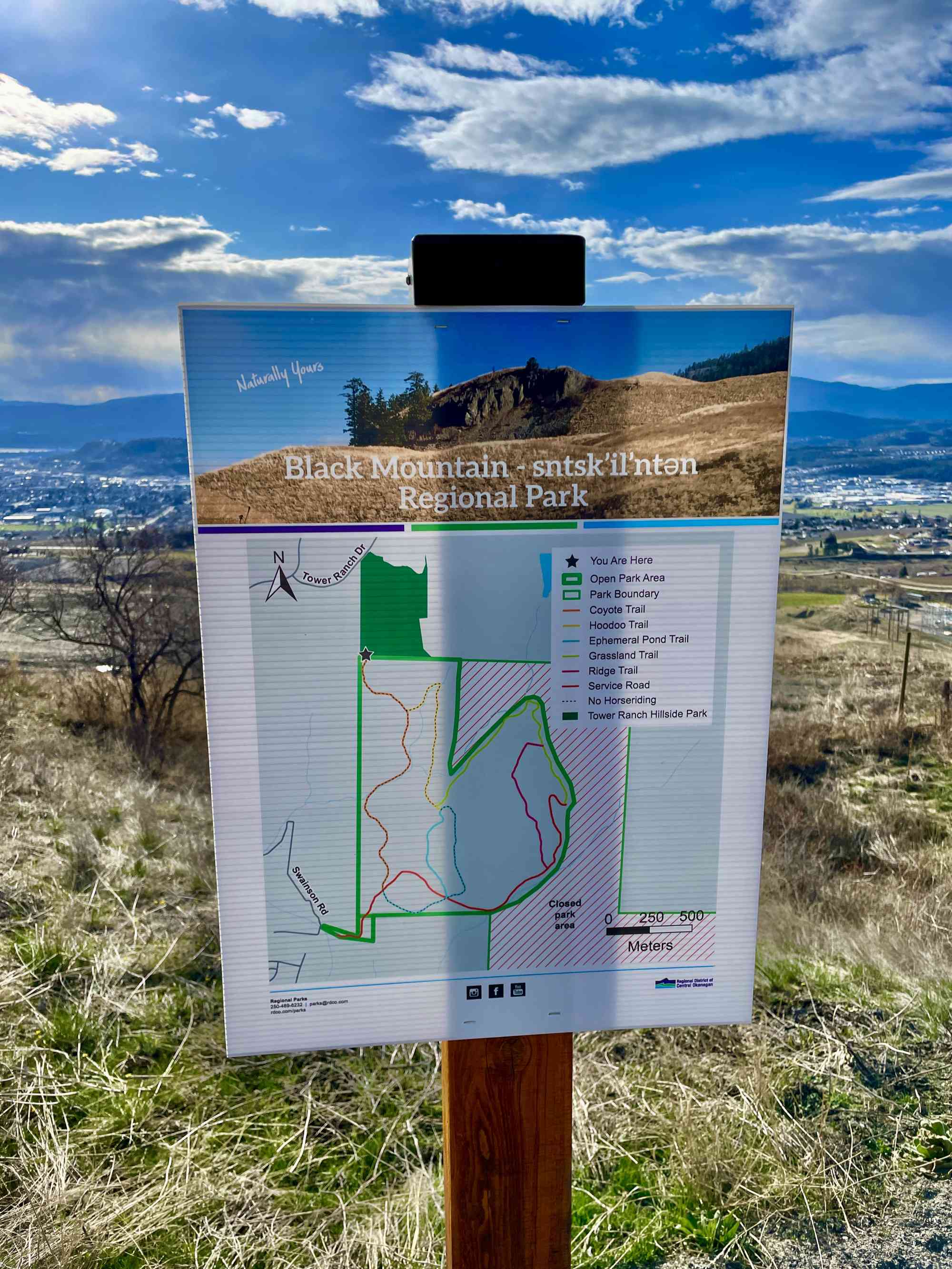
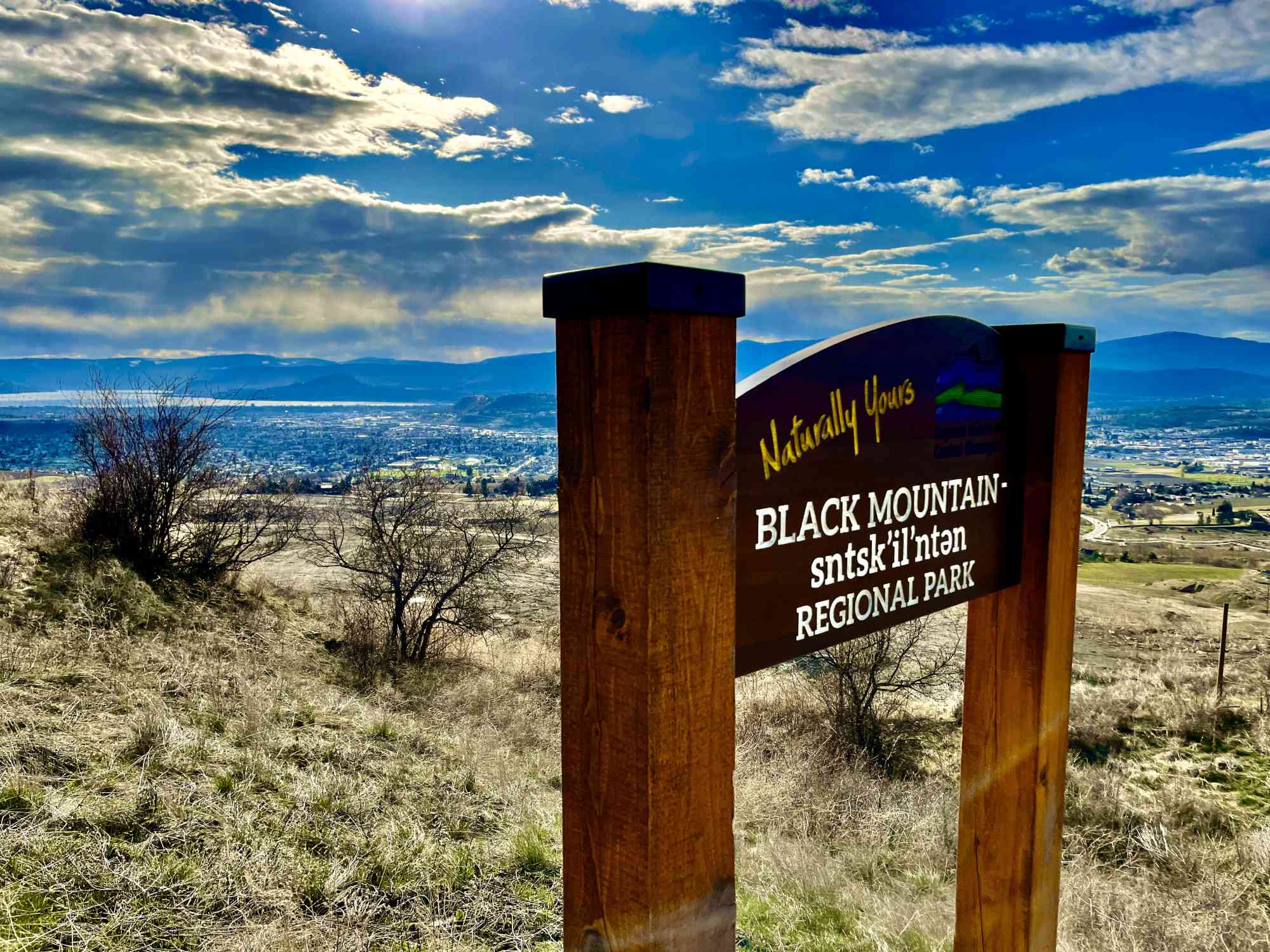
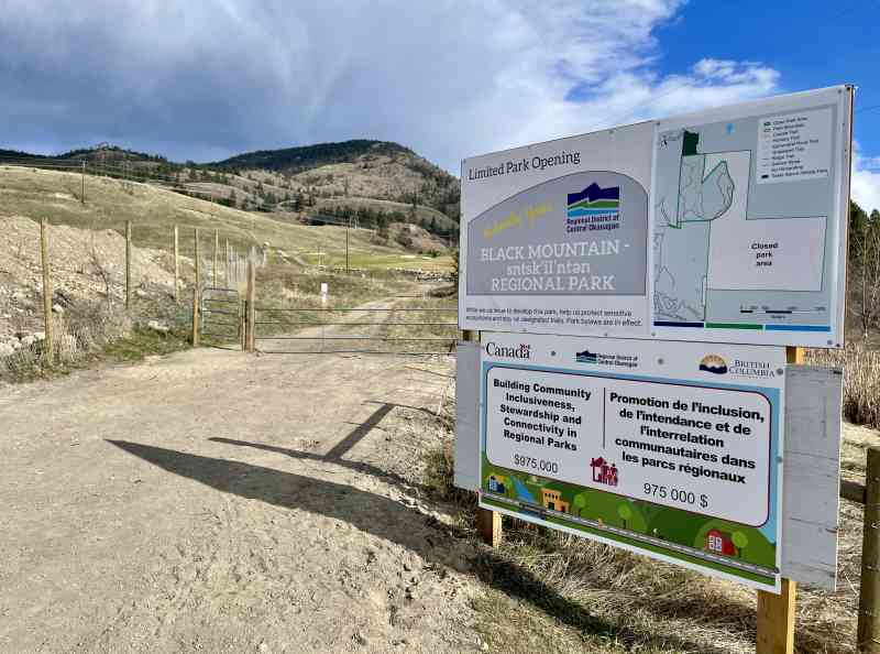
Black Mountain
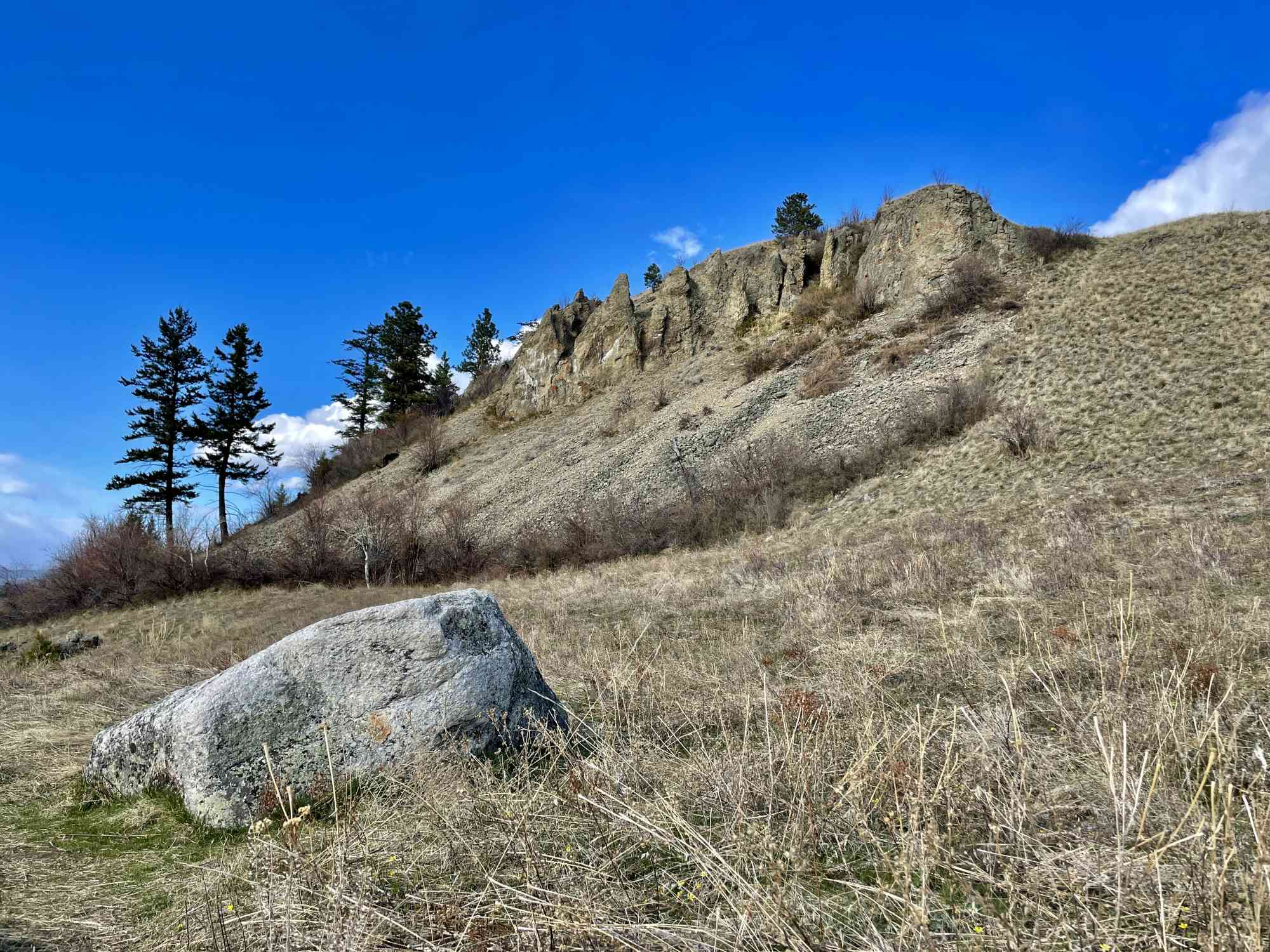
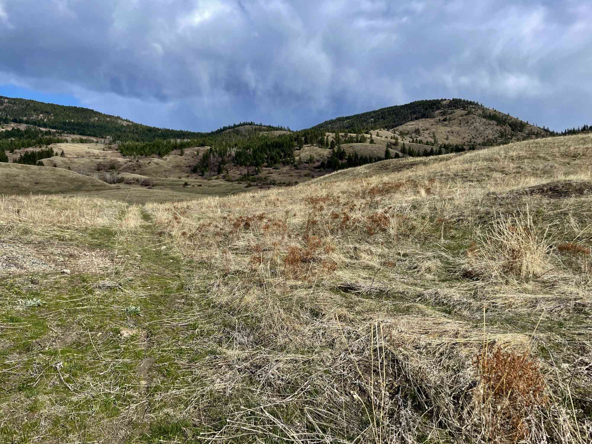
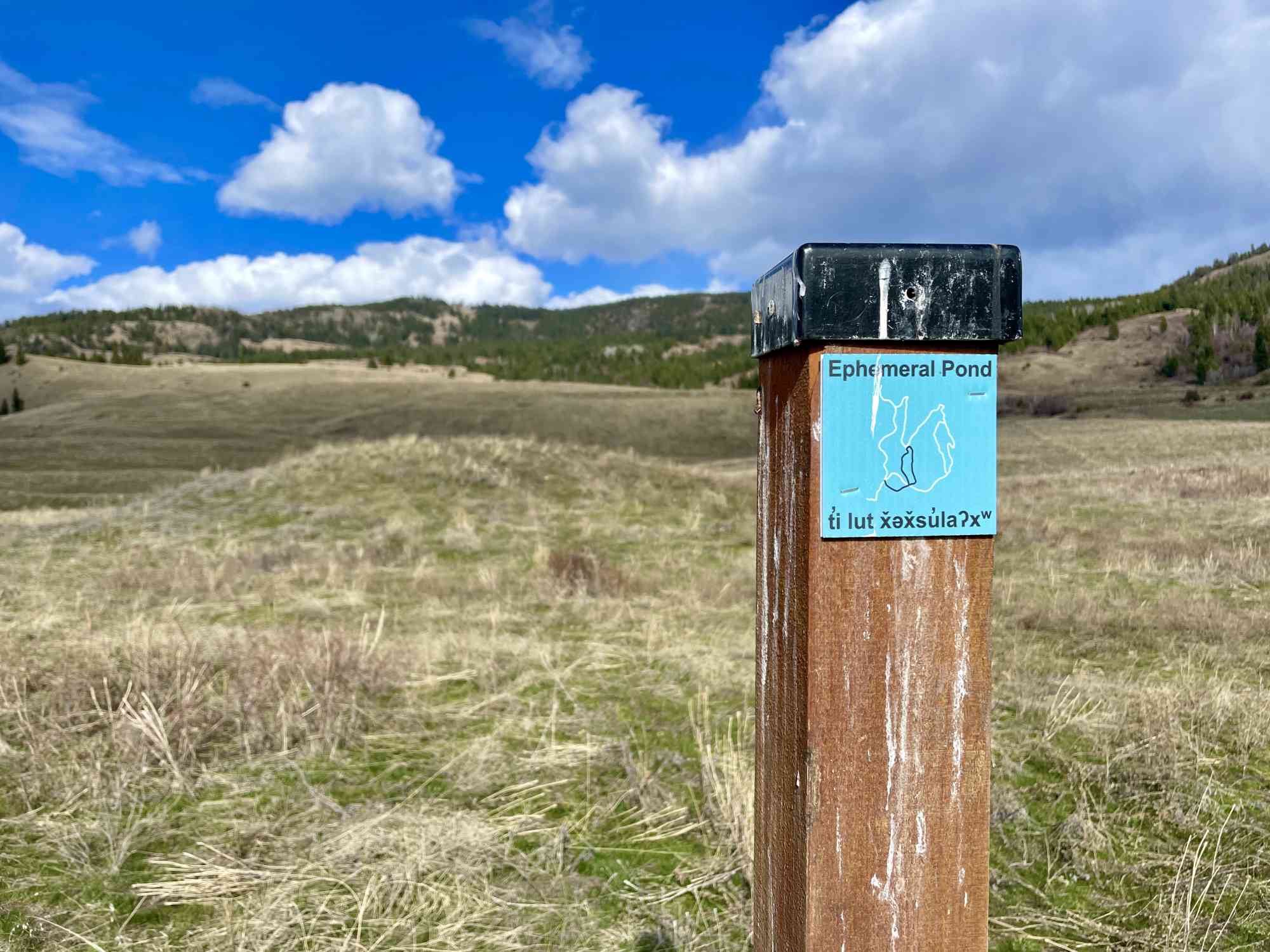
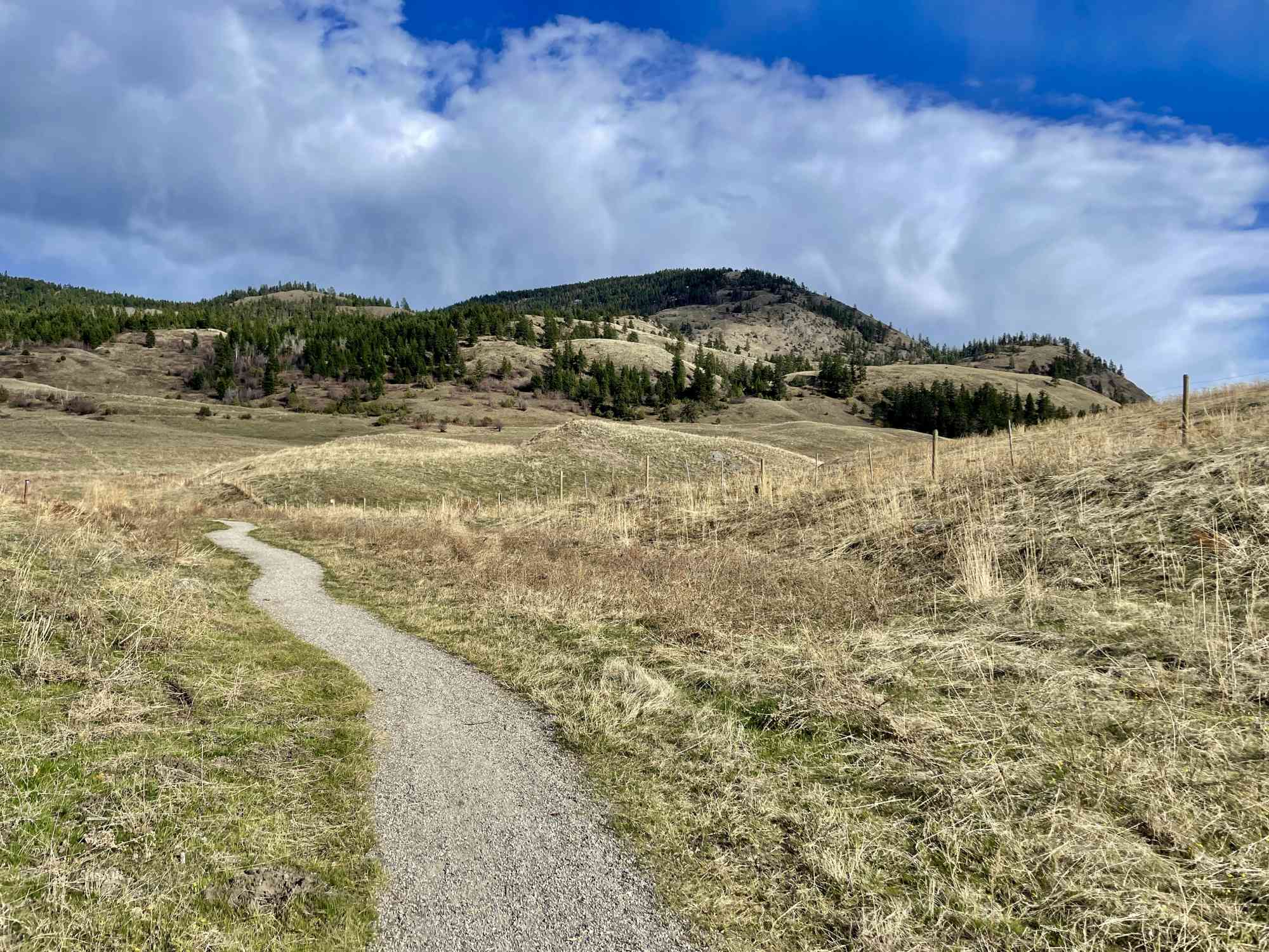
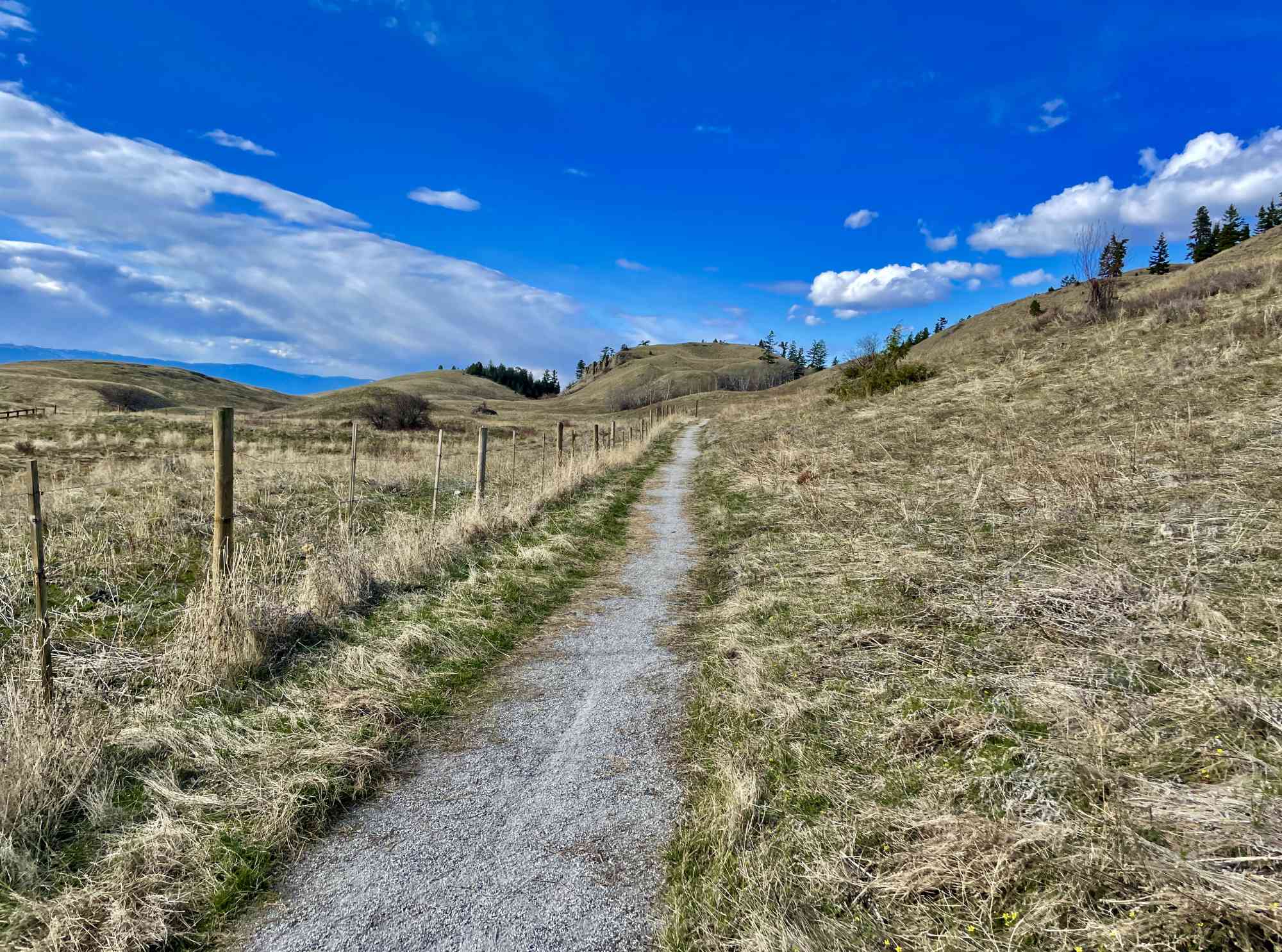
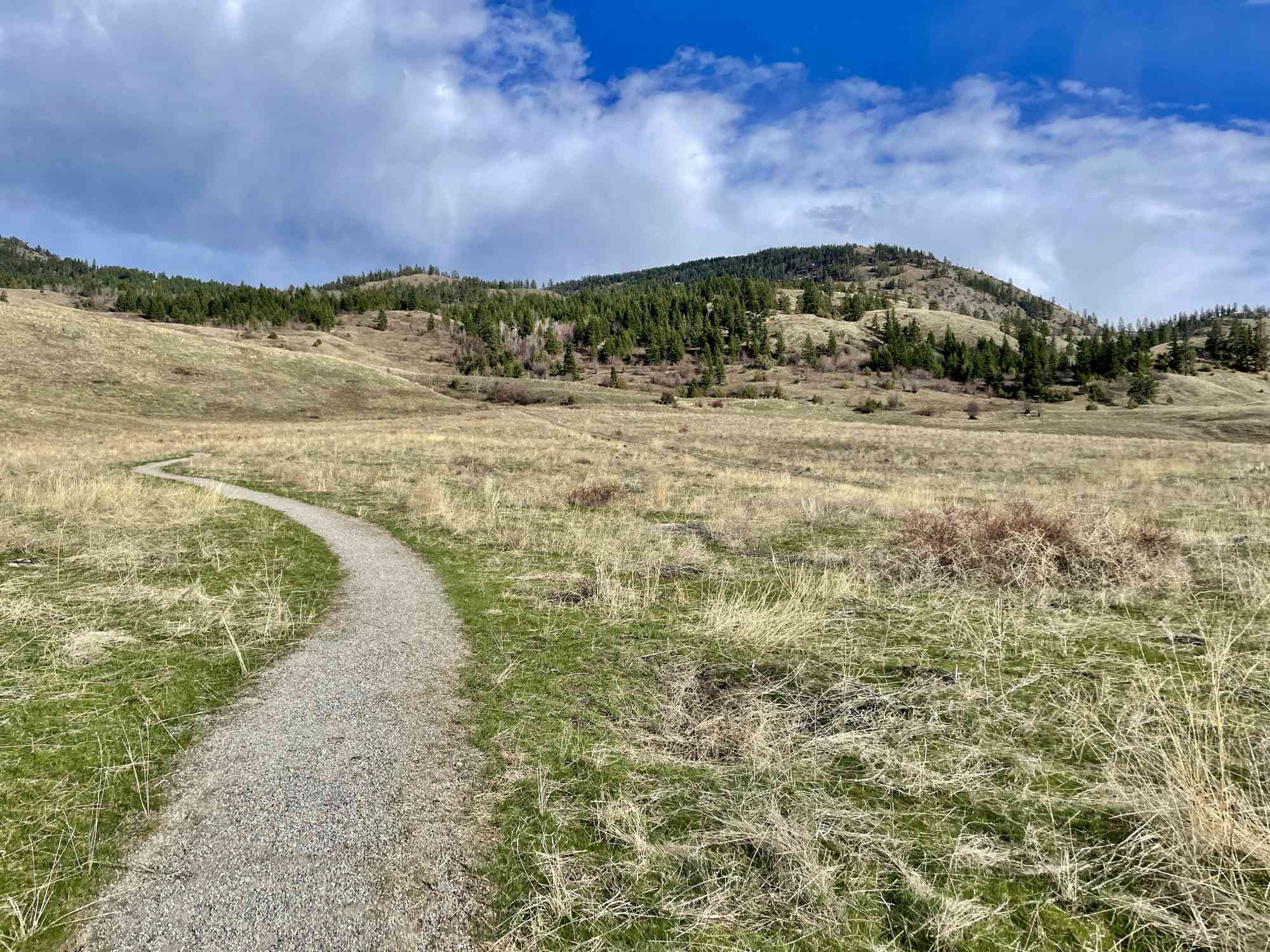
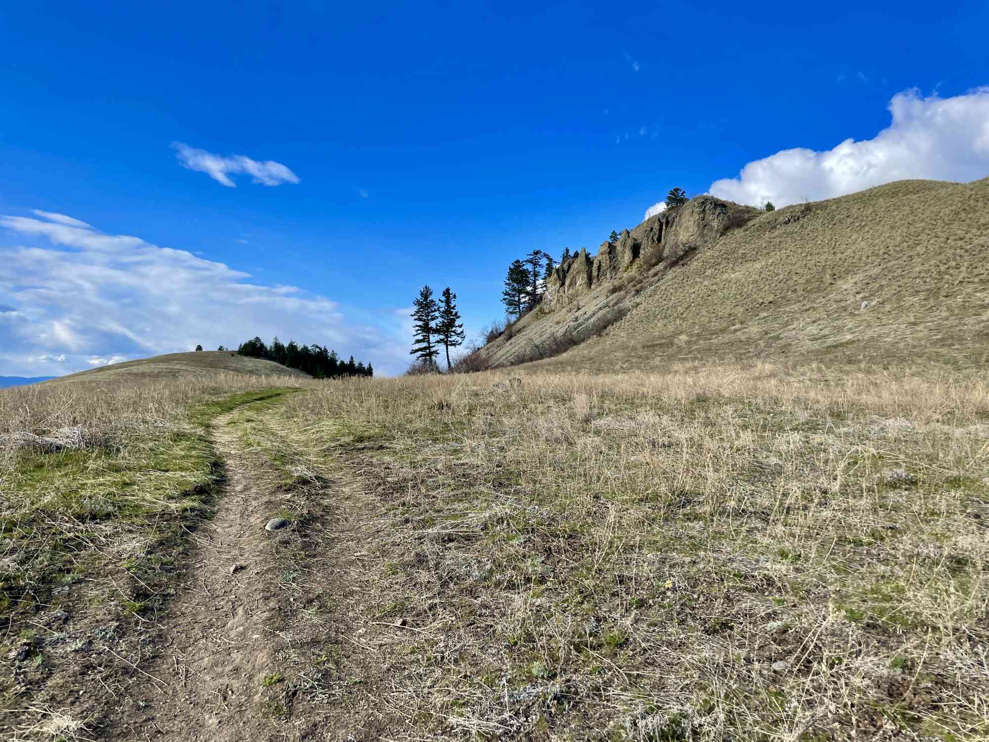
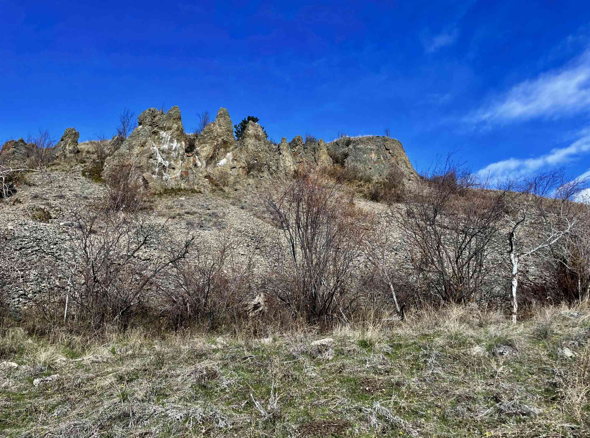
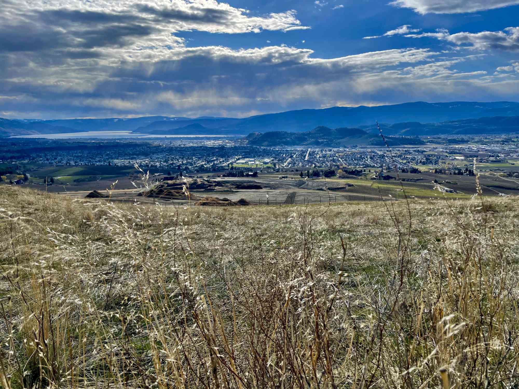
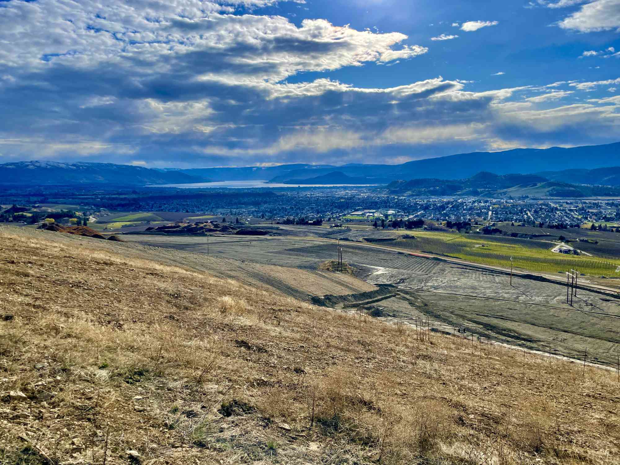
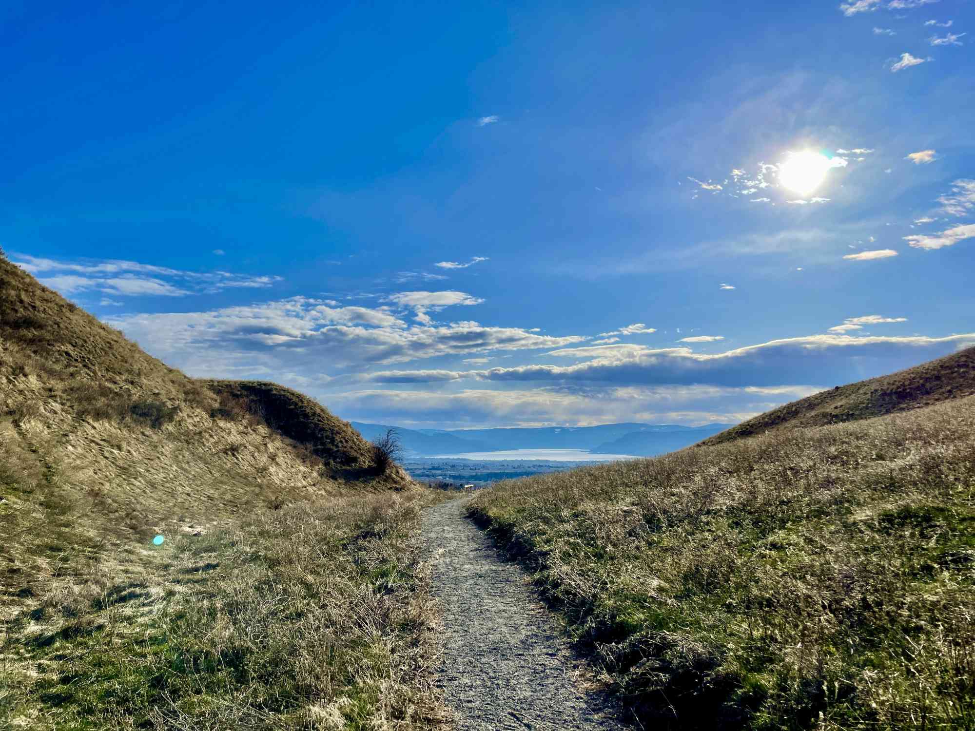
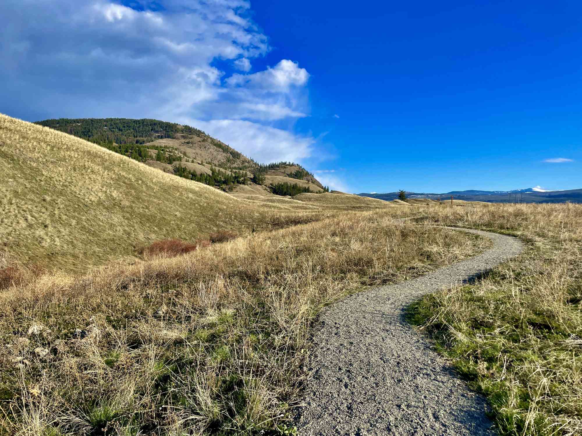
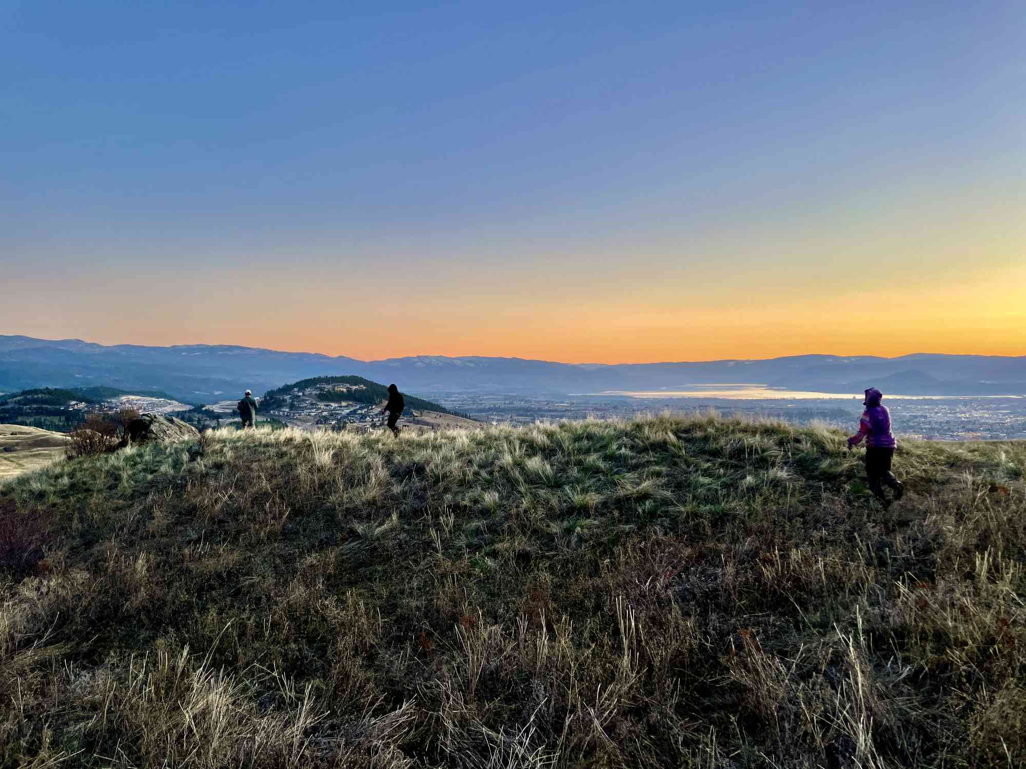
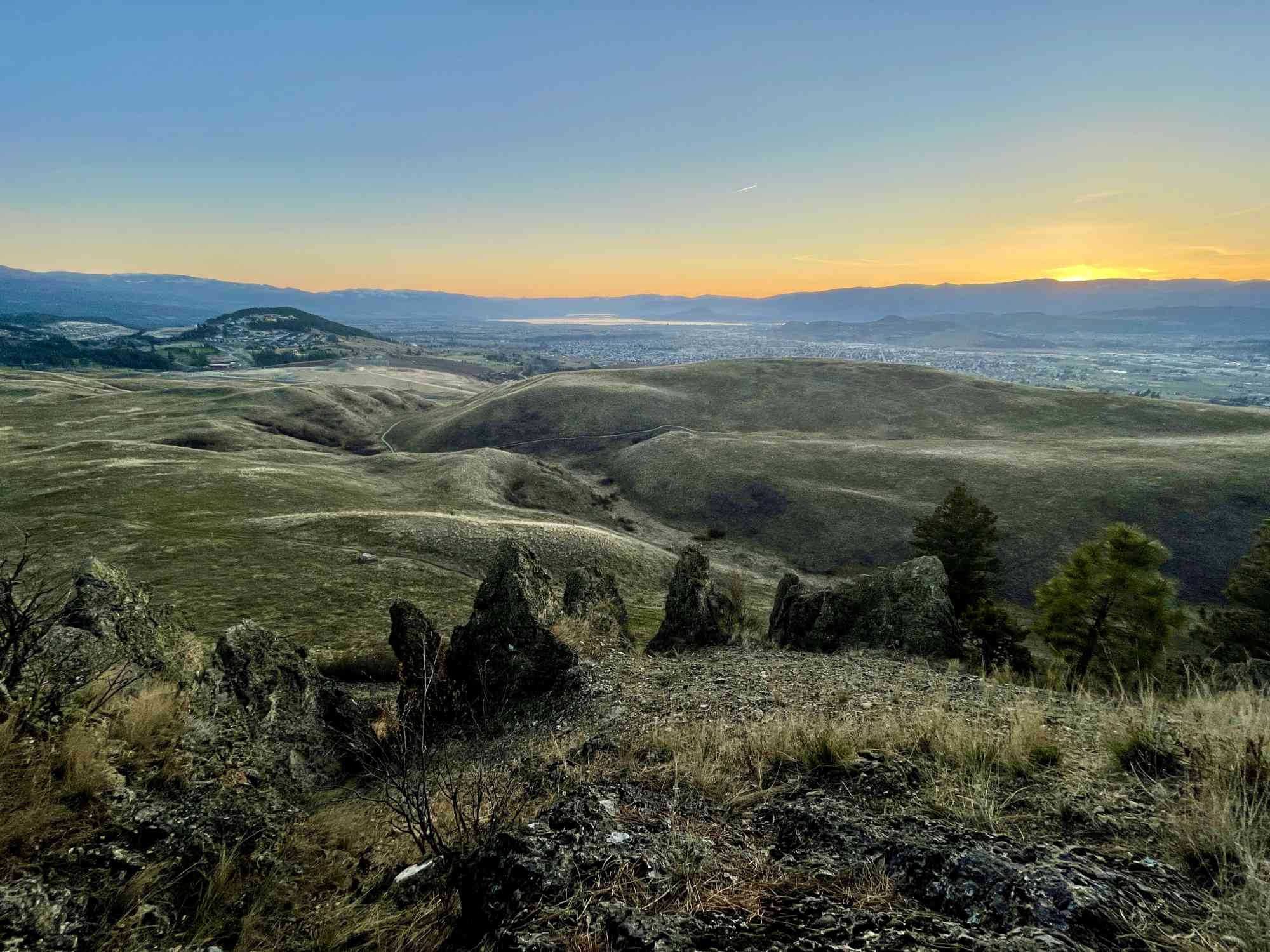
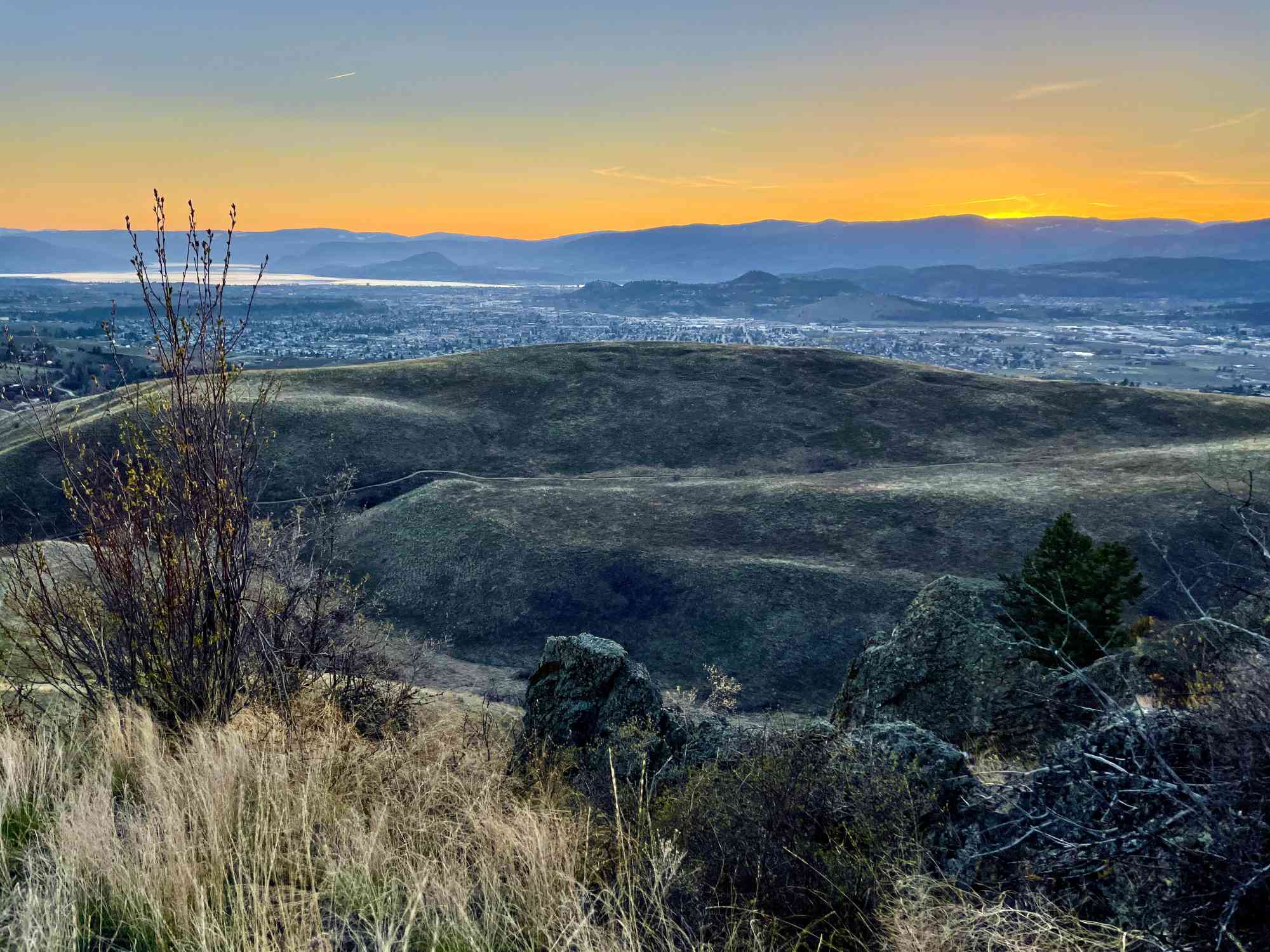
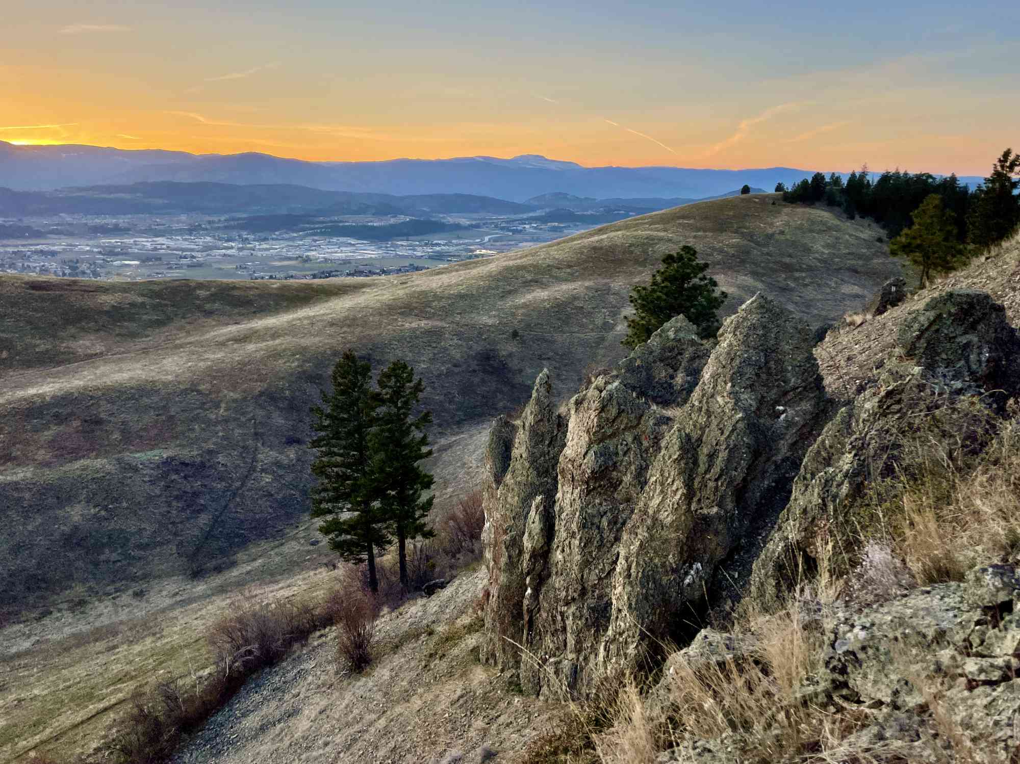
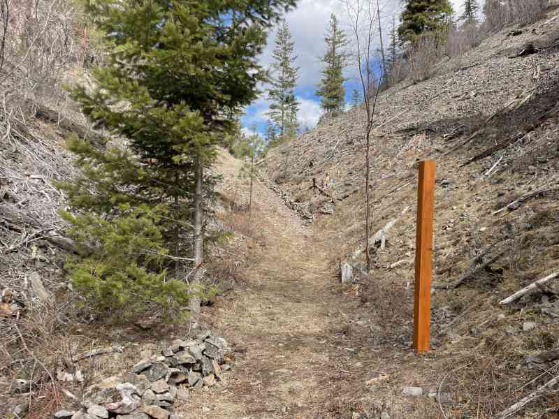
This park is still in development as of 2021 and some trail logging may change over time. Please check trail signage in person. The hoodoos loop, in particular, offers spectacular views of these unique rock formations, the rolling grasslands, and then a blissful panorama over all of Kelowna.
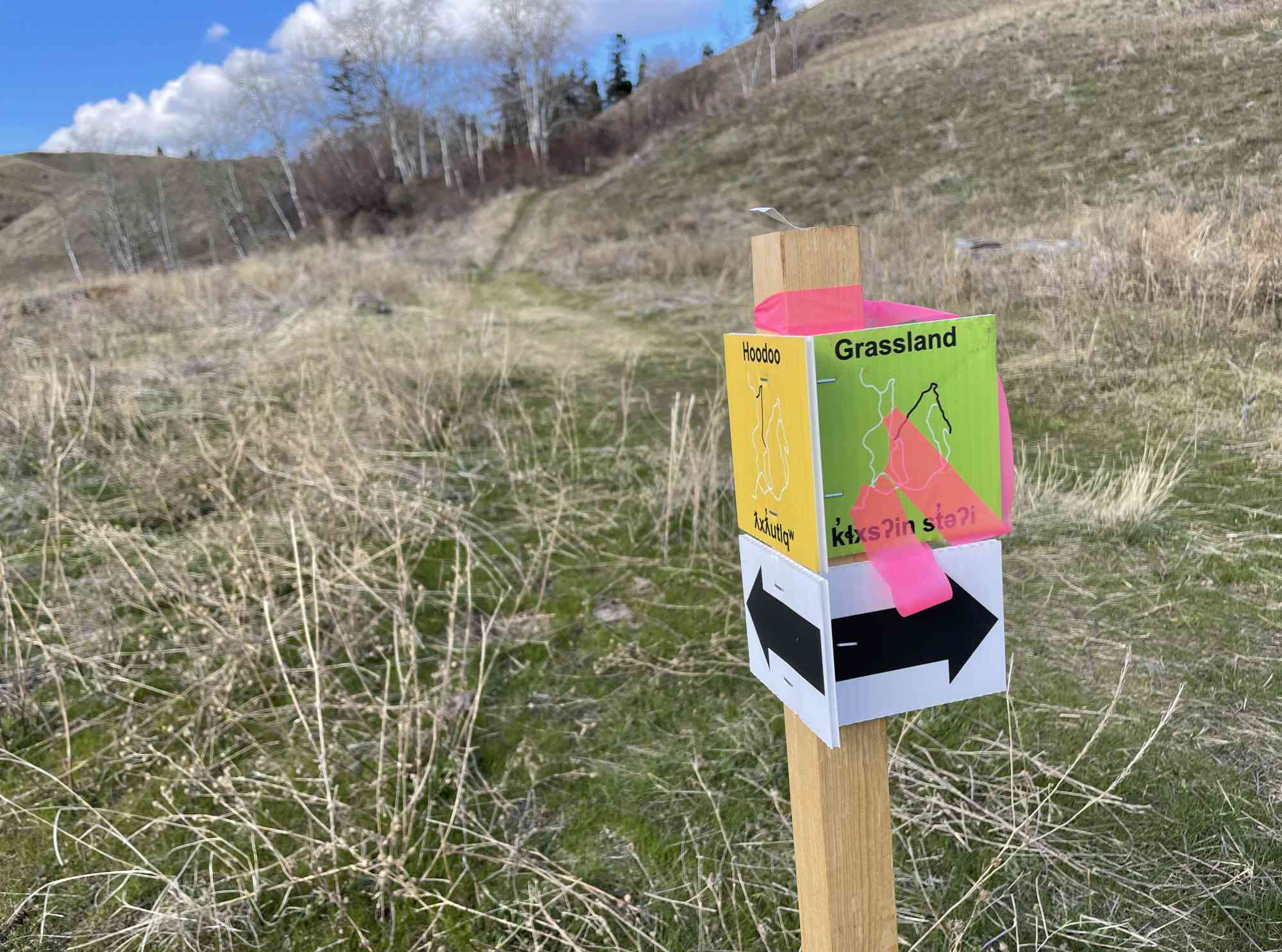

Route
Kids & Pets
Features
Address
Driving Time
From Kelowna, BC, approximate travel time by car is 19 min.
Notable GPS Co-ordinates
Detailed Directions
1) Follow Highway 97 as if going to Vernon
2) Turn RIGHT onto Highway 33 through Rutland
3) Nearing the end of Rutland, turn LEFT onto Muir Rd
4) Take an IMMEDIATE RIGHT onto McKenzie Rd
5) Shortly after, take a right to STAY ON McKenzie Rd.
6) Turn RIGHT onto Swainson Rd and park at the designated park parking lot.
----
Alternatively
1) Follow Highway 97 as if going to Vernon
2) Turn RIGHT on McCurdy
3) Follow until the new development and turn RIGHT onto Tower Ranch Dr
4) Turn almost immediately onto Summer Crescent at the official park entry.
Google Directions
Duration Calculator
The metrics for this trail have been converted to round-trip formation for distance and elevation gain/descent if necessary.
We have a downloadable GPS map for this trail!
Last Updated on Sunday, January 26, 2025
Need help using it? See our FAQ.
Lovely hike, very exposed so dont forget your sunscreen!
Sunday, June 22, 2025 at 6:27 PMLeave a comment
You must Login to post a comment!