
Black Mountain (Pyman Rd Route)
Black Mountain (Pyman Rd Route)
Black Mountain
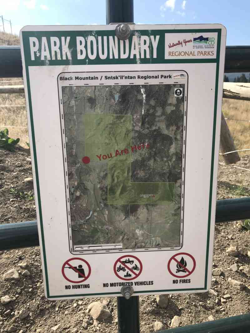
WARNING: As of May 2015, the hike up the roadway has been closed to the public due to a hiker violating the private property and getting attacked by a bull! Hikers are encouraged to respect the official park boundaries, and stay off private property. The official entrance is now off Joe Rich Rd and Swainson Rd and follows a different route. This article is only online for archival reasons.
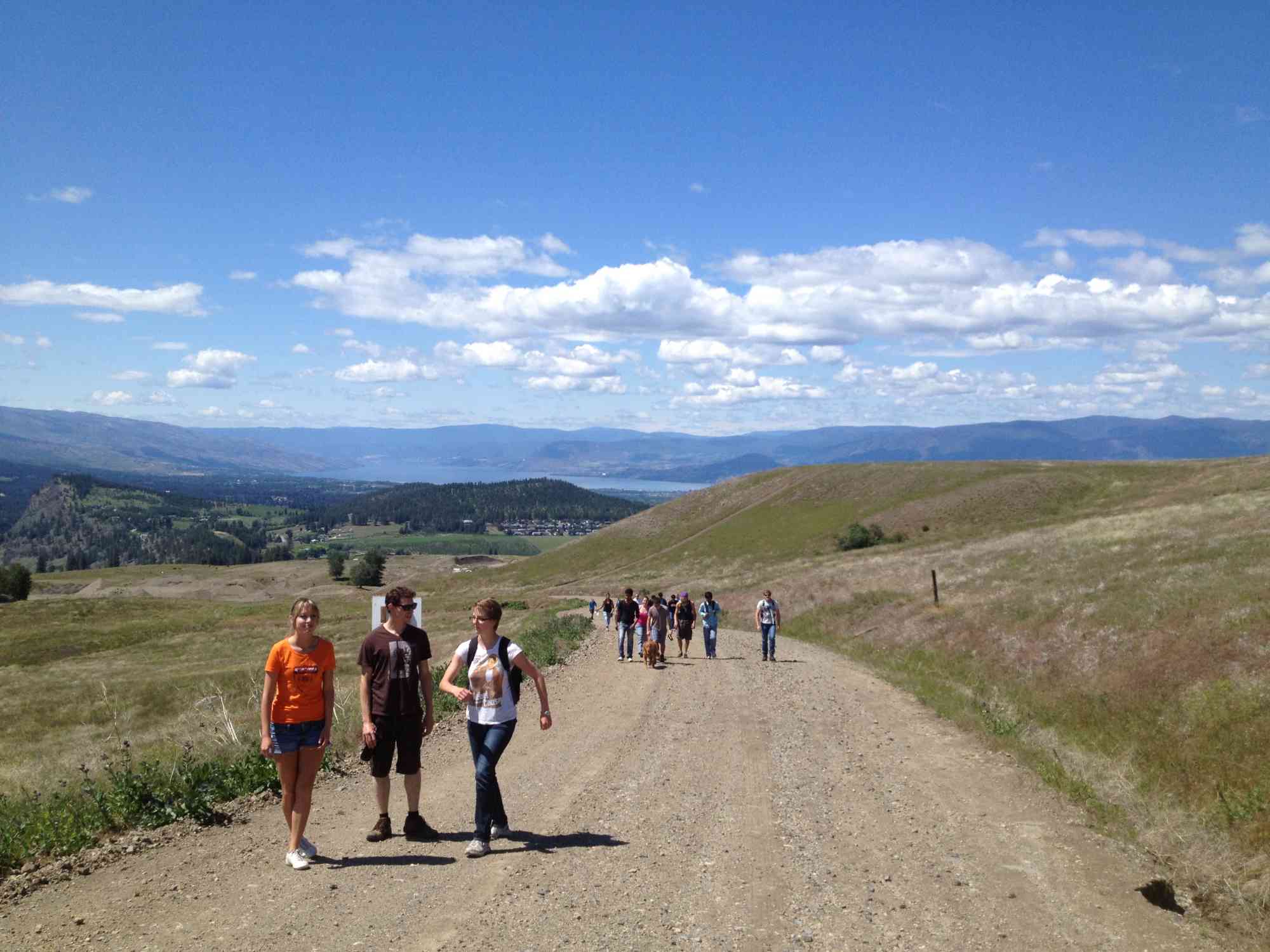
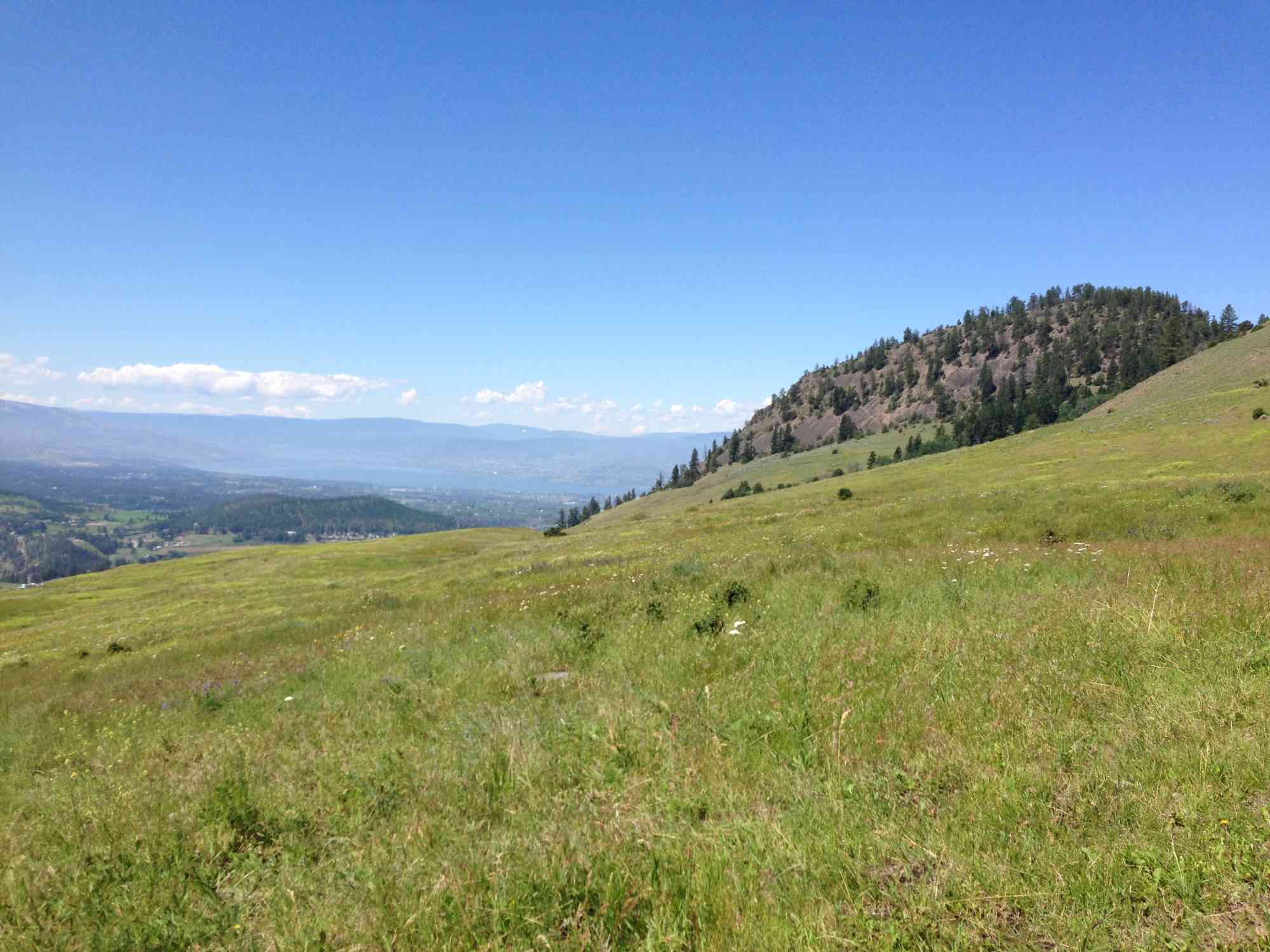
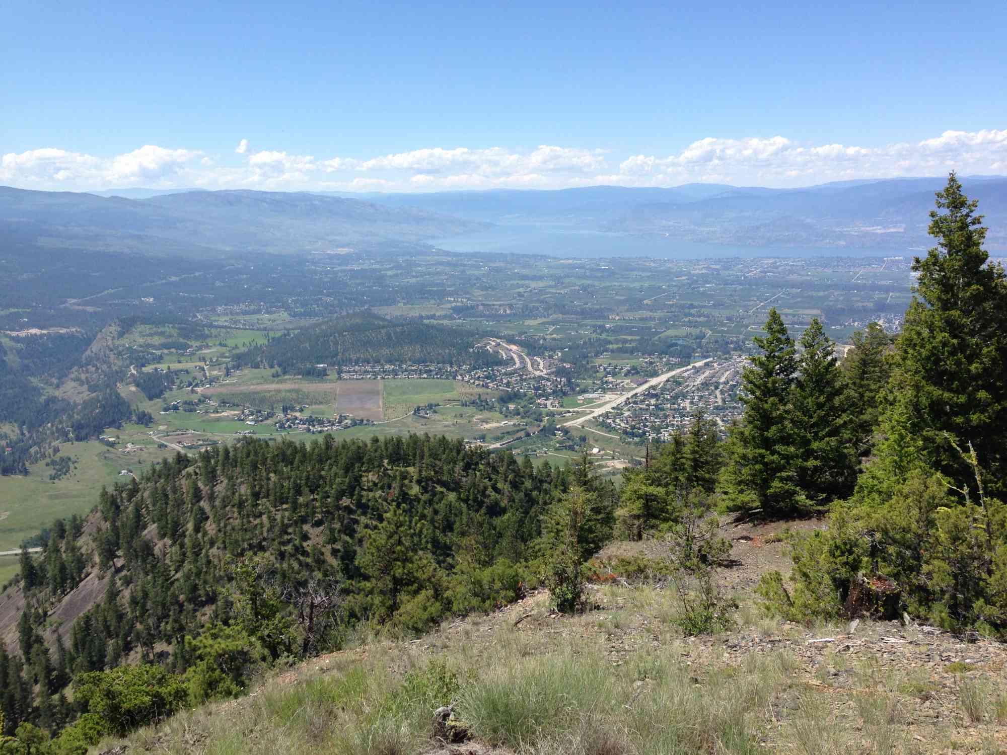
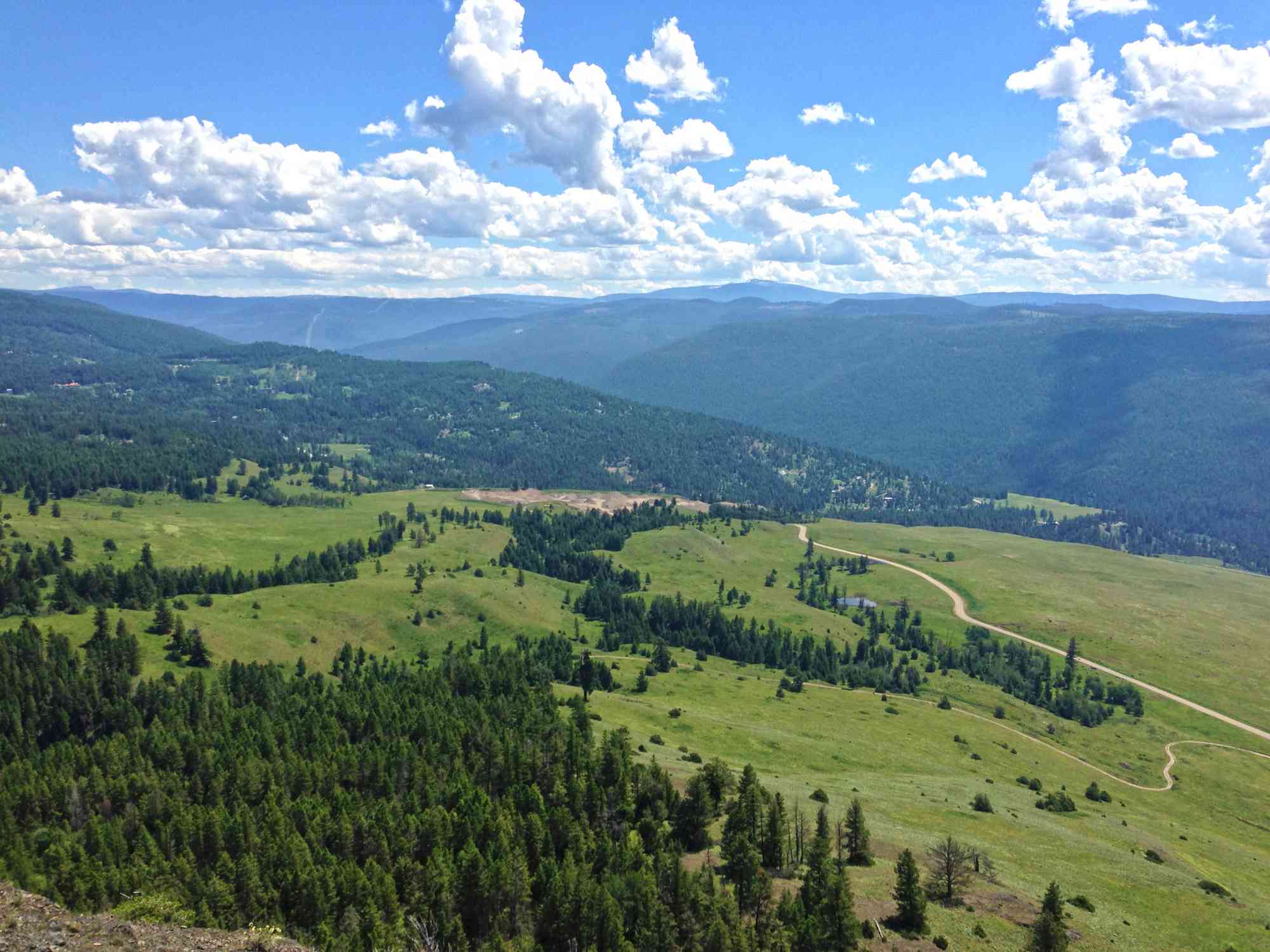
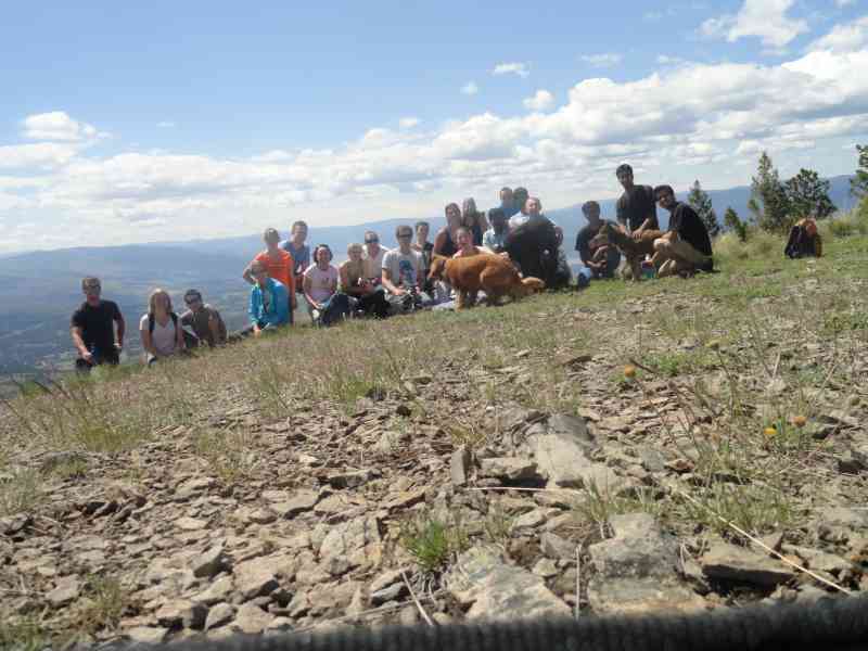
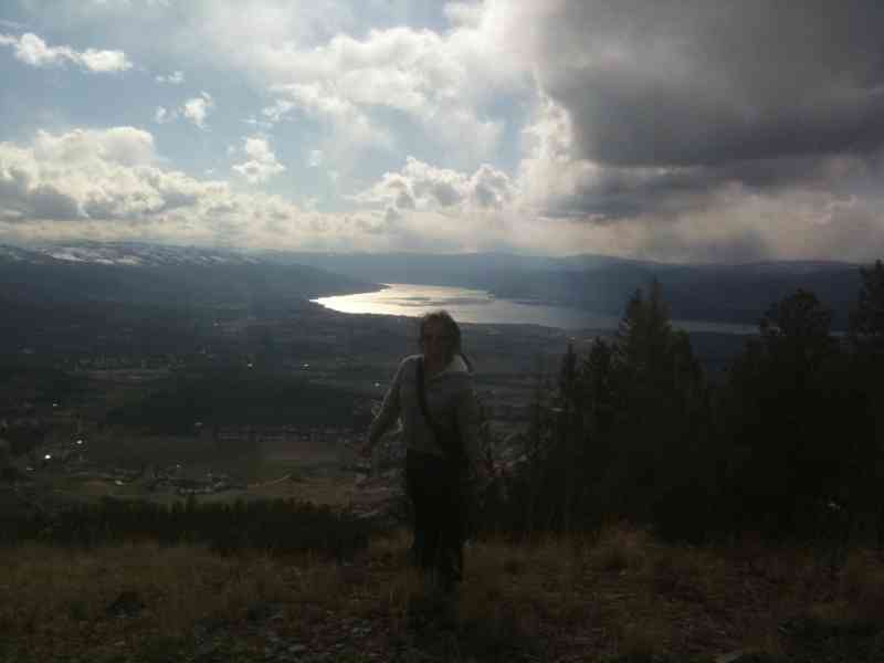
A panoramic view includes sights of ski hills Big White and Silver Star along with Terrace and Okanagan Mountain.
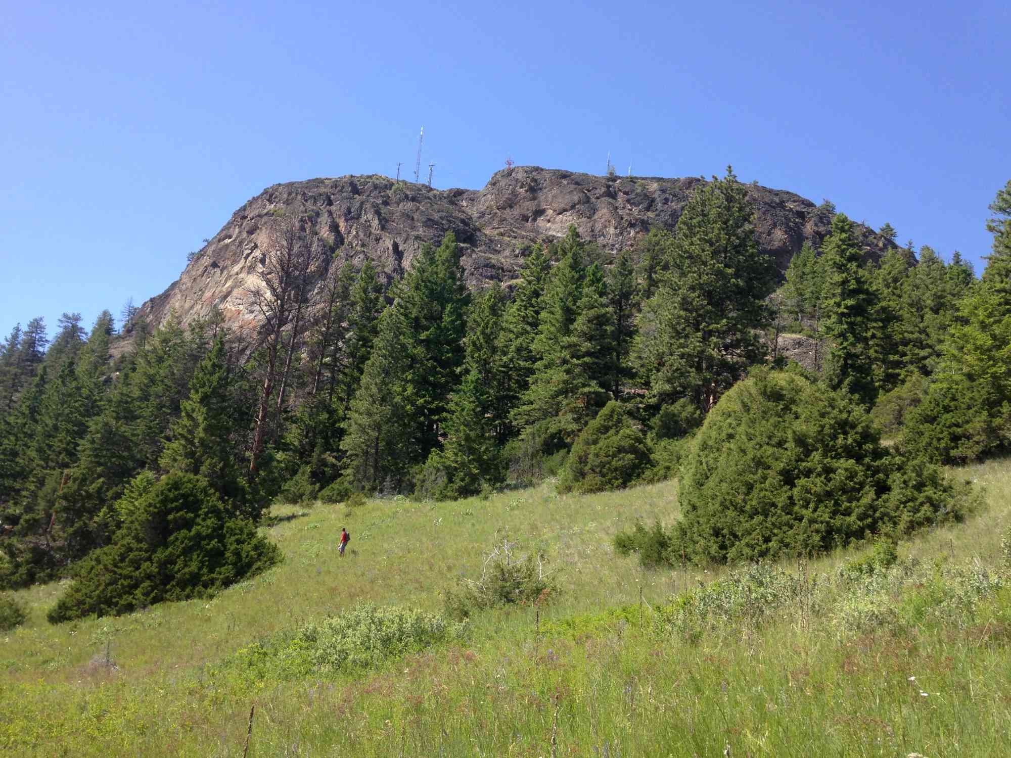
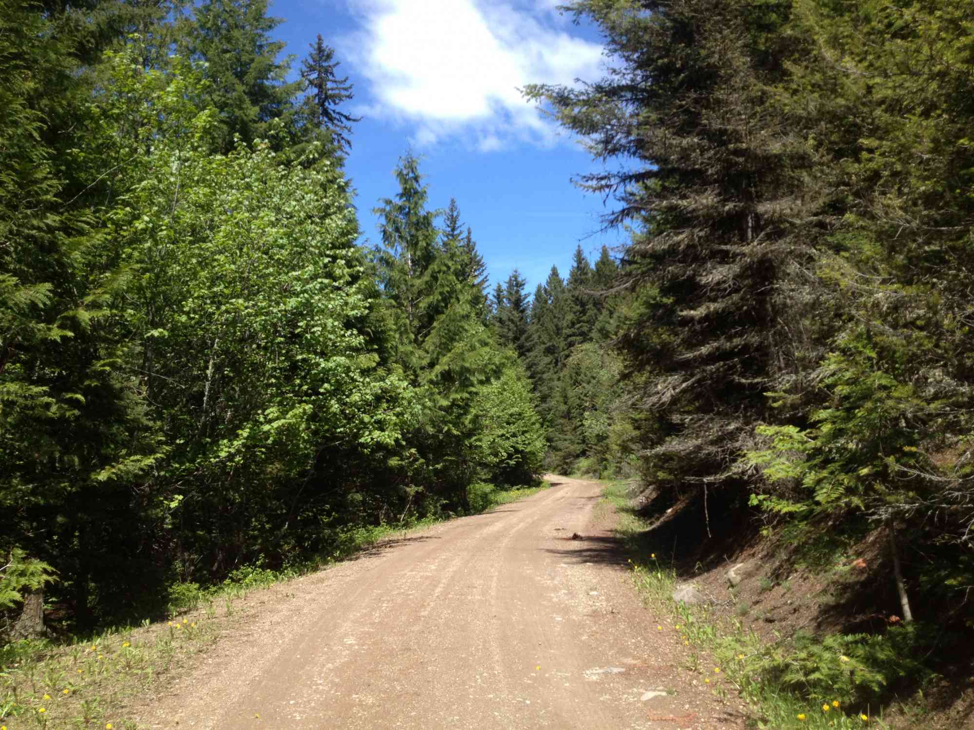
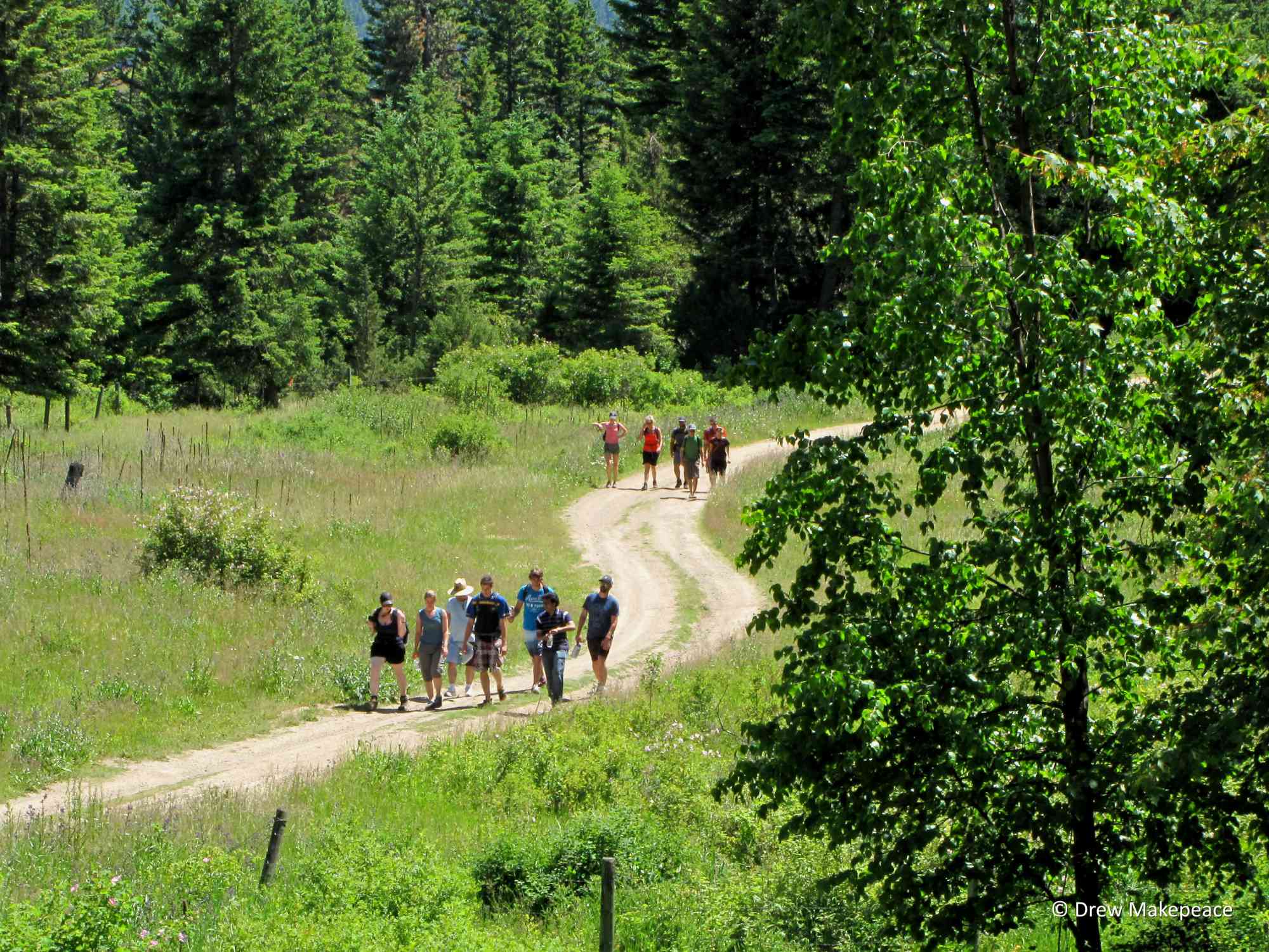
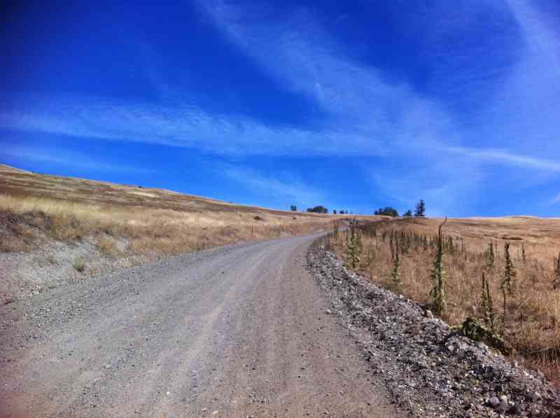
Approximately 11 km, the hike relies on an old dirt and gravel road which leads to communication towers at the top of the mountain. The hike begins at Pyman Road and ends at an elevation of 1286m; prepare for cooler air, especially in the winter as snow levels can be high.
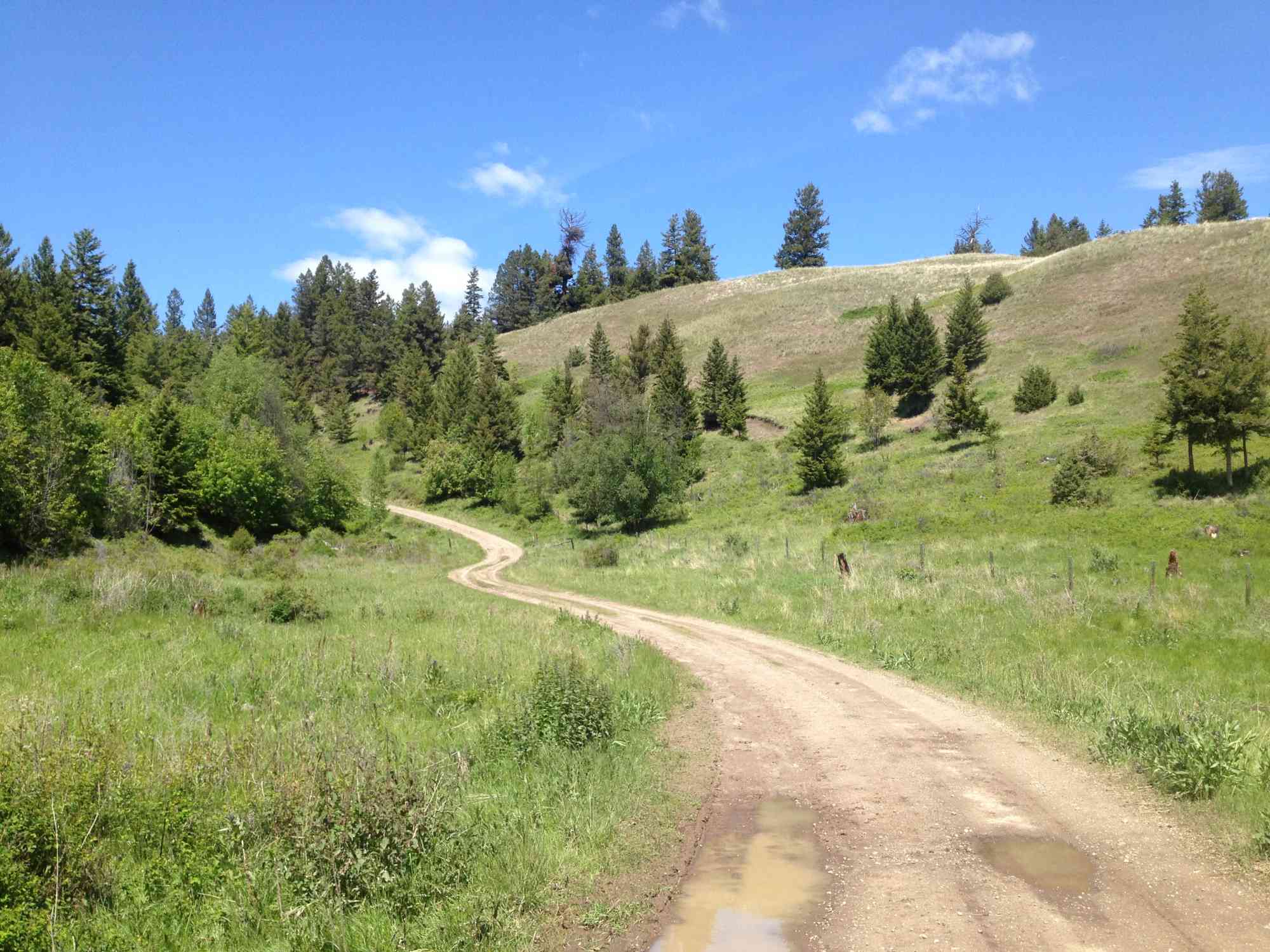
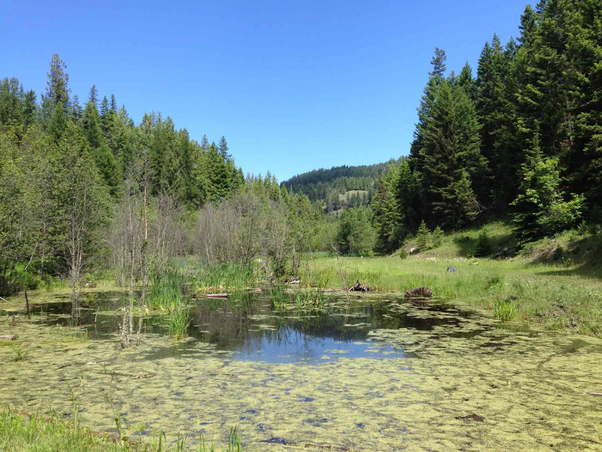
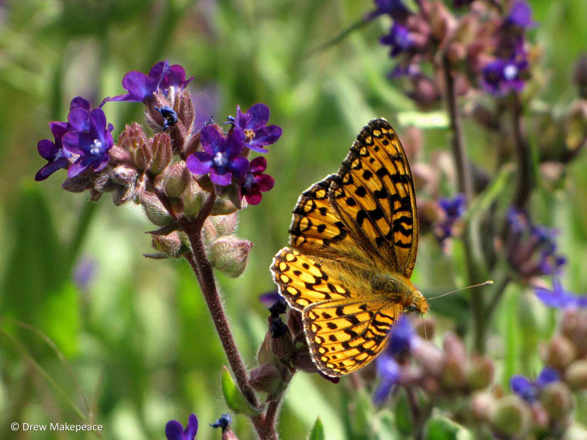
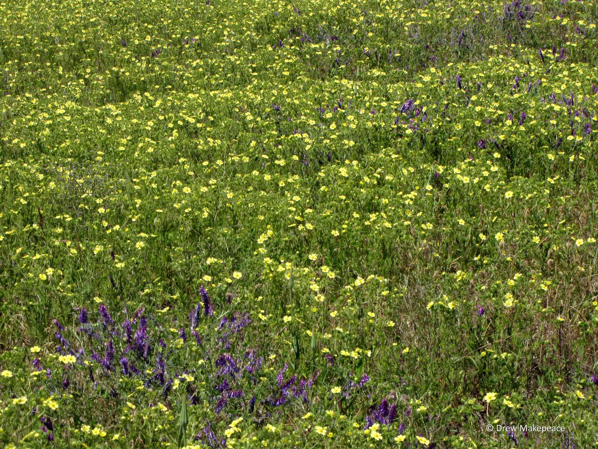
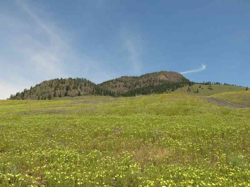
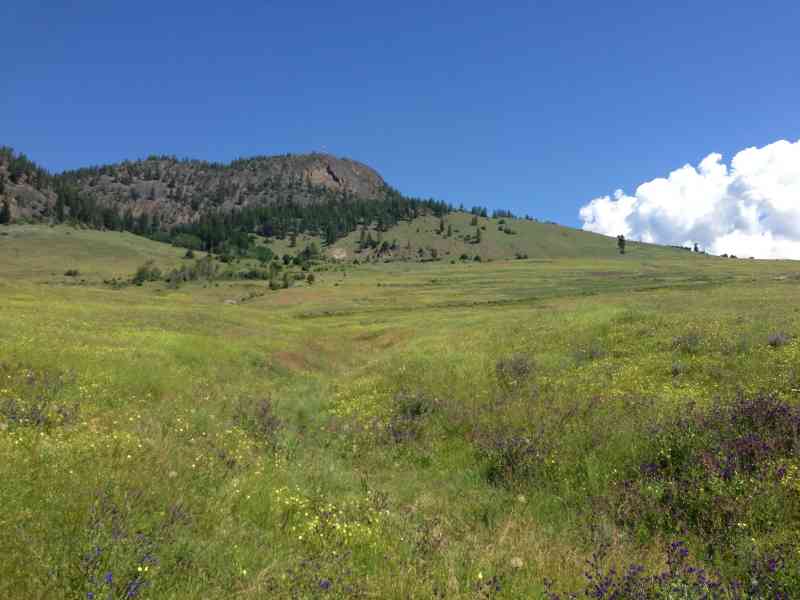
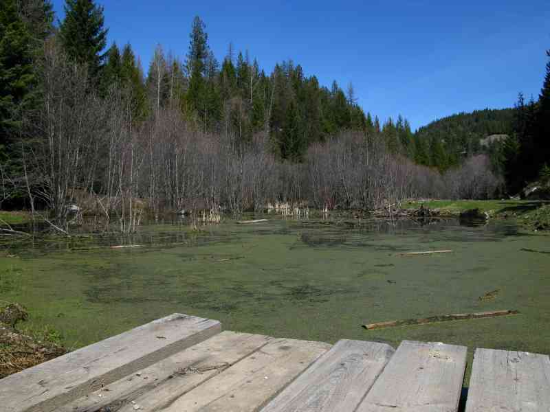
The first part of the trail is a gentle incline through scenic grasslands, take the first fork to the left and at the small pond take a left fork again. Vegetation consists of Fir, Cedar and Tamarack trees along the way.
Route
Kids & Pets
Features
Address
Driving Time
From Downtown Kelowna, approximate travel time by car is 25 min.
Notable GPS Co-ordinates
Detailed Directions
1. Drive 10km towards Big White from the intersection of Highway 97 (Havey Ave) and Highway 33.
2. Turn left onto Pyman Road and park, or park along the highway. DO NOT PARK PAST THE CATTLEGUARD as it may get locked.
3. Hike up Pyman Rd through the Cattleguard.
Google Directions
Duration Calculator
The metrics for this trail have been converted to round-trip formation for distance and elevation gain/descent if necessary.
We have a downloadable GPS map for this trail!
Last Updated on Sunday, January 26, 2025
Need help using it? See our FAQ.
I'm here where is everyone else ?
Saturday, May 2, 2015 at 9:58 AMOh noh... If the meet up time is 10am.. We will be late... The bus arival will be past 11am.. Huhu.. Hope guys can still wait for us..
Saturday, May 2, 2015 at 10:50 PMWe drove around the base of Black Mountain a bit today trying to find the best route. There are very big NO TRESPASSING signs at the top of McCurdy and a lot of people because of the golf course. We also tried the top of Swainson which had promise but involved a lot of bush wacking. We settled on Pyman, parking at the bottom near highway 33 and heading up the paved road. Lots of cows (no bulls thankfully!) but that was the only sign of non-insect life that we saw.
Sunday, July 8, 2018 at 6:56 PMWe found it odd that about half way up you cross into Black Mountain park- not sure how people are supposed to access the park without trespassing???
Beauty view from the top and a good climb. Glad to finally be able to look at that mountain as conquered!
Hiked up here solo this morning and happy to say that the trail was fully as described and I didn't have any access issues. There were a couple of gates with big graffiti saying 'No trespassing' and 'Keep out' but they were open and i figured i wasn't doing any harm by sticking to the pathway. Bottom fields are full of cows and calves but didn't see the infamous bull and wasn't chased away. A beautiful hike and great views from the top!
Wednesday, September 26, 2018 at 5:30 PMLeave a comment
You must Login to post a comment!