
Blue Grouse: Baby Grouse
Blue Grouse: Baby Grouse
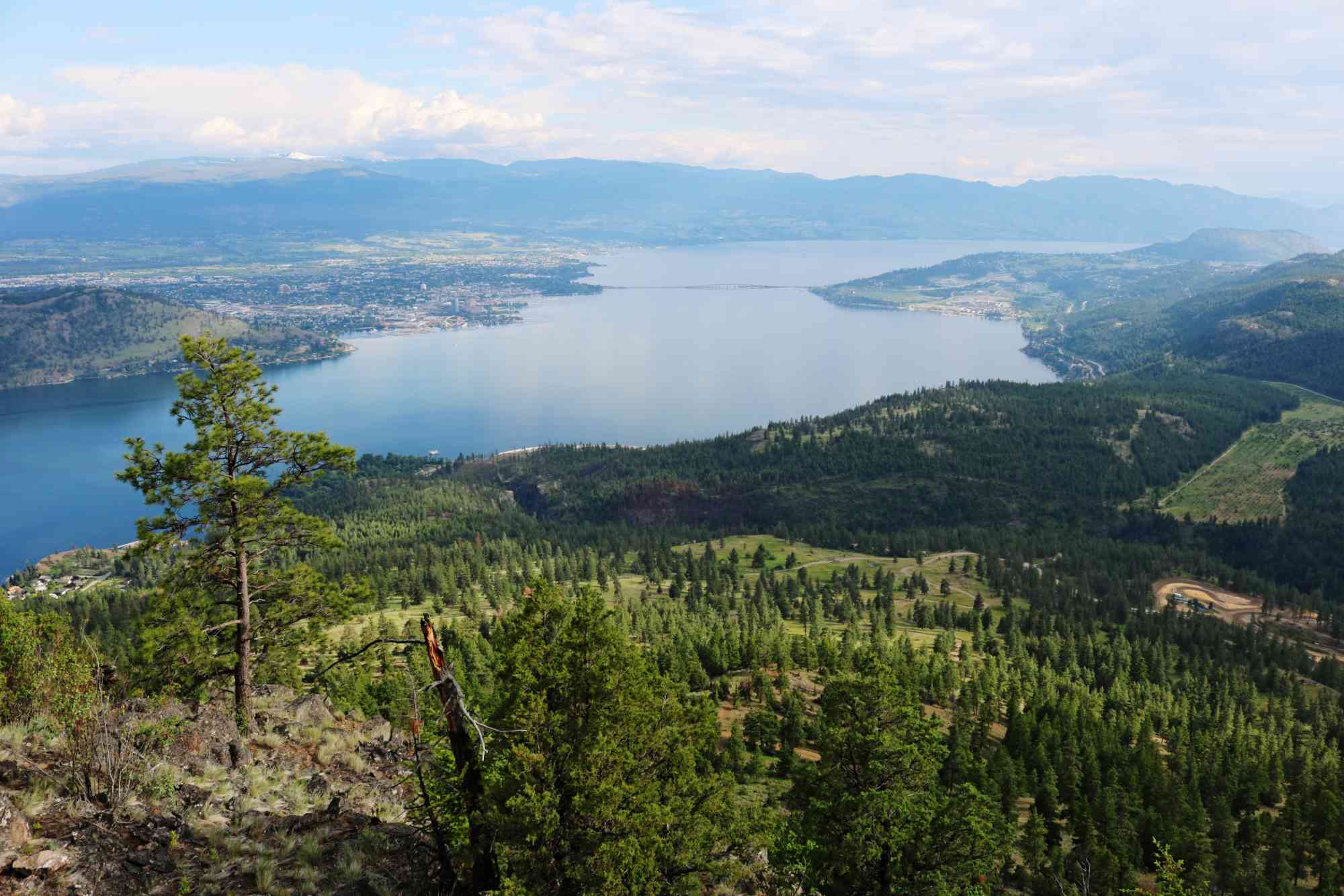
West Kelowna
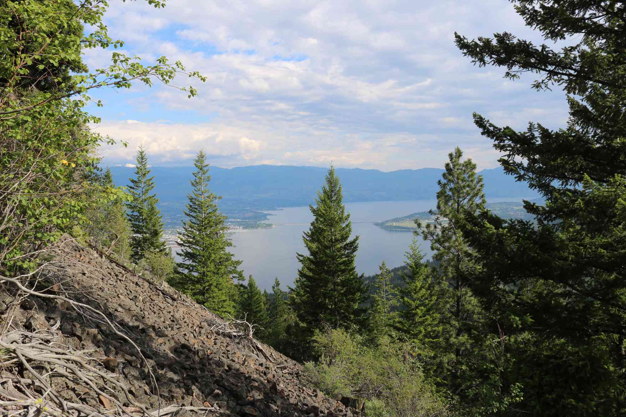
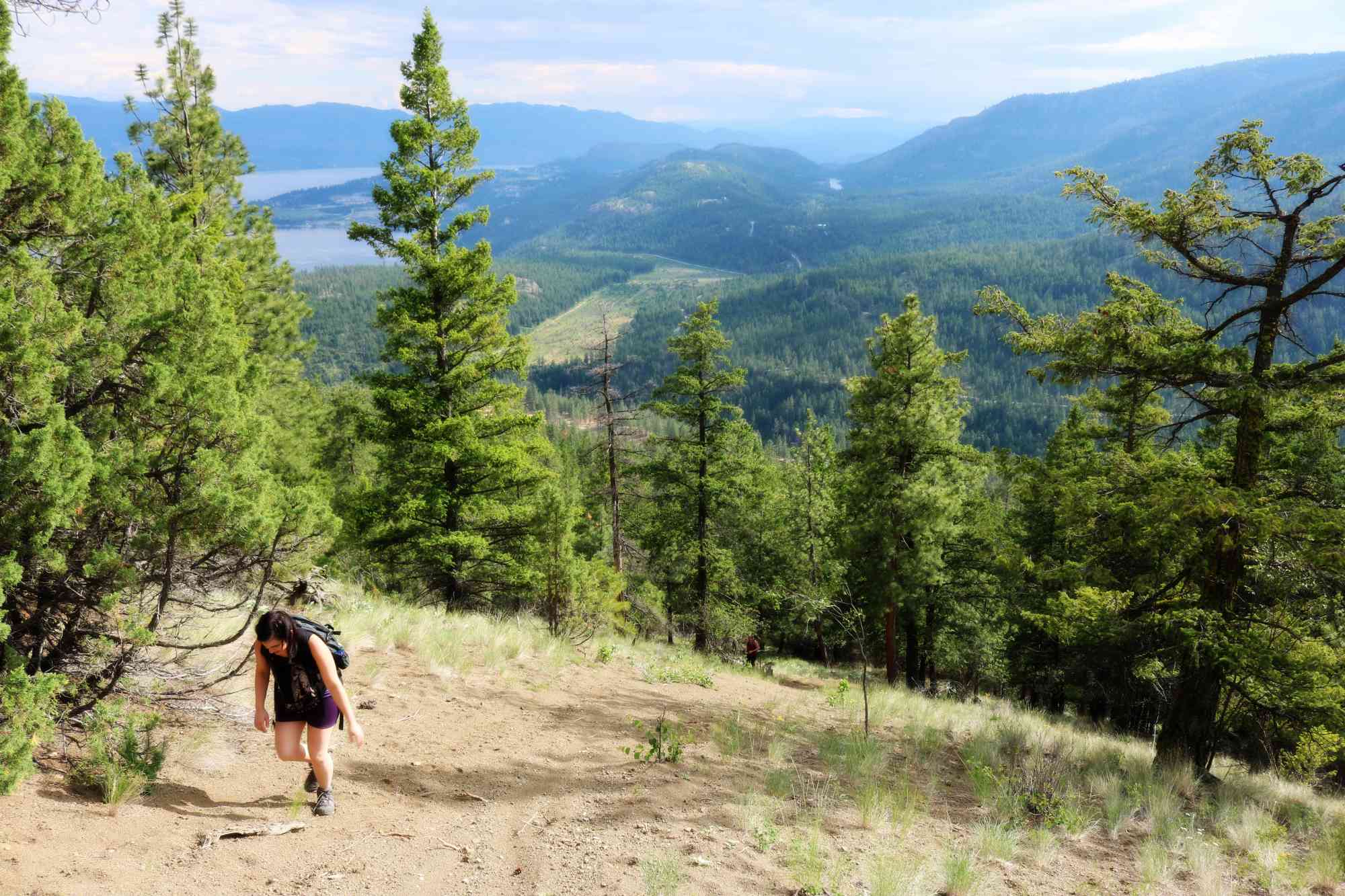
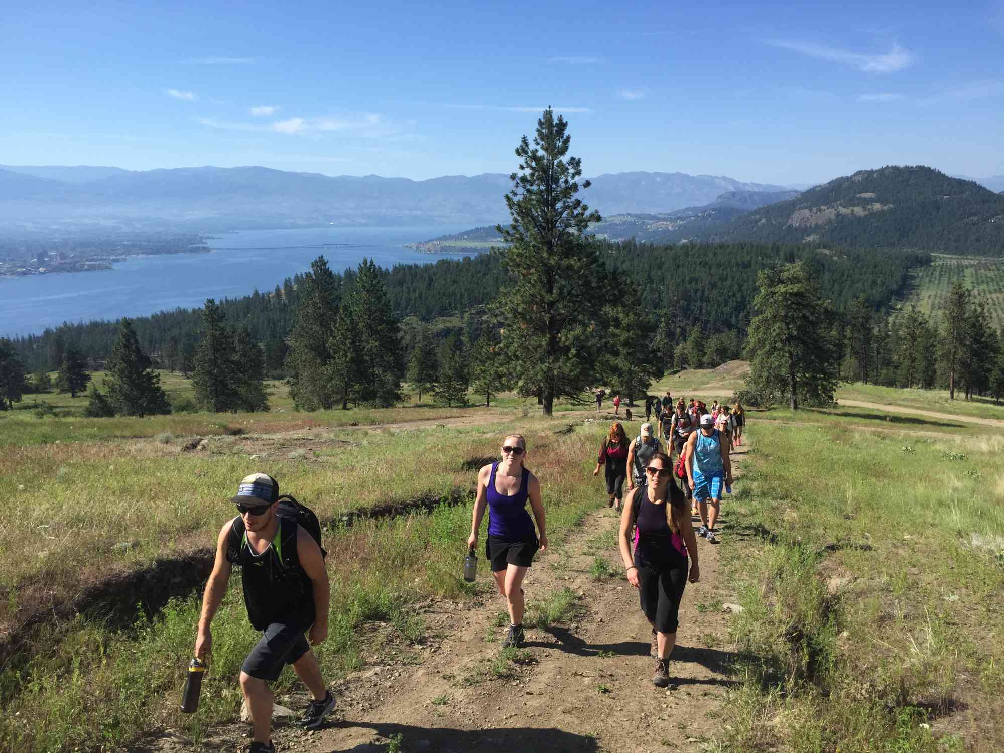
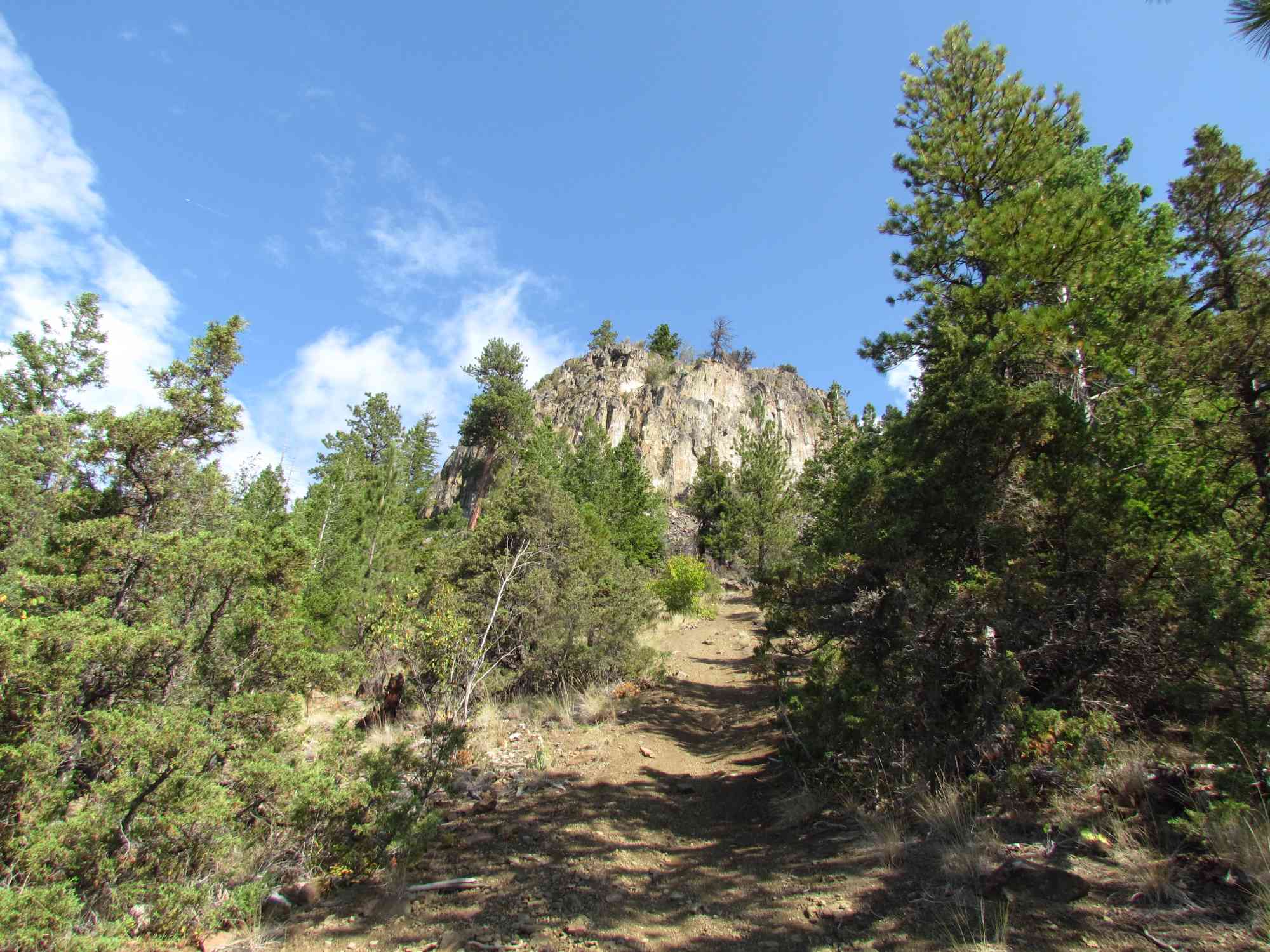
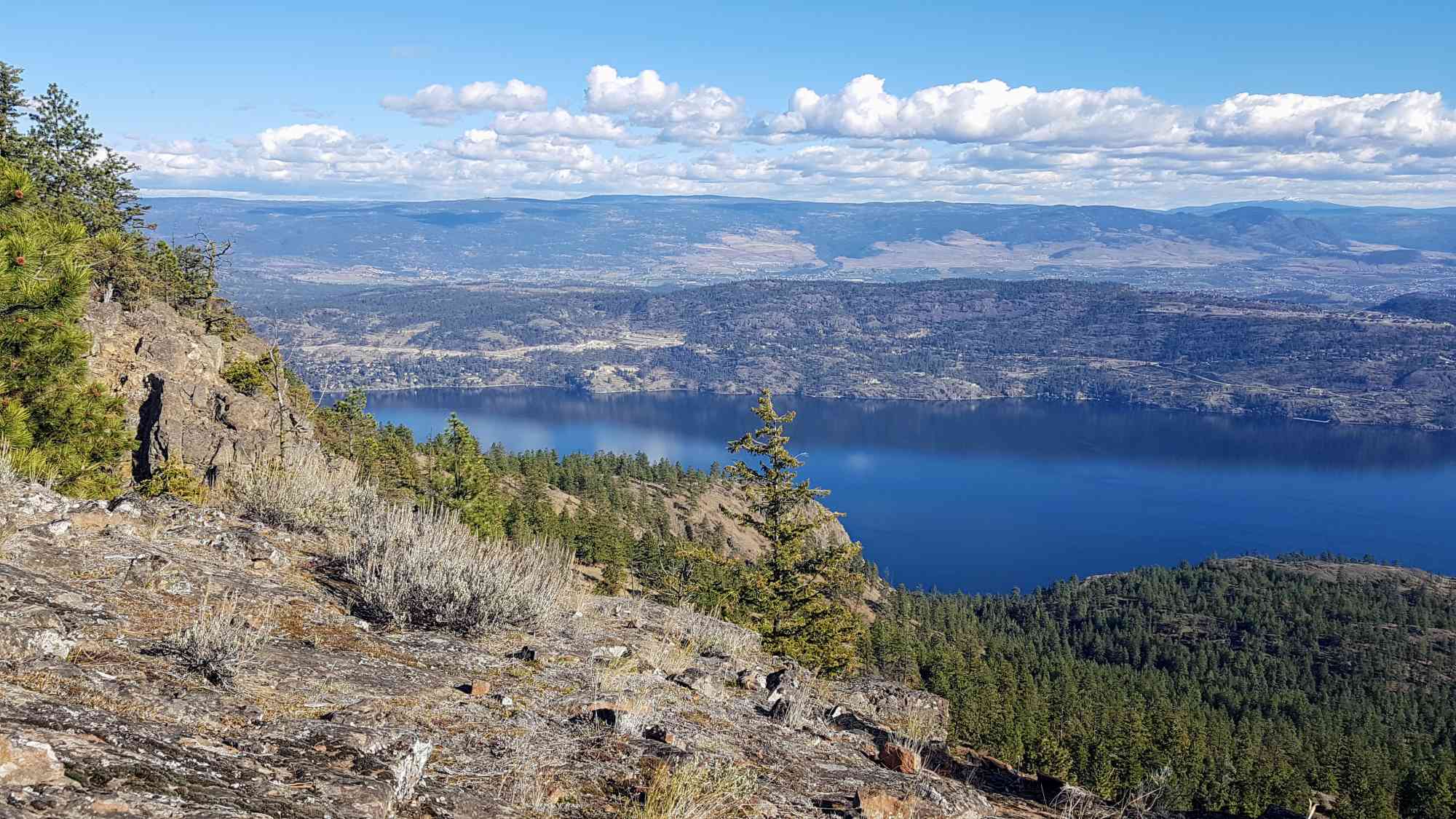
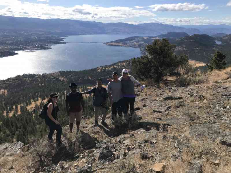
A ludicrously steep but scenic trail at Blue Grouse offers stunning views of the city along with exposure to local vegetation including Wild Rose Bush, Yarrow, Tall Buttercup, cactus and Raspberries. It begins on the 4x4ing track, and after
Bring a sufficient amount of water, it will be needed especially in the summer when combining the steep hike with hot weather.
Route
Kids & Pets
Features
Address
Driving Time
From Downtown Kelowna, approximate travel time by car is 20 min.
Notable GPS Co-ordinates
Detailed Directions
Allow 20 minutes driving time from downtown Kelowna.
1. Follow Highway 97 from downtown Kelowna across the bridge and turn right onto Westside Road (take the detour slightly past that on Nancee Rd and double back a few hundred meters if Westside Rd is closed for construction).
2. Follow Westside Rd for 8.4km, going past Bear Creek Park on your left.
3. Watch for Bear Lake Main Road a couple kilometers after Bear Creek Park and turn left.
4. After exactly 2km, arrive at the UNMARKED Blue Grouse Rd parking area.
Google Directions
Duration Calculator
The metrics for this trail have been converted to round-trip formation for distance and elevation gain/descent if necessary.
We have a downloadable GPS map for this trail!
Last Updated on Sunday, January 26, 2025
Need help using it? See our FAQ.
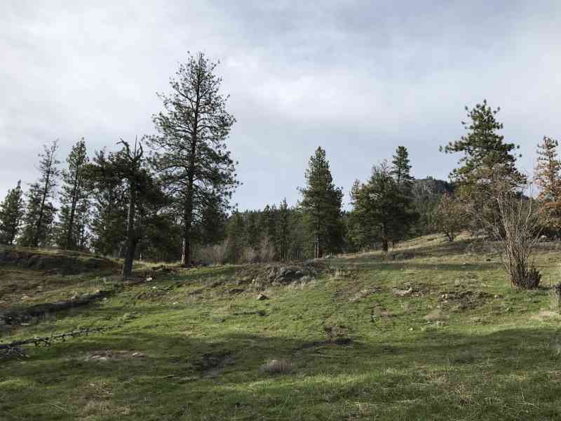
lots of opportunity for off trail exploration here, There are the remains of an old homestead below the last push to the top. A spring fed water system is the visible remain, and depression where there could have been a cabin.
Monday, March 27, 2017 at 10:14 AMSteady steep incline most of the way up, bring good traction shoes and hiking poles if you like those. Fantastic views at the top, well worth the uphill battle. We met a few atv's and motorbikes on the lower slopes but once you are more than half way, its a bit steep for those guys. 5 stars, will do it again!
Sunday, October 14, 2018 at 10:11 AMLeave a comment
You must Login to post a comment!