
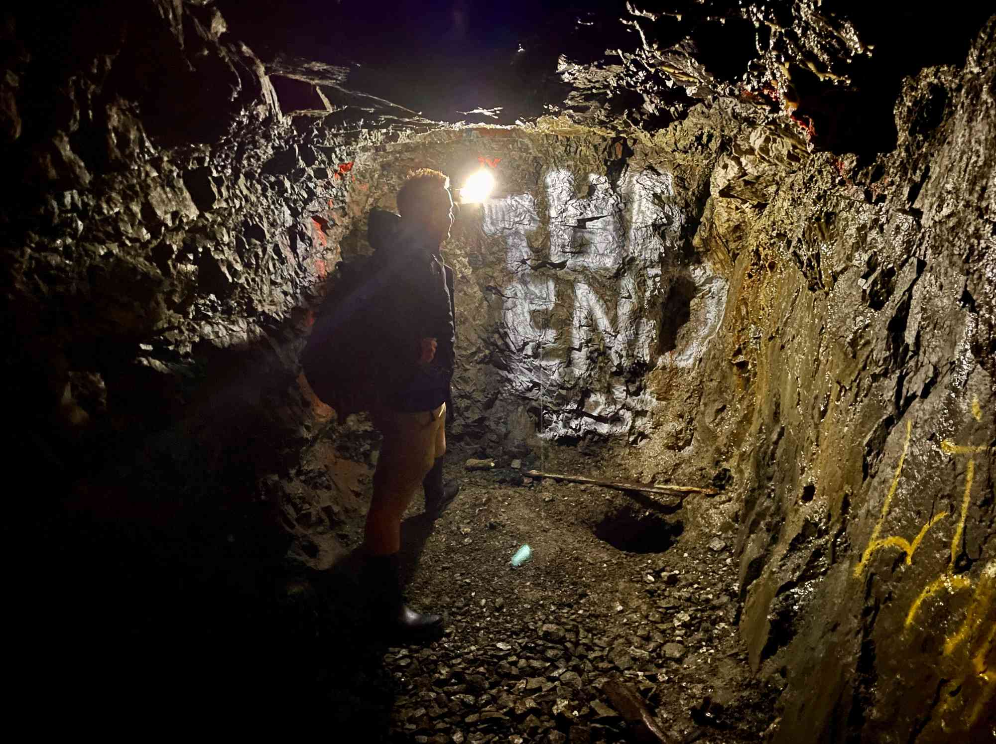
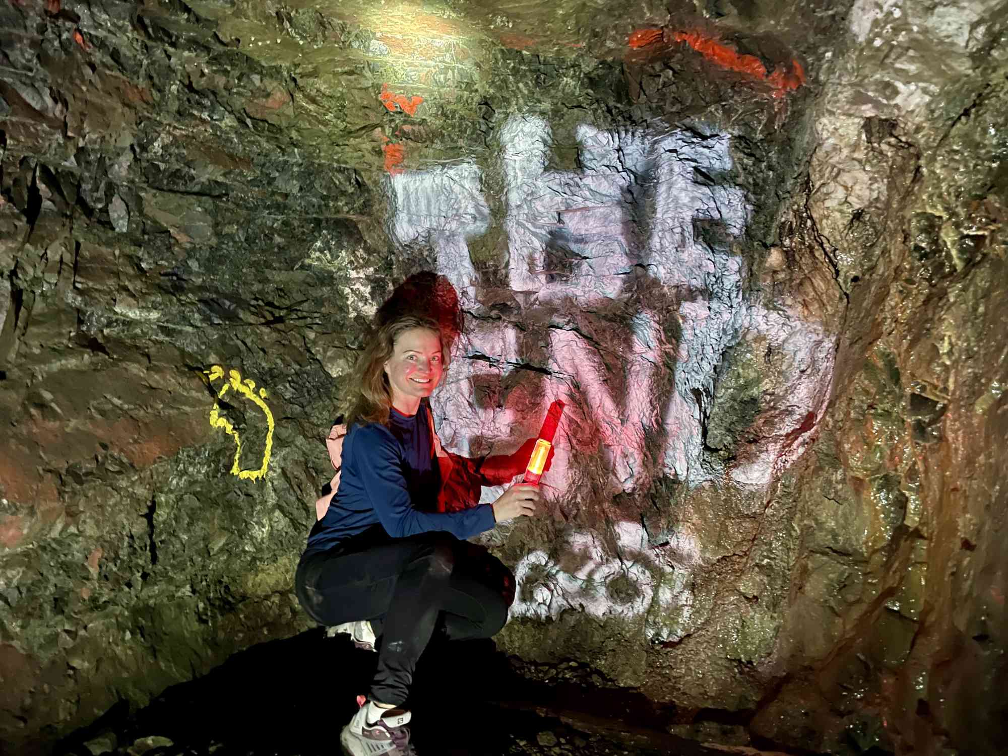
Blue Hawk Mine
Blue Hawk Mine
West Kelowna
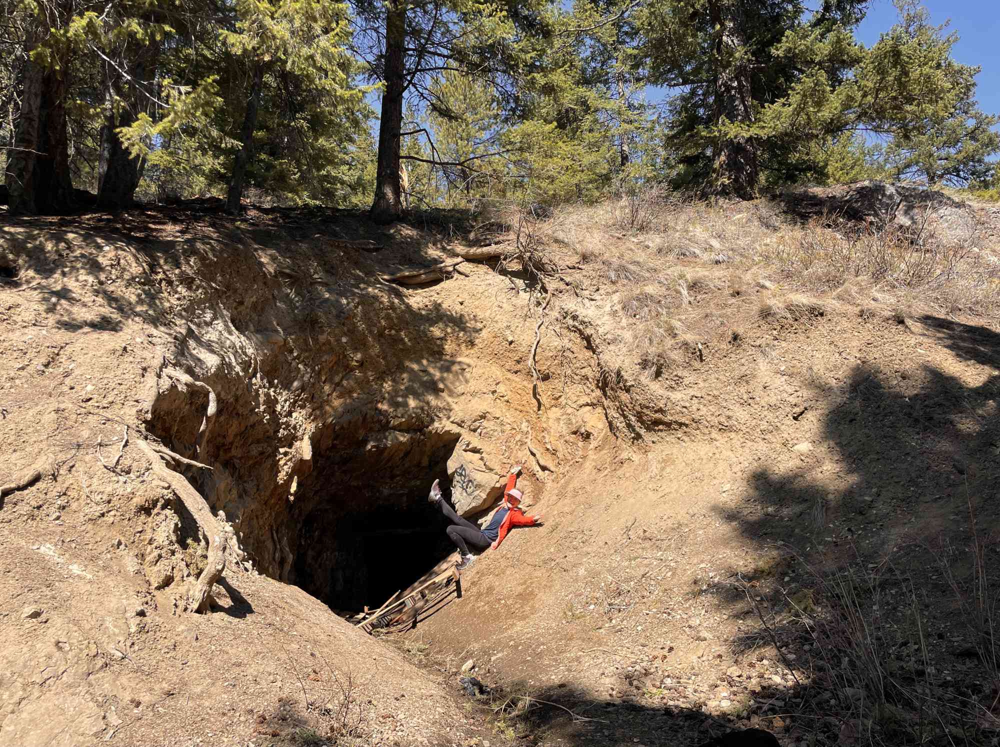
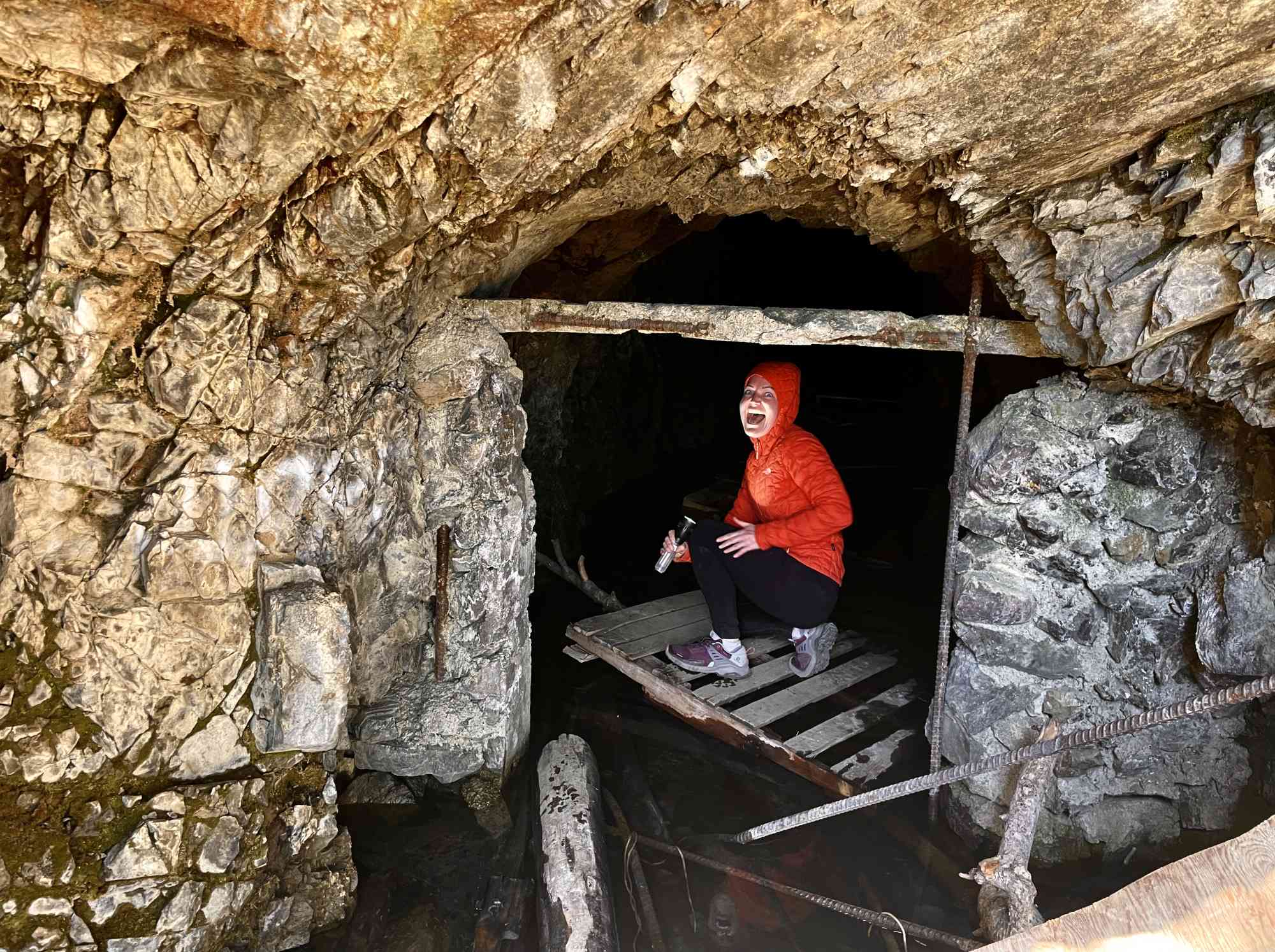
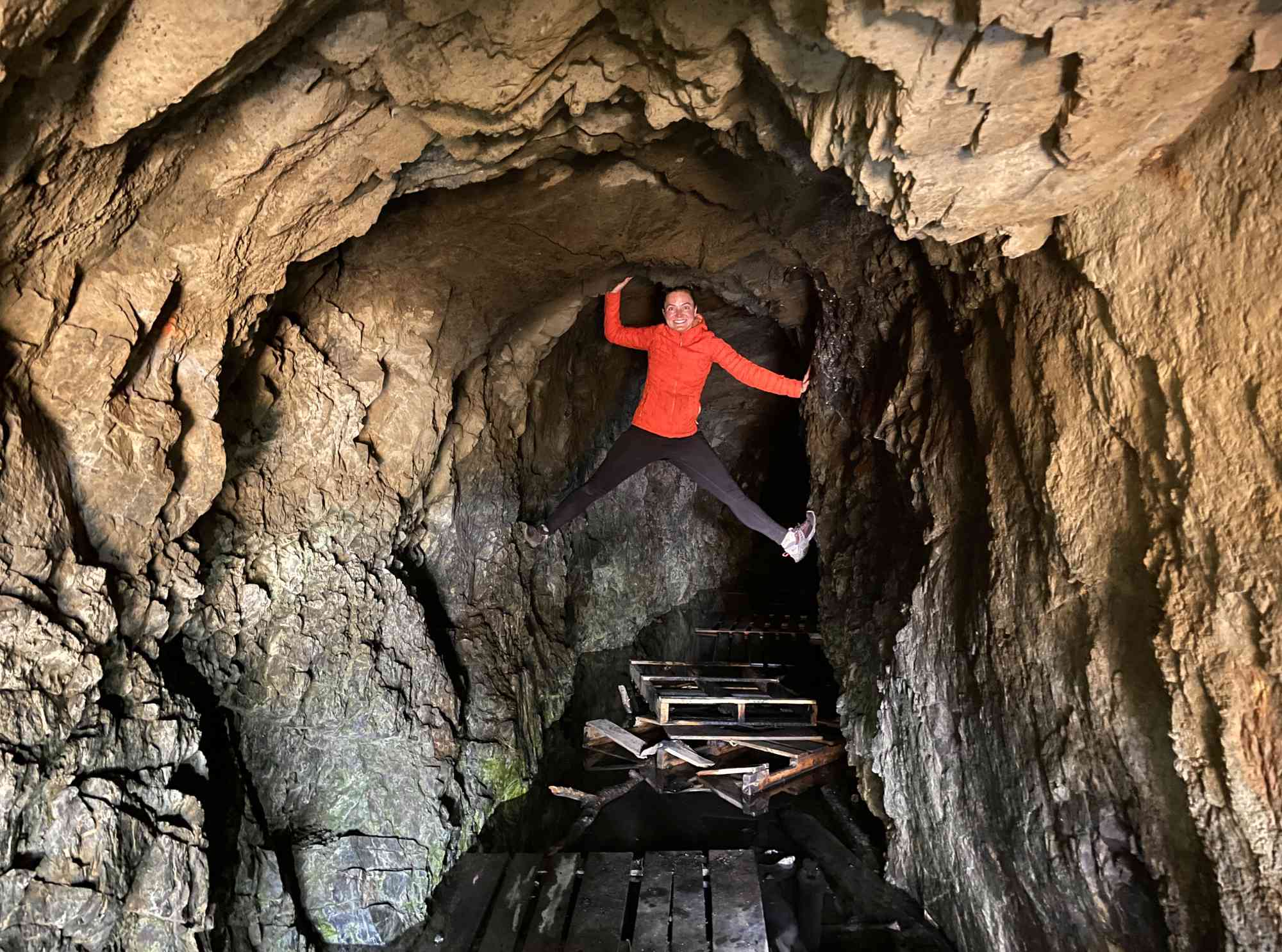
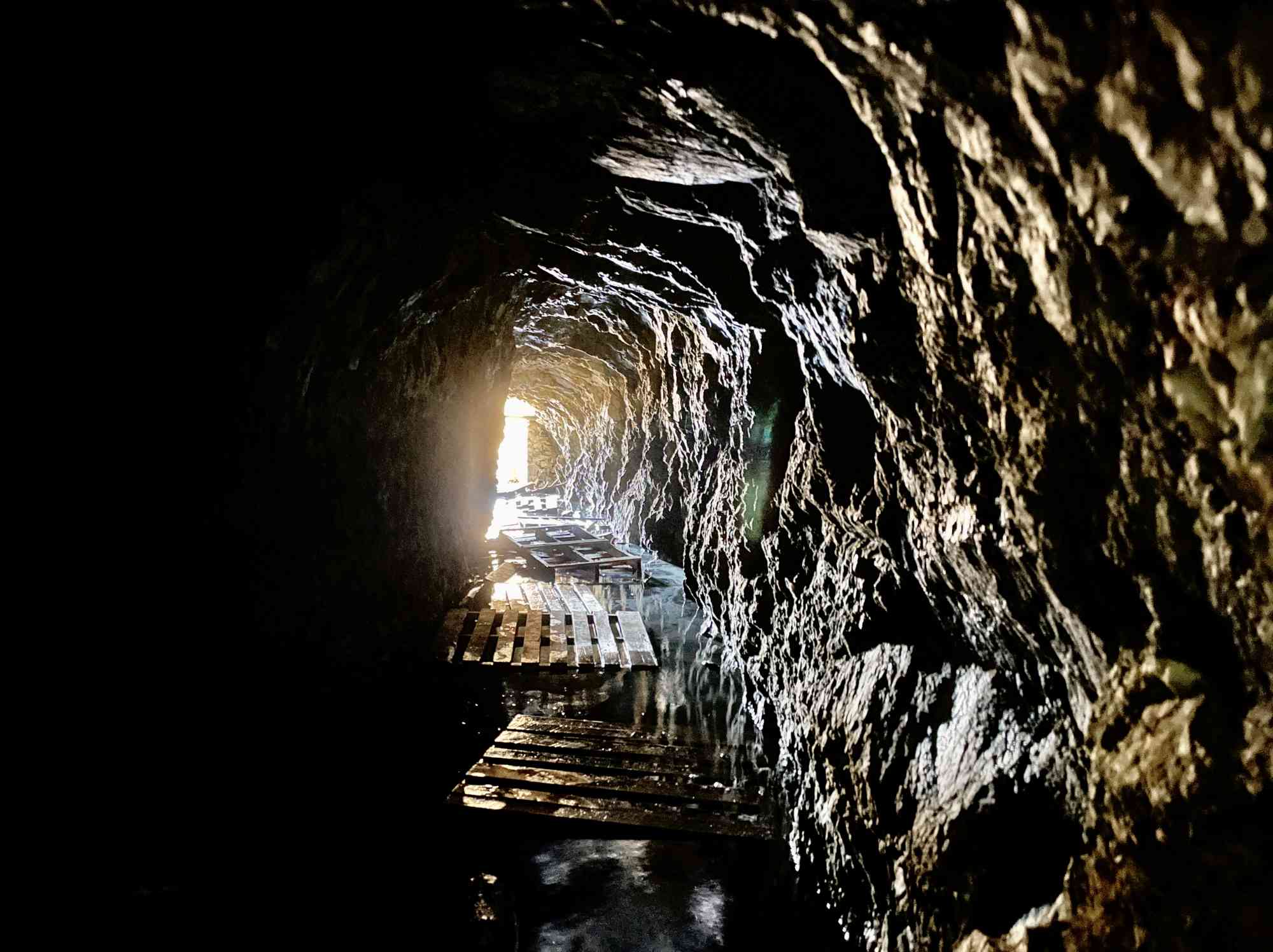
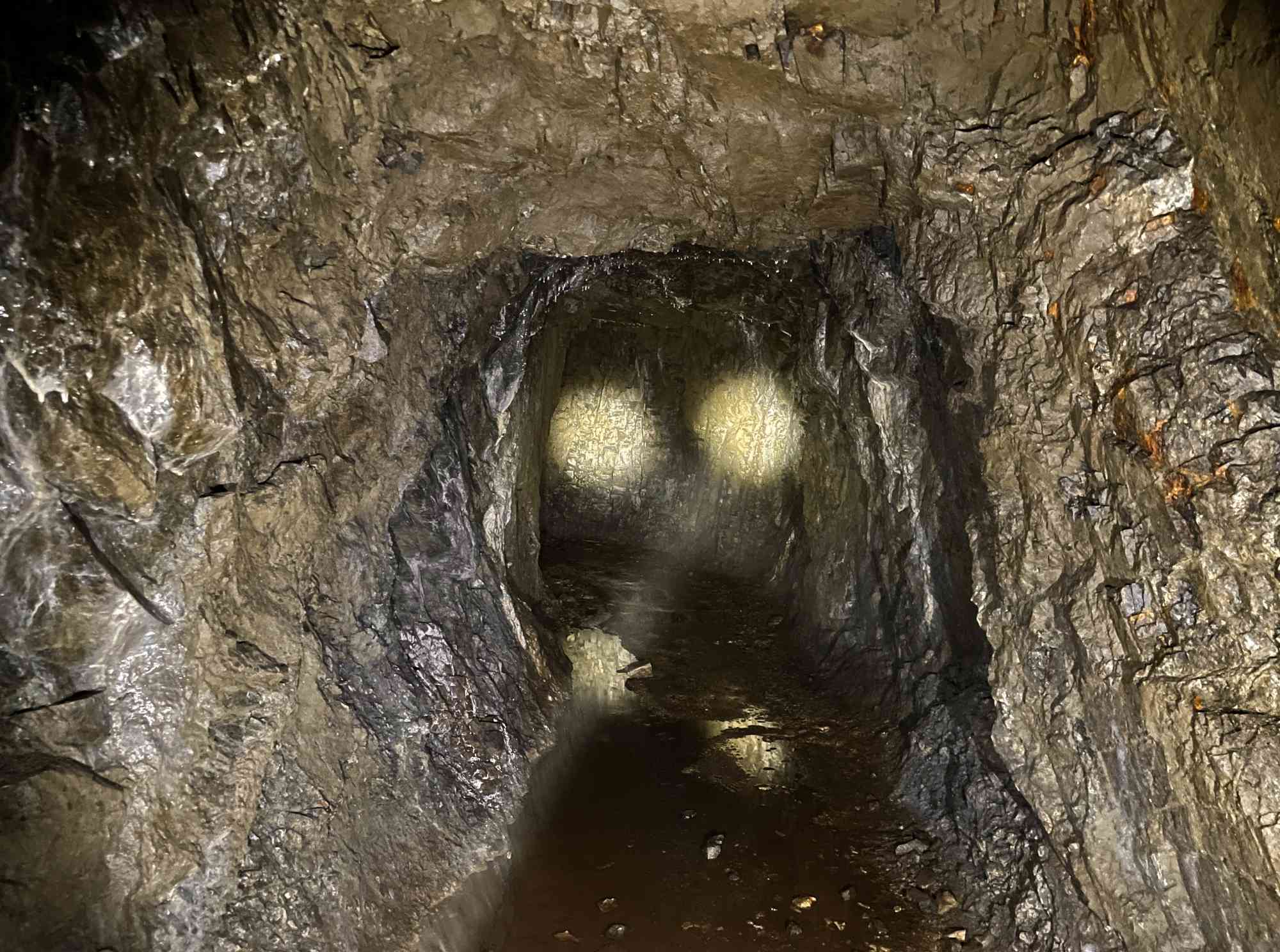
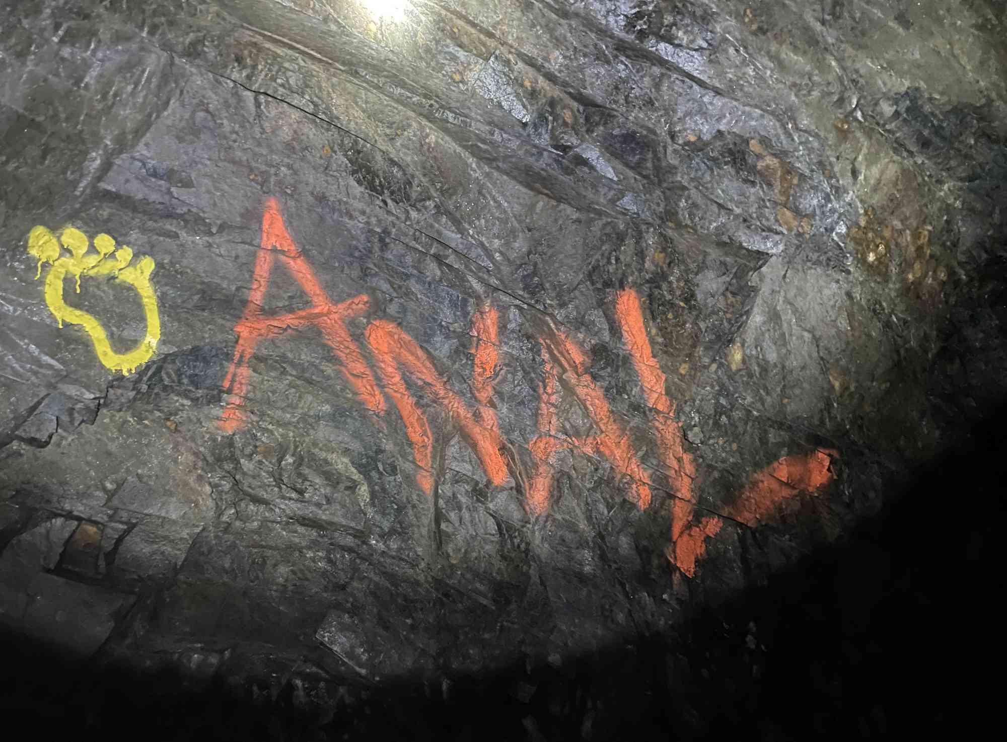
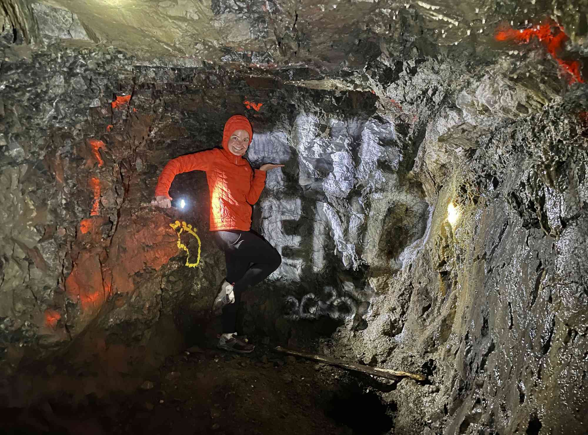
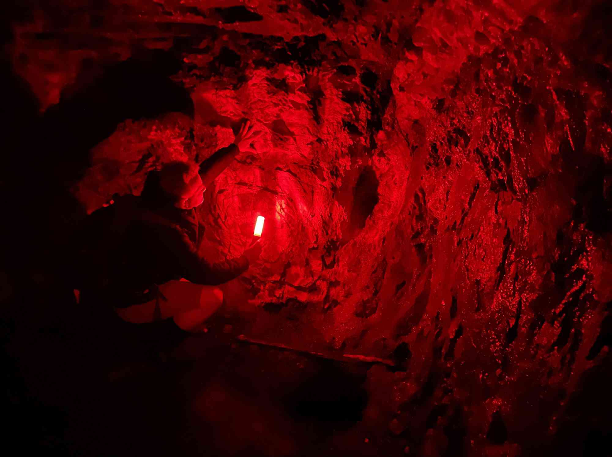
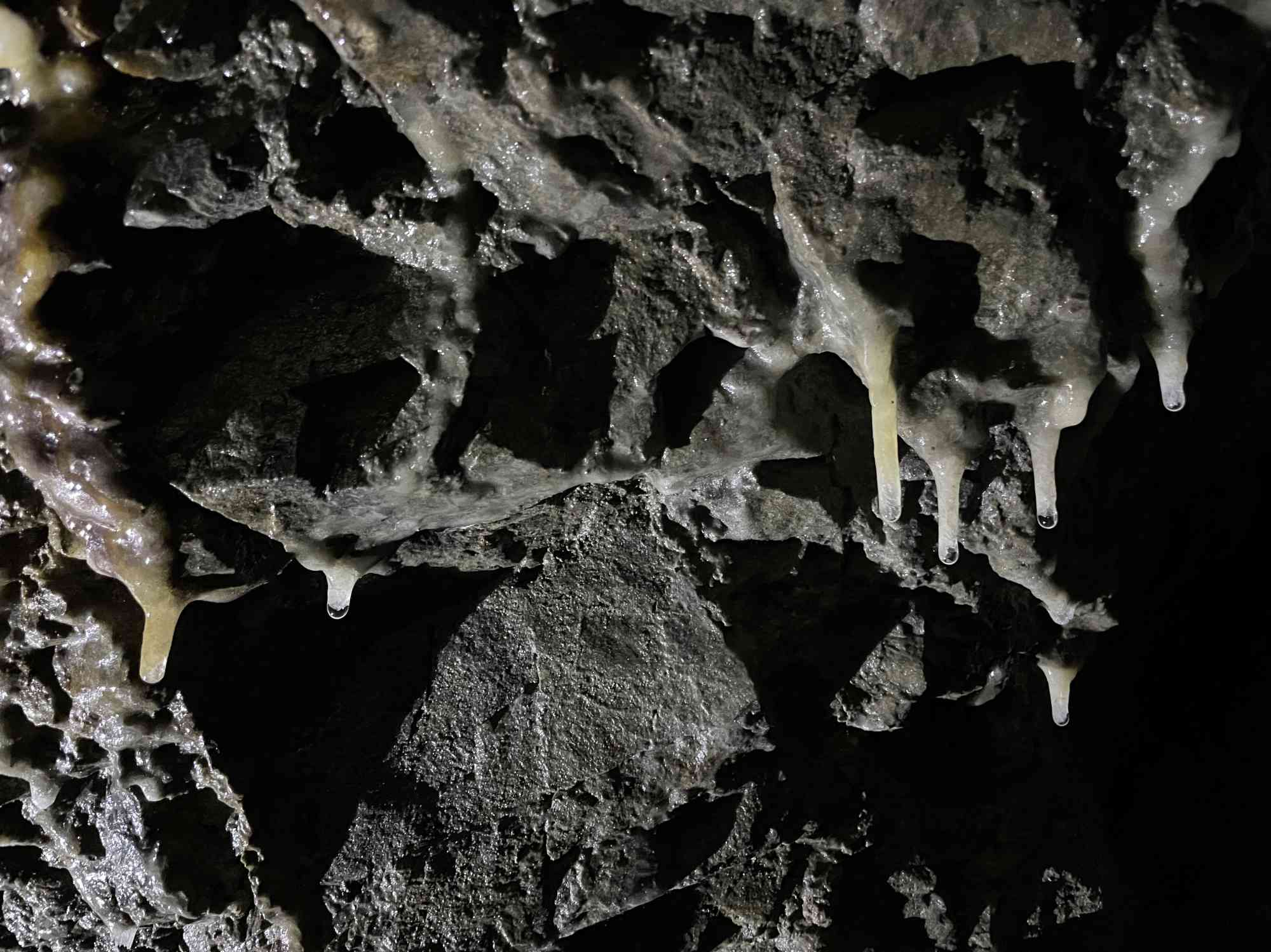
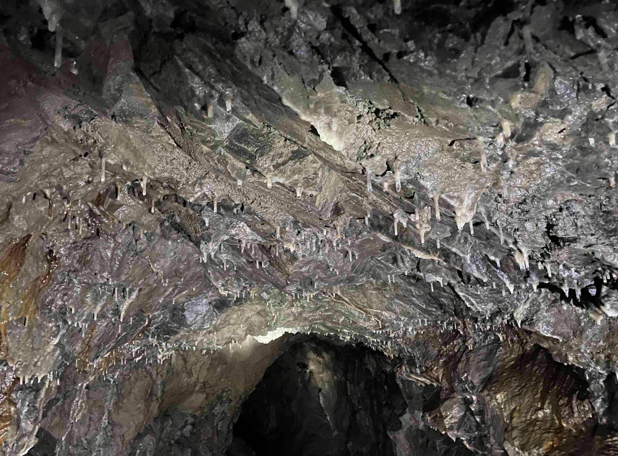
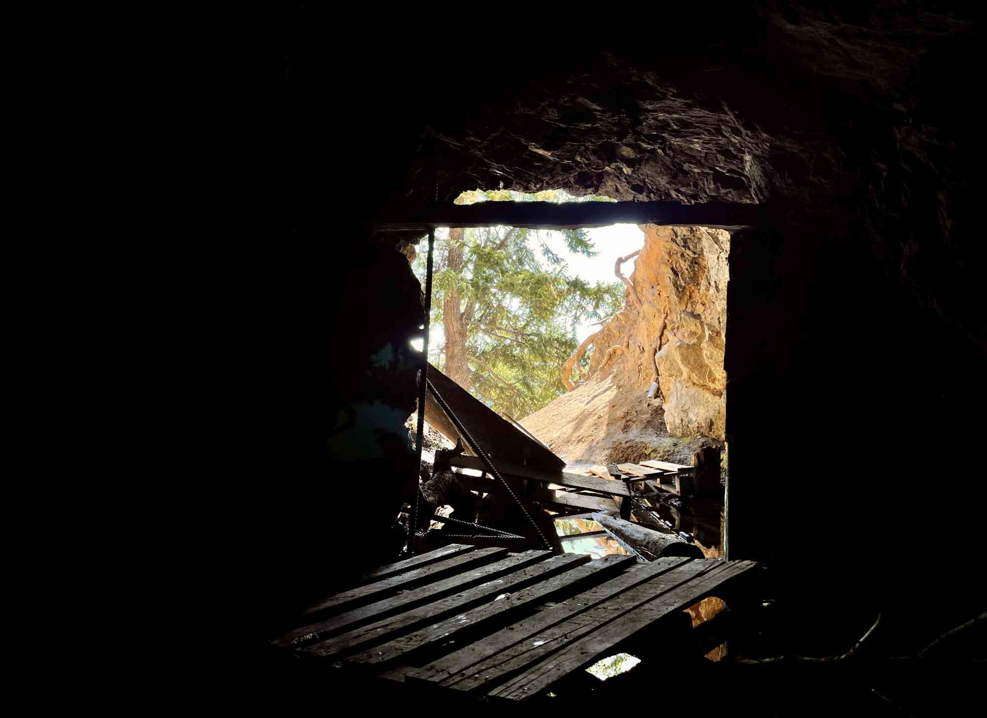
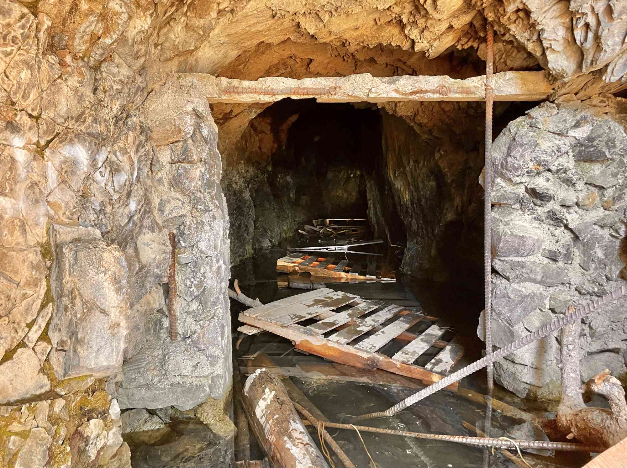
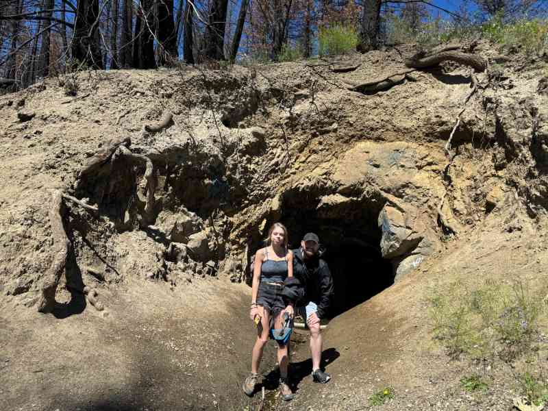
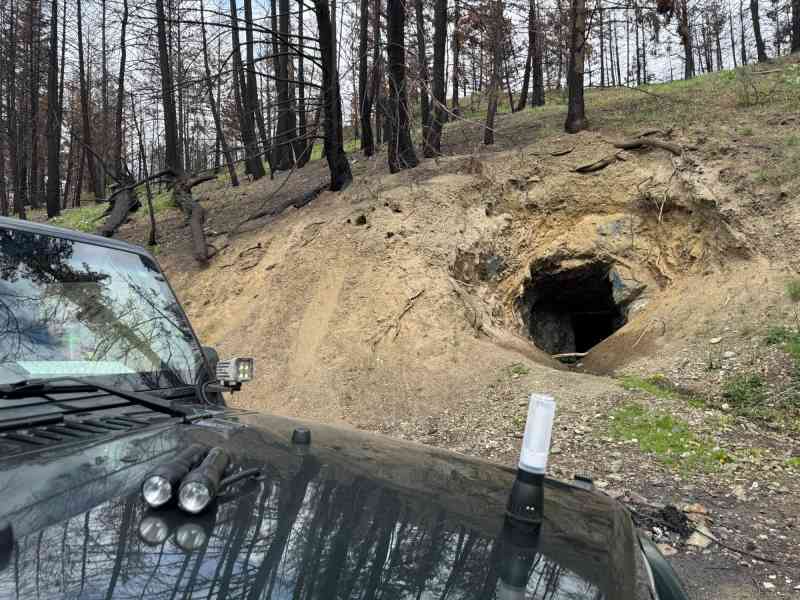
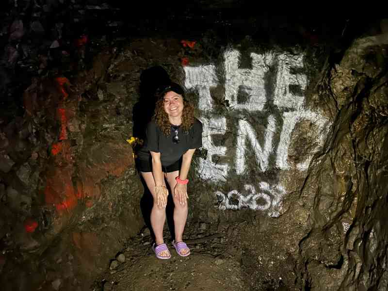
A mere 20 minutes from the turn off from Westside Rd, this abandoned gold mine is a hidden gem on Blue Grouse Mountain. While the entire adventure is pretty short as the cave network only has two forks, expect hallway-style width and height corridors, and also 0.5ft-1ft deep water for the first 50 feet or so of the cave. Bring rainboots if you have them.
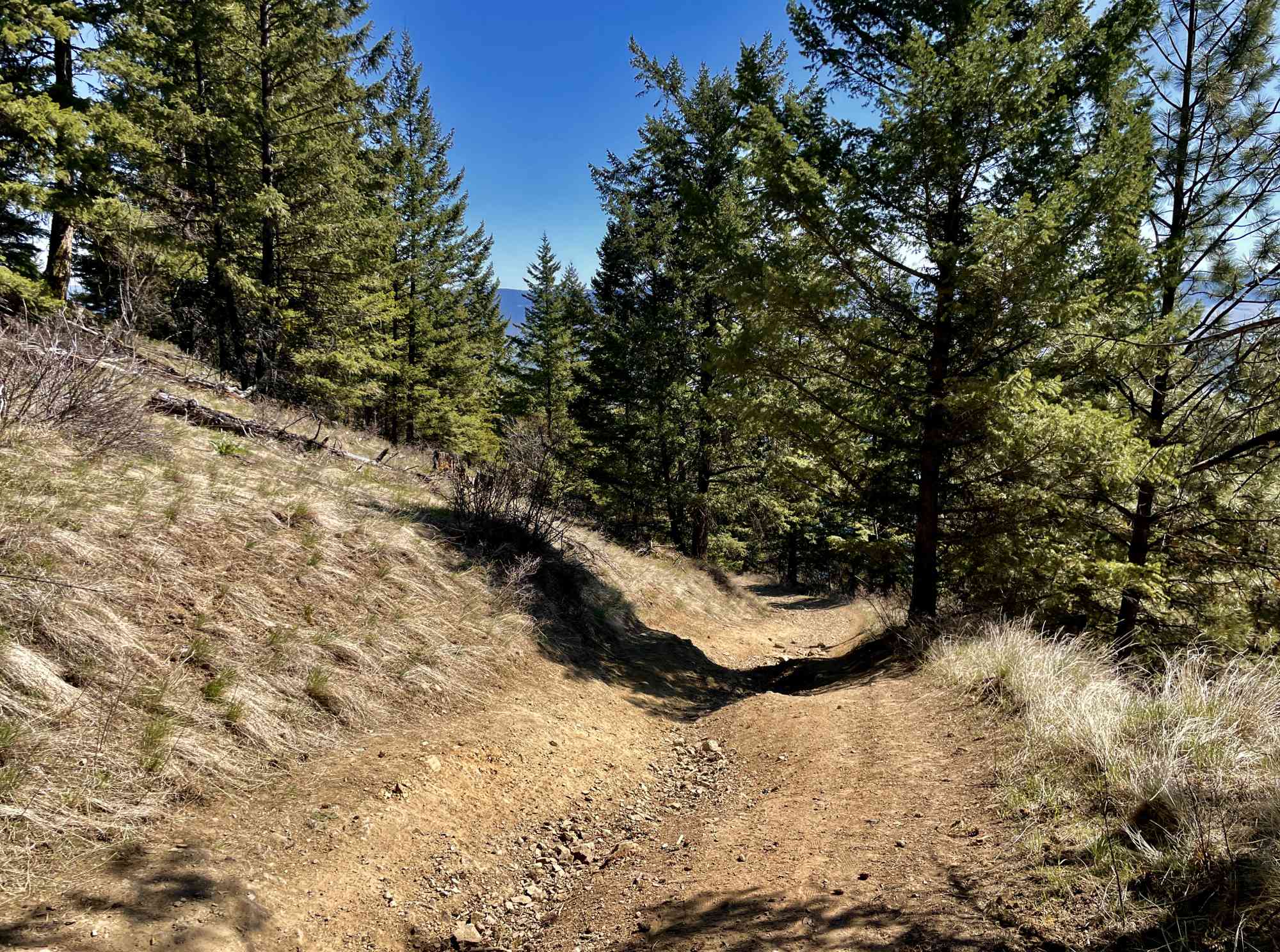
While technically it's possible to 4x4 right to the cave entrance, most cars (including a Subaru BRZ) can make it to the turn off where the forest service road turns right into a 4x4ing right. That will leave you a mere 228 meter descent, and 45 meters of elevation, from the cave entrance.
Definitely a must-do on Halloween or a full moon.
Route
Kids & Pets
Features
Address
Driving Time
From Downtown Kelowna, approximate travel time by car is 33 min.
Notable GPS Co-ordinates
Detailed Directions
- Drive into West Kelowna and take the Westside Road exit towards Bear Creek.
- At Bear Lake Main Road, just pass bear creek, park turn left and RESET ODOMETER.
- At 6.8 km (just prior to the 8 km marker), turn right up Terrace Main & RESET ODOMETER
- At 0.5 km turn right onto Blue Grouse & RESET ODOMETER
- At 2.8 km (just past the 11 km sign) where the road splits into 3 ways, keep right.
- At 3.6 km (at the 12 km sign), notice the cabin on right.
- At 3.9 km, keep left.
- At 4.3 km park on the side of the road and walk down the hill.
- The cave will be on the left at just over 200 meters. Possible to 4x4 down with a large vehicle.
Google Directions
Duration Calculator
The metrics for this trail have been converted to round-trip formation for distance and elevation gain/descent if necessary.
We have a downloadable GPS map for this trail!
Last Updated on Sunday, January 26, 2025
Need help using it? See our FAQ.
Leave a comment
You must Login to post a comment!