
Bluenose Mountain
Bluenose Mountain
Coldstream/Lumby
30 min from Downtown Vernon
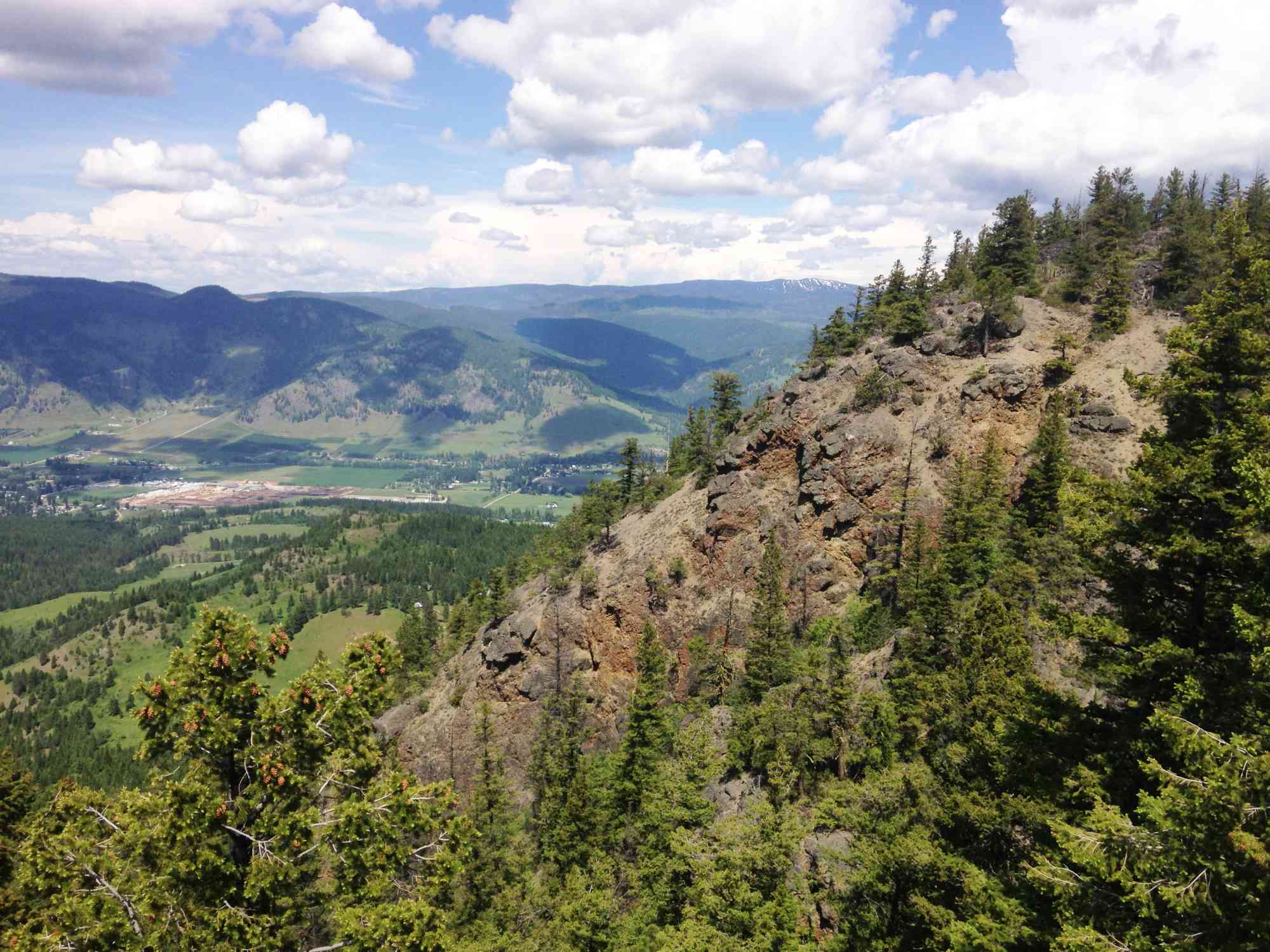
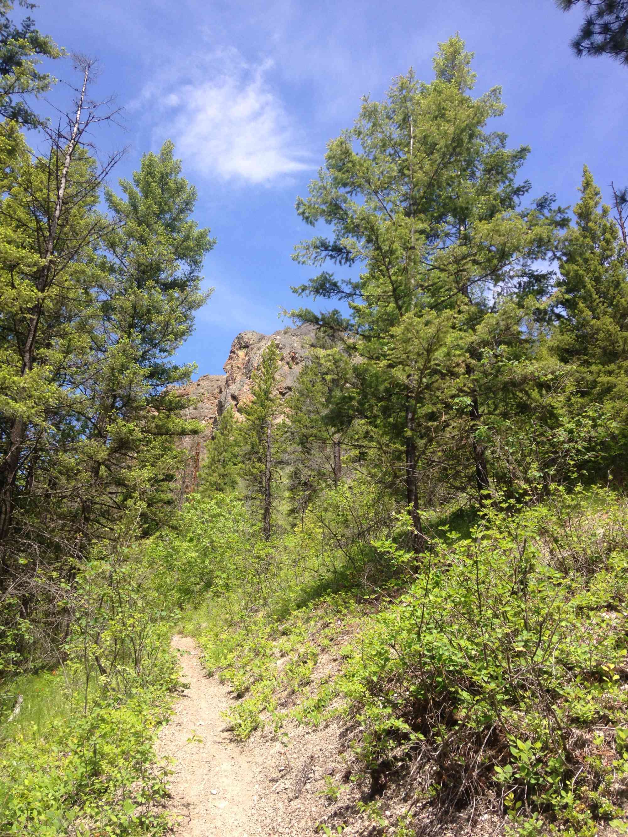
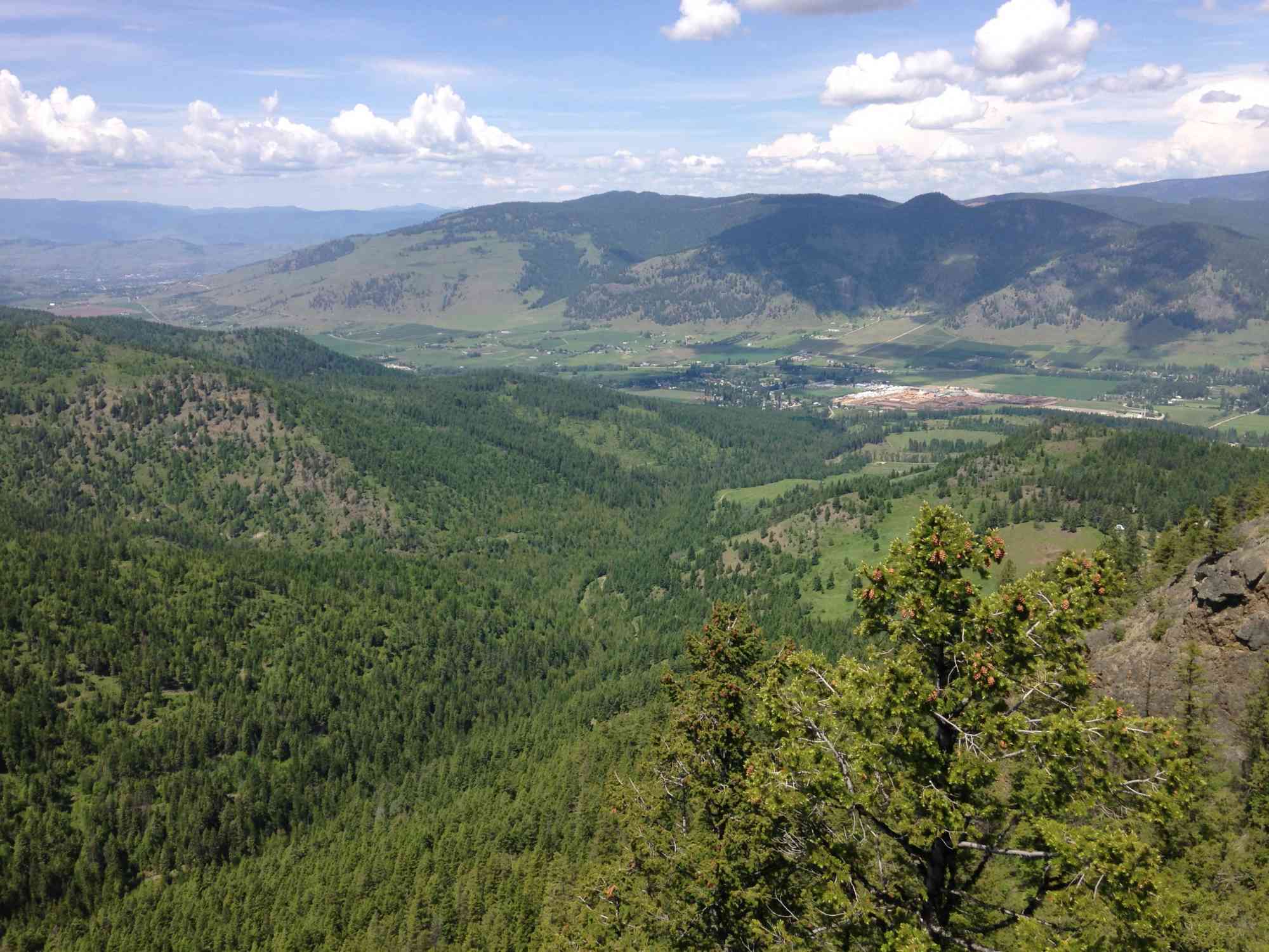
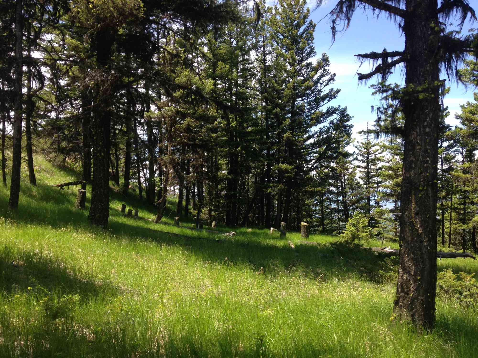
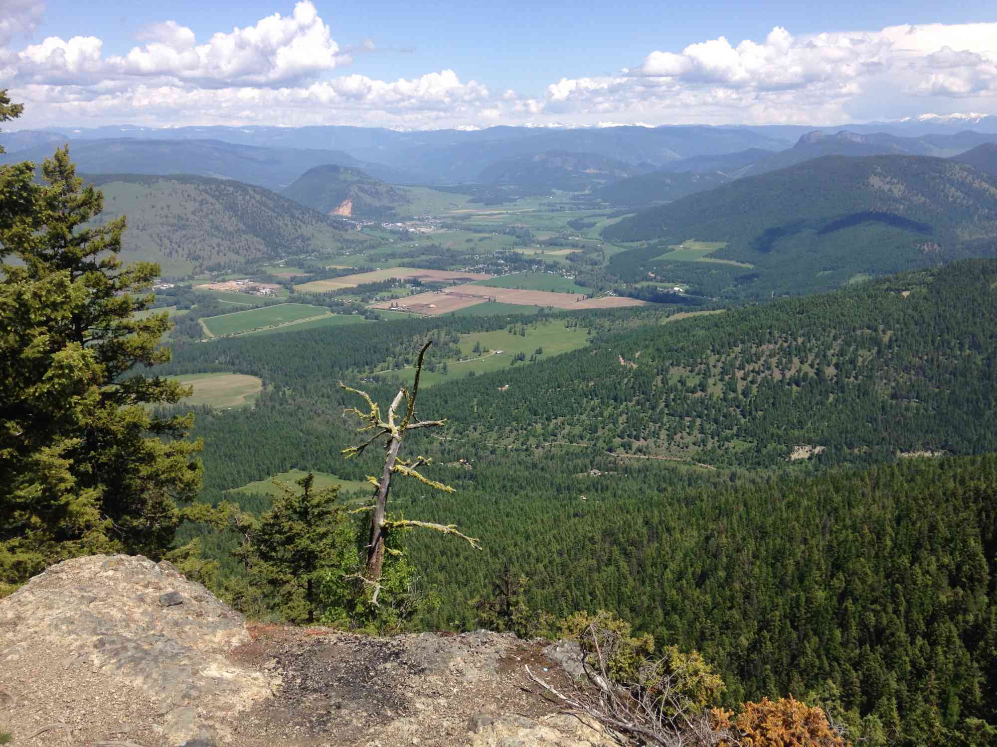
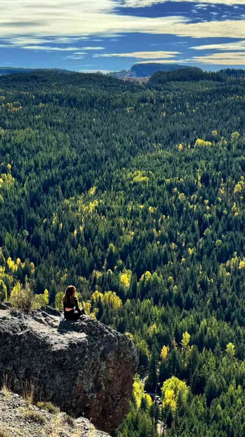
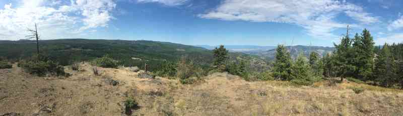
50.191751, -119.073065Bluenose is a stunning heavily forested hike with a few great clearings of the valley between Coldstream and Lumby. The hike itself is well marked and easy to follow. Prepare for a very steady uphill ascent, with a brief detour for a Viewpoint in the first 20-30 minutes off to the left. Return back to the trail and continue eastward to reach the apex of Bluenose Mountain.
Route
Kids & Pets
Features
Address
Driving Time
From Downtown Vernon, approximate travel time by car is 30 min.
Notable GPS Co-ordinates
Detailed Directions
2. Turn RIGHT on Learmouth Road just before the village of Lavington with signs for Coldstream Willows Nursery. This road snakes through the countryside.
3. Turn LEFT onto Reid Rd after about 5.5 km.
4. Turn RIGHT onto Whitevale Rd (unlabelled) after about 300 meters. Continue past Aspengrove Equestrian Academy as the road becomes "Bluenose Rd" and then "Aberdeen Lake Rd"
5. Watch for a tiny brown sign on your left indicating "Bluenose Trail" just after the yellow 4 km marker on the road (3.8 km since the road turned into gravel).
6. Park in the clearing.
Google Directions


Duration Calculator
The metrics for this trail have been converted to round-trip formation for distance and elevation gain/descent if necessary.
Estimated Time:
-- hours
We have a downloadable GPS map for this trail!
Last Updated on Sunday, January 26, 2025
Need help using it? See our FAQ.Map Waypoints
GPS Notes
Leave a comment
You must Login to post a comment!