
Brent Mountain
Brent Mountain
Apex
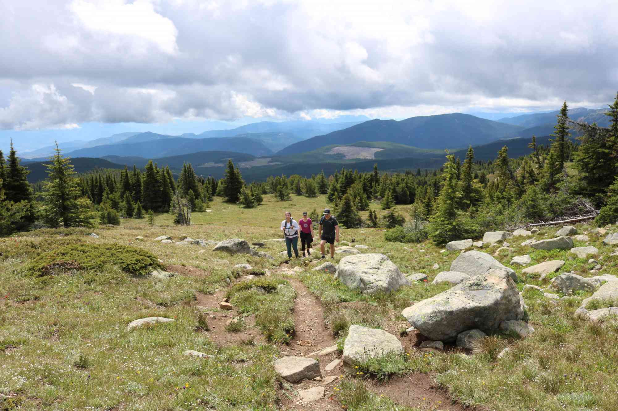
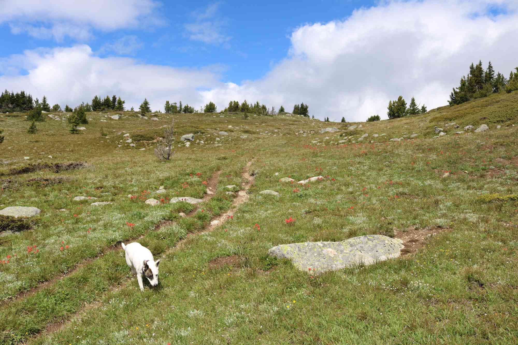
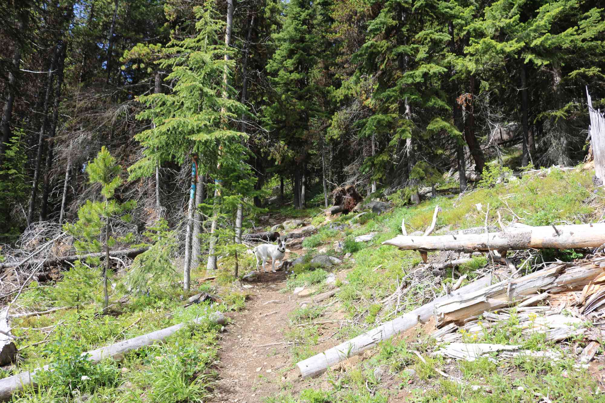
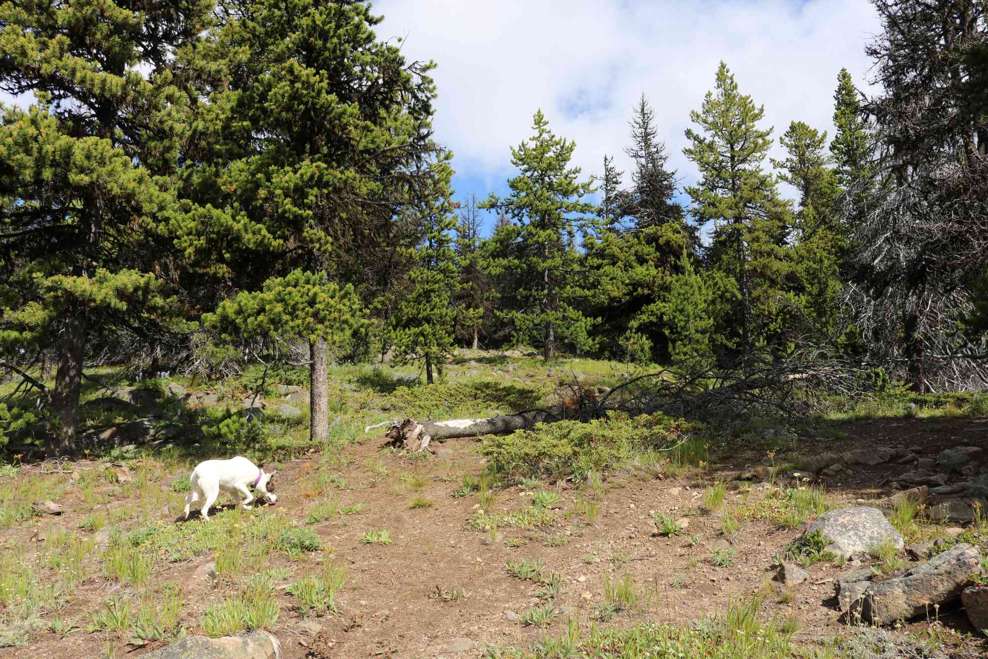
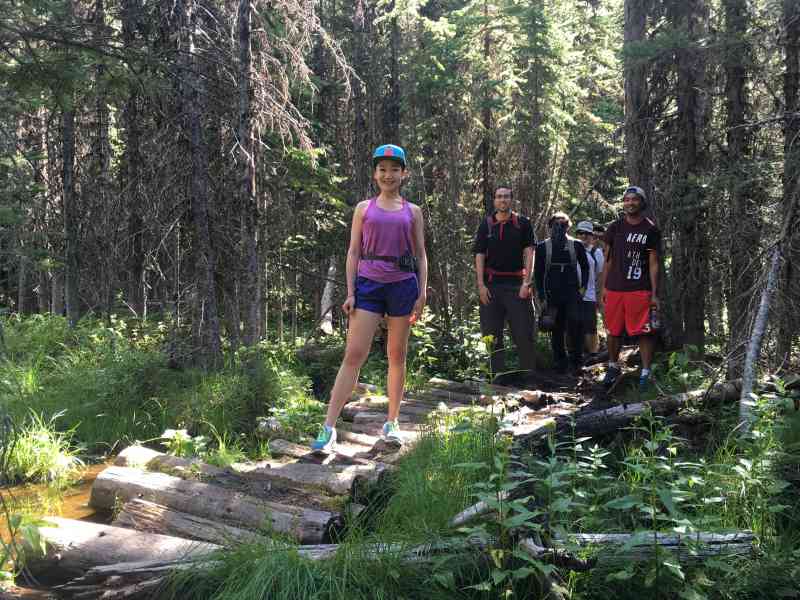
The trail up Brent Mountain begins as a nice meandering forest-way with cute stream crossings. This is a hike that is ideal for hotter months, as it remains moderately cool all throughout the summer! The lush and cozy sub alpine trail will offer a variety of unique foliage (Yarrow, Buttercups, Indian Paintbrush, mushrooms) in early summer after the snow clears. Prepare for a hefty set of mosquitos and mud, but a distraction that is easily ignored as you approach the summit with its broad meadows littered with smooth stones.
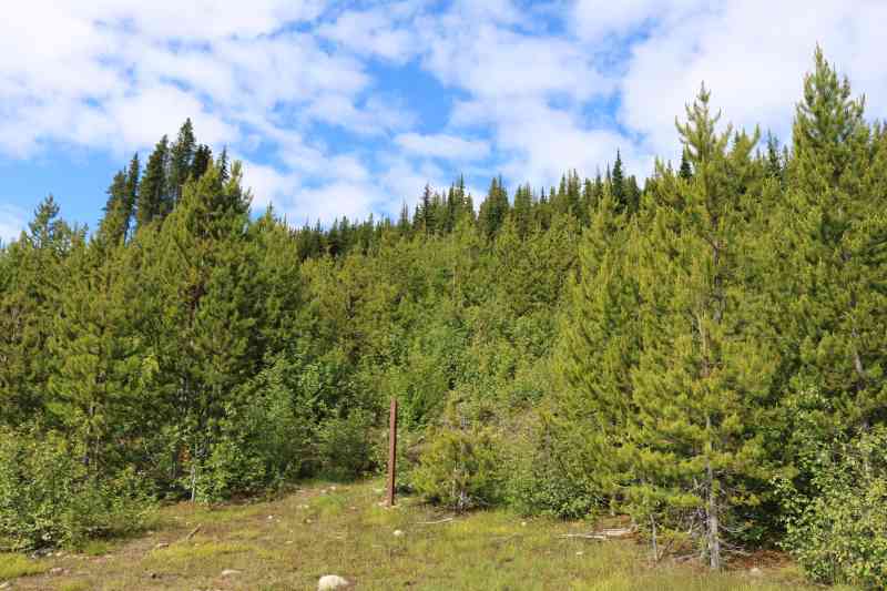
While the trail has numerous forks, the route to the top is clearly indicated by metal trail markers. The trail begins with a mild slope, and then mostly levels out for the next 2 km, and then the final ascent begins.
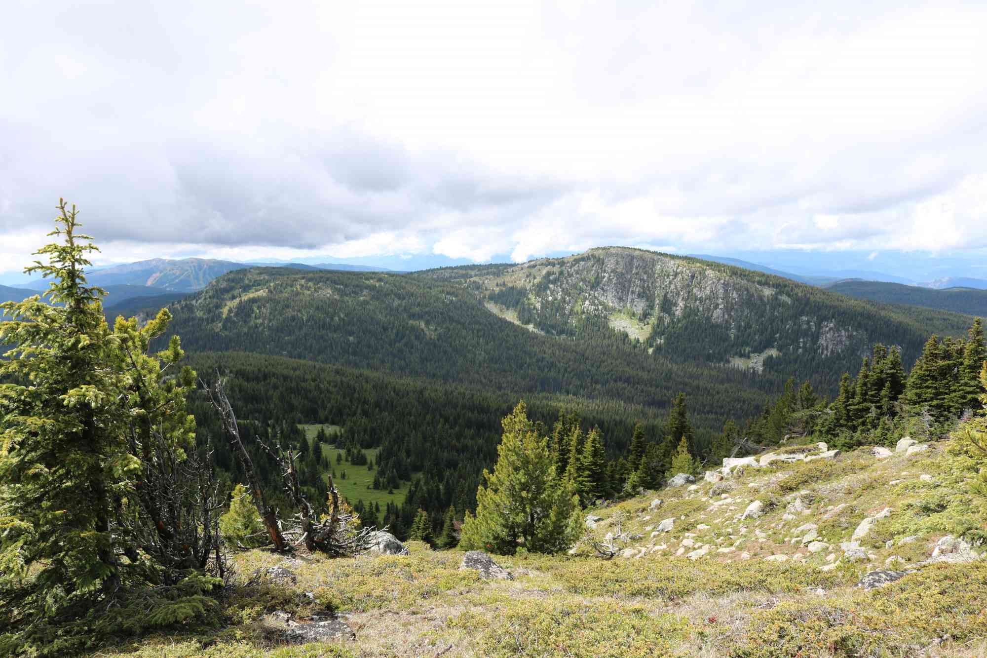
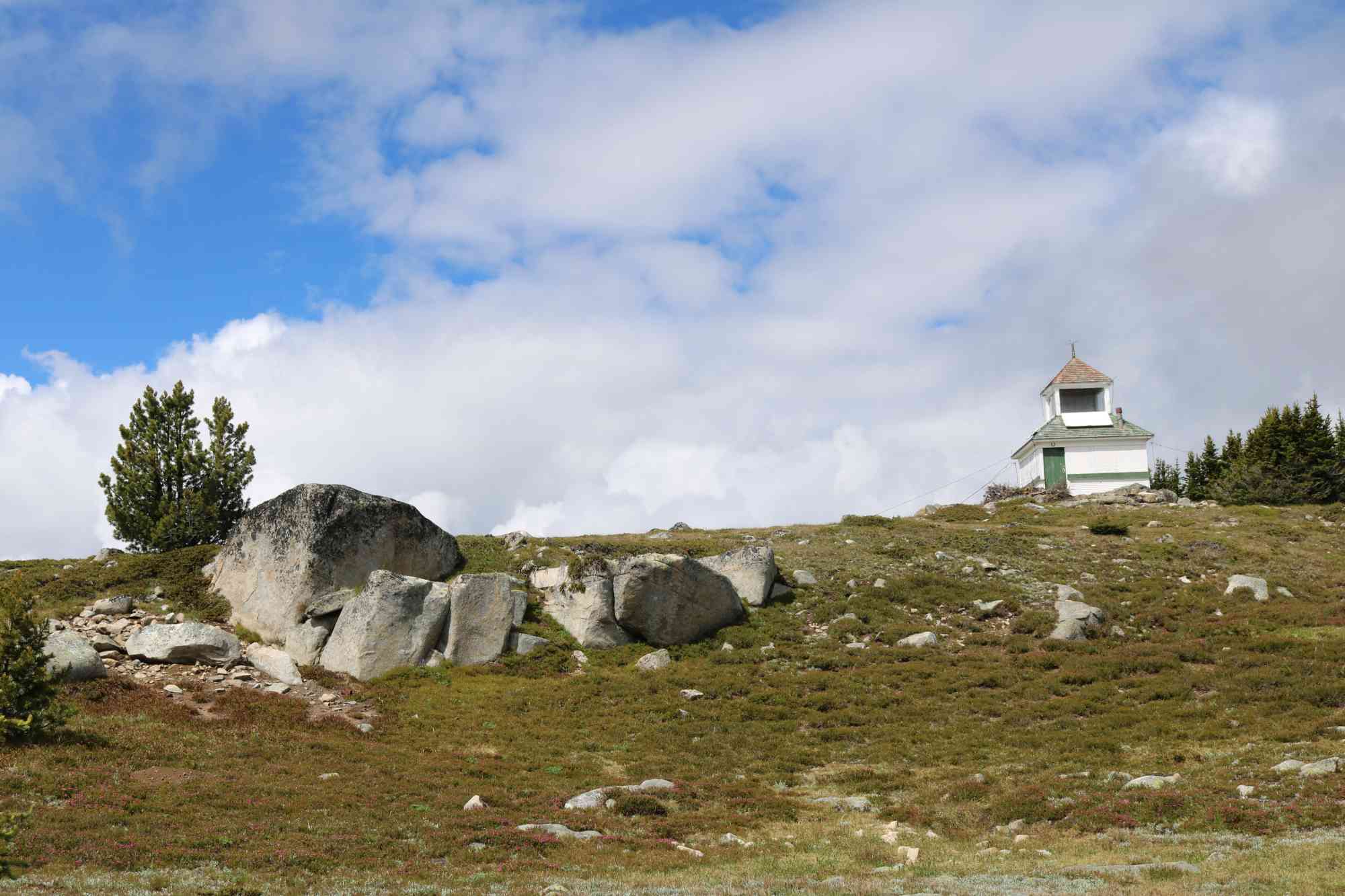
At the summit, reach an abandoned fire watch tower with surrounding panoramas of Apex Mountain, Summerland, and even hints of Kelowna on clearer days.

Route
Kids & Pets
Features
Address
Driving Time
From Penticton,BC, approximate travel time by car is 40 min.
Notable GPS Co-ordinates
Detailed Directions
Important: Allow about 1.75 - 2 hours driving time from Kelowna.
1. From Penticton, cross the channel at Fairview/Green Mountain Rd, and continue west.
2. Turn RIGHT after 20 km onto Apex Mtn Road. RESET ODOMETER.
3. Turn RIGHT after 4.1 km, and continue along the decommissioned forest service road (labelled as Shatford Rd). There are many trenches dug out of the road, so take care. While its possible to take a car, it's not recommended and a vehicle with 4x4ing and adequate clearance are highly encouraged. RESET ODOMETER AGAIN.
4. At 2.8 km, keep LEFT at fork with signs for Apex Mtn. As of 2016, apparently the bridge is out if you had gone right.
5. At 3.6 km, keep RIGHT.
6. At 4.9 km, keep RIGHT.
7. At 5.7 km, turn LEFT.
8. At 6 km, ignore fork to the left that goes off the side of the road.
9. At 6.1 km, optionally take Sheep Rock Trailhead.
10. At 7.4 km, keep LEFT.
11. At 7.9 km, keep LEFT with signs for Brent Mtn trailhead.
12. At 8.2 km, park and take trailhead up to the left.
Google Directions
Duration Calculator
The metrics for this trail have been converted to round-trip formation for distance and elevation gain/descent if necessary.
We have a downloadable GPS map for this trail!
Last Updated on Sunday, January 26, 2025
Need help using it? See our FAQ.
Hi interested in going on this hike but need a ride. Thanks
Sunday, July 24, 2016 at 2:17 PMThe road up is rough and trenches are deep but it was entirely passable IF your vehicle has high clearance. The wildflowers were gorgeous! A worthwhile hike with views all the way to Kelowna.
Monday, July 1, 2019 at 5:59 PMLeave a comment
You must Login to post a comment!