
Campbell Mountain: Perimeter Loop
Campbell Mountain: Perimeter Loop
Penticton
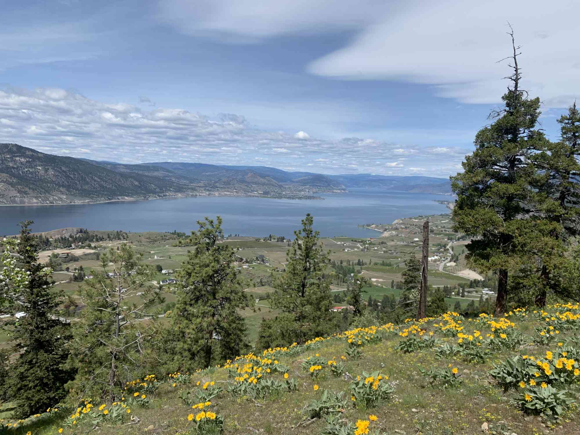
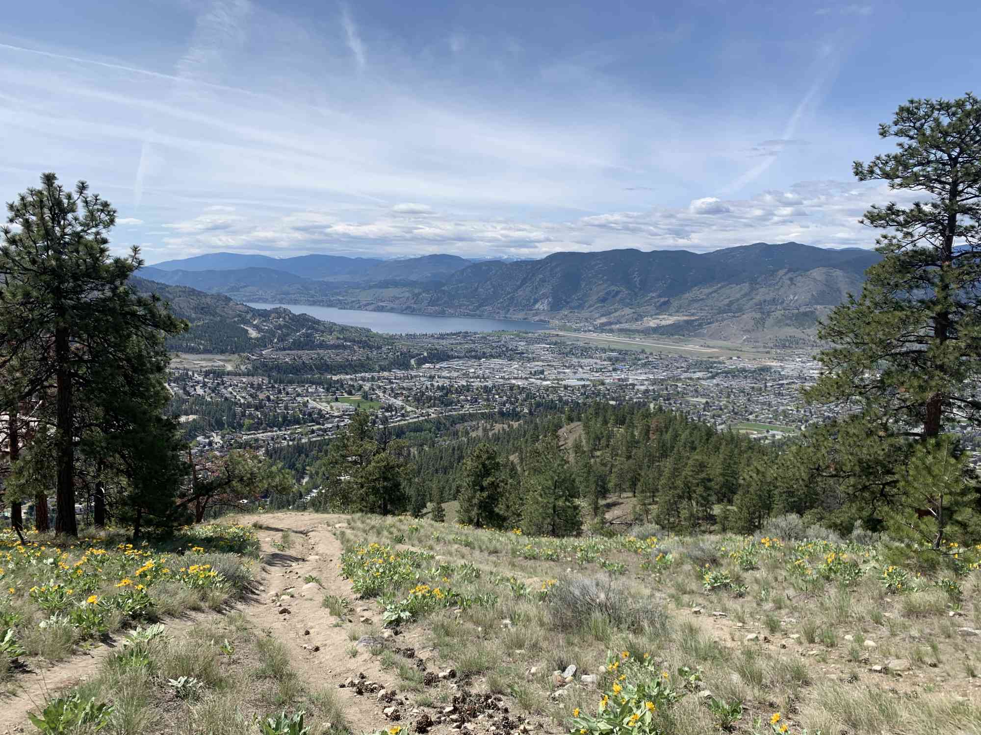
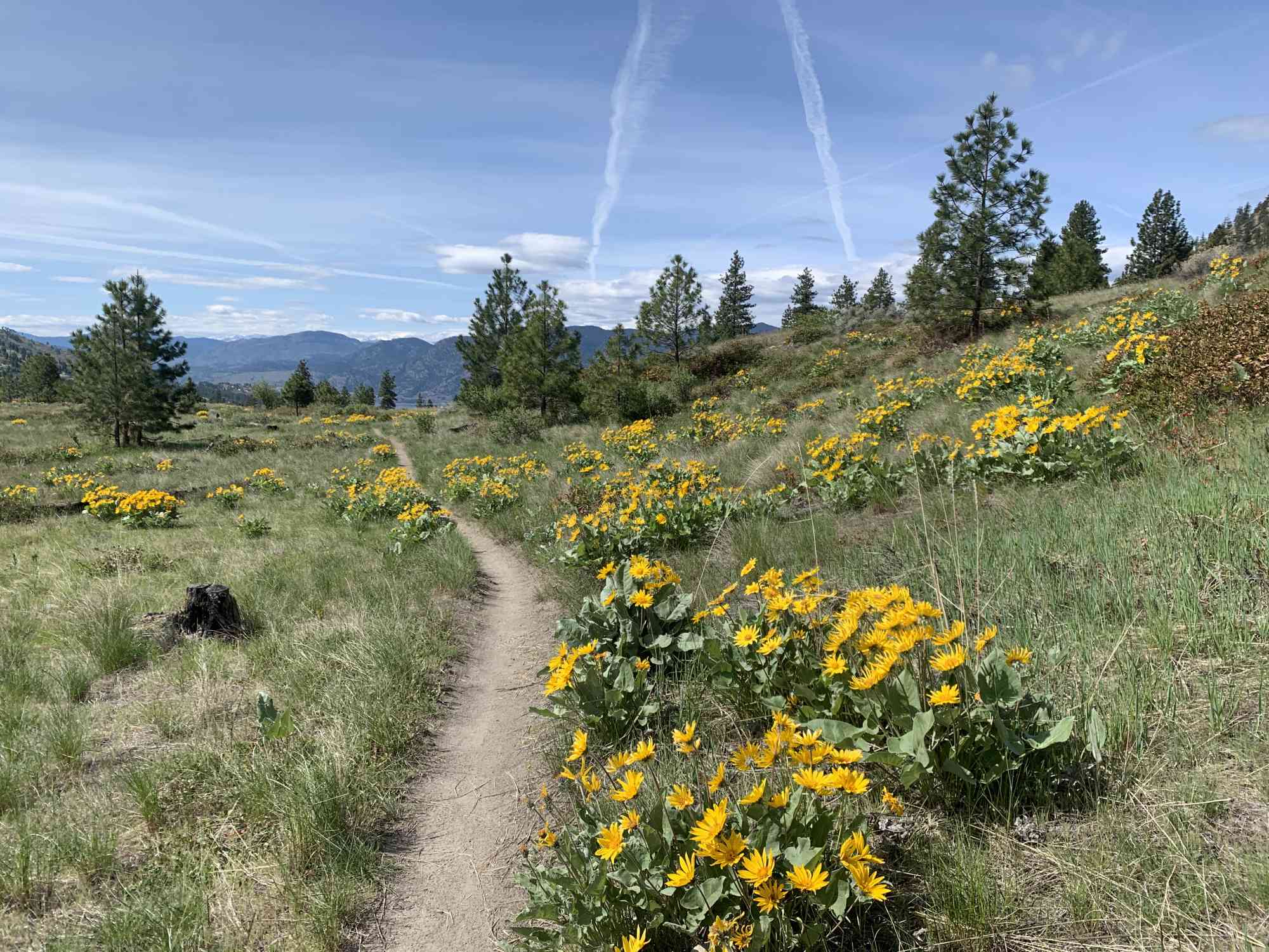
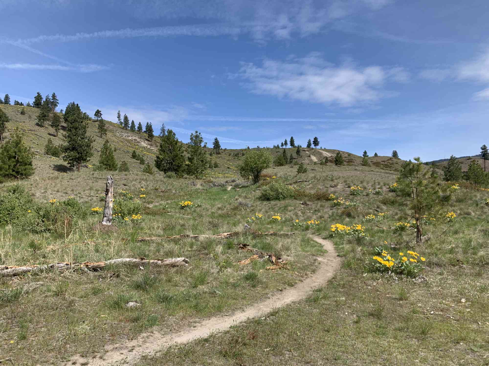
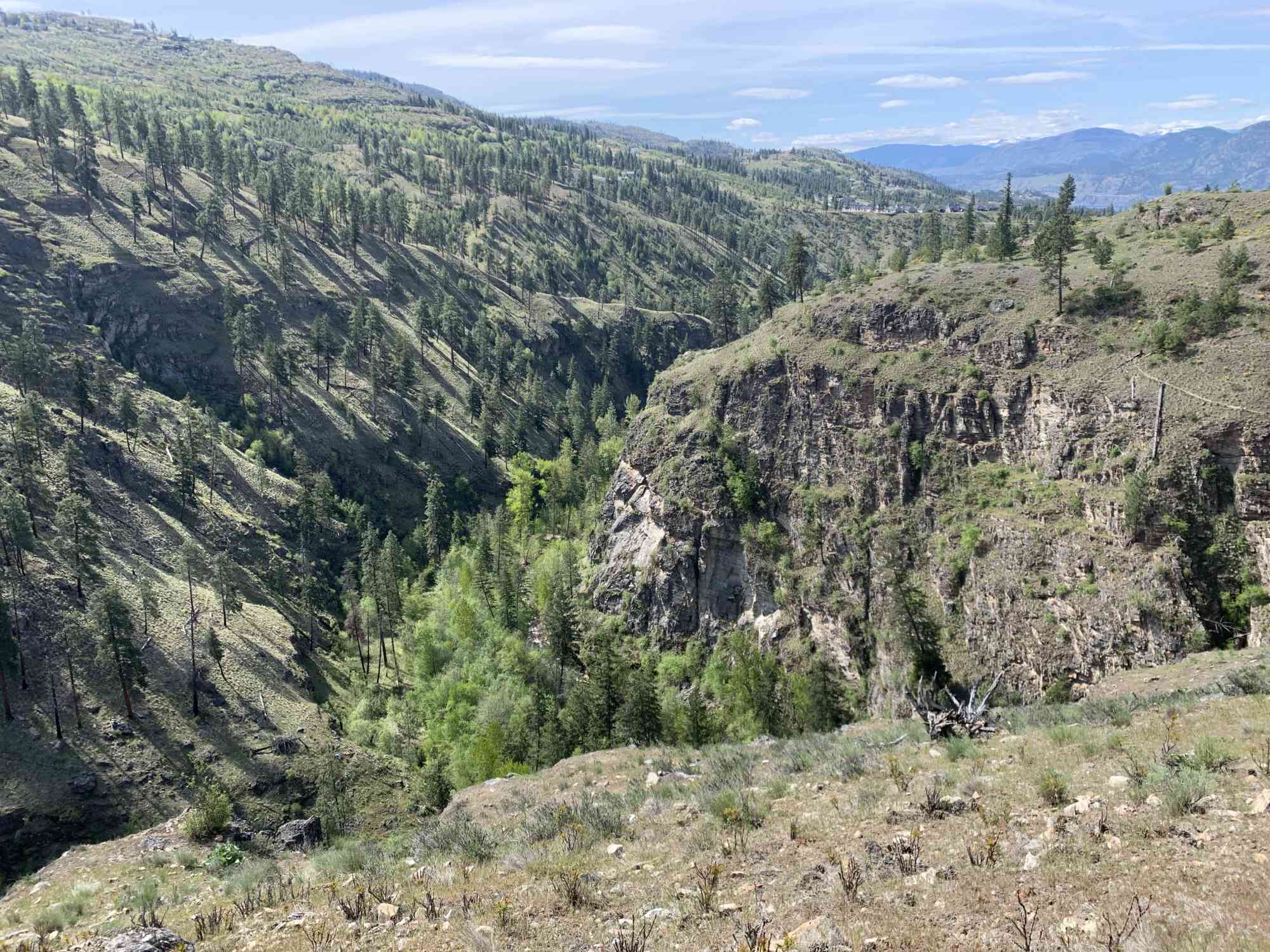
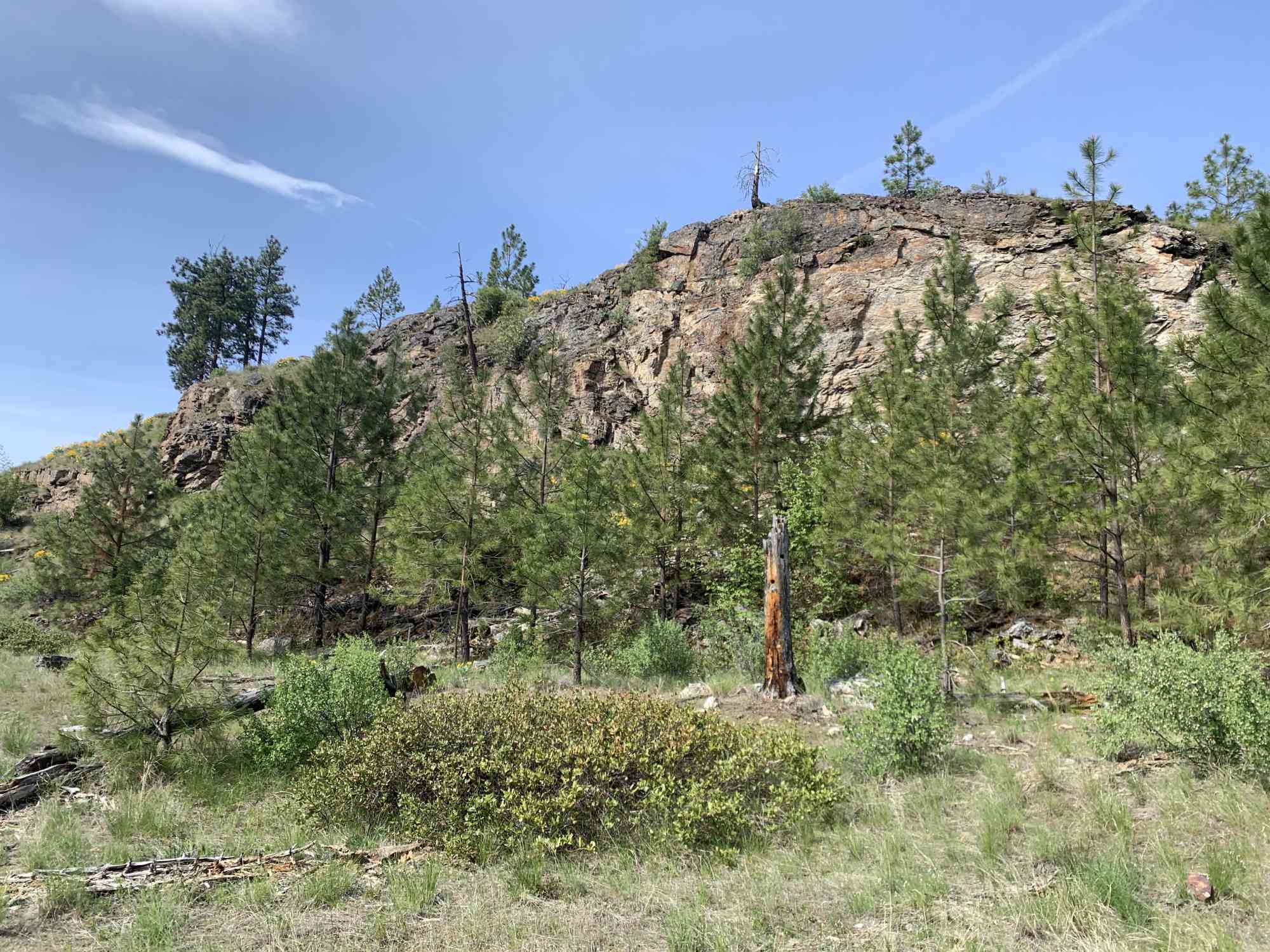
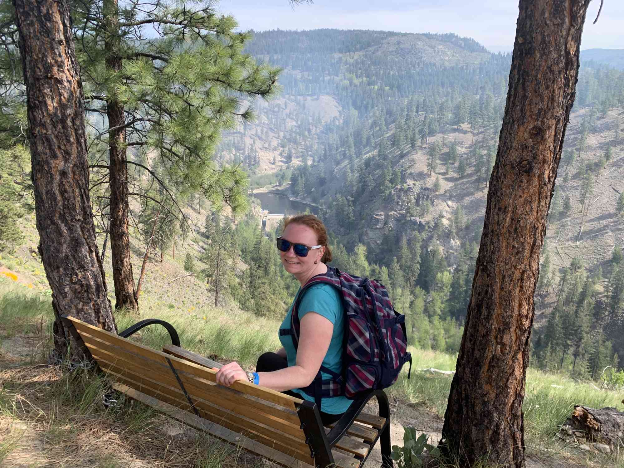
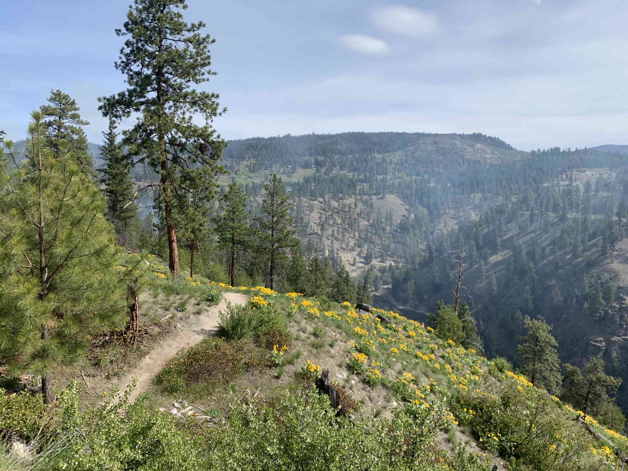
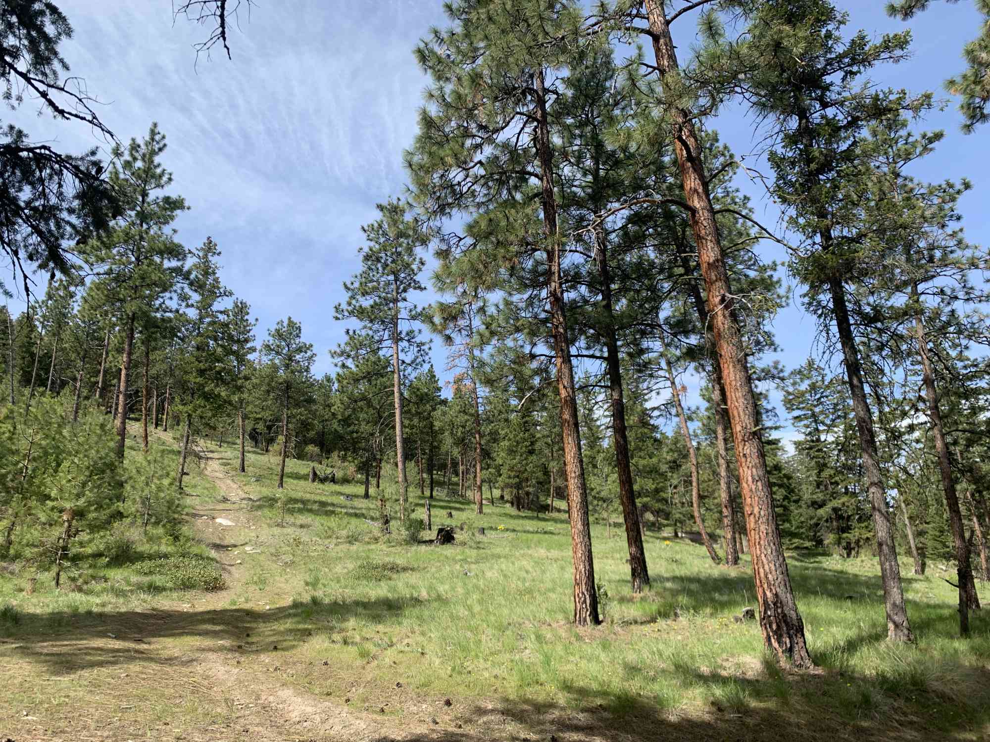
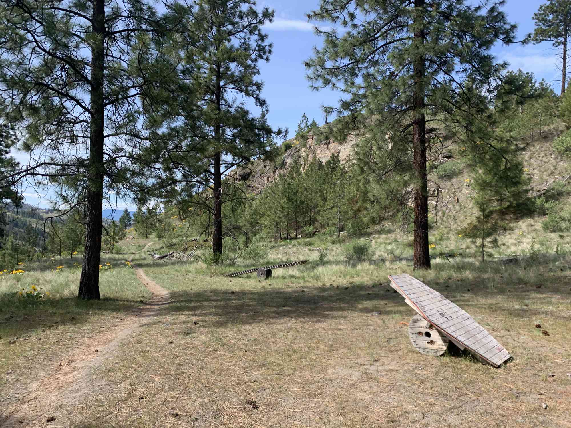
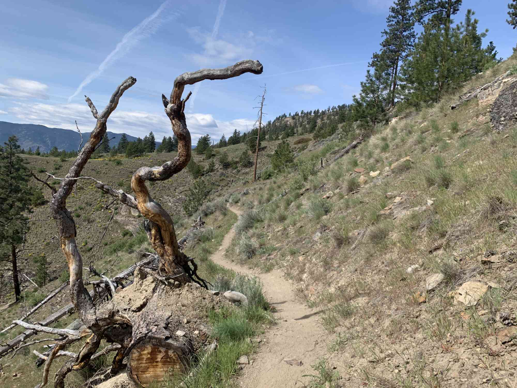
This trail network offers spectacular views of both Skaha and Okanagan Lakes while perched overlooking Penticton. This vast trail network is ideal for mountain bikers, but can be disorientating to follow without a GPS log. This particular route is the best way to enjoy all of the highlights the trail has to offer. Starting off as a more or less flat meander through arrow-leaf balsam root meadows, ascend the south side of the mountain pas the cell tower heading north back to the parking lot.
Route
Kids & Pets
Features
Address
Driving Time
From Downtown Kelowna, approximate travel time by car is 1 hr.
Notable GPS Co-ordinates
Detailed Directions
1) Drive to Penticton, and as entering town turn LEFT onto Westminster Ave W
2) Continue as it becomes Front St
3) At the roundabout, take the 2nd exit onto Vancouver Ave
4) Continue as it becomes Lower Bench Rd
5) Turn right onto Tupper Ave
6) Continue as it becomes Middle Bench Rd
7) Continue as it becomes Munson Ave
8) Continue as it becomes Upper Bench Rd N
9) Continue straight as it becomes McMillan Ave
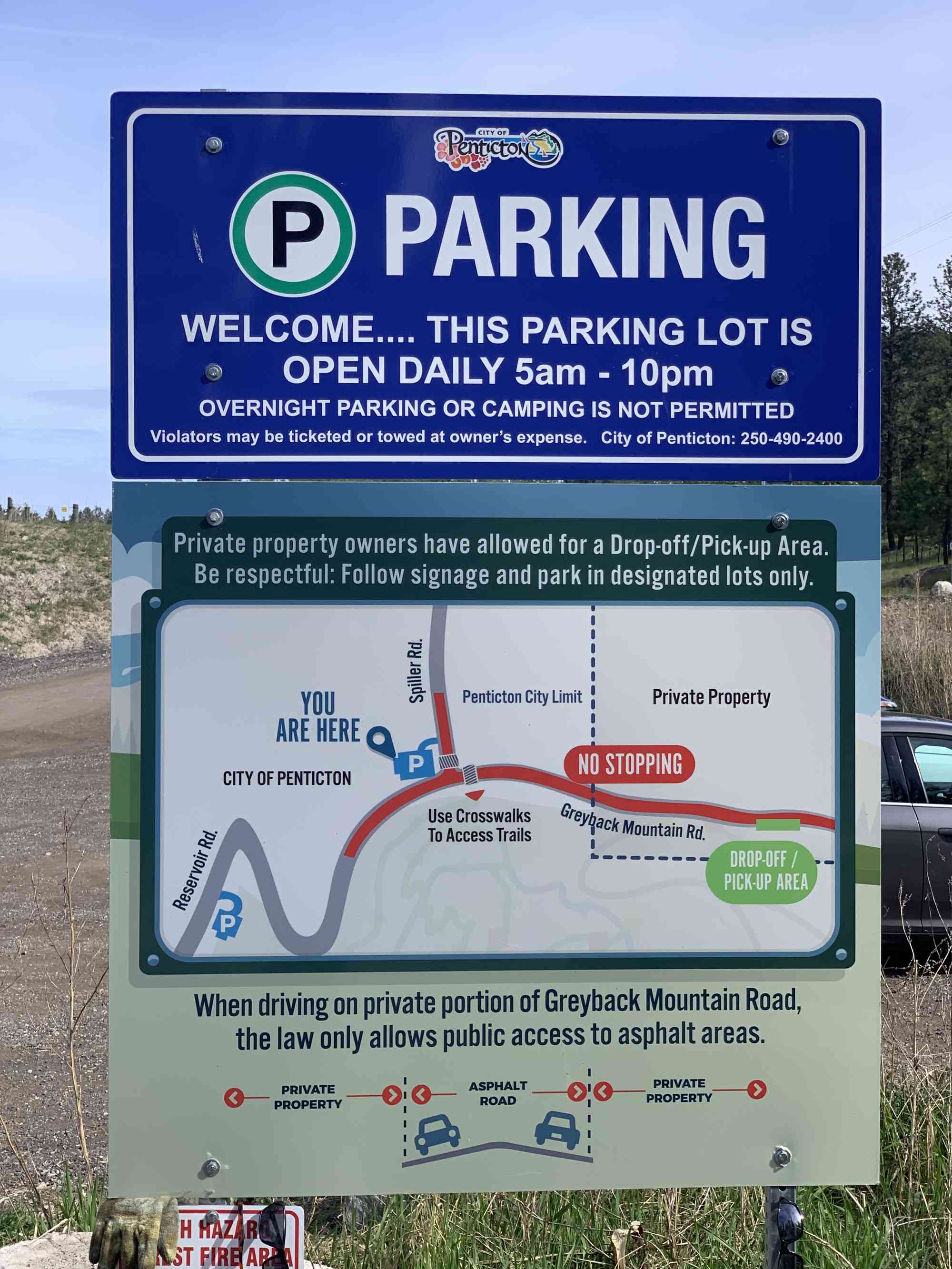
10) Turn right onto Reservoir Rd
11) It will become Greyback Mountain Rd. Park at the official parking lot on the left side of the road almost 2 km up from the last turn.
Google Directions

Duration Calculator
The metrics for this trail have been converted to round-trip formation for distance and elevation gain/descent if necessary.
We have a downloadable GPS map for this trail!
Last Updated on Sunday, January 26, 2025
Need help using it? See our FAQ.
Leave a comment
You must Login to post a comment!