
Canyon Falls via Canyon Falls Ct
Canyon Falls via Canyon Falls Ct
Crawford
22 min from Downtown Kelowna
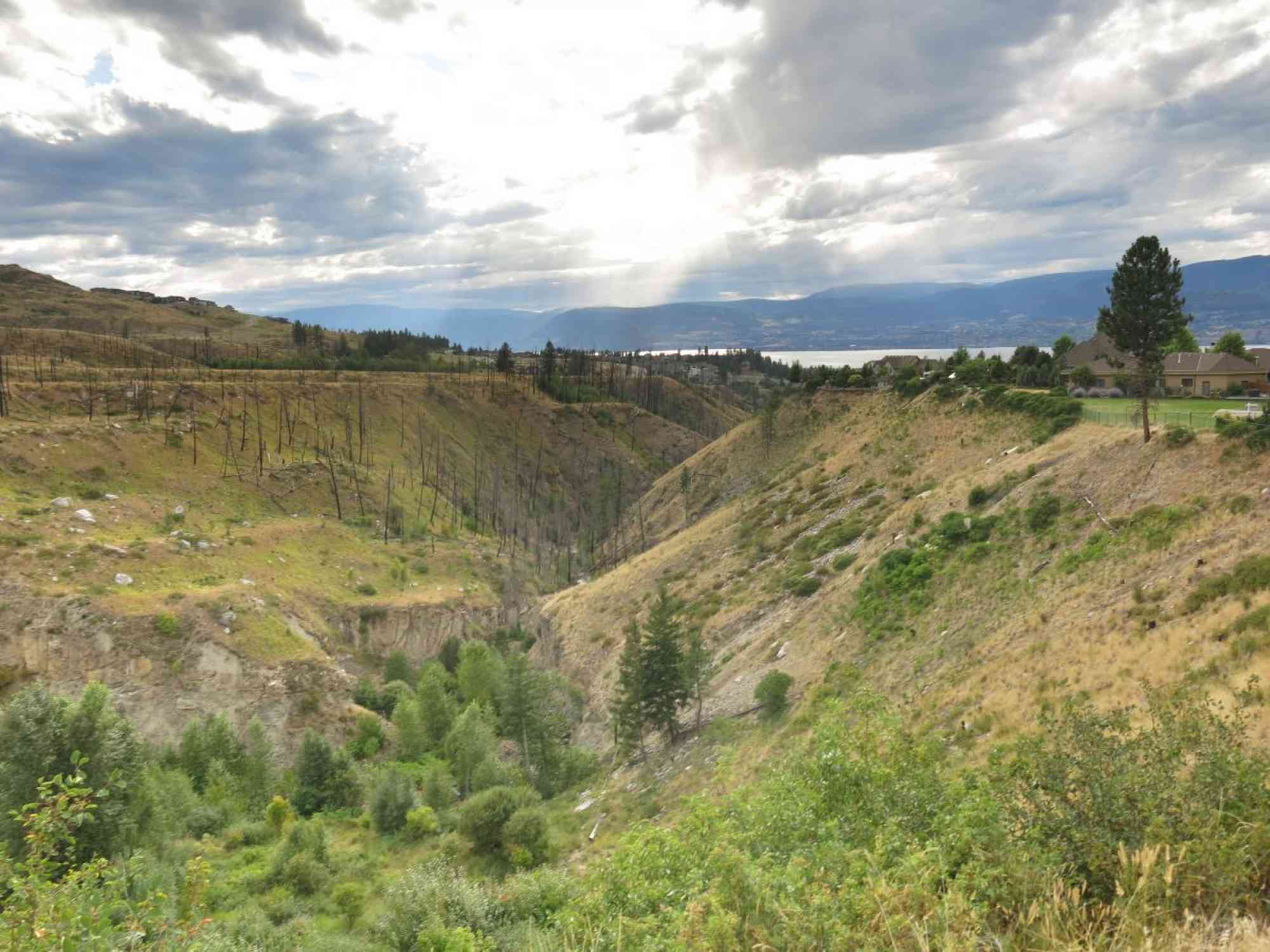
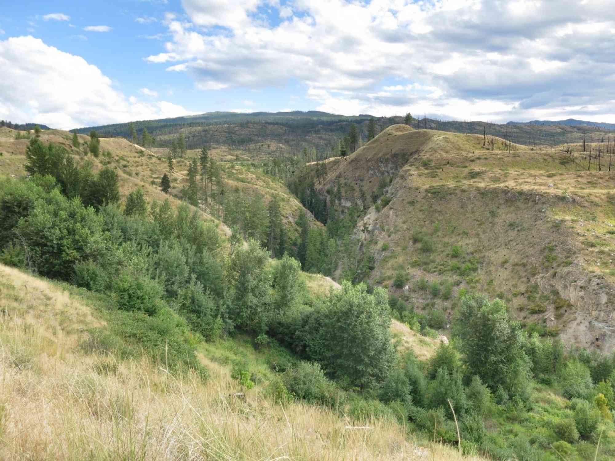
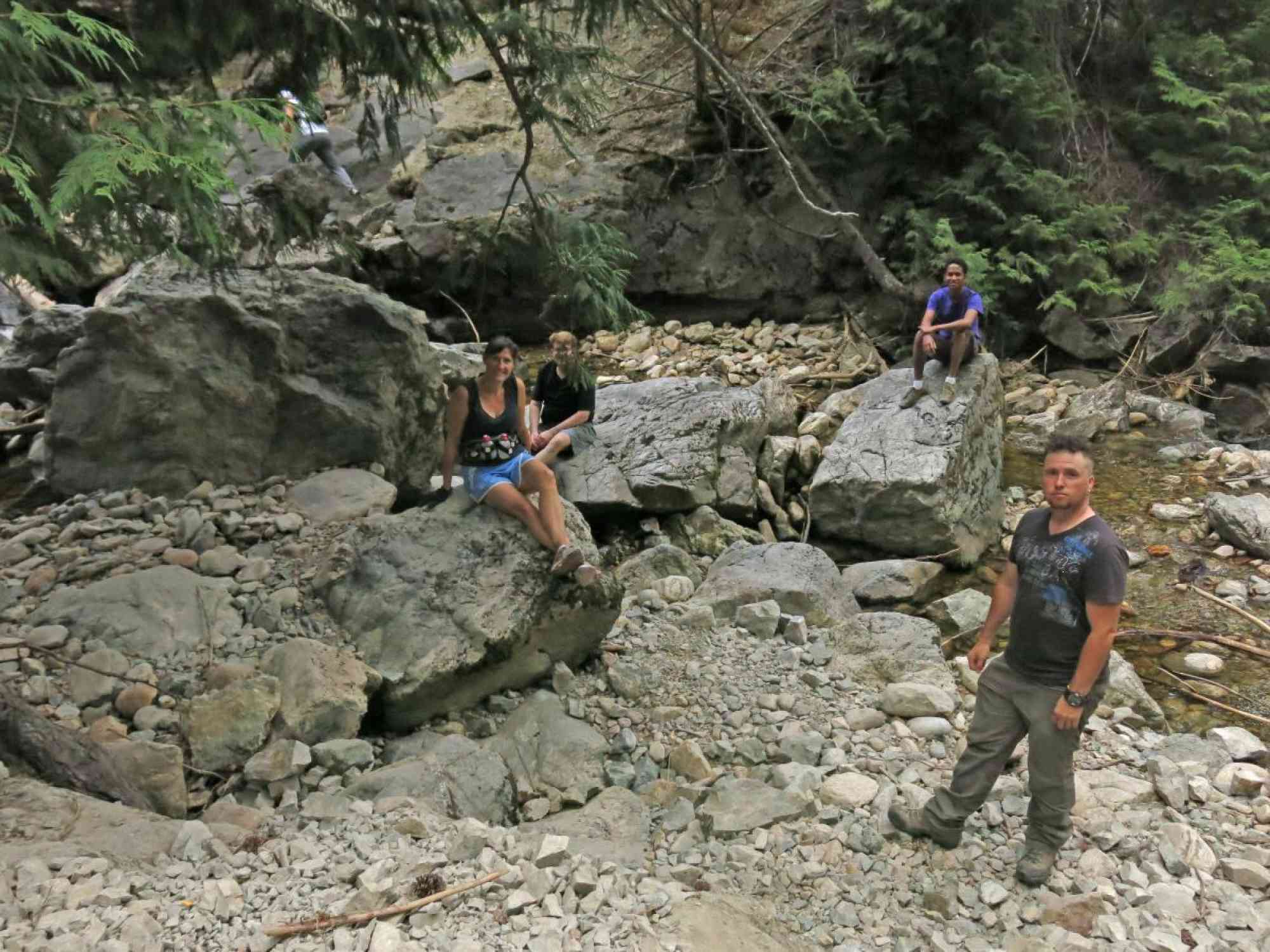
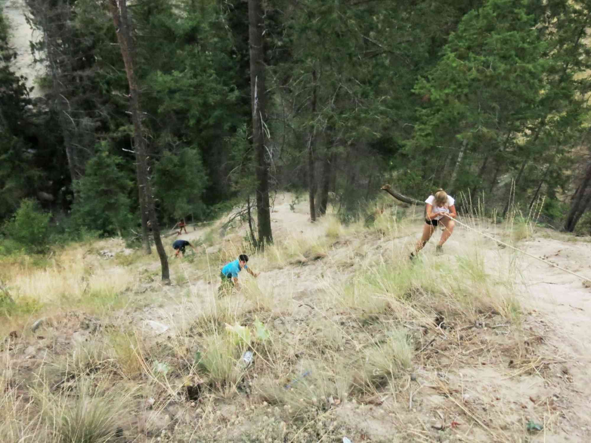
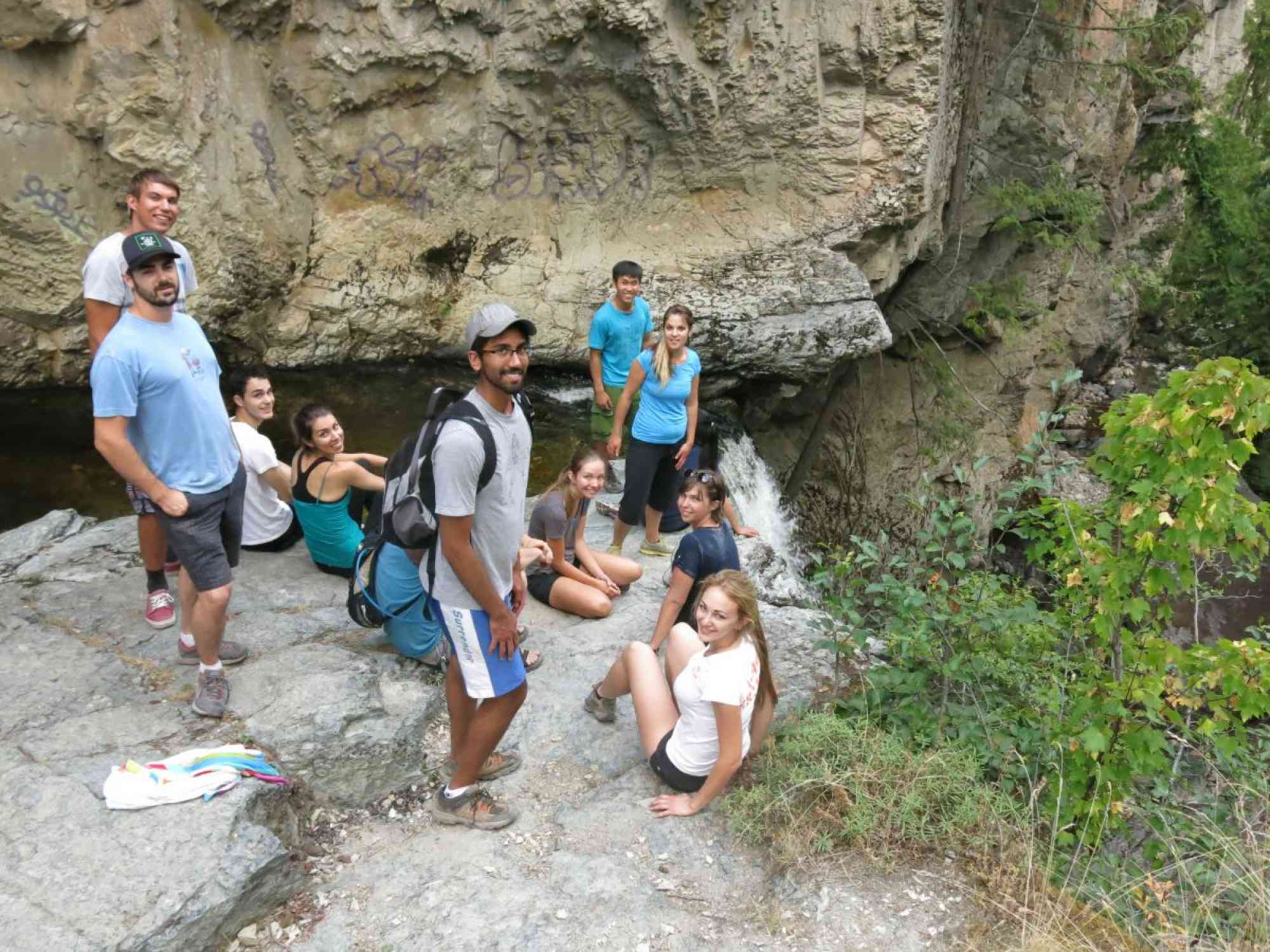
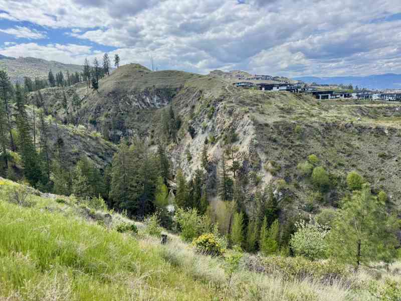
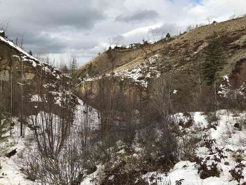
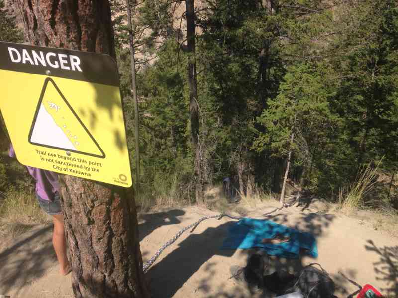
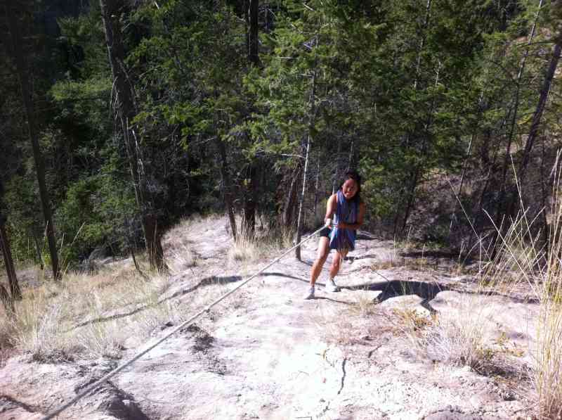
1845 Canyon Falls Ct, Kelowna, BC V1W 4A2Crawford/Canyon falls is an absolute gem of Kelowna and is a must-see for everyone. Prior to the end of Summer 2014, this trail required a very steep descent down ropes. However, the City of Kelowna has gone in and completely revamped the trail. It is now substantially less steep and doesn't require any ropes. Though, due to flooding in 2017, the trail was closed due to instability of the cliffside. It remains closed now in July 2018.
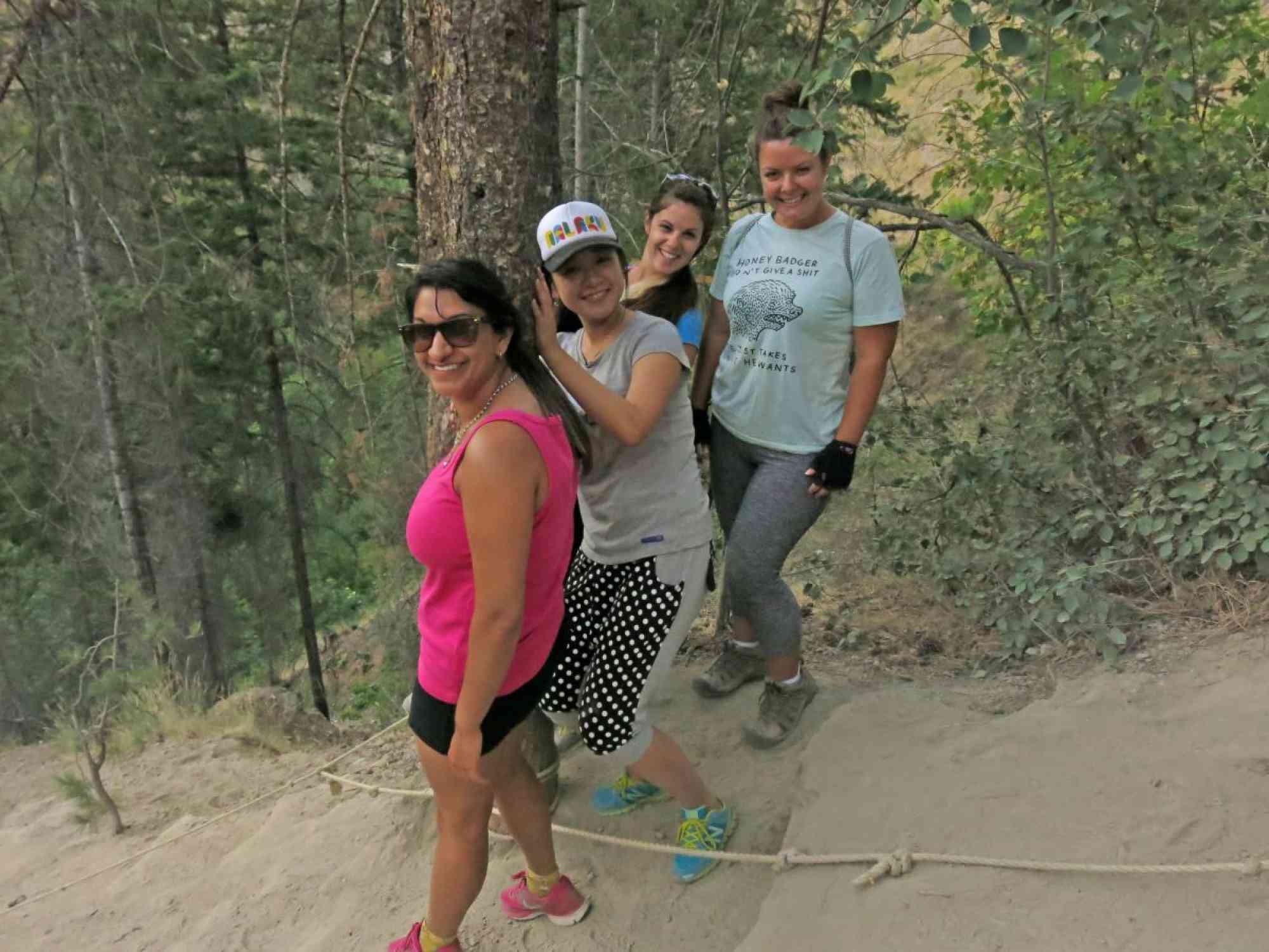
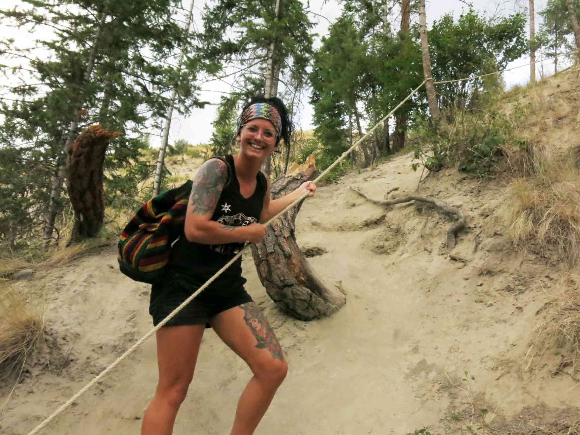
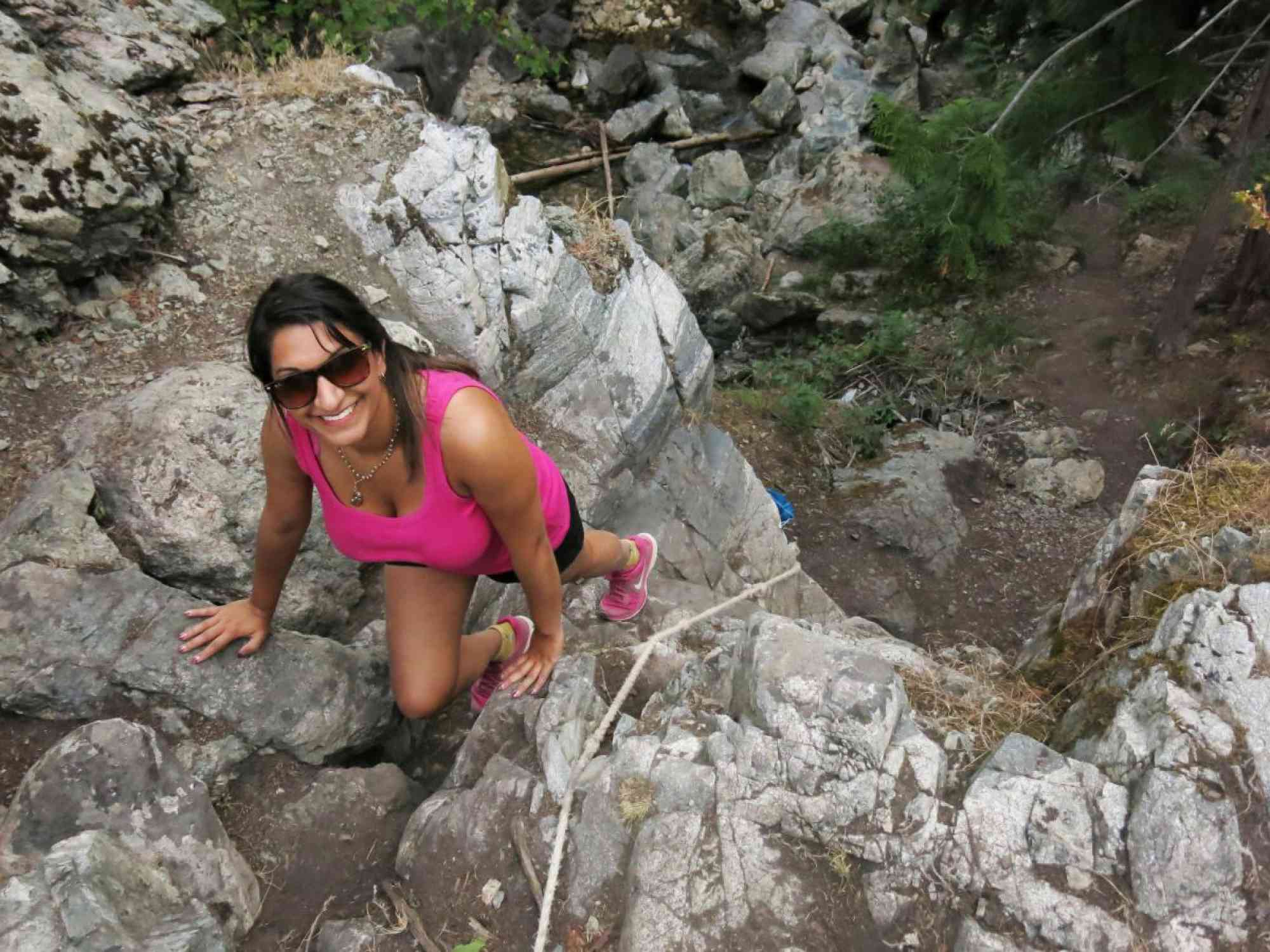
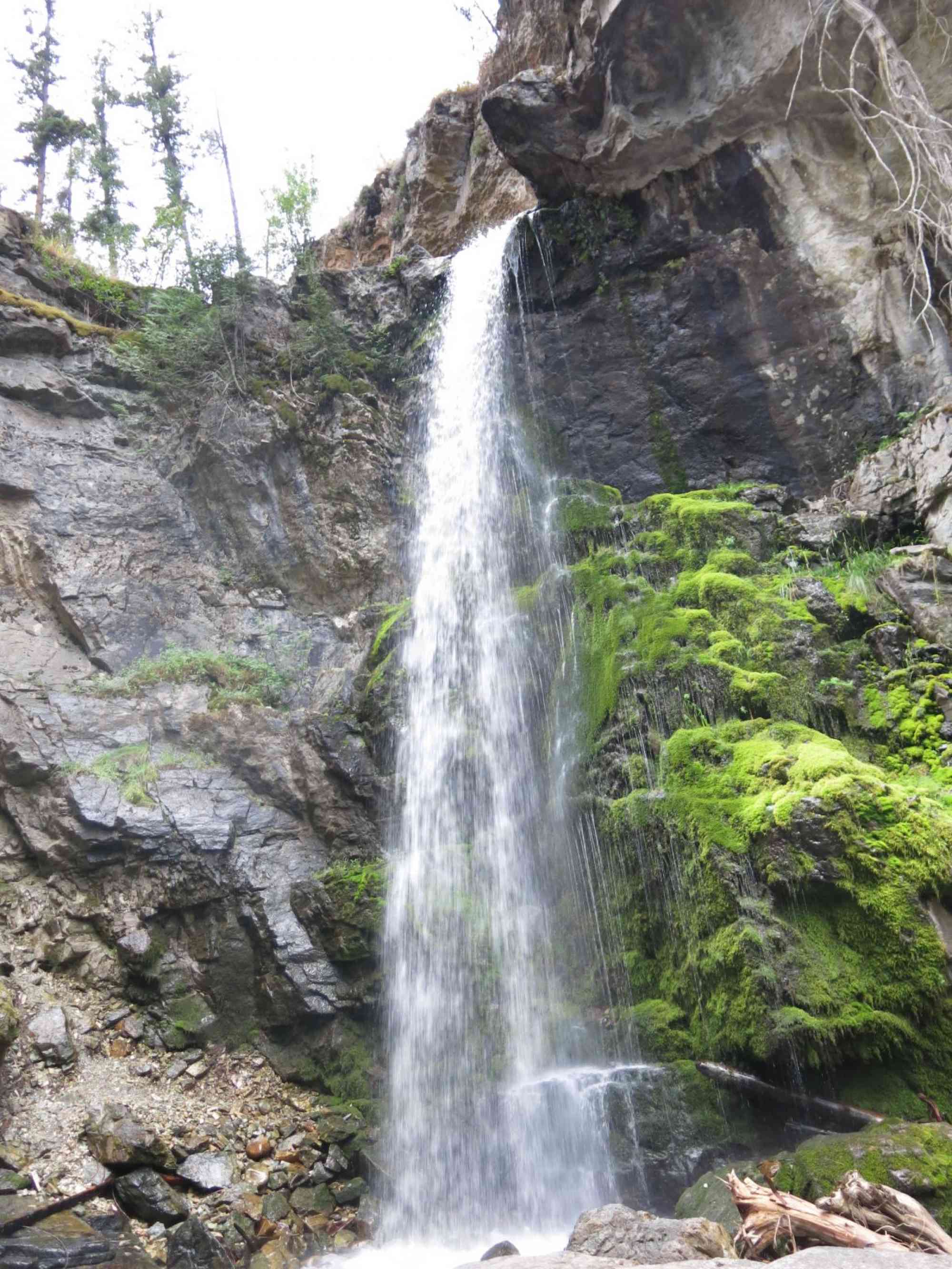
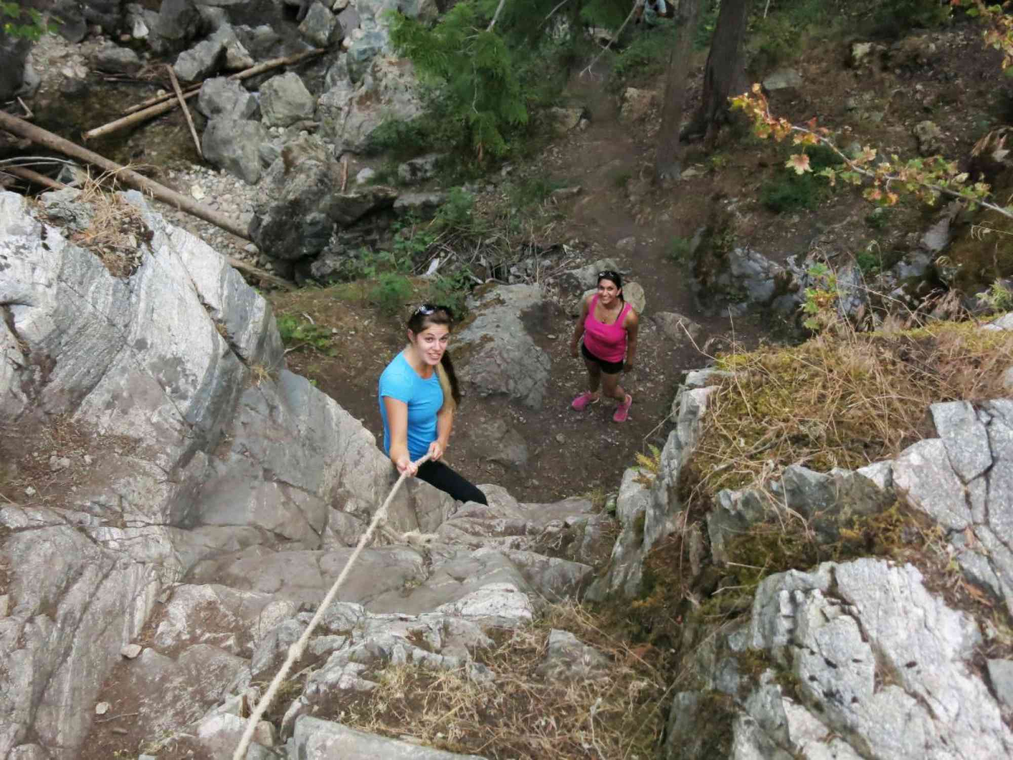
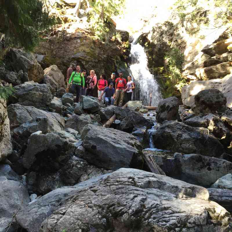
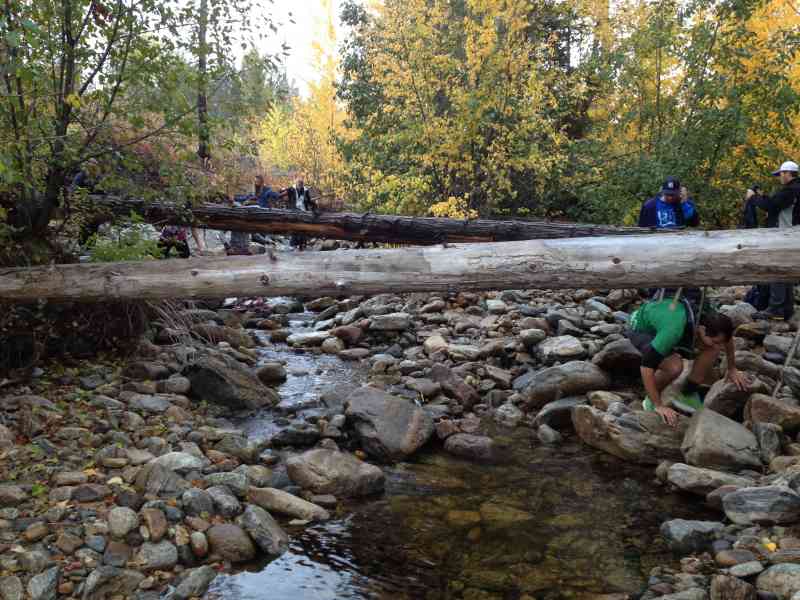
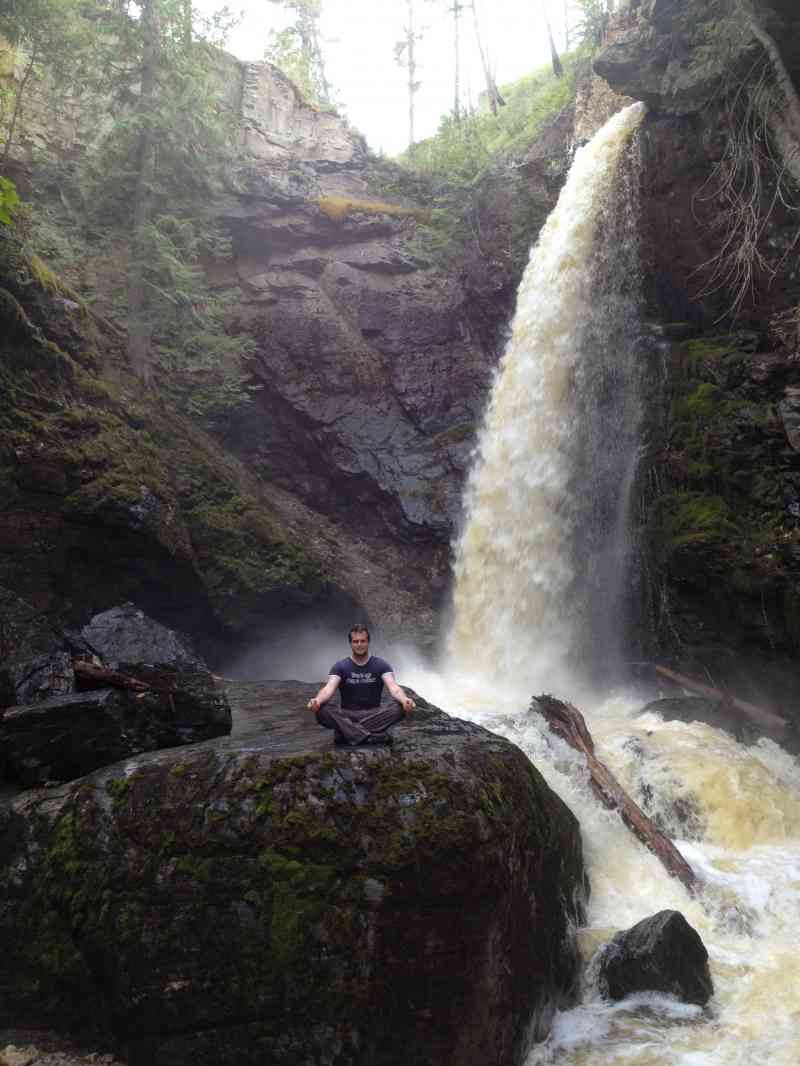
After arriving at the first waterfall, continue up the boulder in-front of you (unfortunately the ropes have been removed), and continue walking along the river for another 100 meters or so. This will take you to the bigger waterfall. The top of this final waterfall can also be accessed via a short rope descent further down the trail at the top of the hill.
After arriving at the first waterfall, continue up the boulder in-front of you (unfortunately the ropes have been removed), and continue walking along the river for another 100 meters or so. This will take you to the bigger waterfall. The top of this final waterfall can also be accessed via a short rope descent further down the trail at the top of the hill.
Route
Kids & Pets
Features
Address
Driving Time
From Downtown Kelowna, approximate travel time by car is 22 min.
Notable GPS Co-ordinates
Detailed Directions
2) Turn RIGHT on Gordon
3) Turn LEFT on Casorso
4) Continue through the first round-a-bout to stay on Casorso
5) Continue through the second round-a-bout to turn onto Swamp Rd.
6) Turn LEFT on DeHart
7) Turn RIGHT on Crawford Rd
8) Turn RIGHT on West Ridge Dr
9) Turn RIGHT on Canyon Ridge Cres
10) Turn RIGHT on Canyon Falls Court.
11) Park at the end of the cul-de-sac and follow the dirt trail.
Google Directions

Linear Trail
Duration Calculator
The metrics for this trail have been converted to round-trip formation for distance and elevation gain/descent if necessary.
Estimated Time:
-- hours
We have a downloadable GPS map for this trail!
Last Updated on Sunday, January 26, 2025
Need help using it? See our FAQ.Map Waypoints
GPS Notes
Leave a comment
You must Login to post a comment!