
Carmi Exterior Loop
Carmi Exterior Loop
Penticton
20 min from Penticton, BC
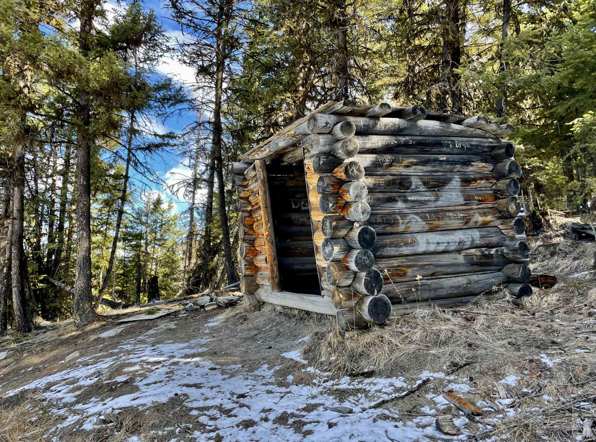
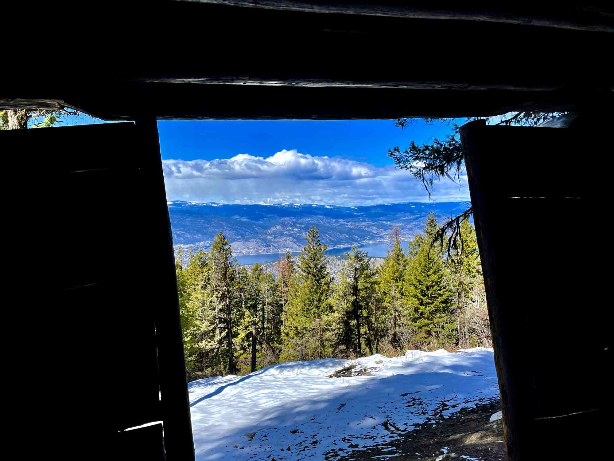
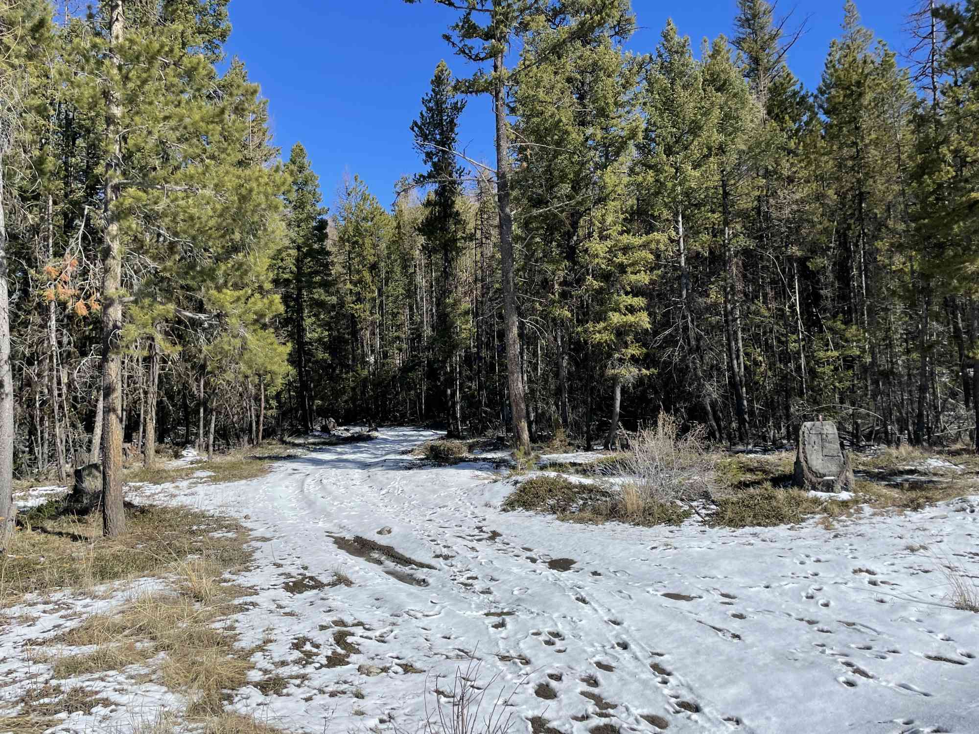
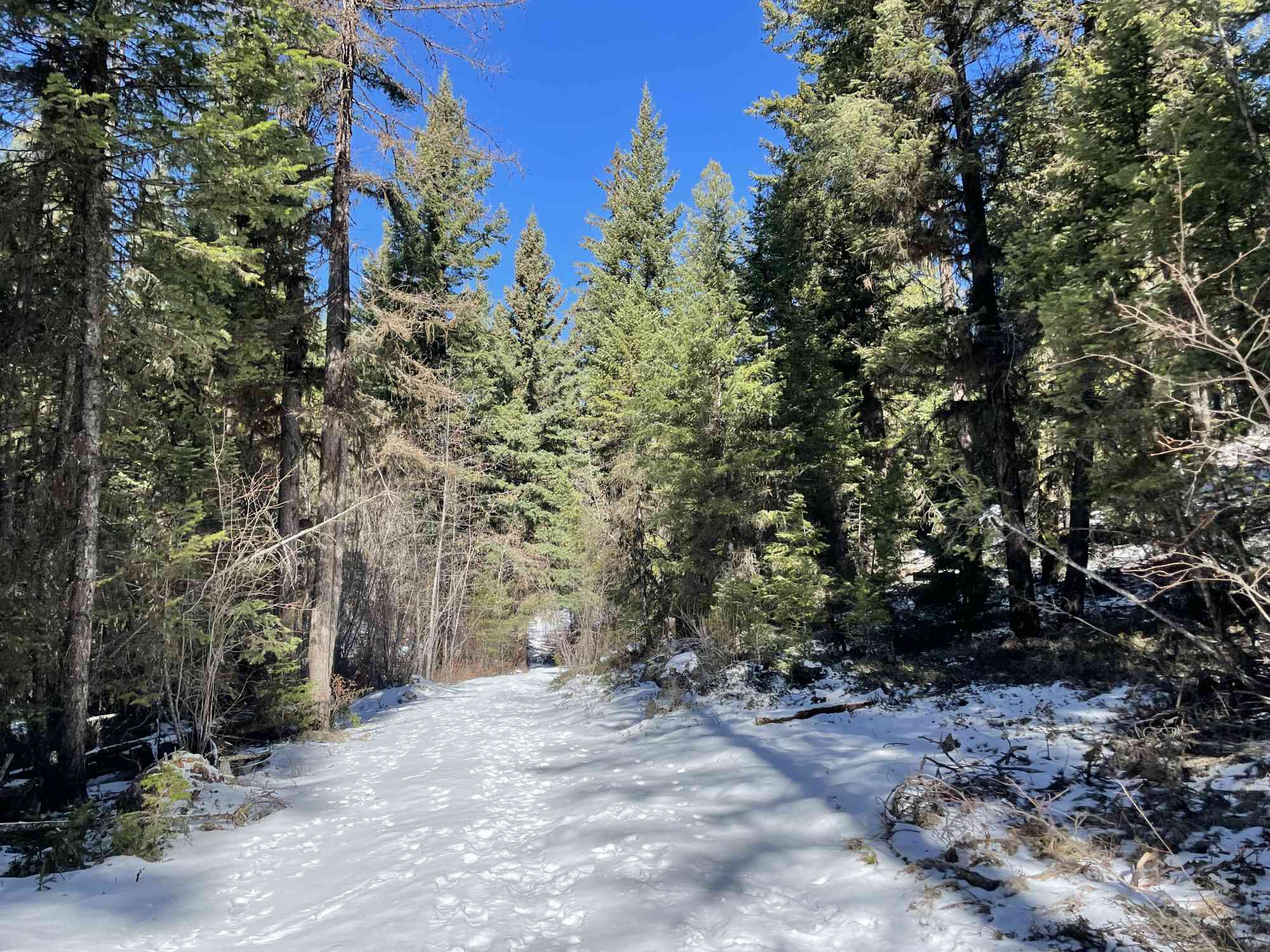
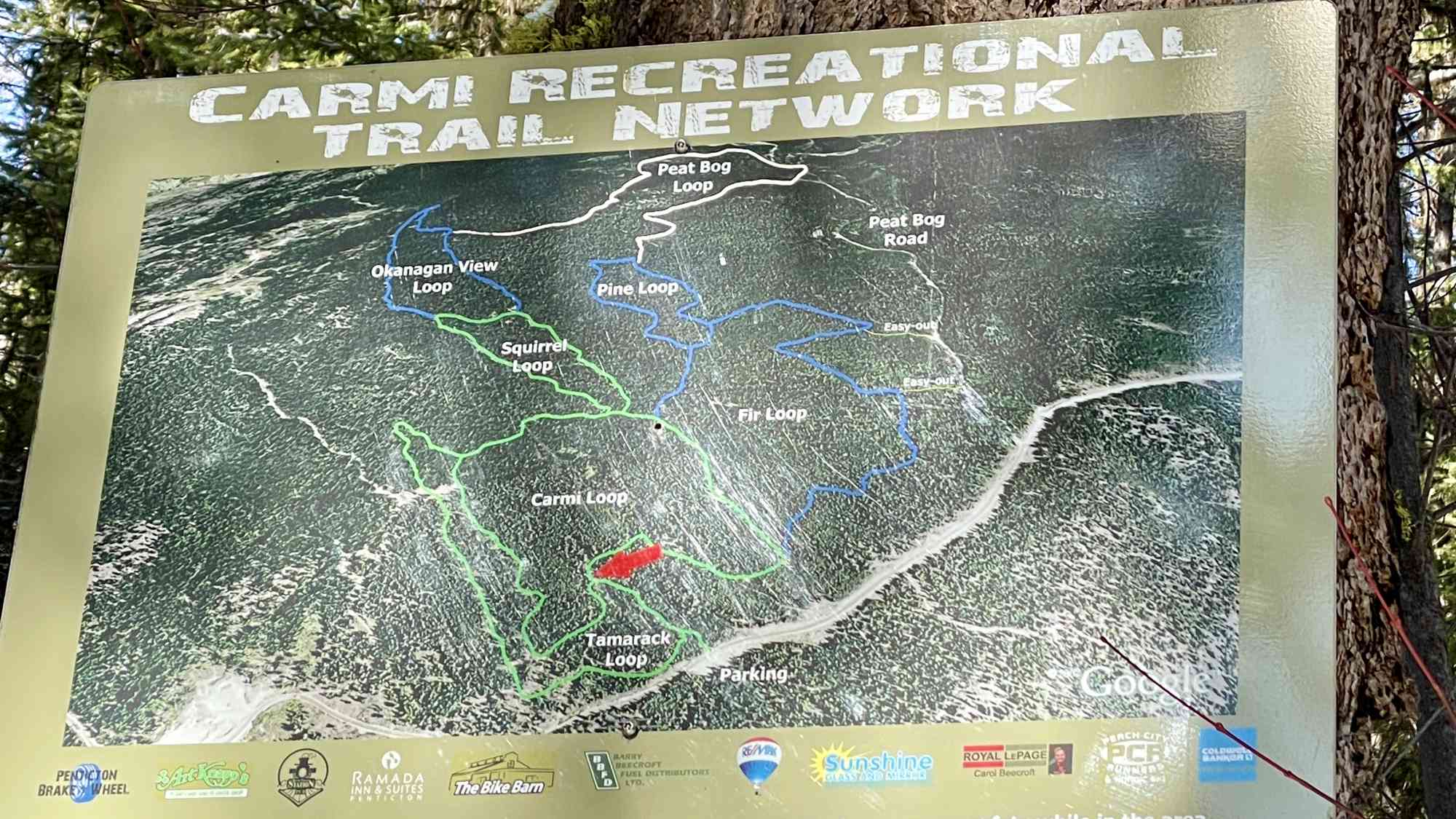
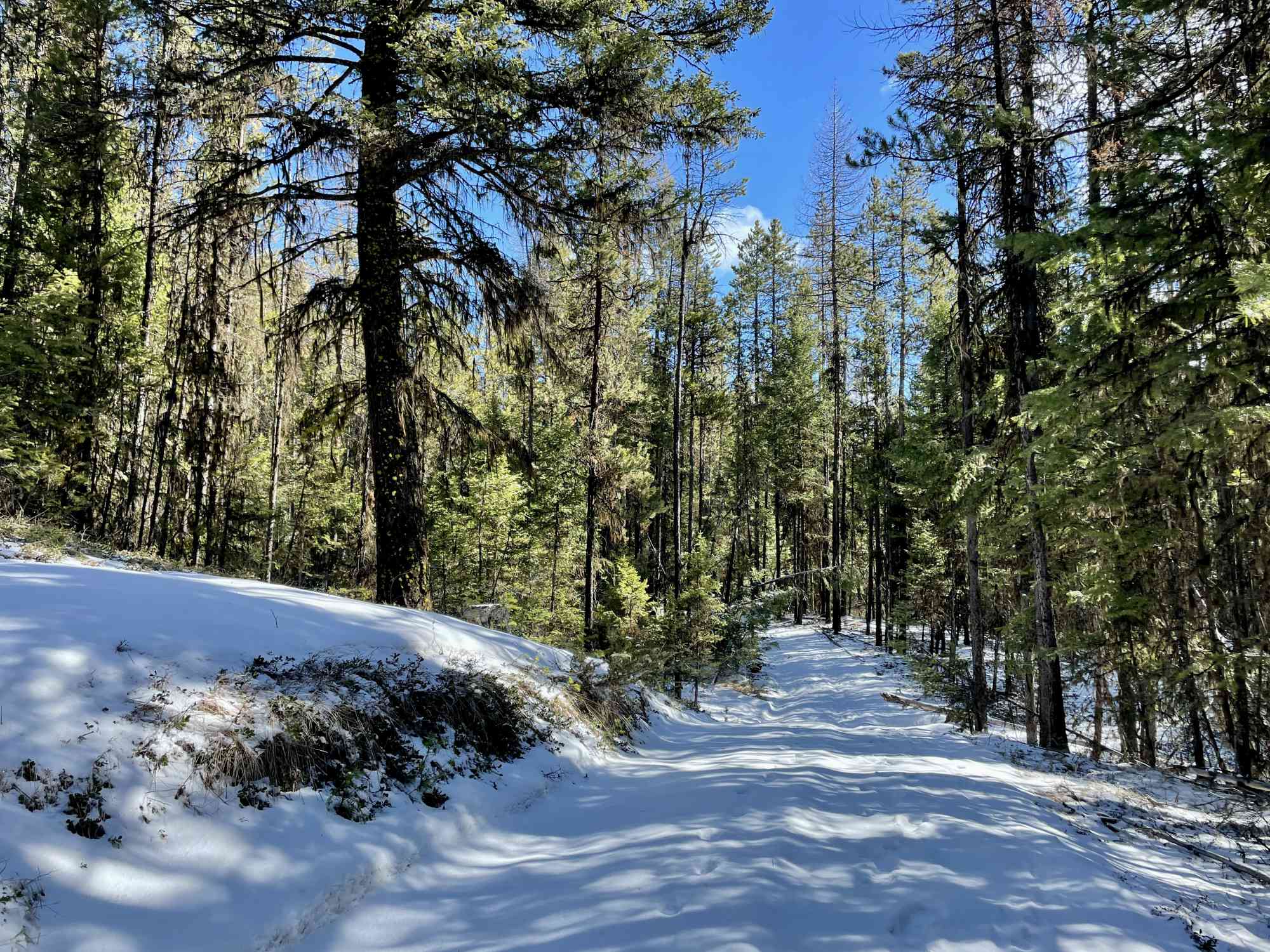
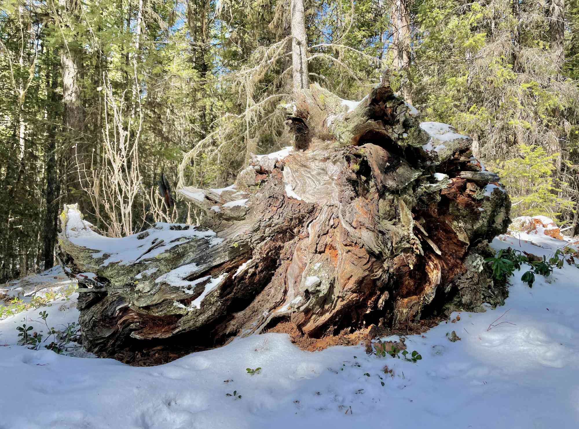
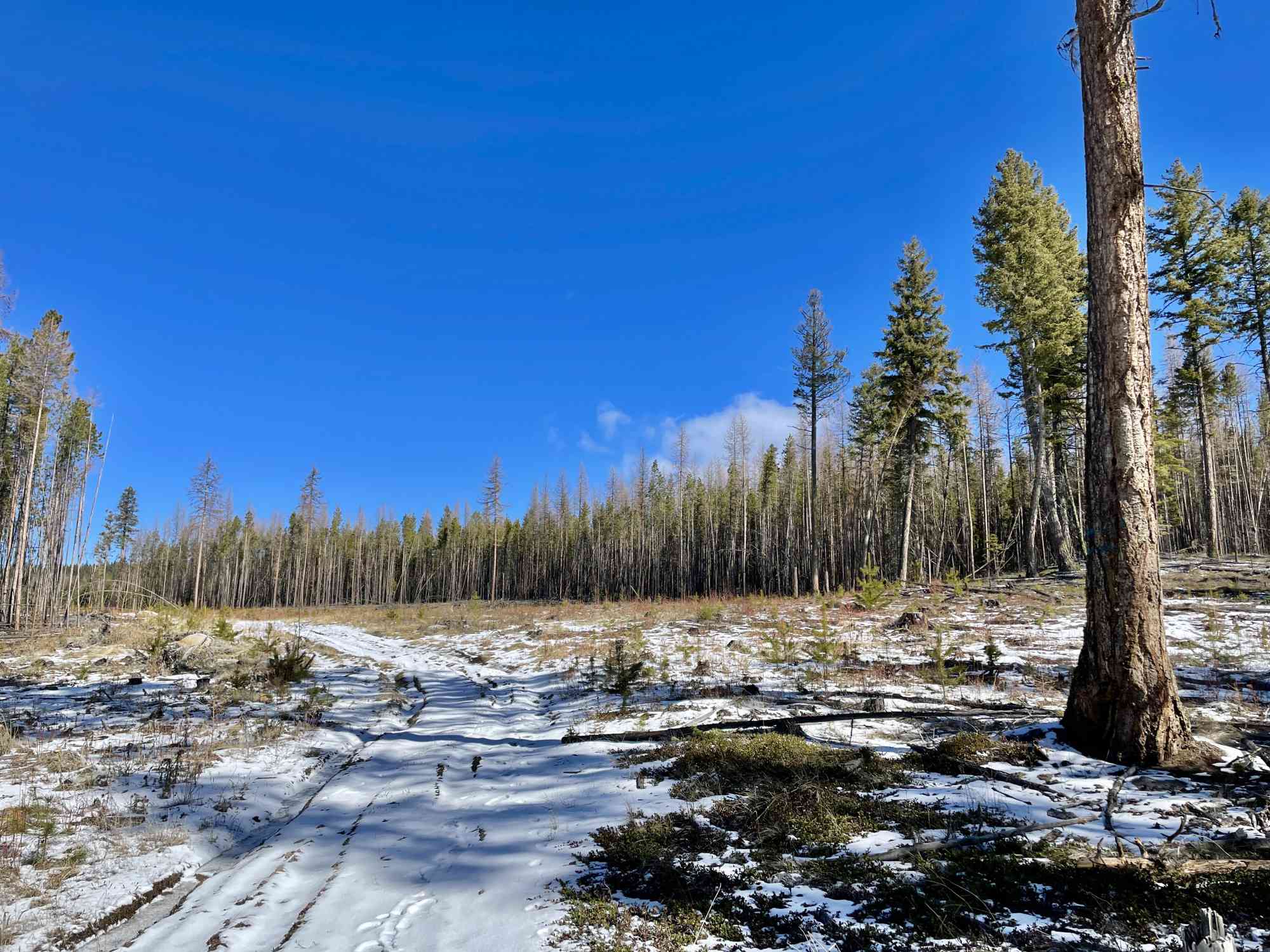
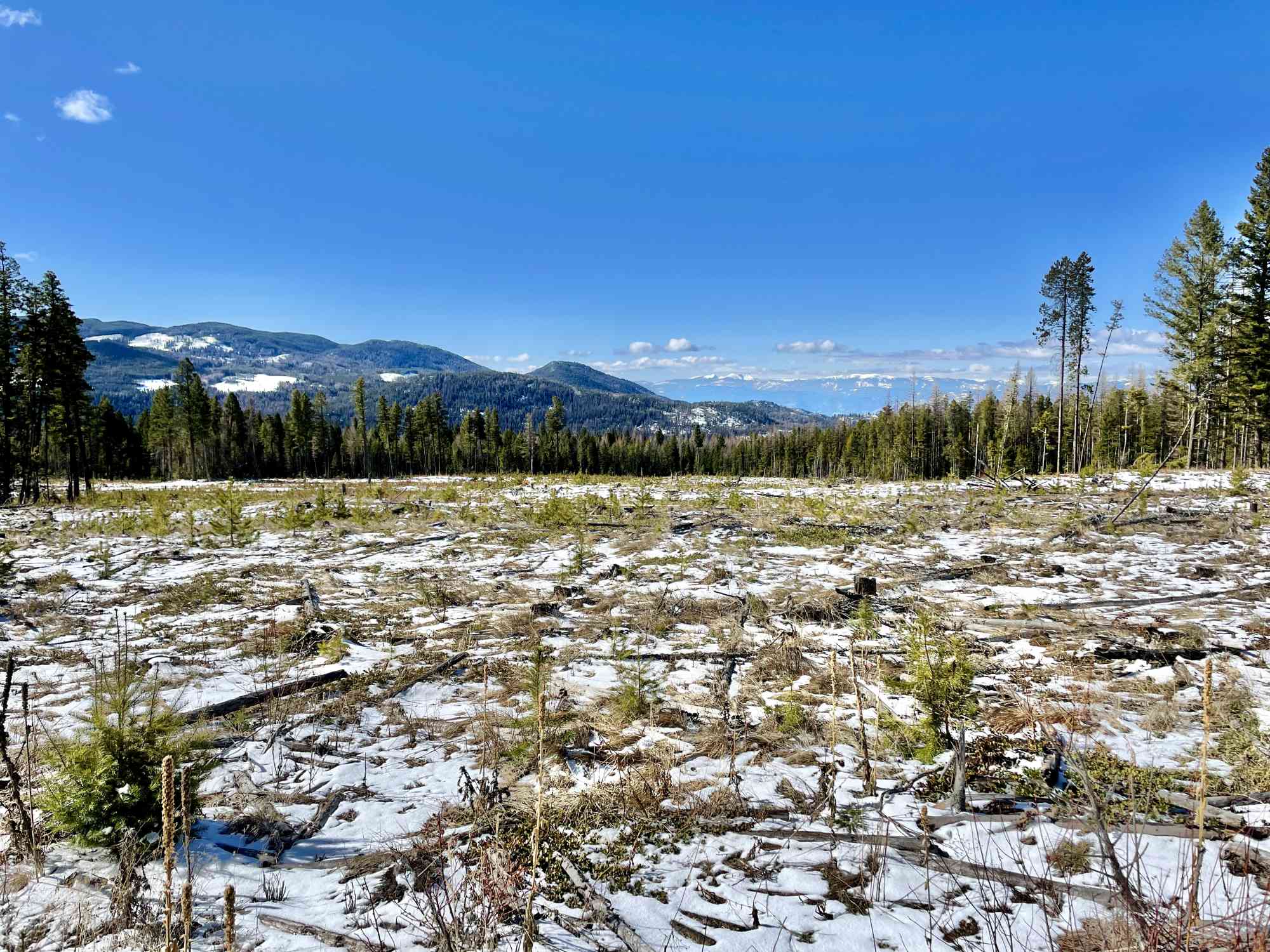
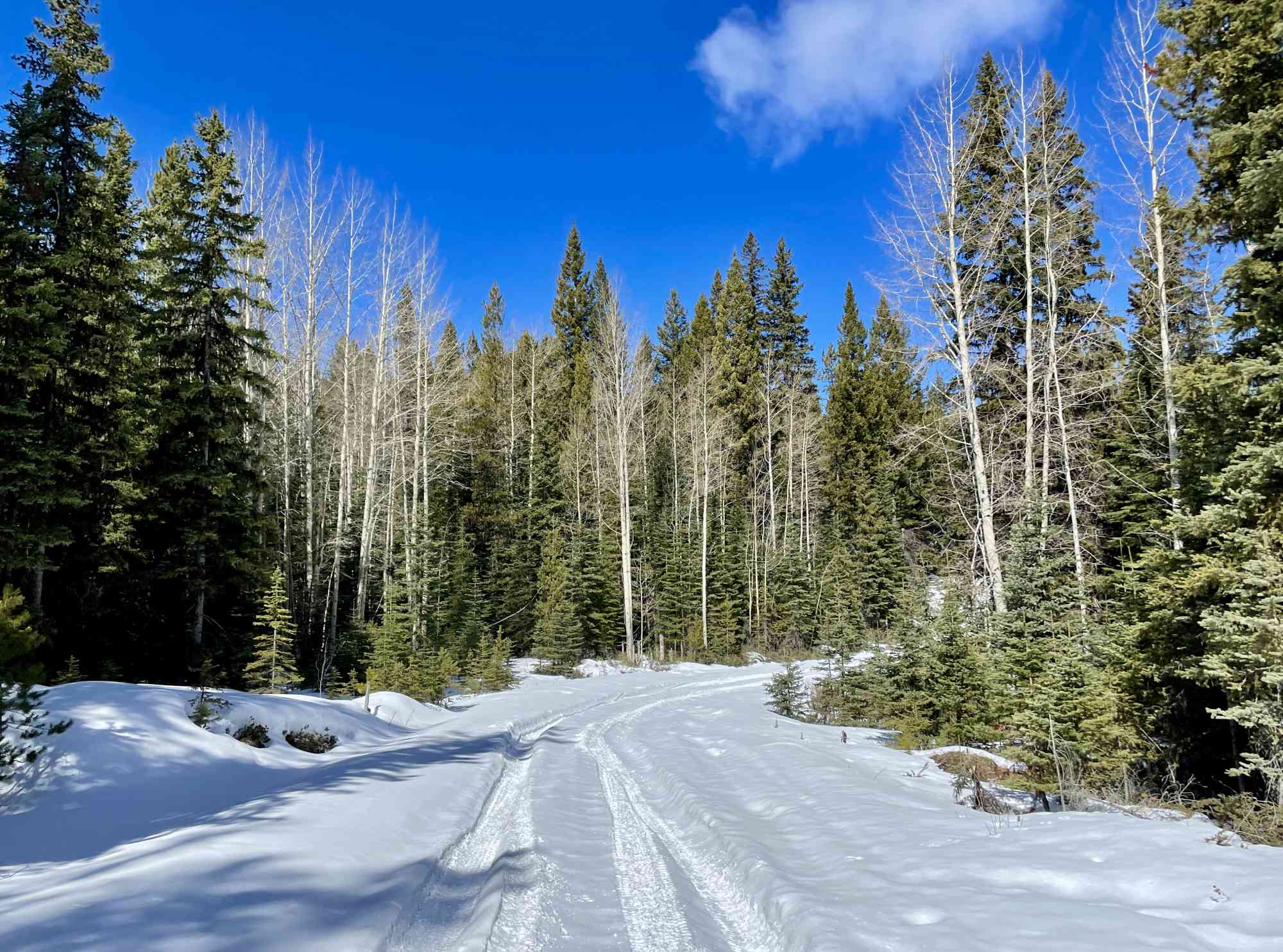
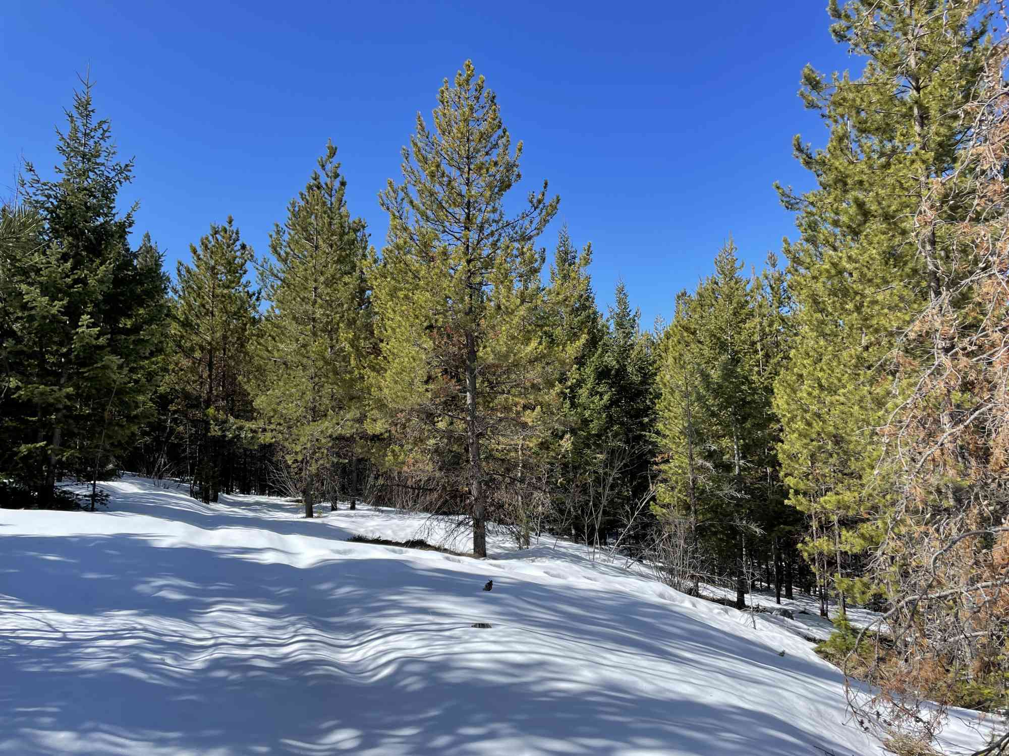
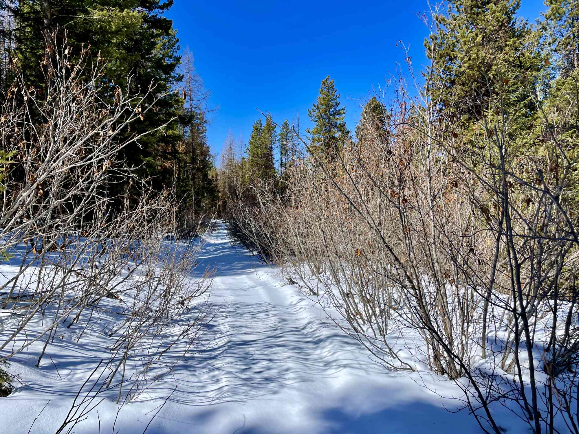
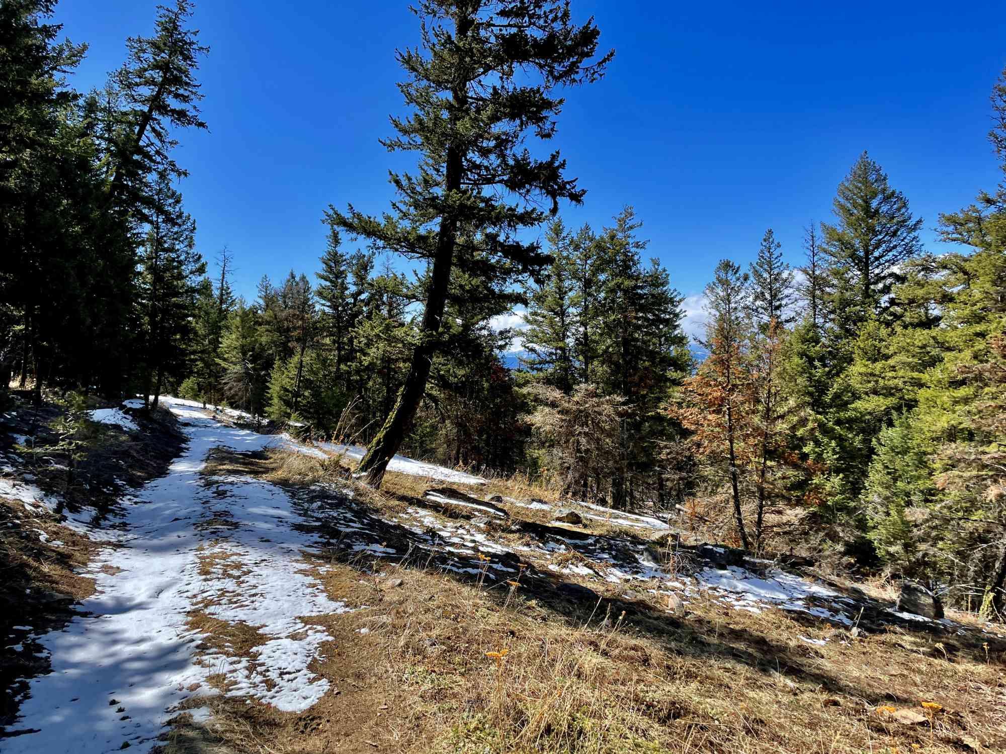
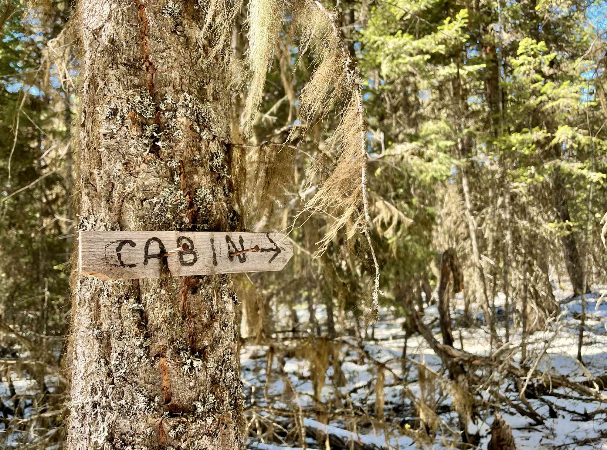
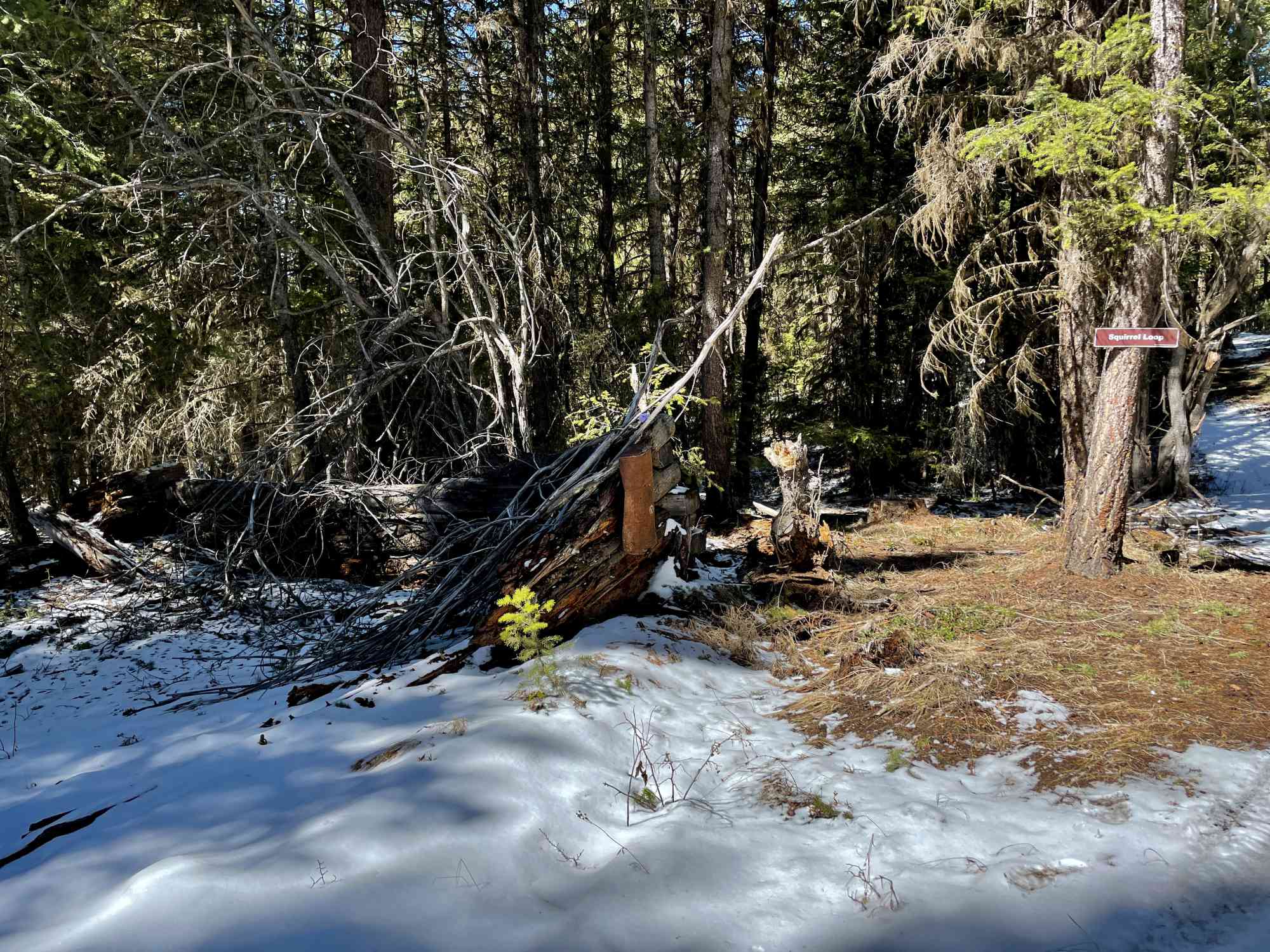
49.463242, -119.466888Enjoy a saunter through the landscape up at Carmi which may one day become fully logged. There are some pretty frequent maps available, but due to the sheer number of unlisted side trails, I suggest taking our GPS map. Overall, a very cute meander with only one semi-decent viewpoint.

Route
Kids & Pets
Features
Address
Driving Time
From Penticton, BC, approximate travel time by car is 20 min.
Notable GPS Co-ordinates
Detailed Directions
2) Turn LEFT onto Carmi Rd
3) Turn right until Beverdell Rd
4) Drive until you arrive at our GPS way point and head into the trail on the opposite side of the road.
Google Directions

Duration Calculator
The metrics for this trail have been converted to round-trip formation for distance and elevation gain/descent if necessary.
Estimated Time:
-- hours
We have a downloadable GPS map for this trail!
Last Updated on Sunday, January 26, 2025
Need help using it? See our FAQ.Map Waypoints
GPS Notes
Leave a comment
You must Login to post a comment!