
Carrot Mountain: Exterior Loop
Carrot Mountain: Exterior Loop
Shannon Lake
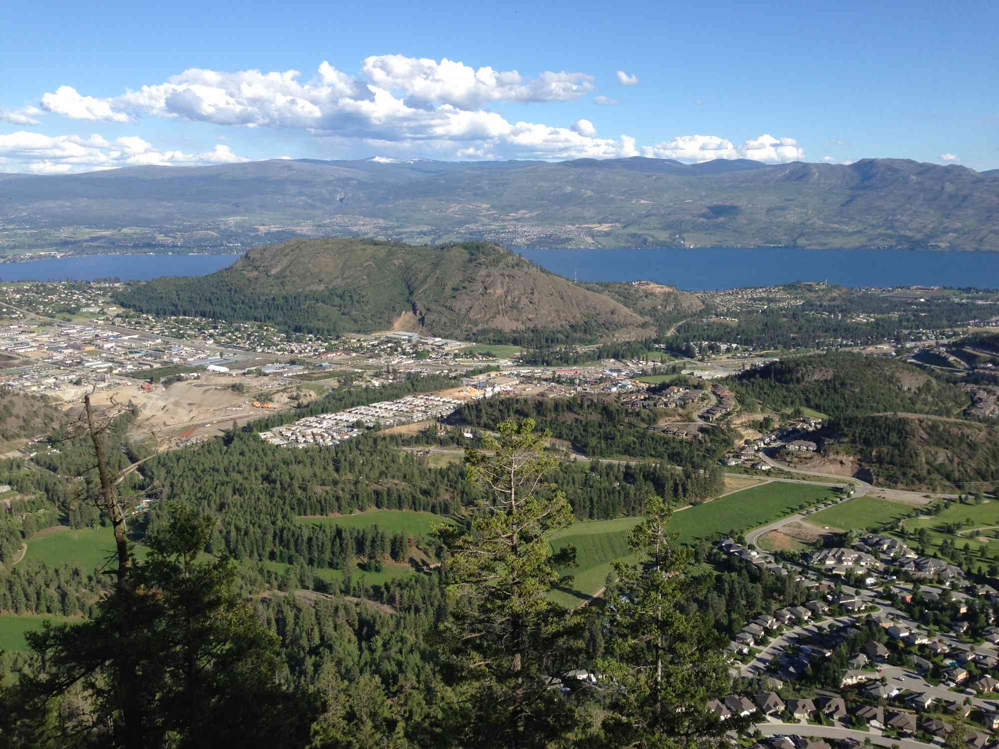
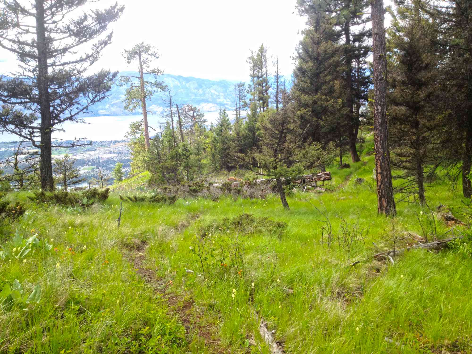
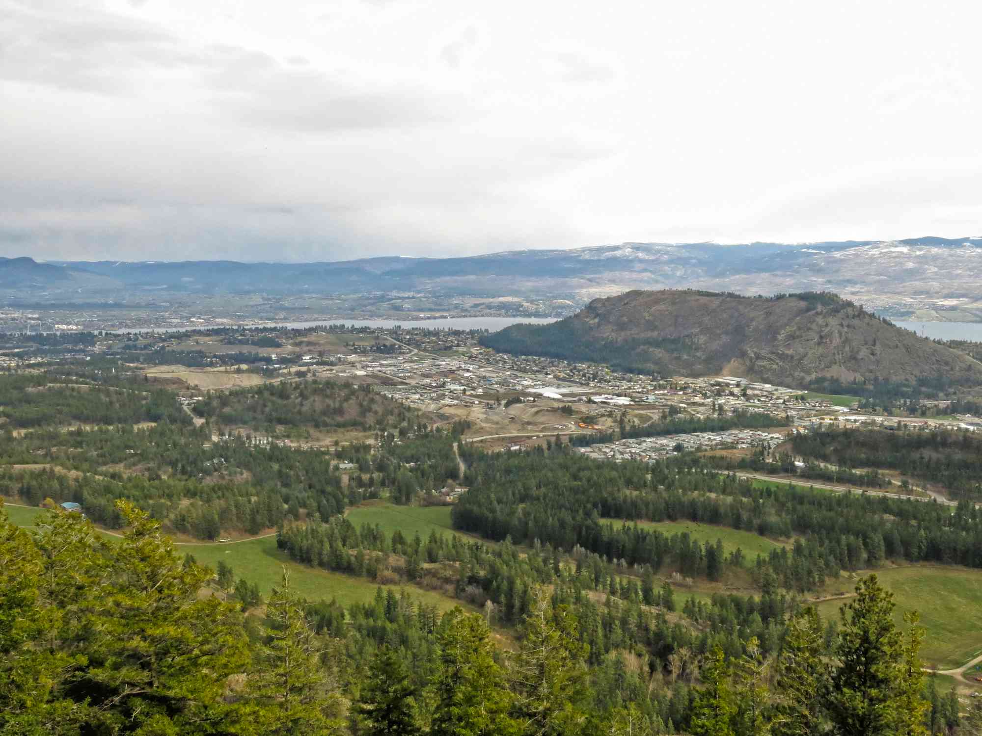
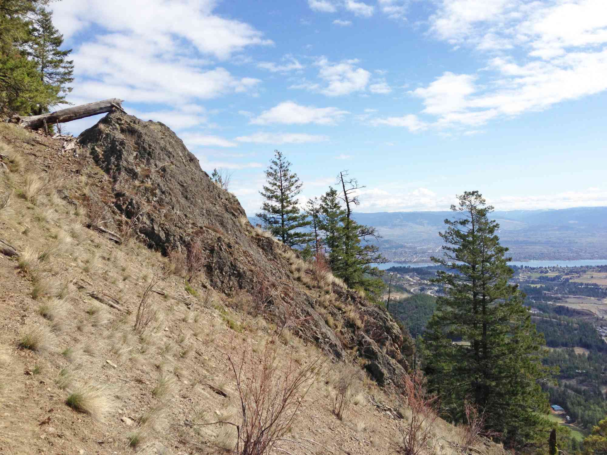
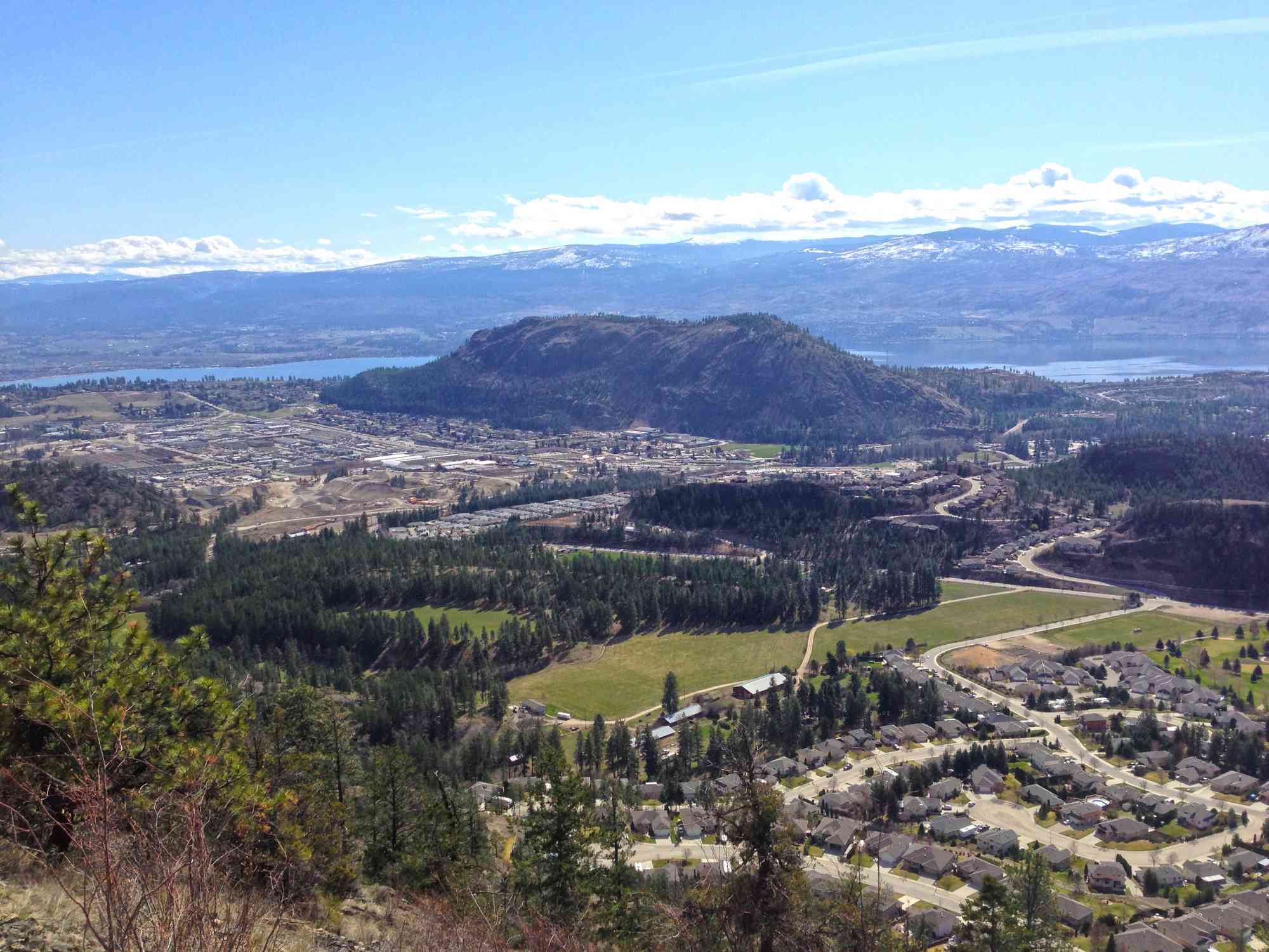
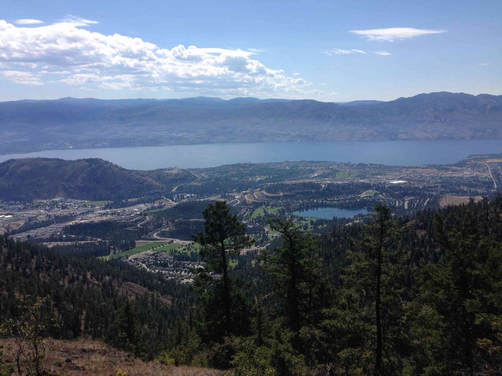
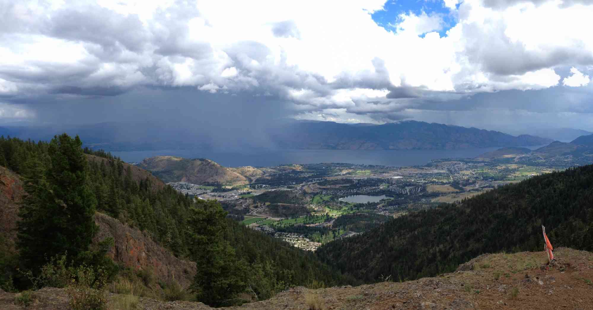
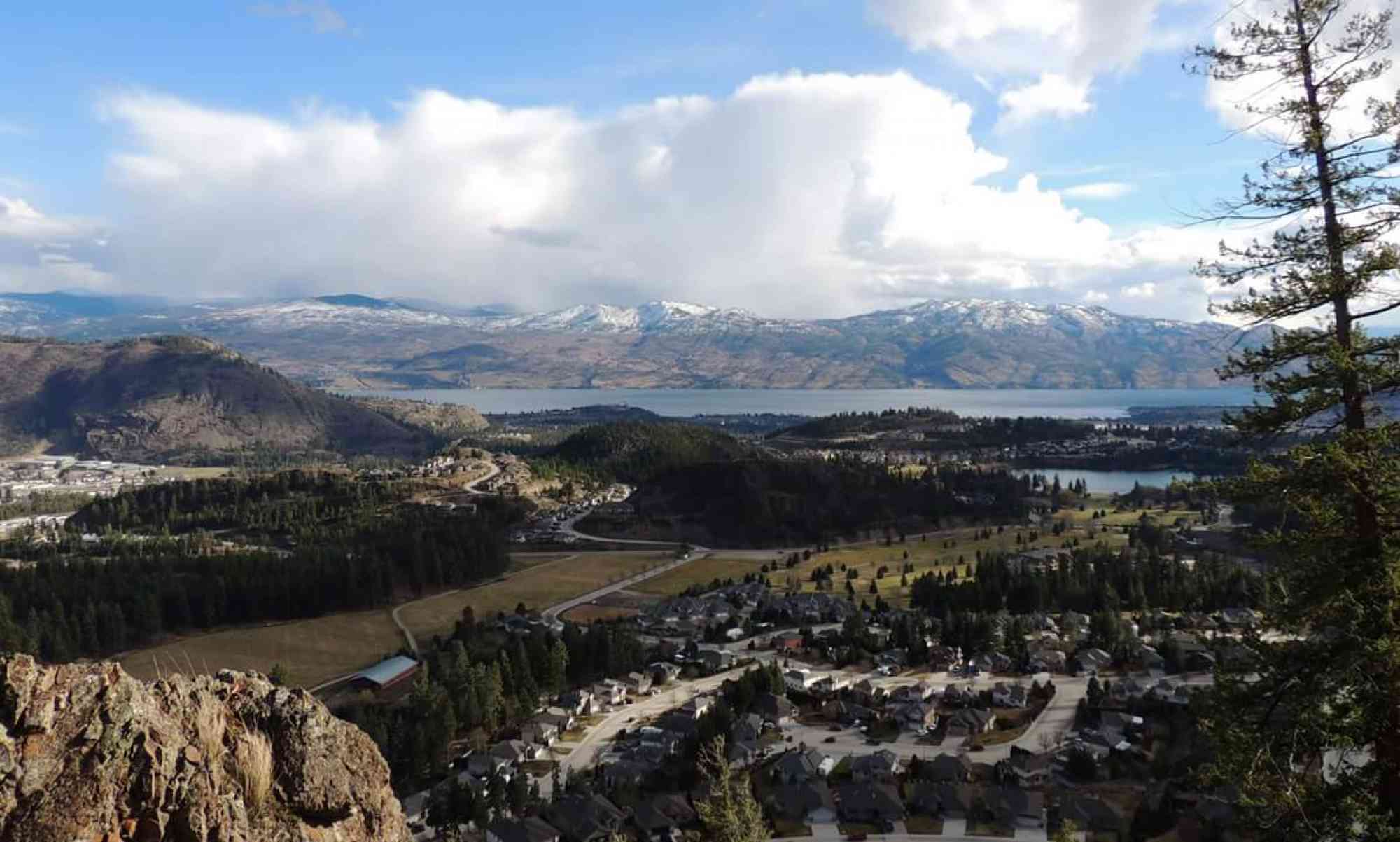
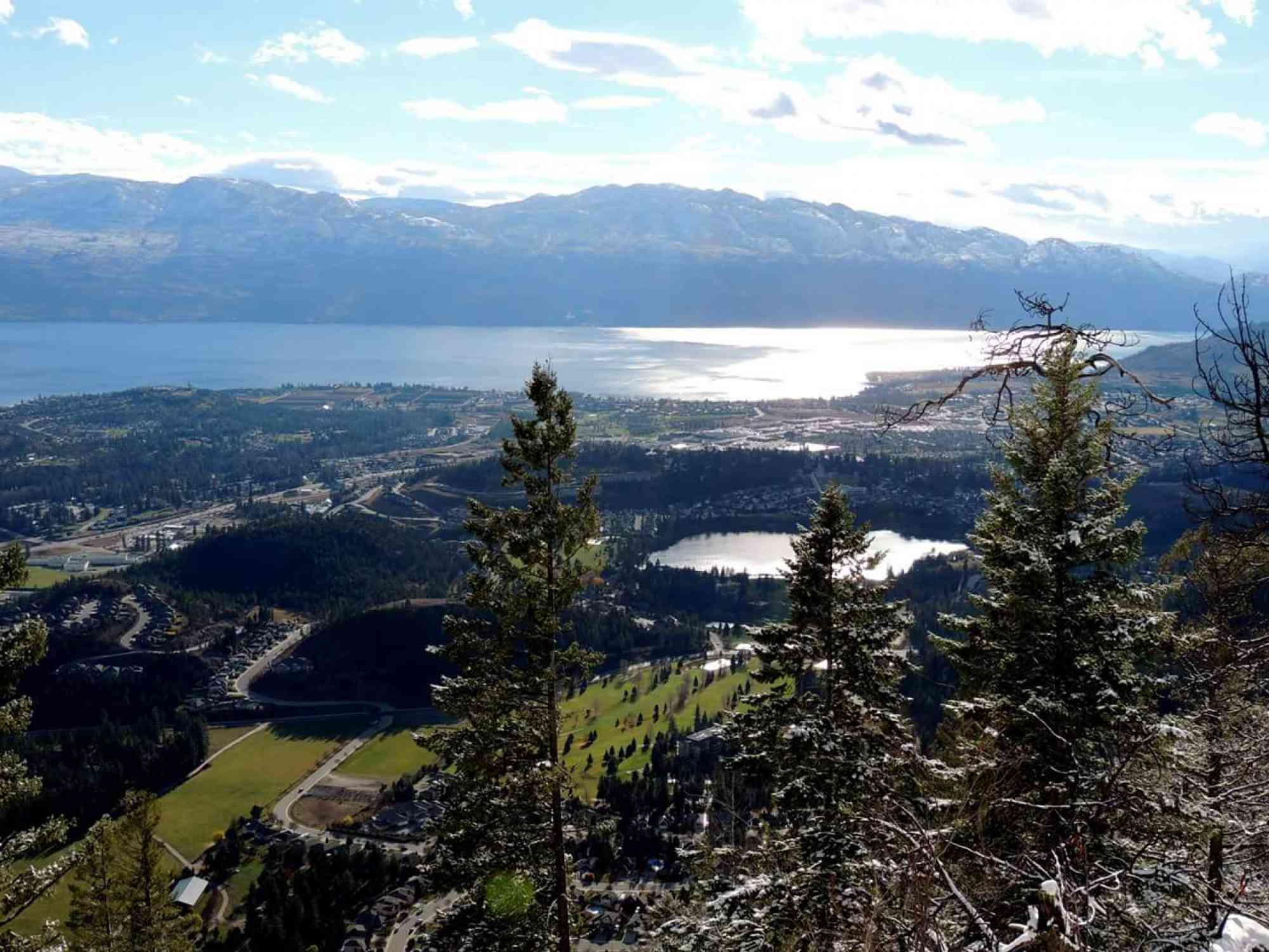
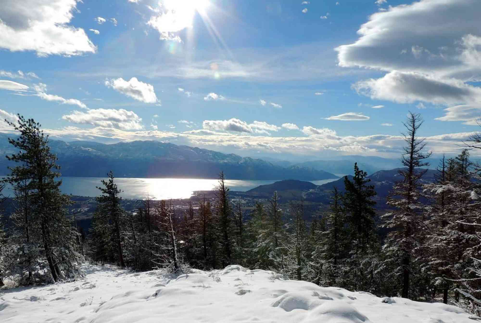
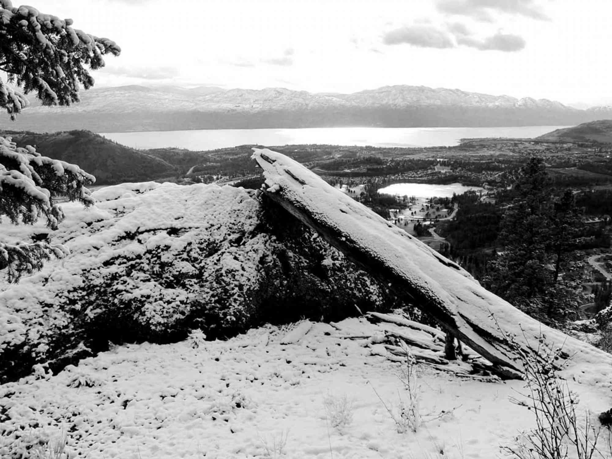
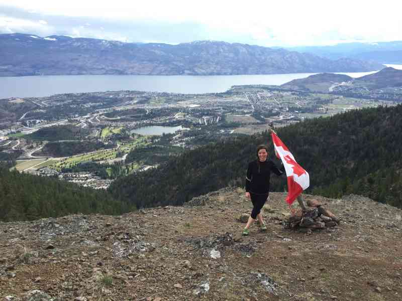
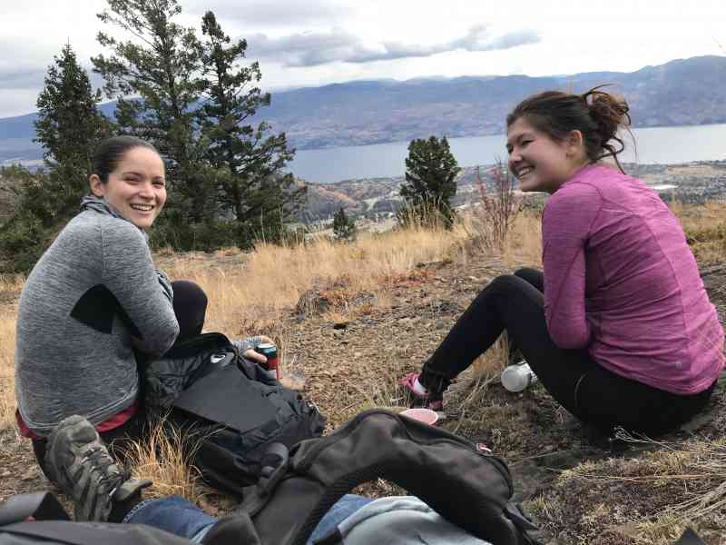
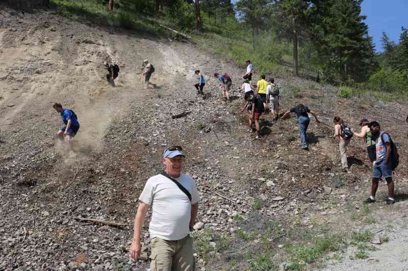
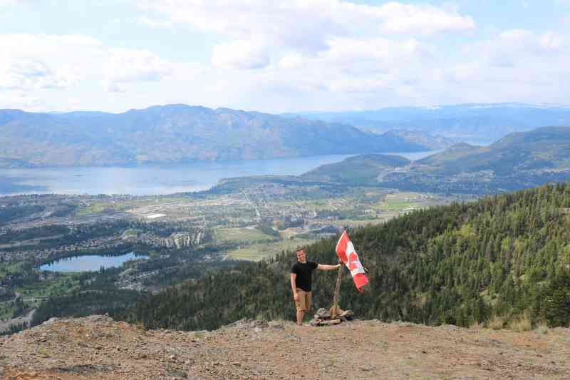
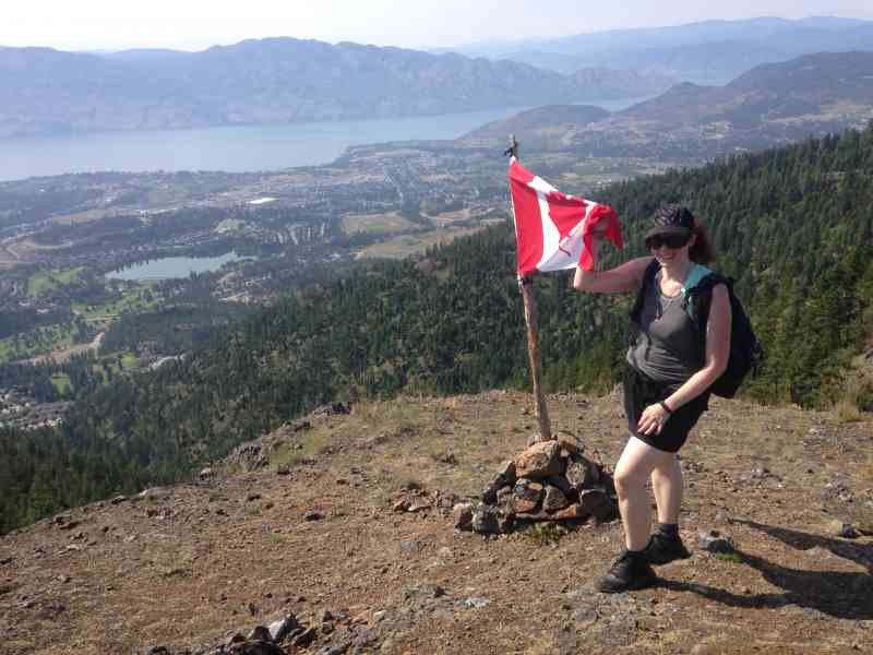
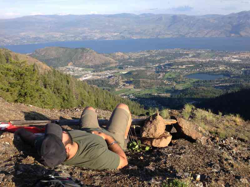
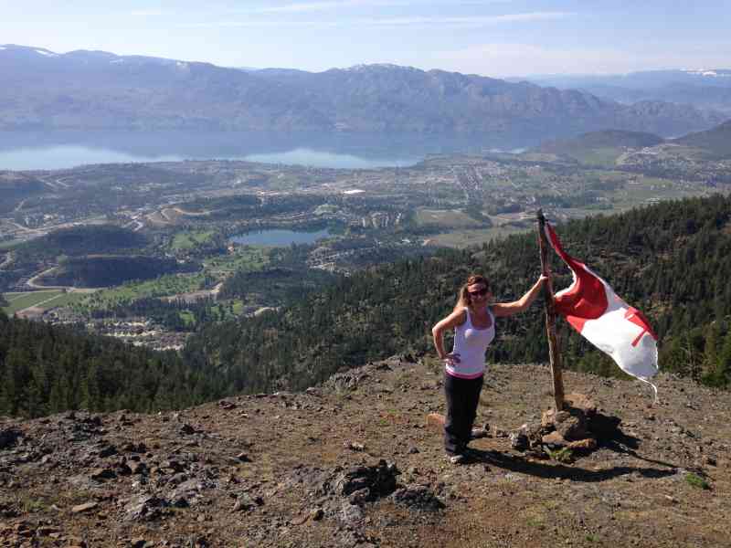
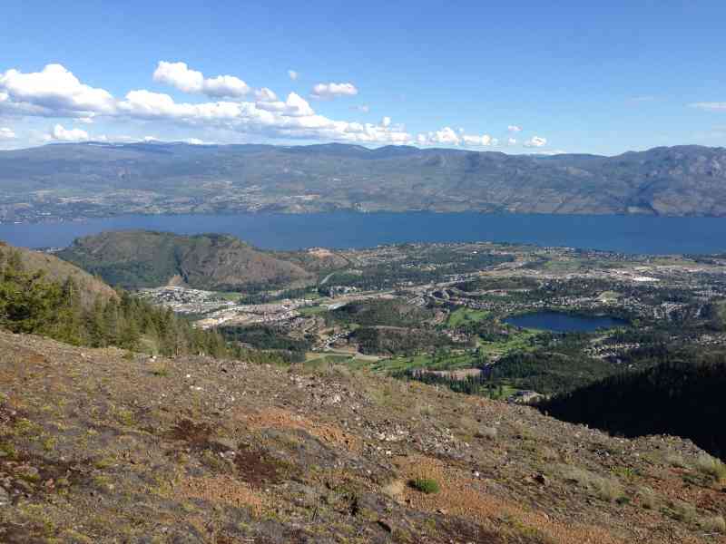
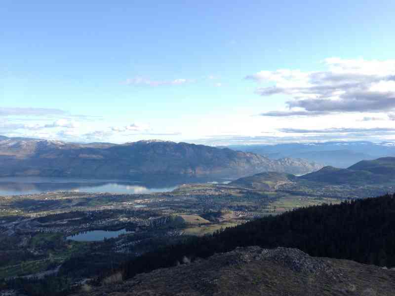
A difficult and at times strenuous hike, Carrot Mountain (or less commonly referred to as Davidson Creek) takes you on a steady, steep incline to a wide-angled view over West Kelowna, Shannon Lake and Okanagan Lake.
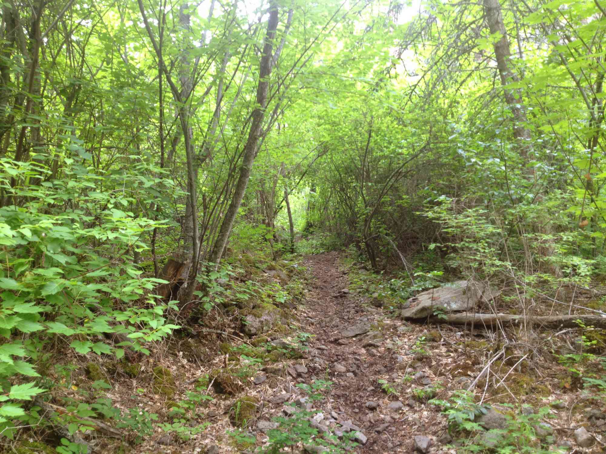
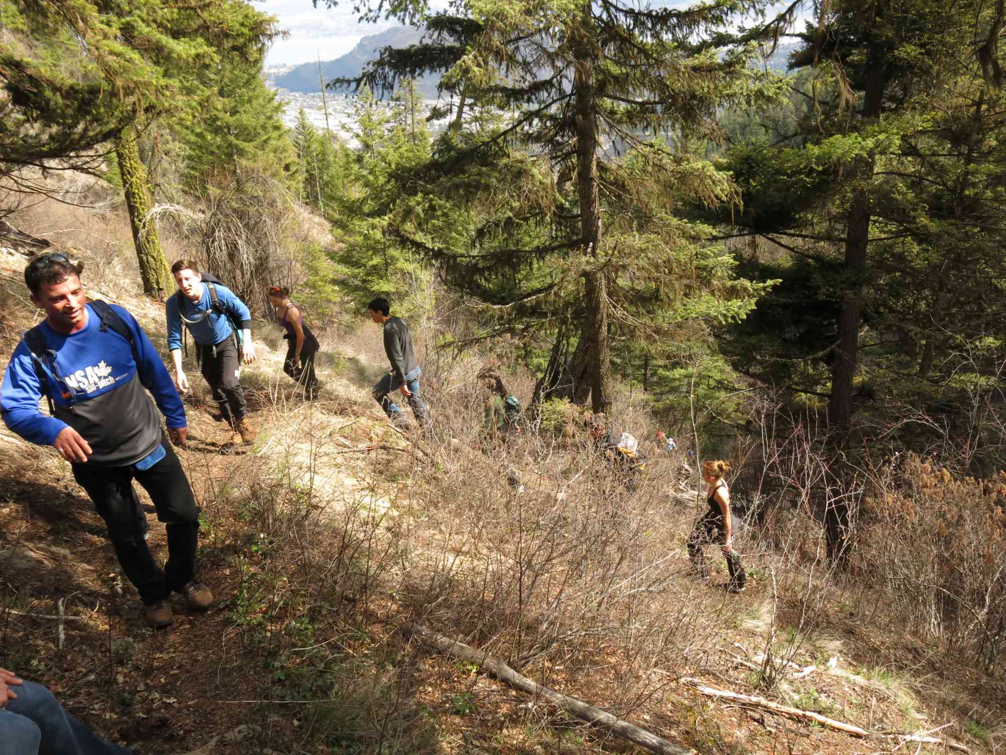
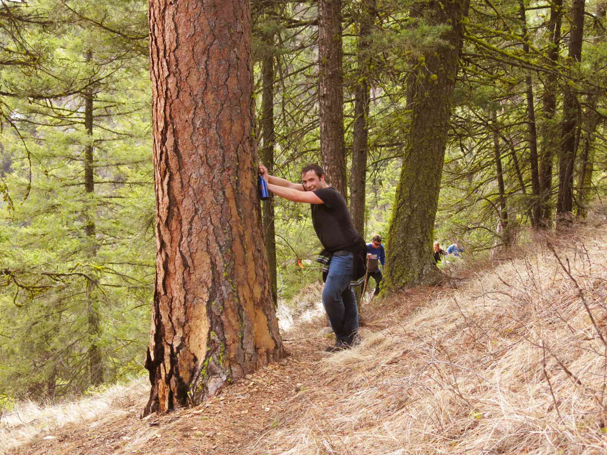
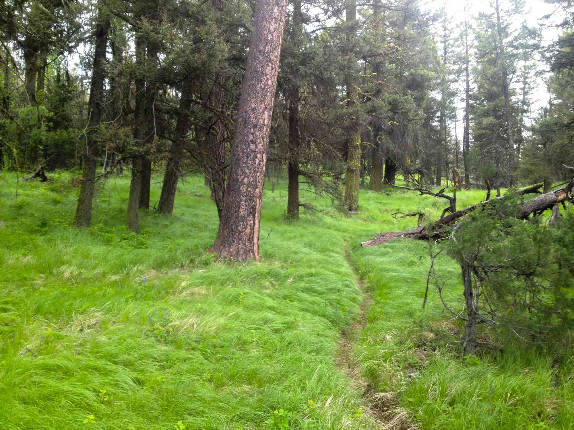
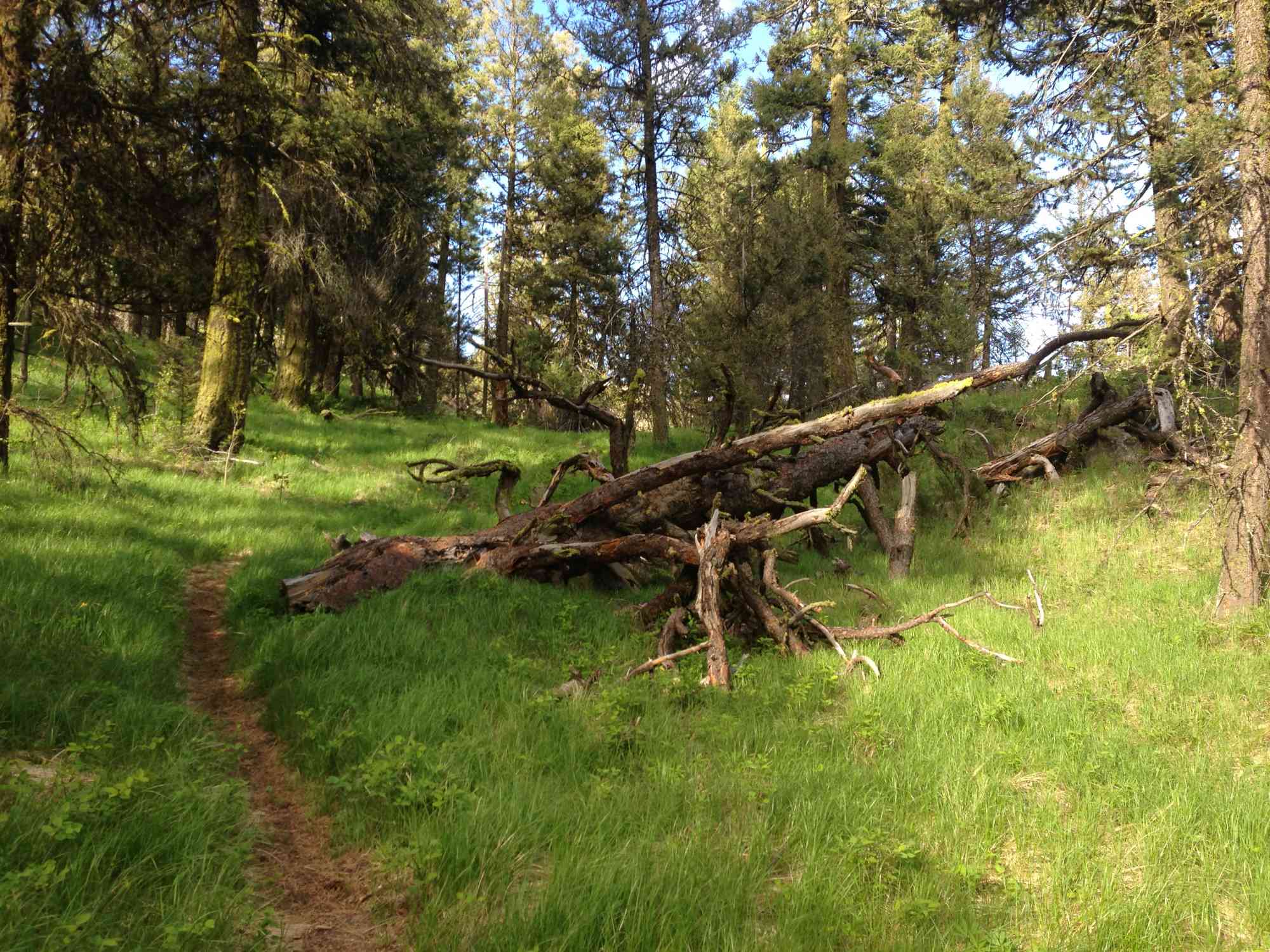
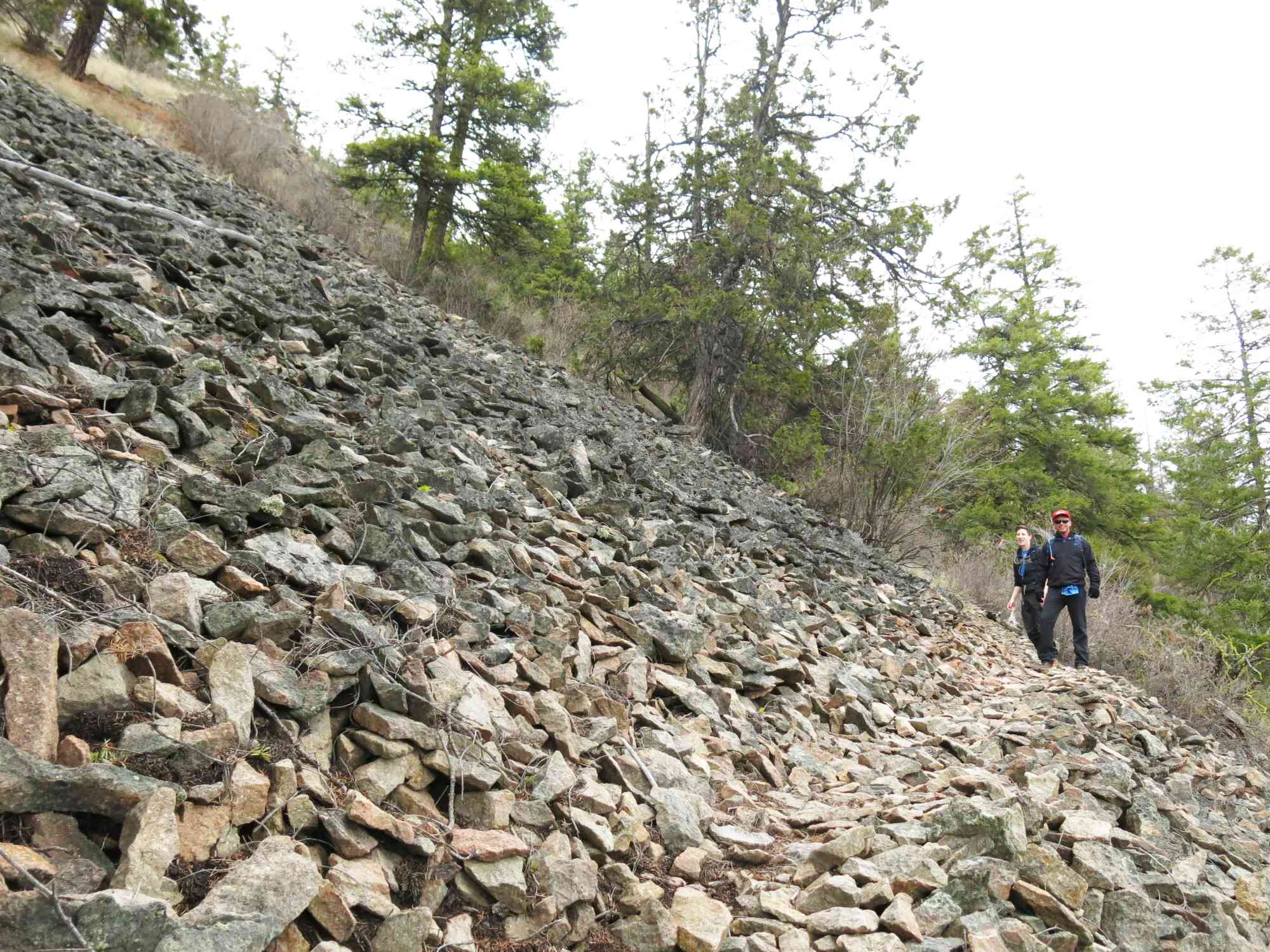
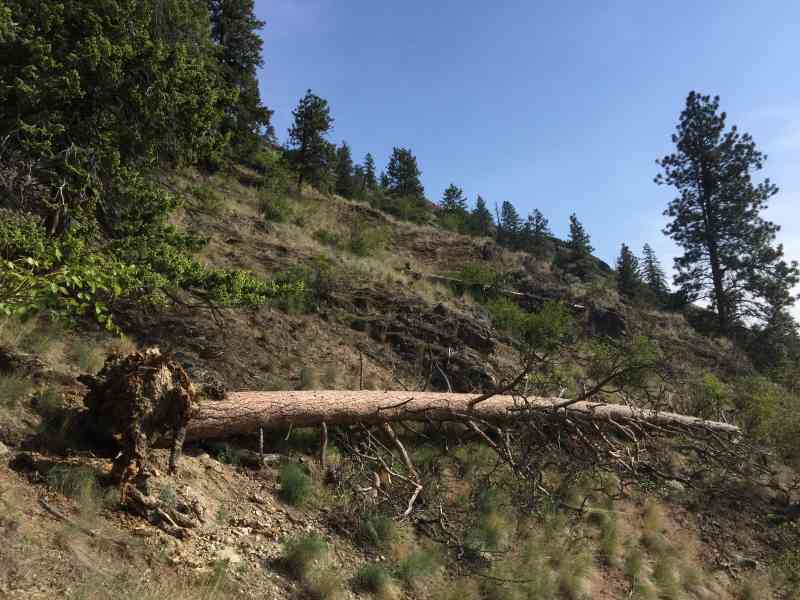
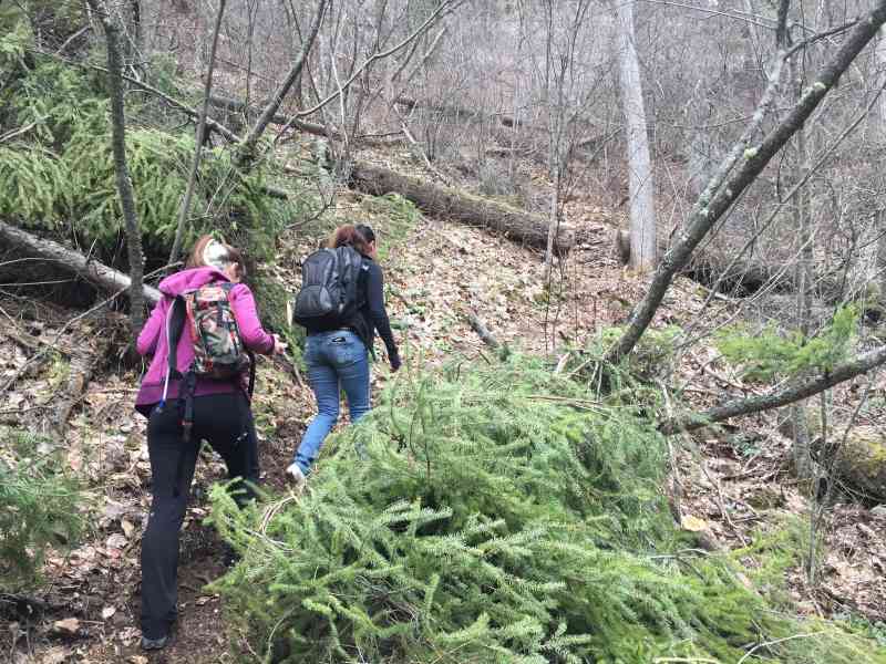
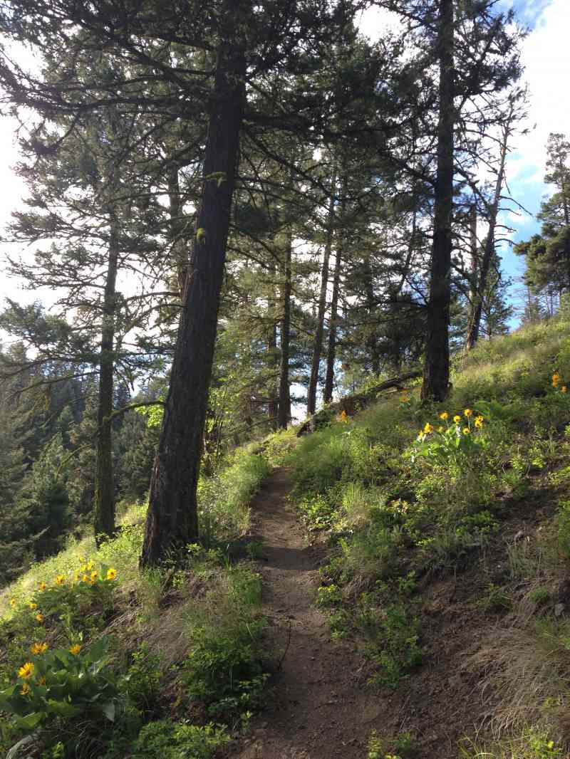
Slightly confusing, there are several trails on the mountain, the best option is to follow the well-used path along the gully to the top. The trail can be slippery at times and it is recommended to wear sturdy shoes, on the incline you may also need to use your hands, or poles if you have them, to keep from slipping.
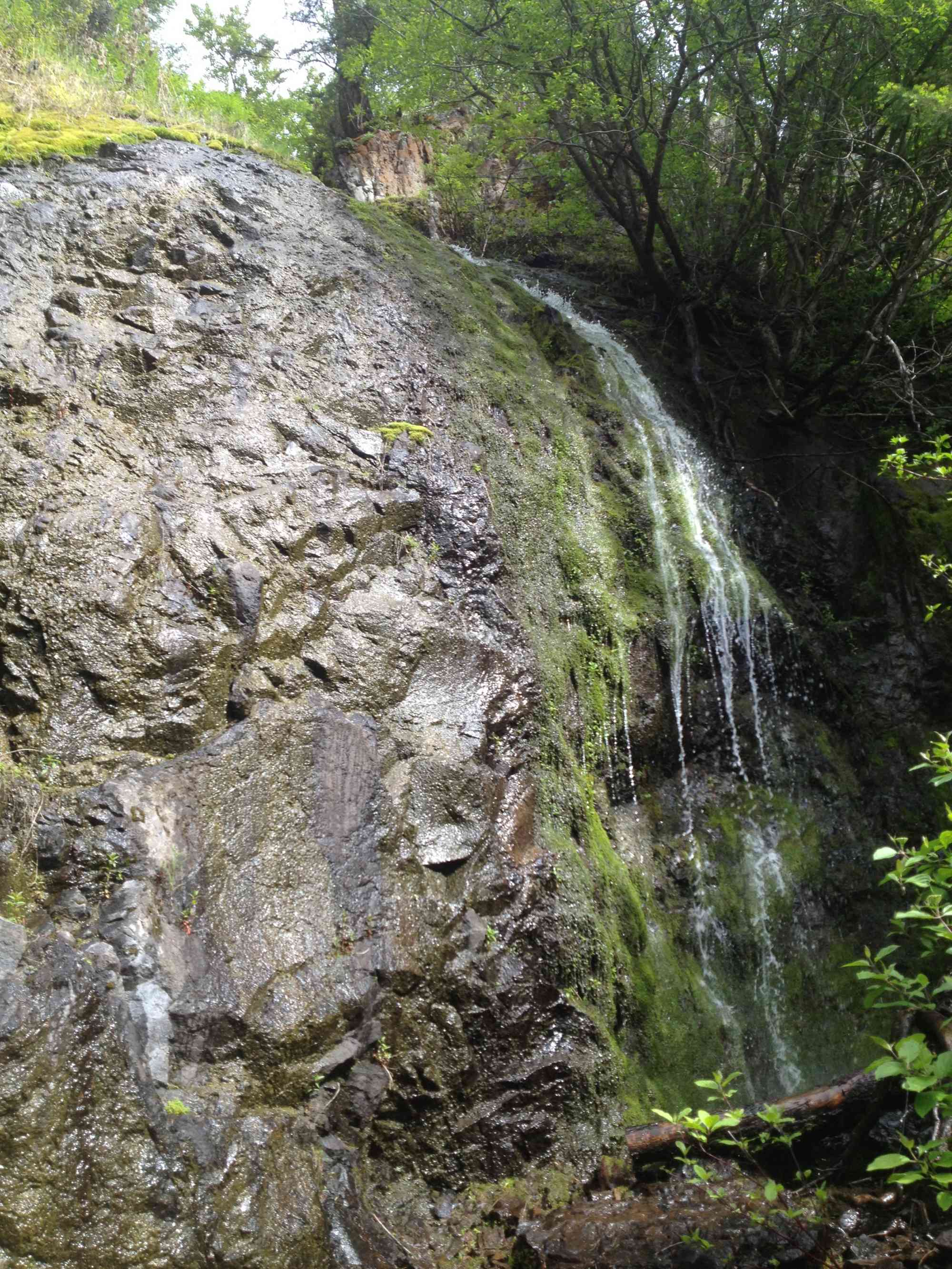
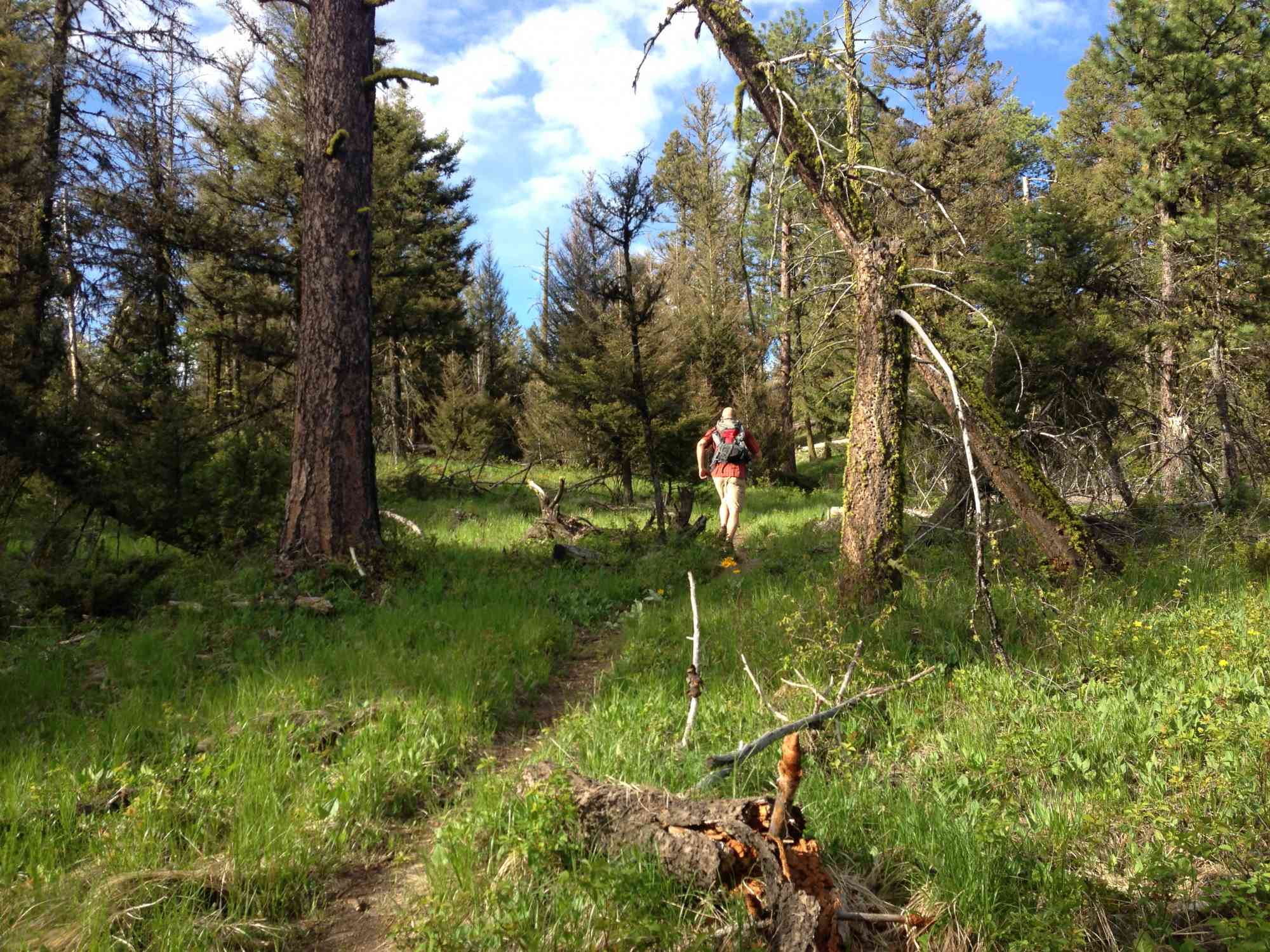
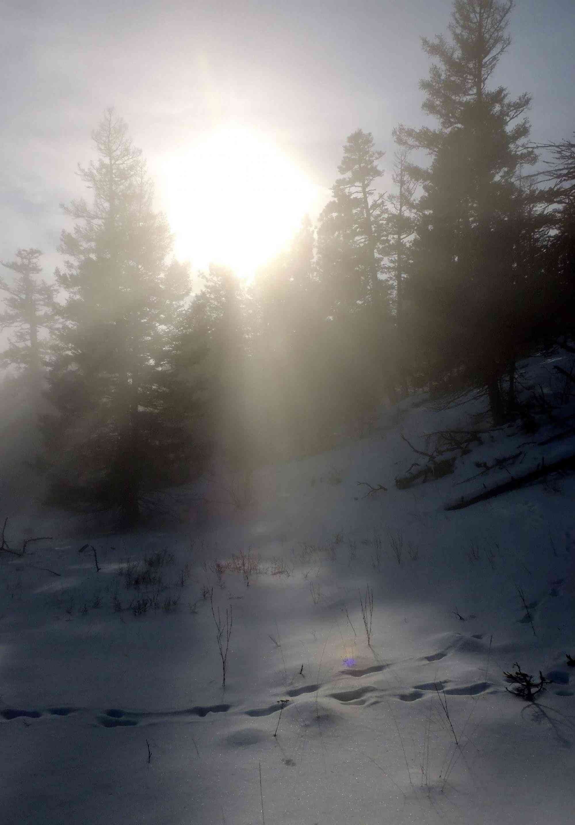
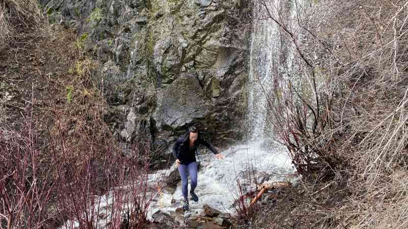
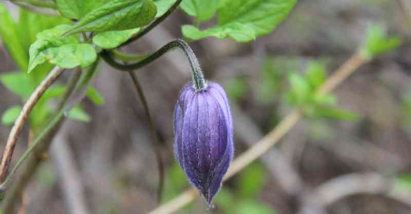
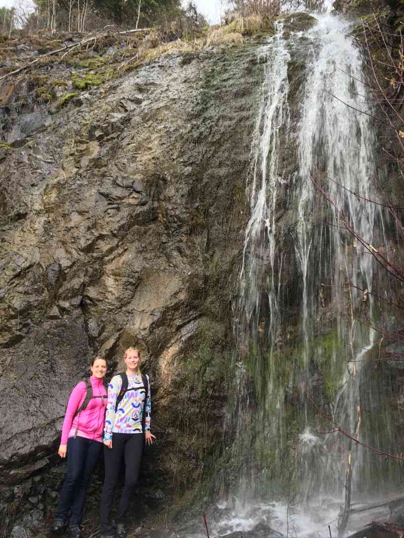
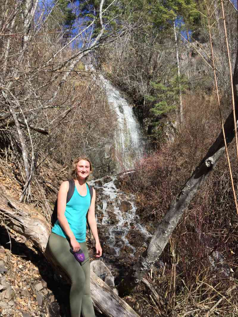
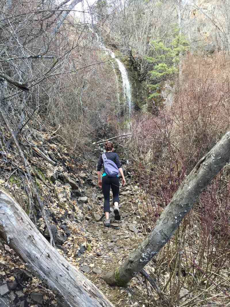
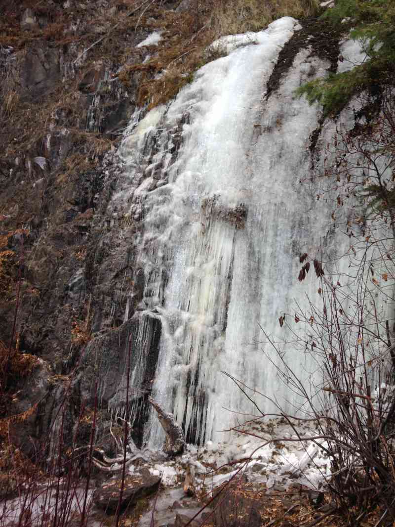
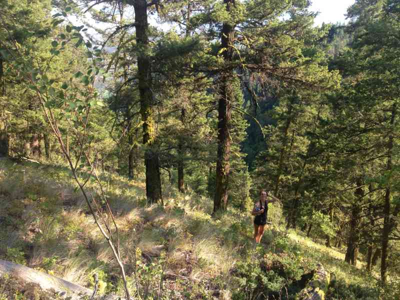
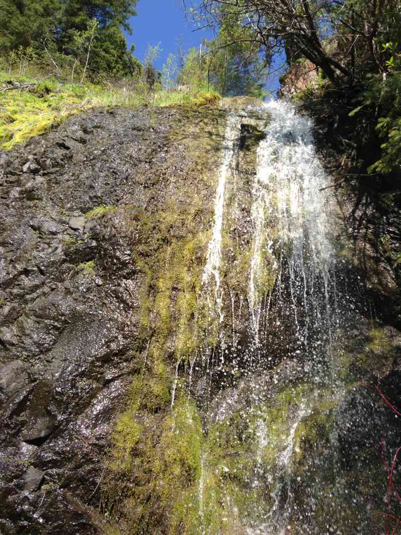
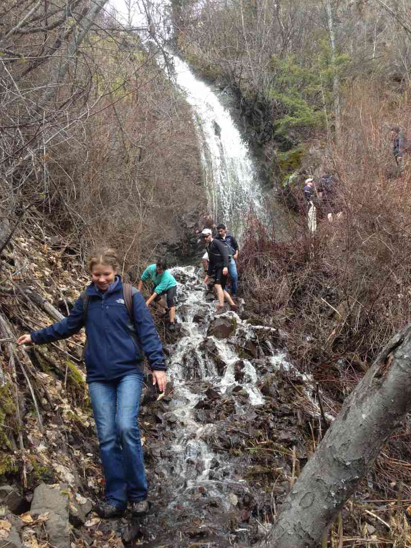
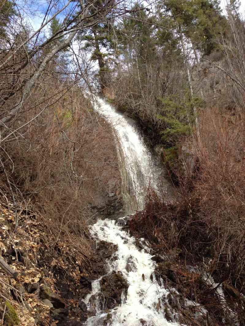
The dense trail through the shaded forest gives you a chance to take in sightings of a waterfall and wildflowers, including Fireweed and Indian Paintbrush along with Saskatoon berries and Ponderosa pine. It is also home to several types of wildlife including bears, which are often seen on the mountain, elk and smaller animals such as chipmunks. Travelling alone is not recommended.
Heading back, a route is available to the East which loops you back to the beginning, alternatively you can backtrack bearing in mind the decline will be steep.
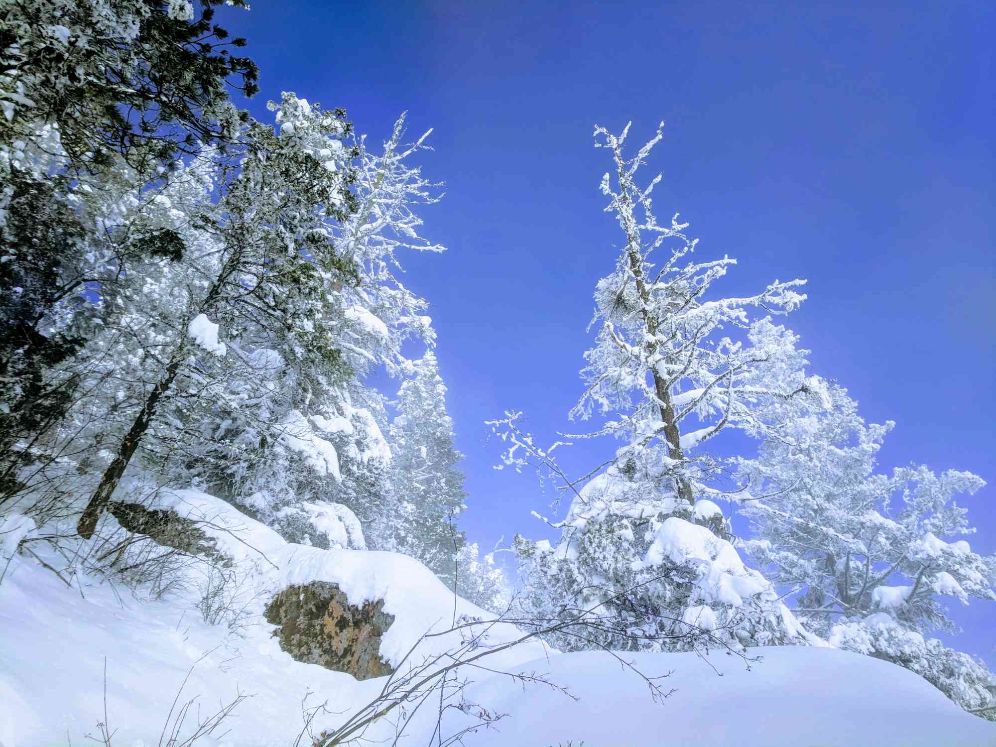
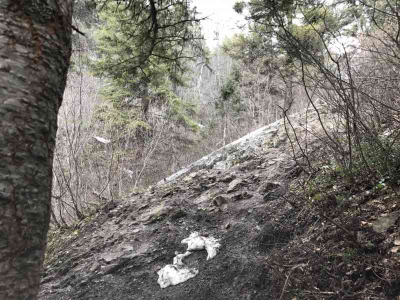
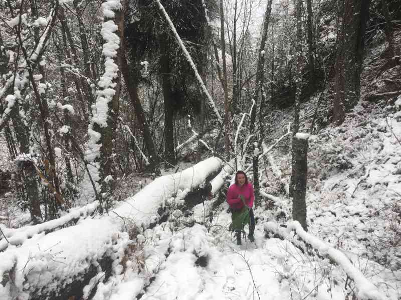
* Carrot Mountain Bluffs is subjected to heavy snow in the winter, hiking is only advised from May 1st onwards. Prior to that, the waterfall has severe reign of the trail.
WARNING: Maximum Slope is 57%!!! Bring shoes which can accommodate incredibly slippery and steep cliffs.


Route
Kids & Pets
Features
Address
Driving Time
From Downtown Kelowna, approximate travel time by car is 16 min.
Notable GPS Co-ordinates
Detailed Directions
=> Primary Directions <=
1. Head into West Kelowna from downtown.
2. Right on Bartley
3. Left on Shannon Lake Rd
4. Right on Shannon Woods Dr
5. Right on Shannom Hills Dr
6. Left on Shannon Heights Pl
7. Park in Cul de Sac and head up dirt path to the right
=> Alternative Directions <=
1. Head into West Kelowna from downtown.
2. Turn RIGHT on Daimler Dr
3. LEFT onto Auburn Rd
4. RIGHT onto Shannon Ridge Dr
5. RIGHT onto Shannon Lake Rd
6. LEFT onto Shannon Woods Dr
7. RIGHT onto Shannon Hills Dr
8. LEFT onto Shannon Heights Pl
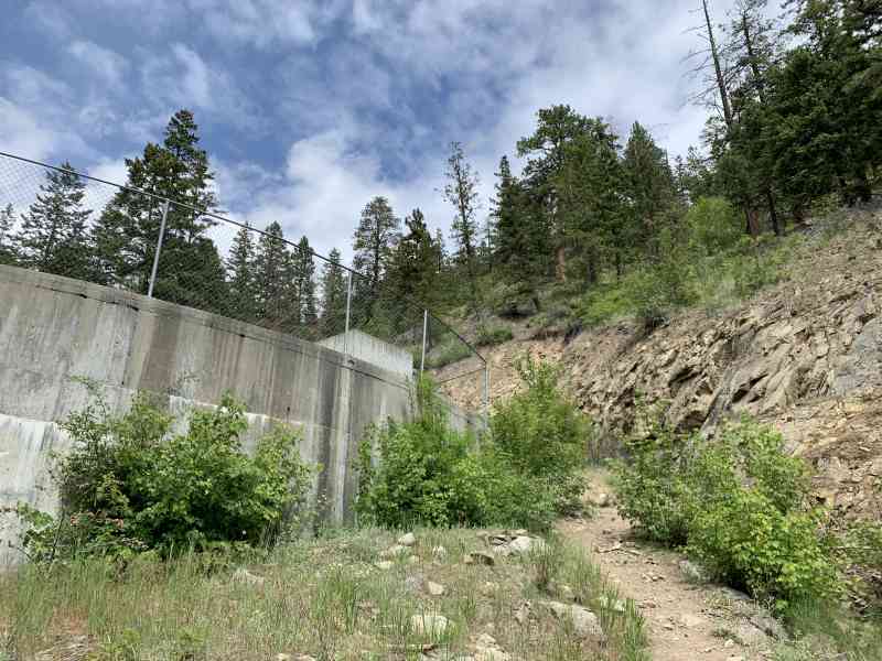
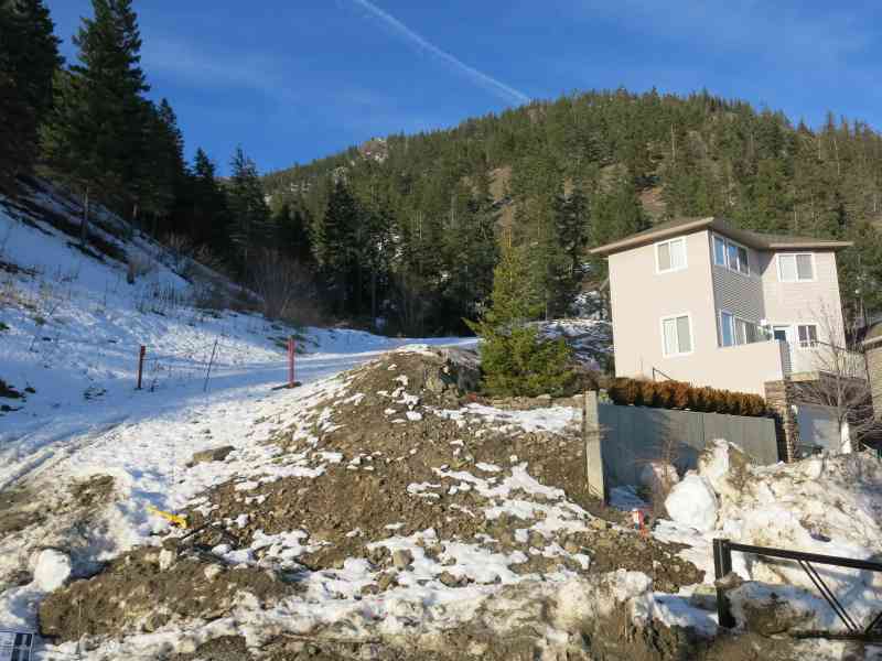
9. Park on the side of the road near the gate and follow the trail left of the driveway past the new house up to the water reservoir.
Google Directions
Use our written directions in preference to the Google directions below as they are likely more accurate.

We have a downloadable GPS map for this trail!
Last Updated on Thursday, March 23, 2023
Need help using it? See our FAQ.
Very pretty trail! Round trip took 1:14
Monday, May 26, 2014 at 9:05 PMI did this hike yesterday and it started off as really beautiful. And it's shady in the beginning, you're right along a small creek till you hit the waterfall. Yeah I was pretty tired, wish I had like super good grip hiking shoes and bug spray and like three more bottles of water. Going down was really the challenge. We did follow the small yellow markers on trees on where to go and maybe we accidentally went off trail but as some point it got really scary. A lot of shale, we picked up some walking sticks and they literally saved us. We took it really slow and we kept being skeptical of the way we were going because rocks kept on slipping under us and we couldn't imagine scaling down the whole mountain like that. It was like at the point where you kept thinking if you walked a little further you would eventually see something that looked like other people had walked there before but no just more and more unstable shale. We even paid for the the gps map because we felt so lost but decided to turn back and decend from the way we came up. At some times I was just on my butt slowly going down because of the steepness. My pants in the butt area was ripped pretty good. We used the walking sticks and each other's hand to maneuver over really steep parts. Once we got to the waterfall there was more grip with secure rocks to step on, it was a little less steep with trees and roots to grab on to. I don't know it felt like at any time we could die if we slipped or slid too far or stepped on the wrong rock. And a supposedly two hour hike turned into like six hours. I'm pretty sure I got a tic on my neck around the shale area cuz there was a bit of long grass there but I smacked it off. And basically coming back I didn't care if my feet got wet from the creek or about anything but arriving back to the car safely. Going uphill was manageable but the descent felt nearly impossible sometimes. i would definitely say if it's your first time bring somebody with you and extra snacks and sunscreen and bug repellent and the right foot wear and electrolytes and stuff. Don't try to rush
Monday, May 14, 2018 at 7:51 AMHas anyone been up recently? Any idea how the run off is? Tried to go up a couple of months ago and had to turn around because the water was flowing too much down the river you cross over
Sunday, August 11, 2019 at 3:19 PMLeave a comment
You must Login to post a comment!