
Christie Falls
Christie Falls
West Kelowna
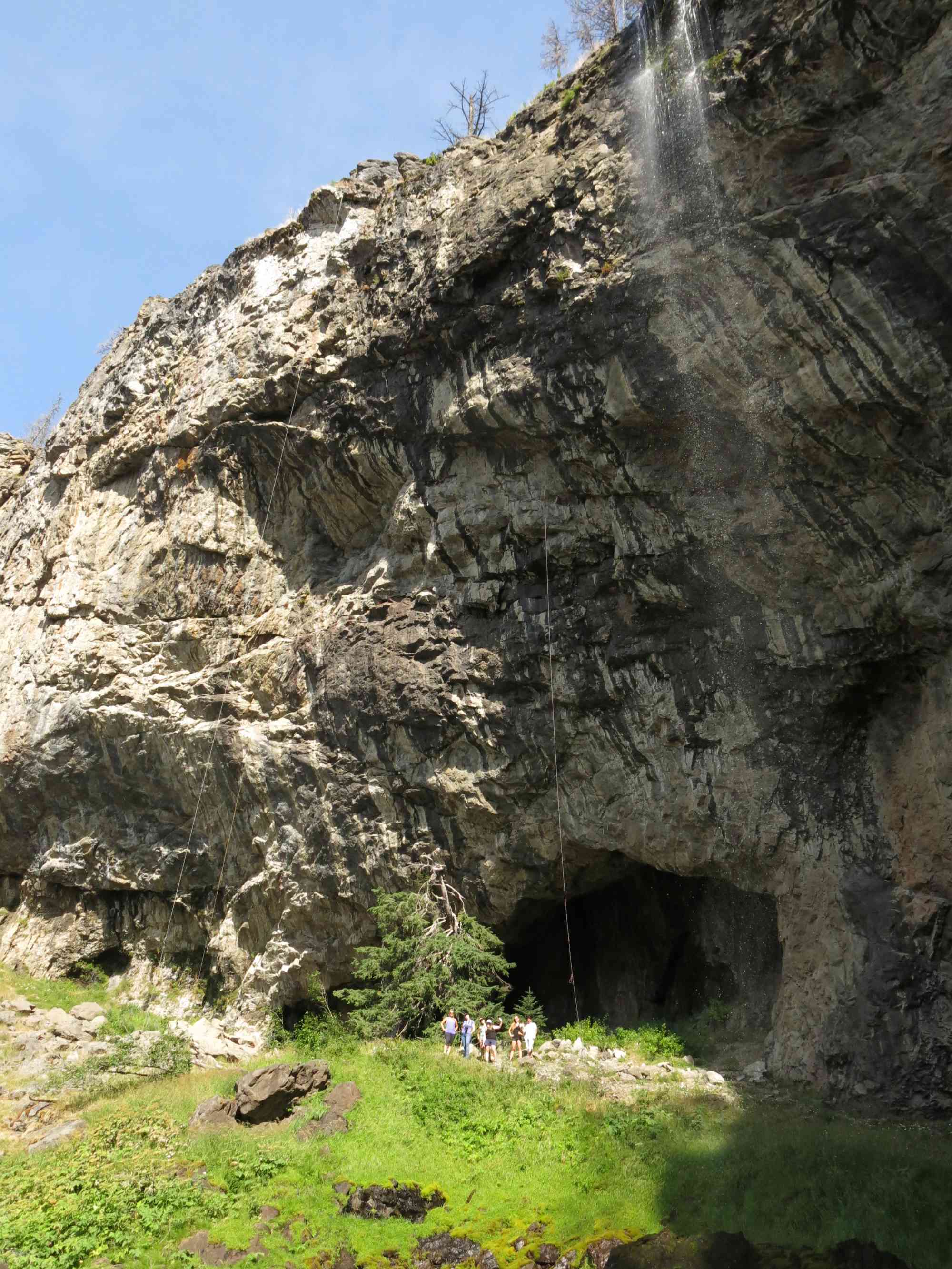
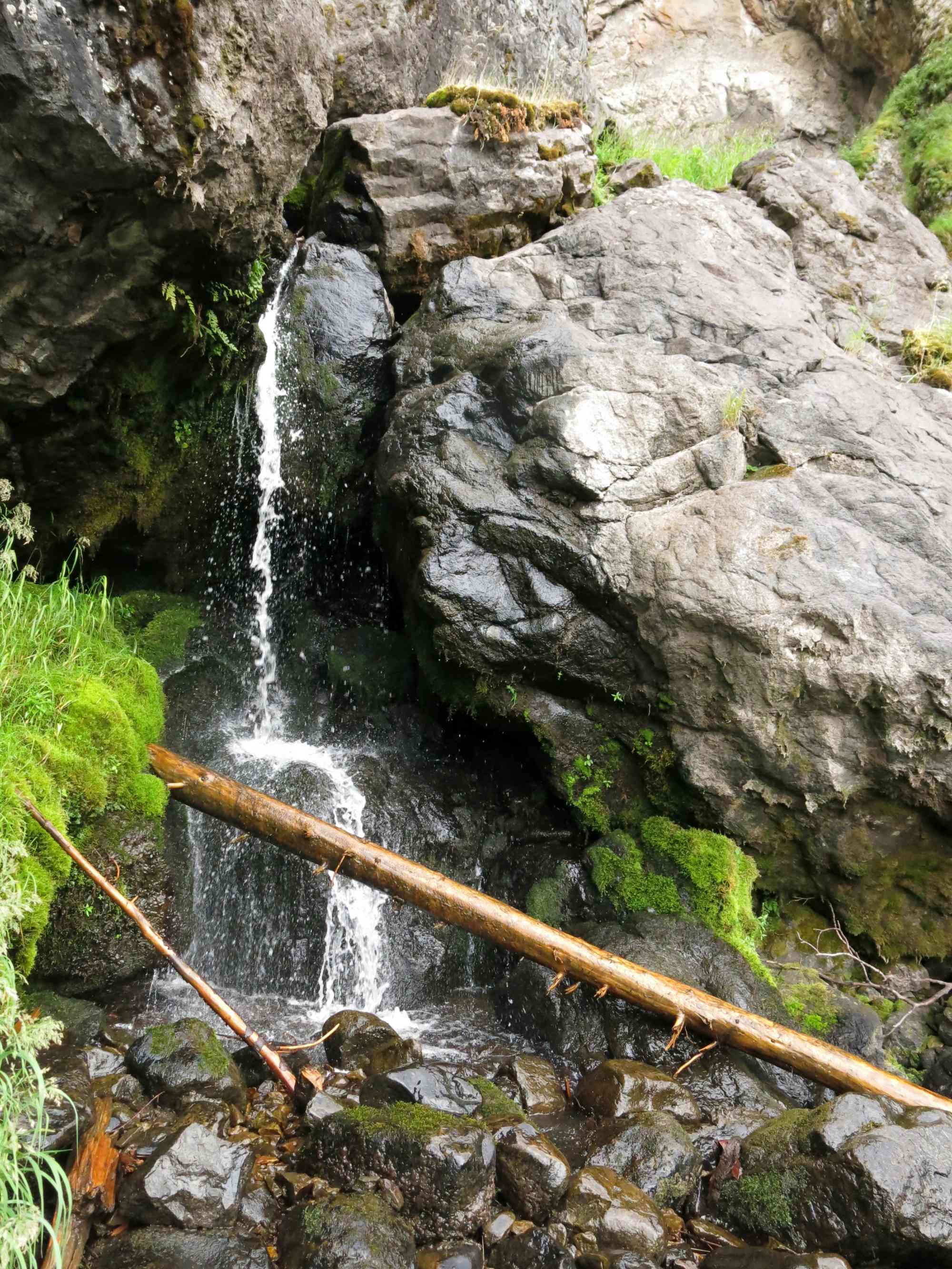
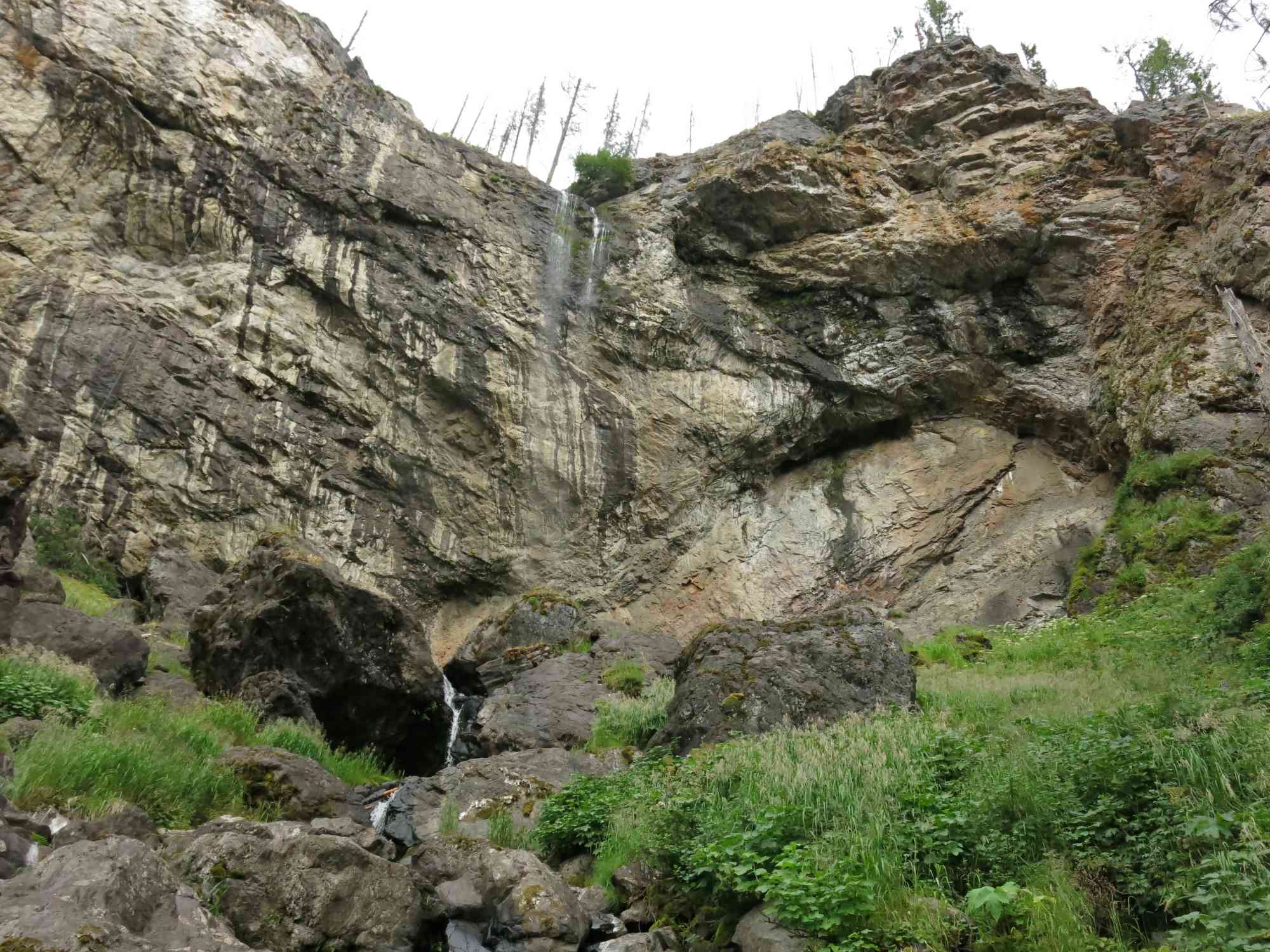
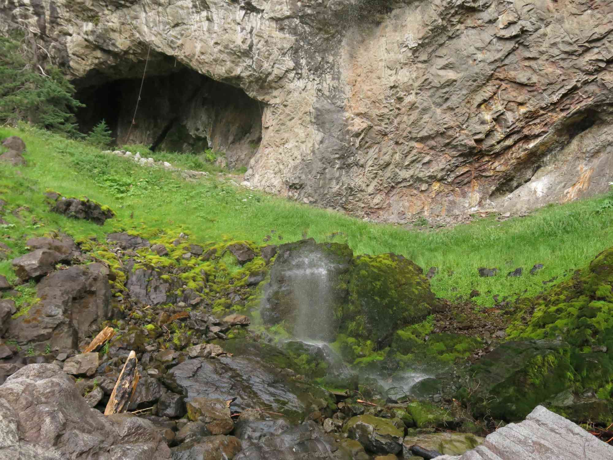
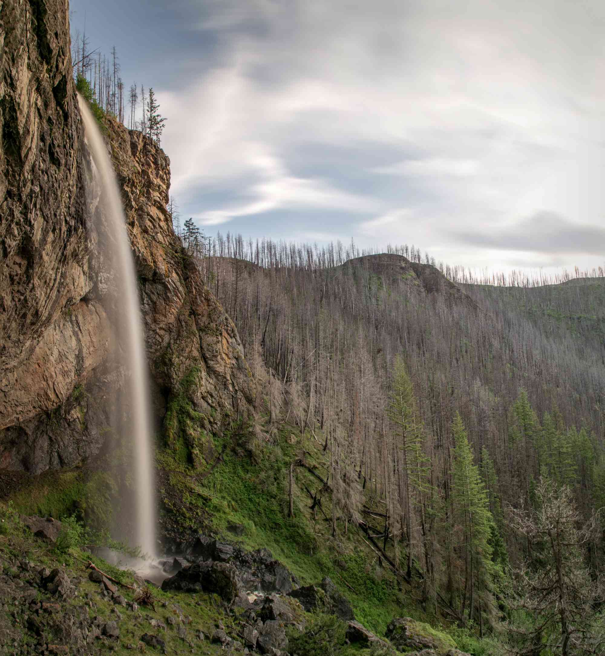
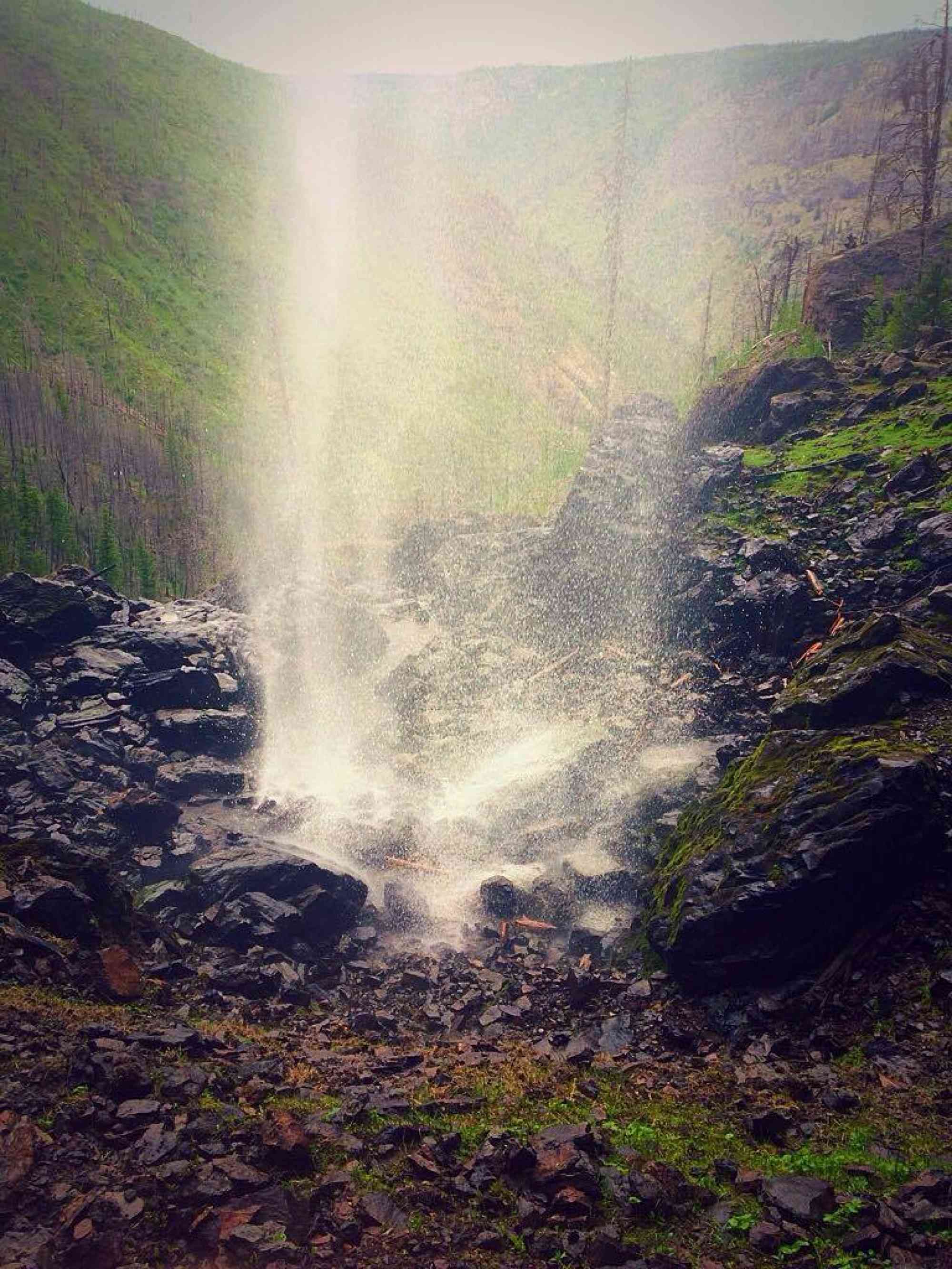
A rough drive, and steep hike descent, to a super-tall waterfall that you can walk behind!
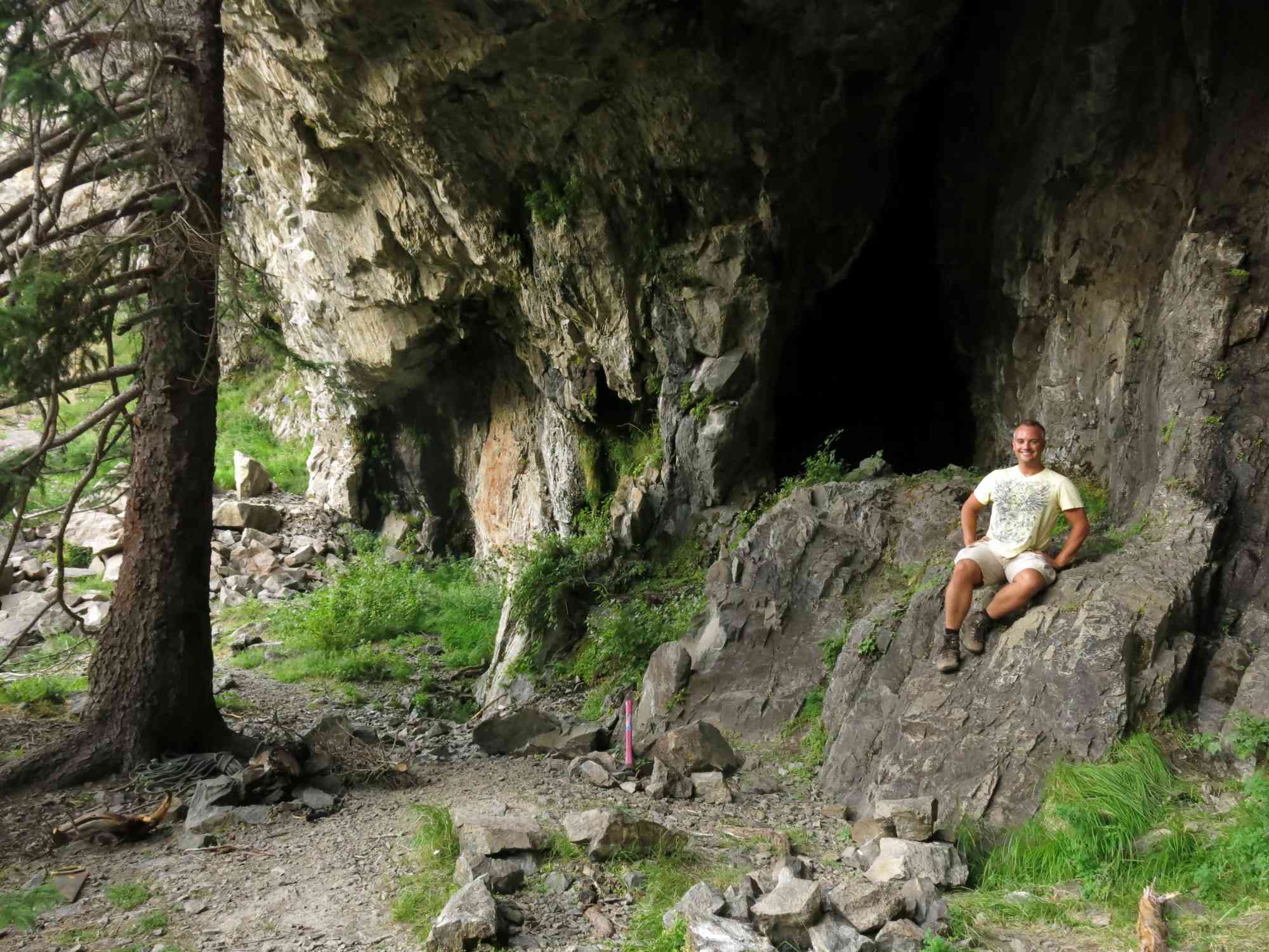
After driving past Bear Creek, the adventure to this trailhead takes you on a well maintained forest service road for approximately half an hour. The hike is short, but the Christie Falls trail results in a beautiful waterfall, and a small cave to explore!
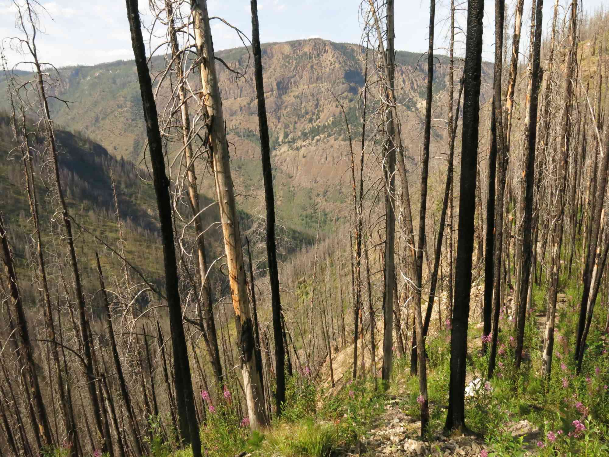
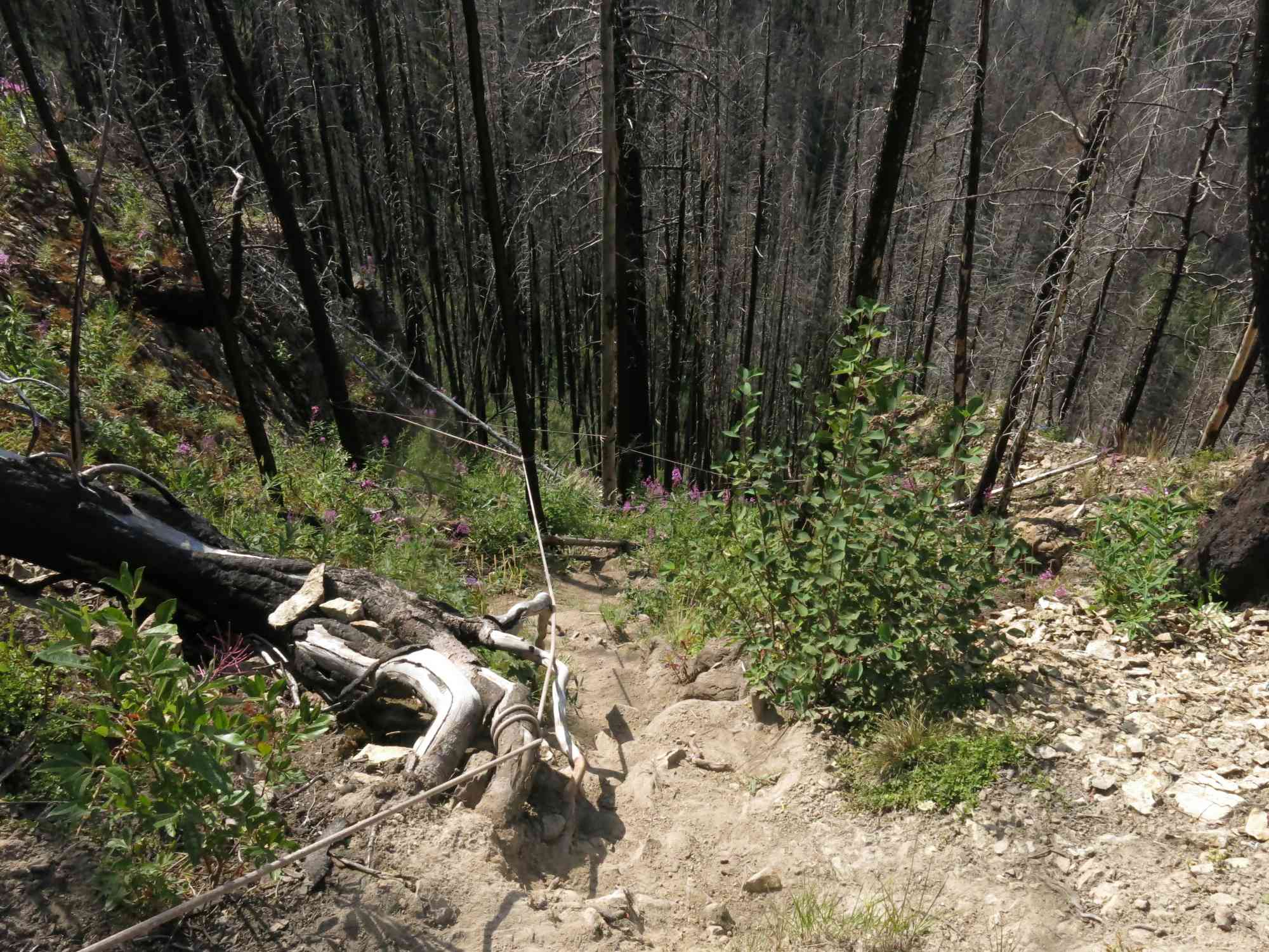
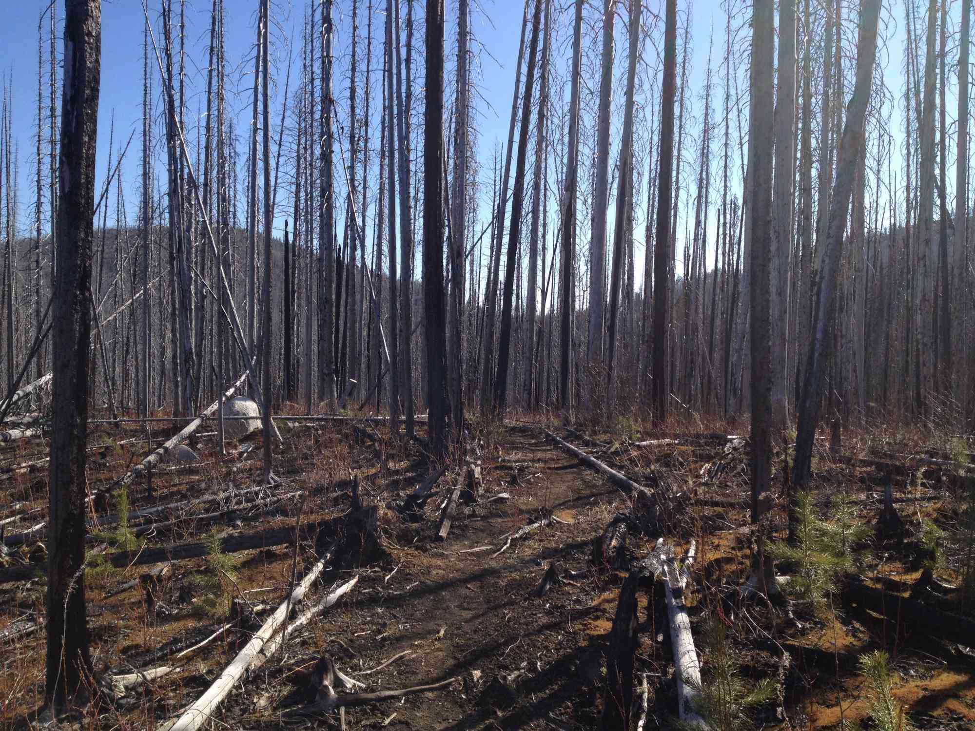
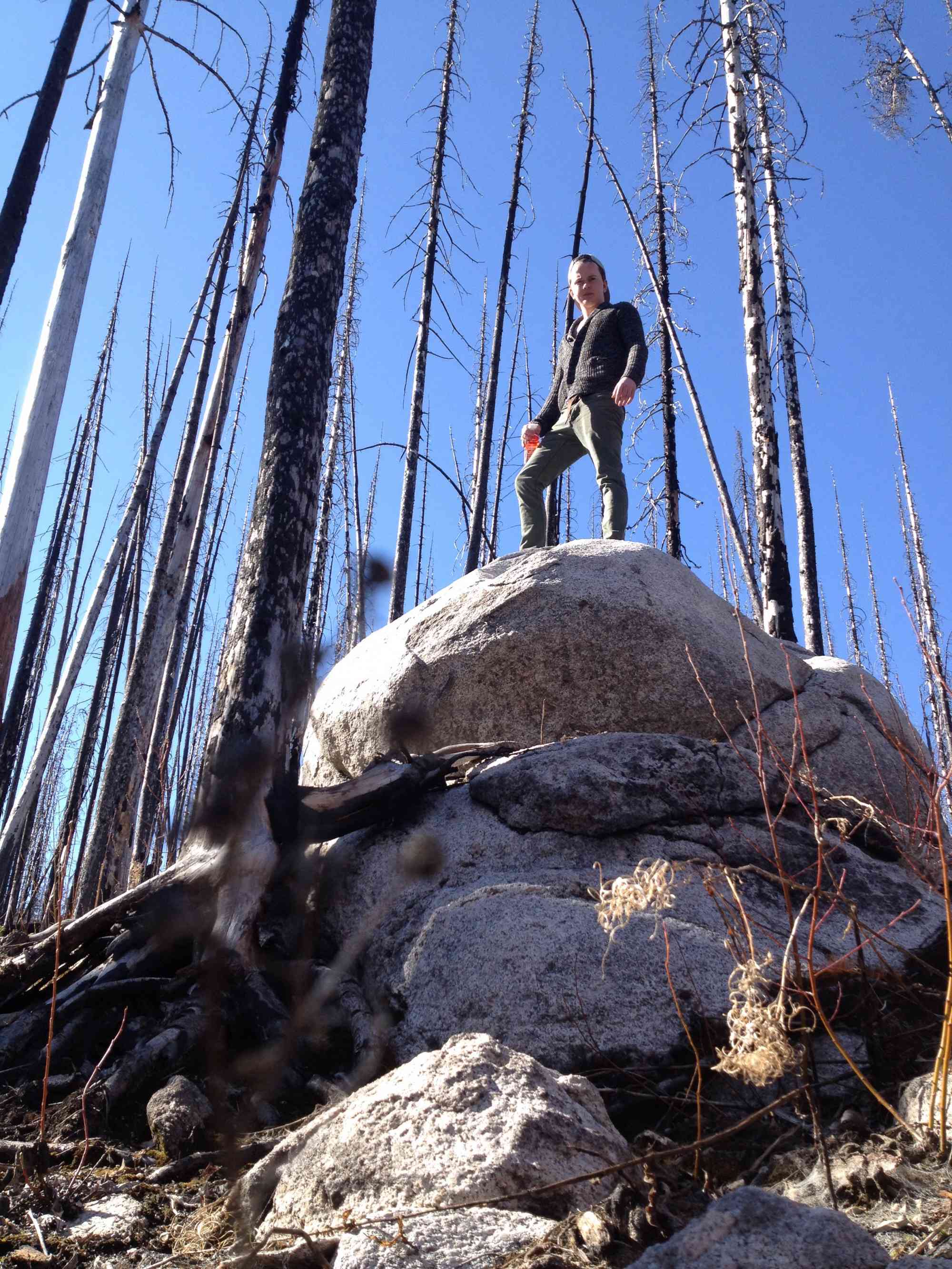
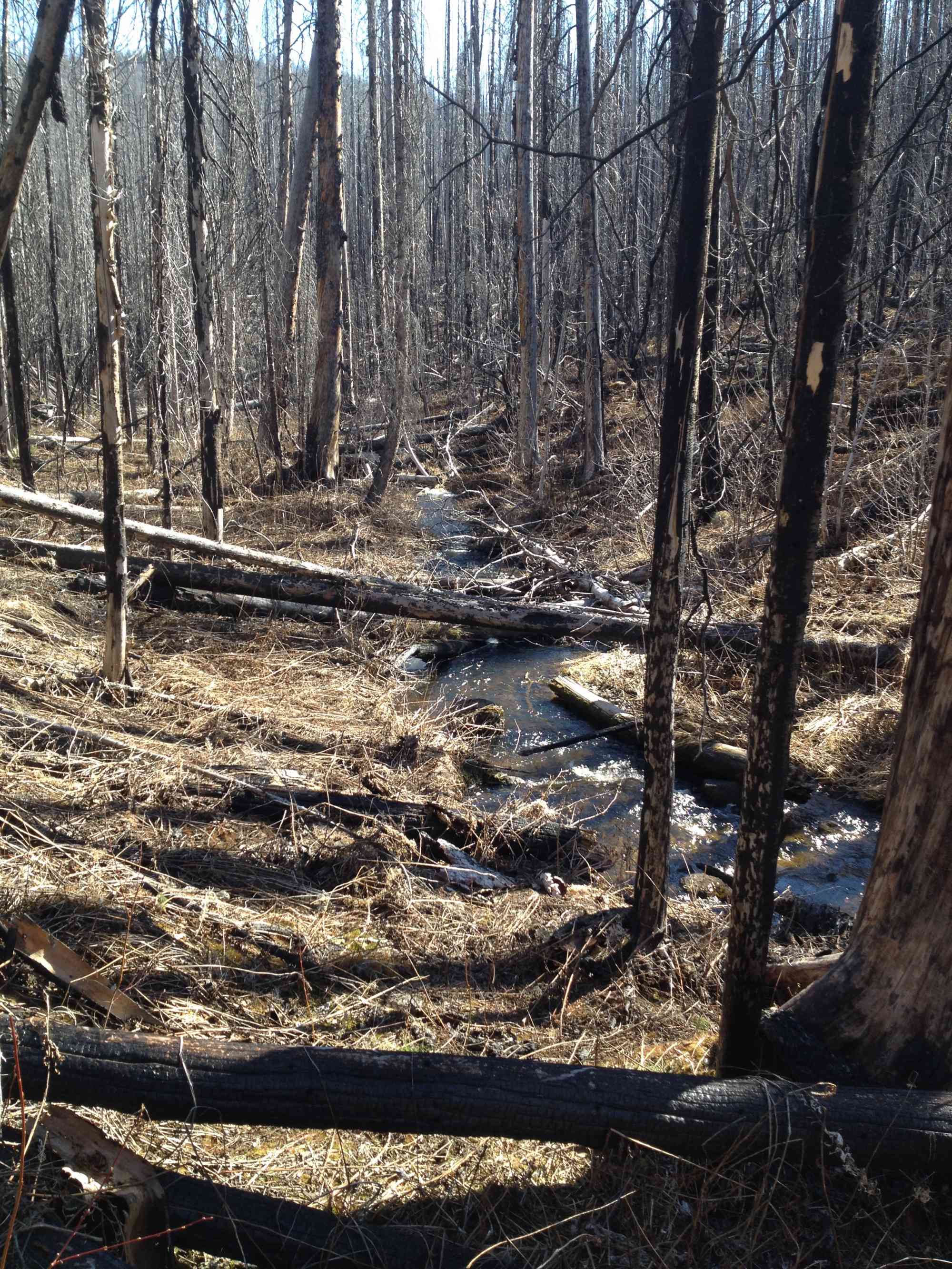
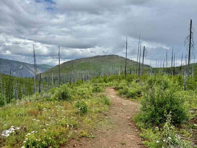
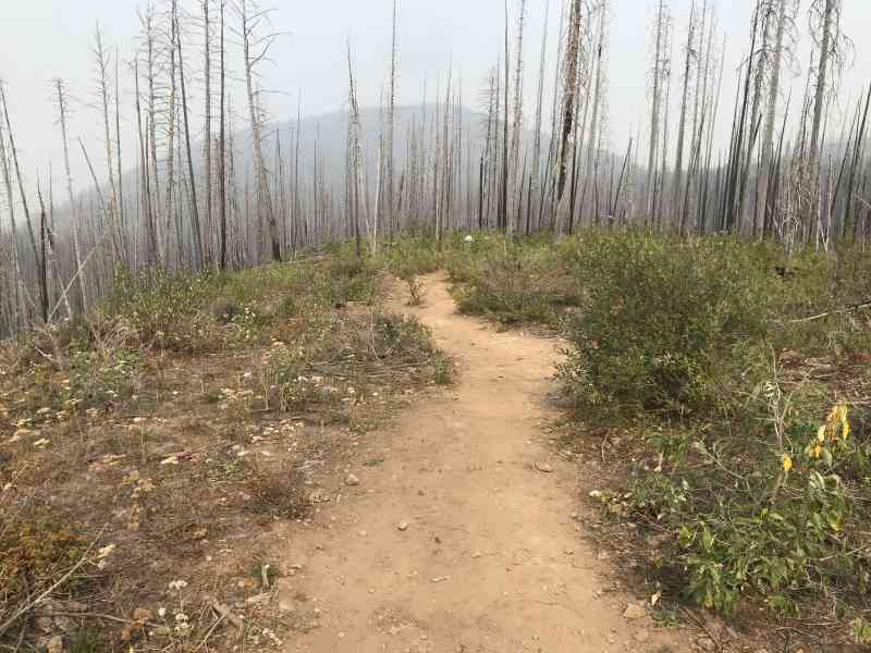
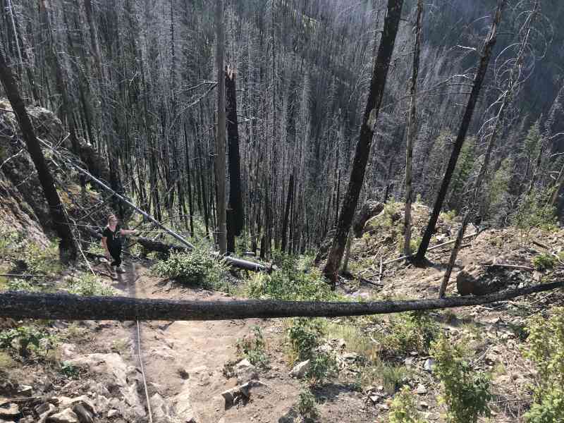
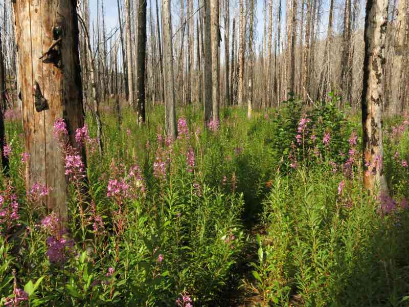
The hike is a slightly difficult following a path through a forest that suffered during the 2009 Terrace Mountain fire. It is flagged for direction and also includes a steep decline. A cave is accessible by the waterfall, and is ideal for climbing. The area is frequented by climbers and is used during the summer and winter for the sport.
This trail should not be done until at least June 1st due to its high level of elevation and shade. More than likely access will be blocked by ground snow cover.

Route
Kids & Pets
Features
Address
Driving Time
From Downtown Kelowna, approximate travel time by car is 1 hr.
Notable GPS Co-ordinates
Detailed Directions
Suitable dirt road for all cars. This includes 28.1 km on a rough dirt road which takes 45 to 60 minutes, depending on your driving comfort level.
- From downtown Kelowna, head into West Kelowna across the bridge.
- Take the Westside Road exit.
- Head north on Westside road past Bear Creek park.
- Turn left on the Bear Lake Main (1.5 km north of Bear Creek park) with signs for MX Track/Burnco Rock Products
- At 6.9 km ignore the fork to the right which goes to Bear Creek OHV
- At 9.6 km ignore the second entrance to Bear Creek OHV on the right
- At 11.8 km (just before the 13 km marker), turn RIGHT on Esperon FSR (labelled with signage 2022)
- RESET ODOMETER
- At 9.7 km keep stay on the main road, keeping left.
- At 10 km pass Big Horn Dam on the left.
- At 10.5 km (24 km marker) turn RIGHT onto Christie just past Big Horn Dam heading uphill.
- RESET ODOMETER
- At 3.0 km, keep right on the main road, ignoring the fork to the left.
- At 3.5 km (9 min or so), turn LEFT on a dirt road (signs for Christie Falls)
- Drive 2.2 km to end and arrive at parking lot with trailhead.
ALTERNATIVE: For 4x4ing drivers, alternatively drive all the way up to the unlabelled (ask us for a GPS log) Terrace Mountain Road turn-off for a more adventurous route. This road has been deactivated and has numerous gutted out deactivations in the road. The turn-off is approximately 30-35 min up from downtown Kelowna, plus 40-60 minutes on the dirt road.
- Reset odometer at turn-off from Westside Rd. Warning: Distances are APPROXIMATE.
- At 1.3 km, keep right.
- At 1.73 km, keep left on main road.
- At 4.08 km, keep left.
- At 6.55 km, keep right.
- At 13.59 km, keep right.
- At 16.78 km, keep right.
- At 19.02 km, keep right (left is Terrace Mtn)
- At 22.97 km, turn right w/signs for Christie Falls.
- Drive to end of road.
Google Directions
Duration Calculator
The metrics for this trail have been converted to round-trip formation for distance and elevation gain/descent if necessary.
We have a downloadable GPS map for this trail!
Last Updated on Sunday, January 26, 2025
Need help using it? See our FAQ.
Has anyone been up to the falls in the last week or so? what the conditions are like? I'm think of going there on Monday 13/17. I think snowshoes are a must.
Wednesday, March 8, 2017 at 11:29 AMFolks trying to access this area in the winter, now that it is more publicized, should be aware of the following:
Monday, March 27, 2017 at 9:55 AMNearest parking area will be on Esperon Main FSR, at Big Bar Reservoir. (23-24 km mark) Be aware there is no guarantee that Esperon Main FSR will be open in the winter all the way to this point. The snow line remains here well into April. The hike in to the falls in the winter is 7km one way = allow for 5hr round trip on snow shoes. The access trail down to the falls in the winter is not for the casual hiker. (This is why the rope assist was put in) Once at the falls, given freezing temperatures, everything is ice. The ice stays here longer, because this canyon location faces north and receives very limited direct sunlight. Crampons are necessary to navigate around the frozen/wet wall weeps, gallery of ice, and icefall itself. If you break a bone here it is a long trip out. That said, properly equipped as a group, with food, water for the full day's trip it is a very cool destination. Of note - you are outside of cellphone range.
Last leg of drive inaccessible as of yesterday due to heavy snow on the road still.
Monday, May 8, 2017 at 8:30 AMRoads are all clear up to the trail head (May 25/18), but some significant pot holes along the way. Falls are spectacular this time of year though.
Friday, May 25, 2018 at 6:58 PMLeave a comment
You must Login to post a comment!