
Keremeos Columns Provincial Park
Keremeos Columns Provincial Park
Keremeos
8 min from Downtown Keremeos
2795 Liddicoat Rd, Keremeos, BC V0X 1N4This short day hike through sagebrush country leads you to formations created from volcanic activity that occurred around 30 million years ago.
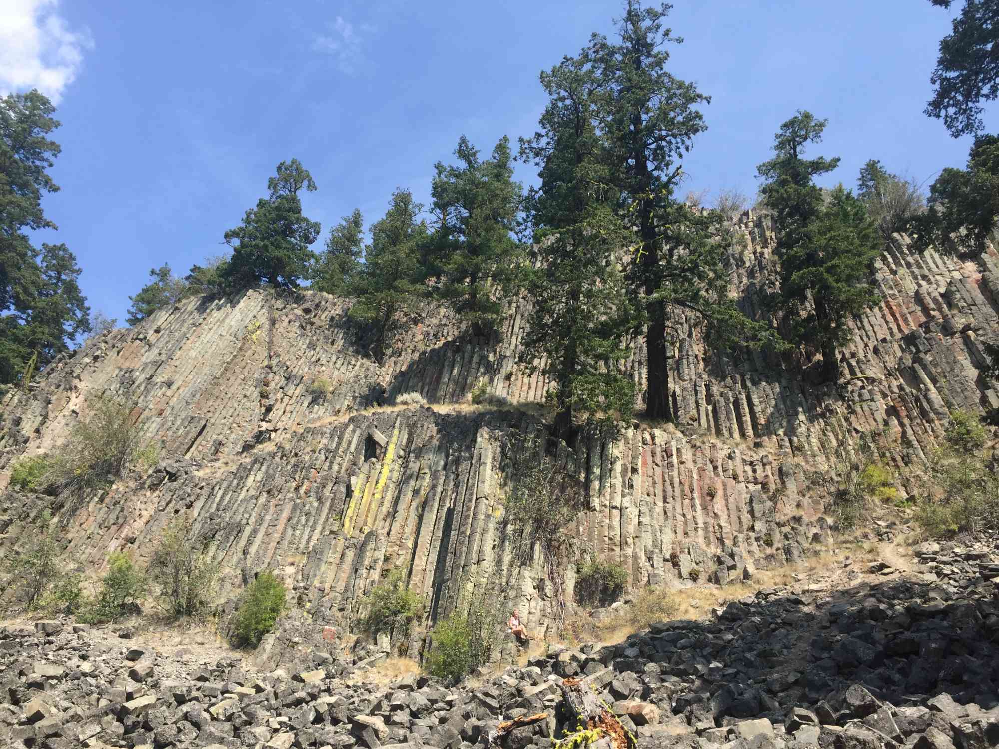
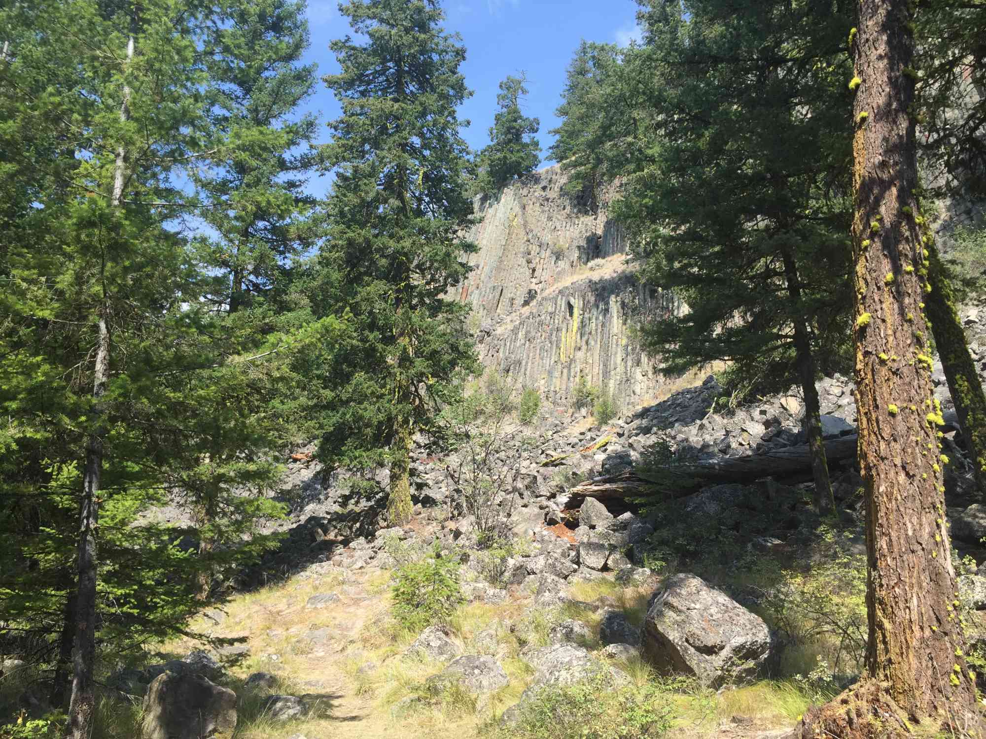
The Keremeos Columns are made of basalt, the result of cooled lava and stand at a spectacular 30m high. They share the same geological phenomenon status as Northern Ireland's "Giant Causeway" and Wyoming's "Devil's Tower."
The old trail involved some elevation and ended in a steep incline. The actual columns lie out of provincial park boundaries on private property. Our GPS log was recorded when access was permitted. To use this particular route, permission must be obtained from the landowners. We do not have their contact information.
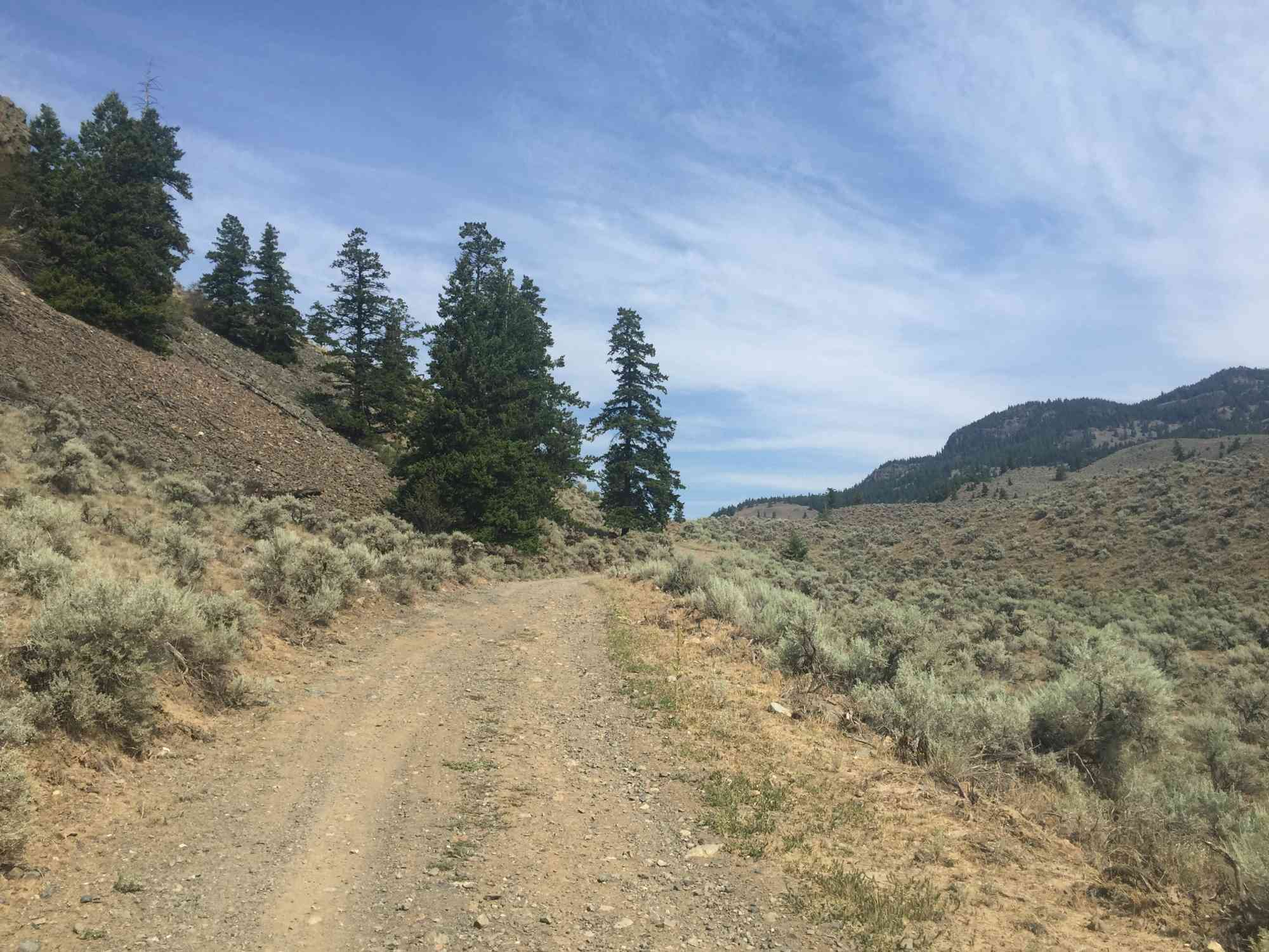
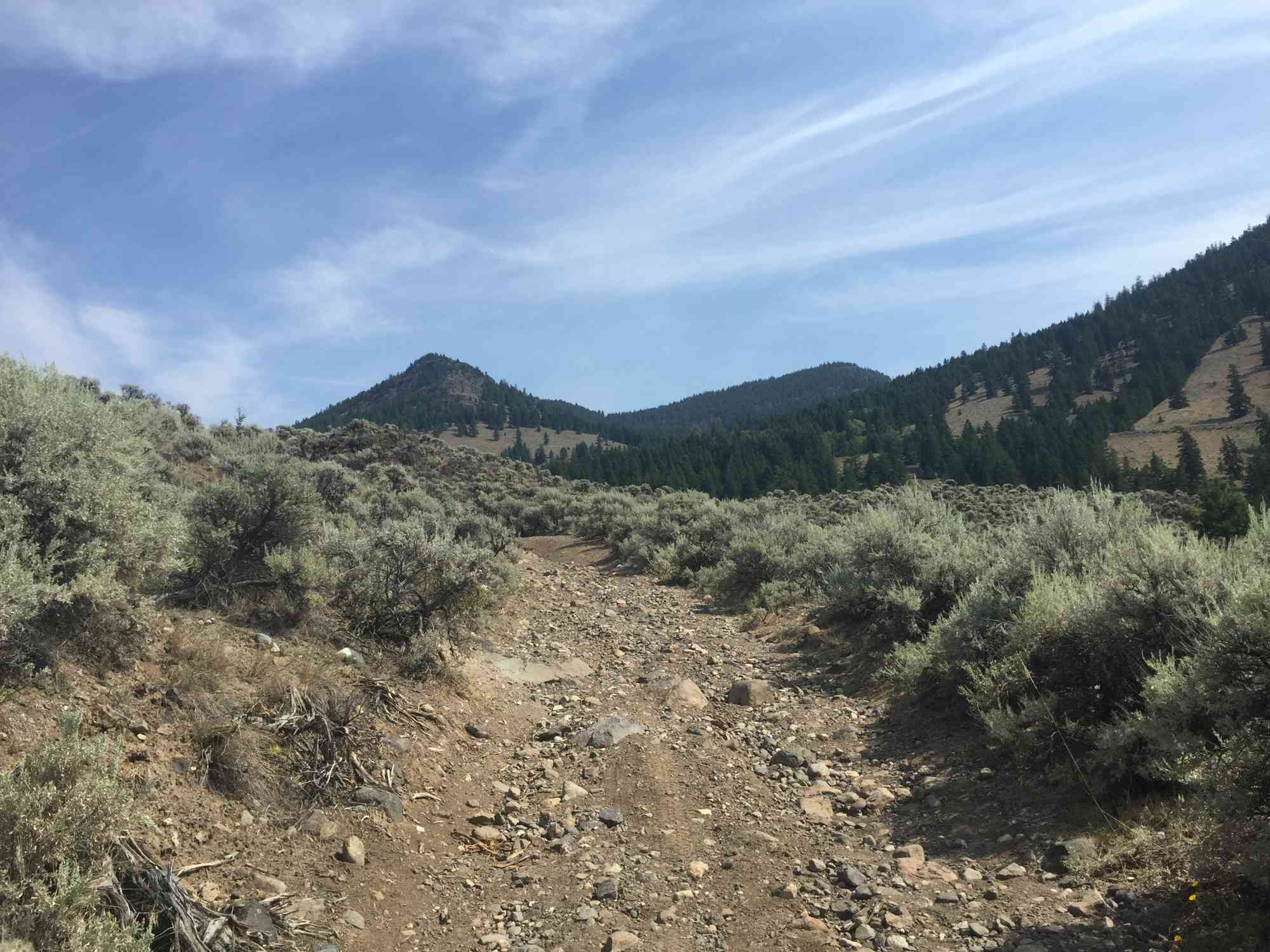
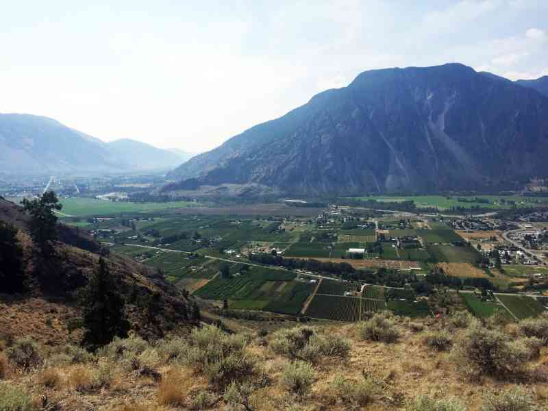
As of 2022, there are no developed trails within the park itself, so hikers must prepare for a route-finding adventure, but views are available of the columns while staying within the park! Sturdy shoes are recommended.
A roundtrip to visit the Keremeos Columns takes between three to four hours for active adults and can be extremely hot during the summer, make sure to bring plenty of water and watch out for rattlesnakes among other wildlife such as deer.
For more information:
http://www.env.gov.bc.ca/bcparks/explore/parkpgs/keremeos/
The Keremeos Columns are made of basalt, the result of cooled lava and stand at a spectacular 30m high. They share the same geological phenomenon status as Northern Ireland's "Giant Causeway" and Wyoming's "Devil's Tower."
The old trail involved some elevation and ended in a steep incline. The actual columns lie out of provincial park boundaries on private property. Our GPS log was recorded when access was permitted. To use this particular route, permission must be obtained from the landowners. We do not have their contact information.
As of 2022, there are no developed trails within the park itself, so hikers must prepare for a route-finding adventure, but views are available of the columns while staying within the park! Sturdy shoes are recommended.
A roundtrip to visit the Keremeos Columns takes between three to four hours for active adults and can be extremely hot during the summer, make sure to bring plenty of water and watch out for rattlesnakes among other wildlife such as deer.
For more information:
http://www.env.gov.bc.ca/bcparks/explore/parkpgs/keremeos/

Route
Kids & Pets
Features
Address
Driving Time
From Downtown Keremeos, approximate travel time by car is 8 min.
Notable GPS Co-ordinates
Detailed Directions
2. Head North on Highway 3A
3. Tun RIGHT on Liddicoat Rd (at Tree to Me).
4. After 1.1 km, turn LEFT to stay on Liddicoat Rd (instead of continuing straight on Pincushion Trail) and park immediately at the unmarked parking area on the left.
5. Begin your hike up the road!
For more details:
http://www.env.gov.bc.ca/bcparks/explore/map.html
Google Directions
Linear Trail
Duration Calculator
The metrics for this trail have been converted to round-trip formation for distance and elevation gain/descent if necessary.
Estimated Time:
-- hours
We have a downloadable GPS map for this trail!
Last Updated on Sunday, January 26, 2025
Need help using it? See our FAQ.Map Waypoints
GPS Notes
Gave the Cliftons a call this morning asking about access to the columns and she let me know that the columns are closed and they no longer allow people through.
Saturday, March 21, 2020 at 9:20 AMPlease call before you attempt to go through their property if you need confirmation yourself ... but this is their personal phone number and I’m sure they would appreciate if we took this information down and left them alone.
https://bcparks.ca/explore/parkpgs/keremeos/
Monday, March 29, 2021 at 11:20 AMPublic access to the column features is not permitted
Keremeos Columns Park does not contain the geological features that were intended to be protected at the time of establishment in the early 1930s. The column features are fully contained on private land. At this time, public access to the column features is not permitted. Viewing of the column features must be done so by using valley bottom vantage points that do not involve encroachment or access onto private land.
Please note that some accesses to the Columns are through private land, which is closed to the public
Please observe posted signs and do not trespass on private property.
Every time some one decides to ignore this, it is yet another years delay in getting the family to agree to let hikers have access to the columns feature. Please be respectful of their wishes.
Leave a comment
You must Login to post a comment!