

Knox: Apex
Knox: Apex
Downtown
4 min from Downtown Kelowna
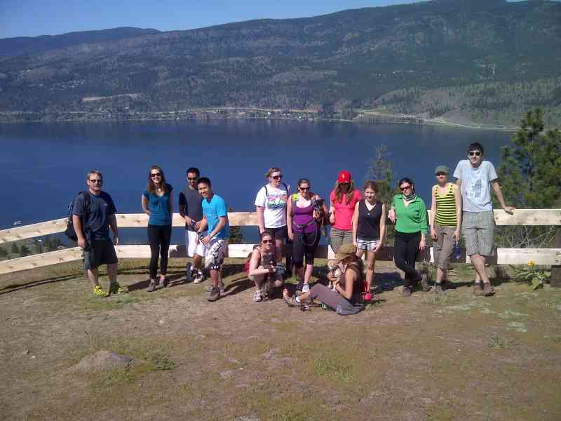
920 Knox Mountain Dr, KelownaThe Apex trail of Knox Mountain can be a test of strength and hiking ability as it leads you up steep sections to eventually reach the upper lookout. Once at the top, breathtaking views of Lake Okanagan, West Kelowna and downtown Kelowna await.
The Apex trail can be started from the bottom of Knox Mountain or you can drive up to the parking lot and take the path on the right just before Paul's Tomb (the trail should be signed). There are several forks in the path but they all eventually lead to the top.
The Apex trail takes about an hour and on a hot day can be tiring; do bring plenty of water. As it is an unpaved path the route has some areas of loose rock and can be slippery after rainfall; sturdy footwear is recommended.
Recent improvements have been made to the trail to repair erosion caused by heavy rain and regrow vegetation damaged by heavy use of the trail. Please respect the sections where restoration is in process.
In 2012, grizzly bears were allegedly sighted in this area; please be bear aware.


Route
Kids & Pets
Features
Address
Driving Time
From Downtown Kelowna, approximate travel time by car is 4 min.
Notable GPS Co-ordinates
Detailed Directions
Google Directions




Non-loop Route
Personal Hiking Time Estimate
Estimated total time
Estimated energy
calories
We have a downloadable GPS map for this trail!
Last Updated on Sunday, January 26, 2025
Need help using it? See our FAQ.GPS Notes
Comments
Leave a comment