
Mount Boucherie: Eain Lamont Loop
Mount Boucherie: Eain Lamont Loop
West Kelowna
14 min from Downtown Kelowna
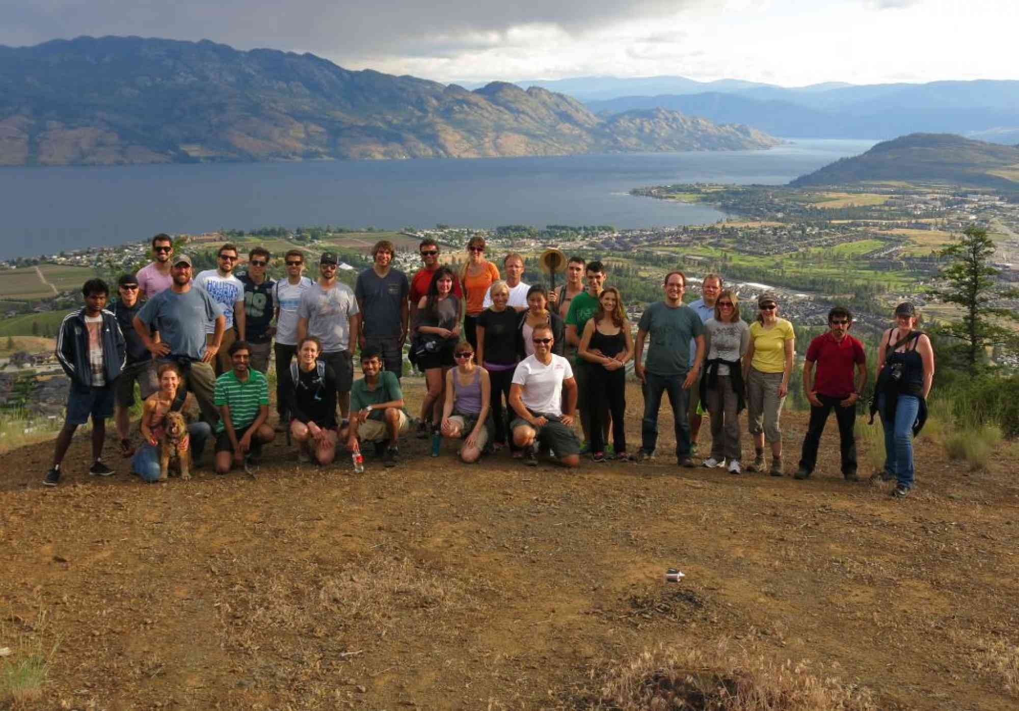
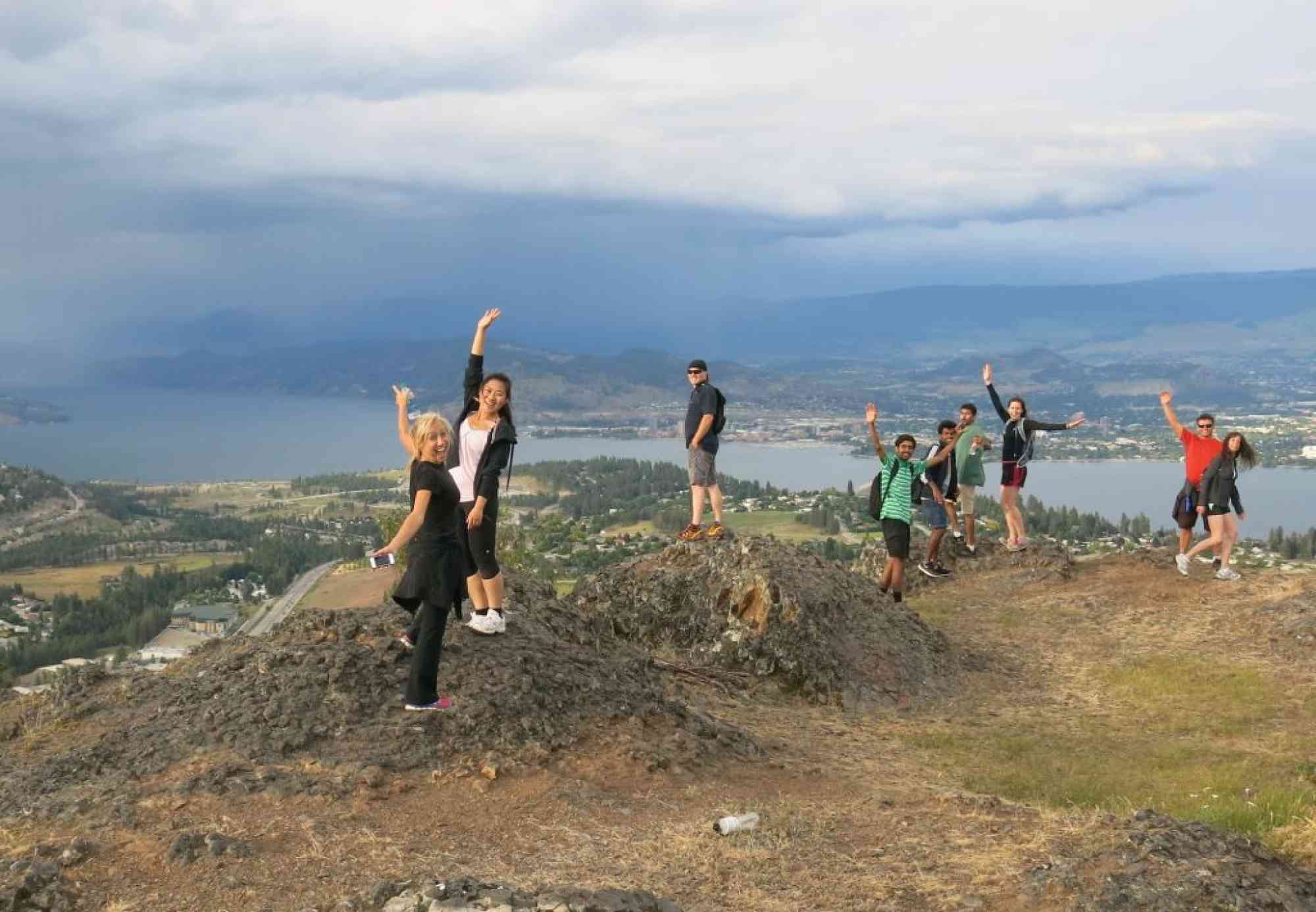
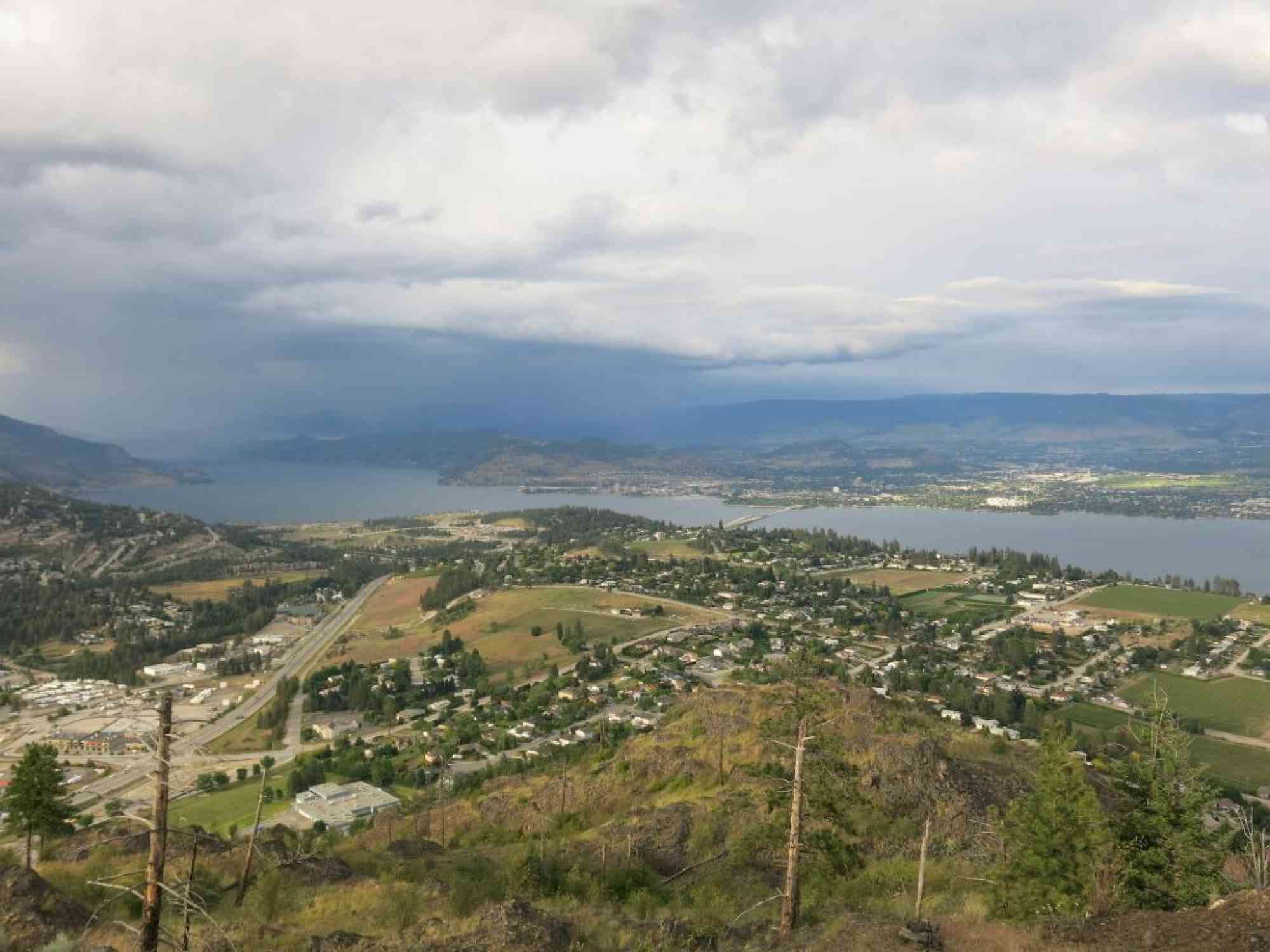
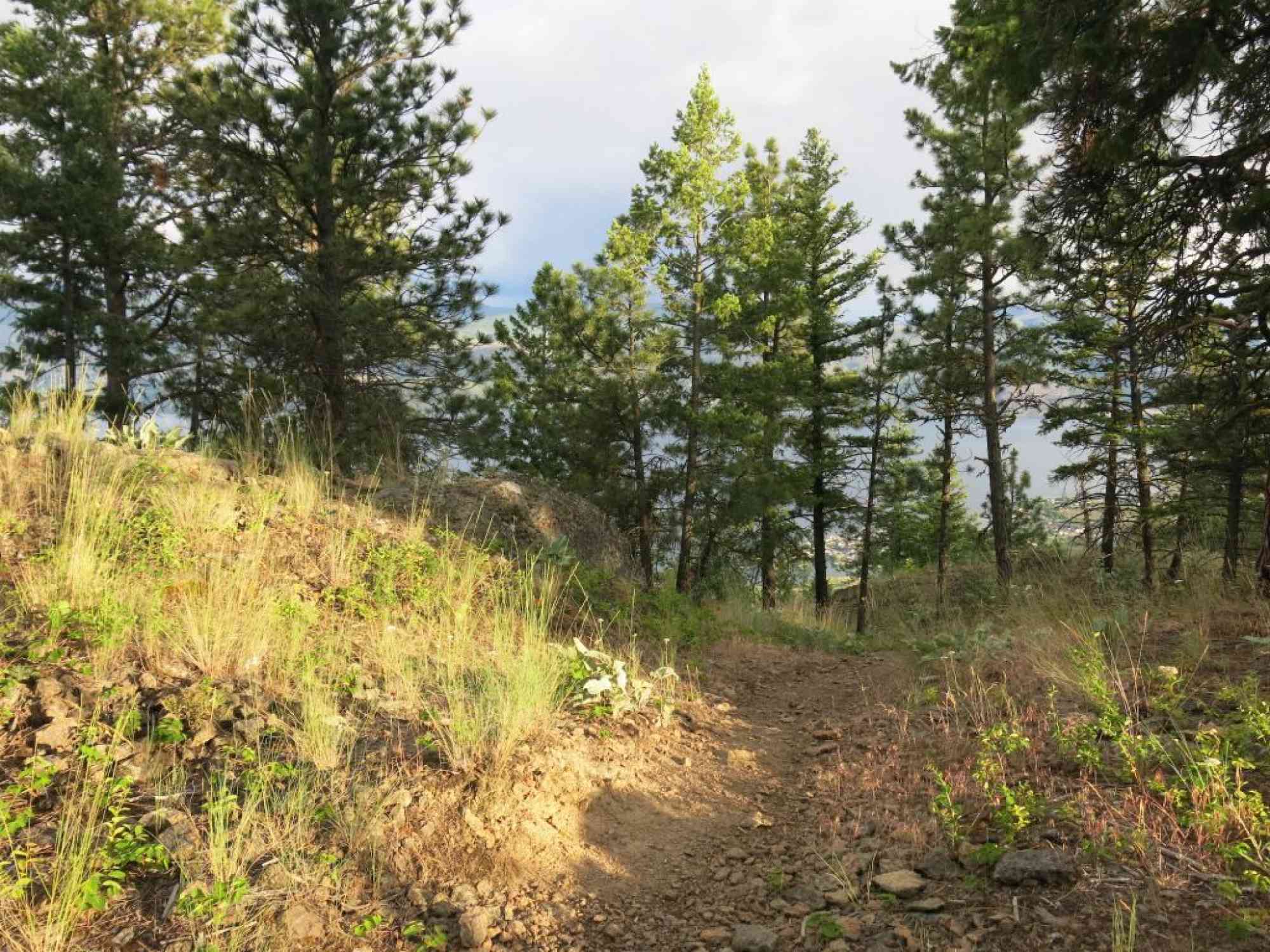
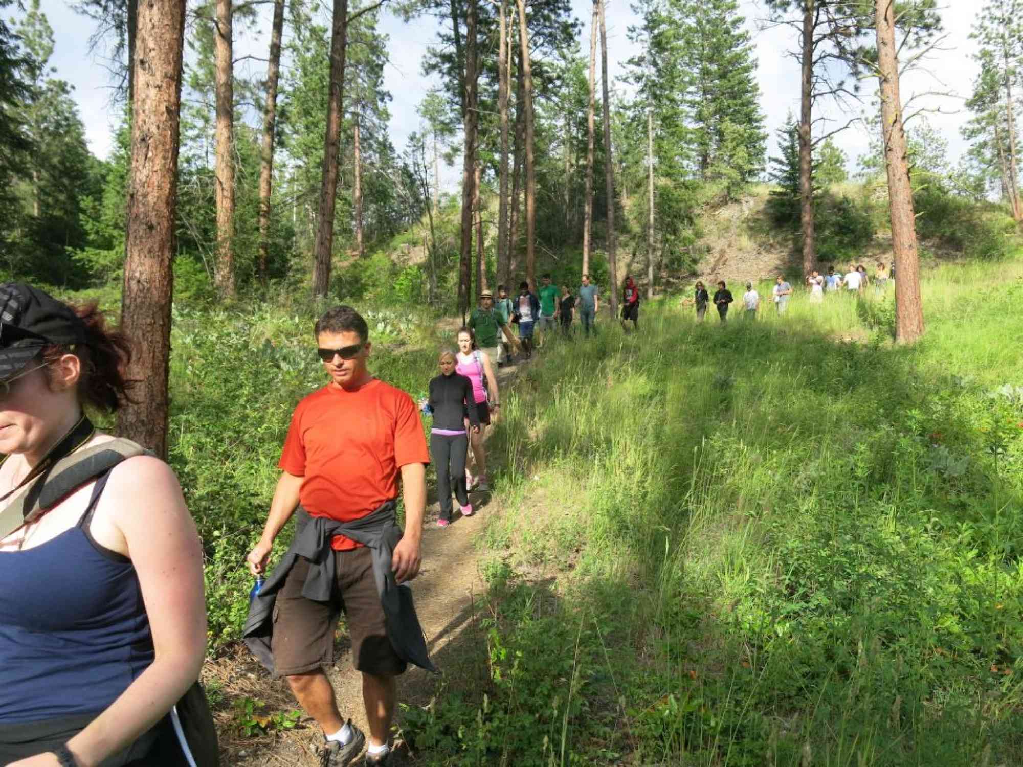
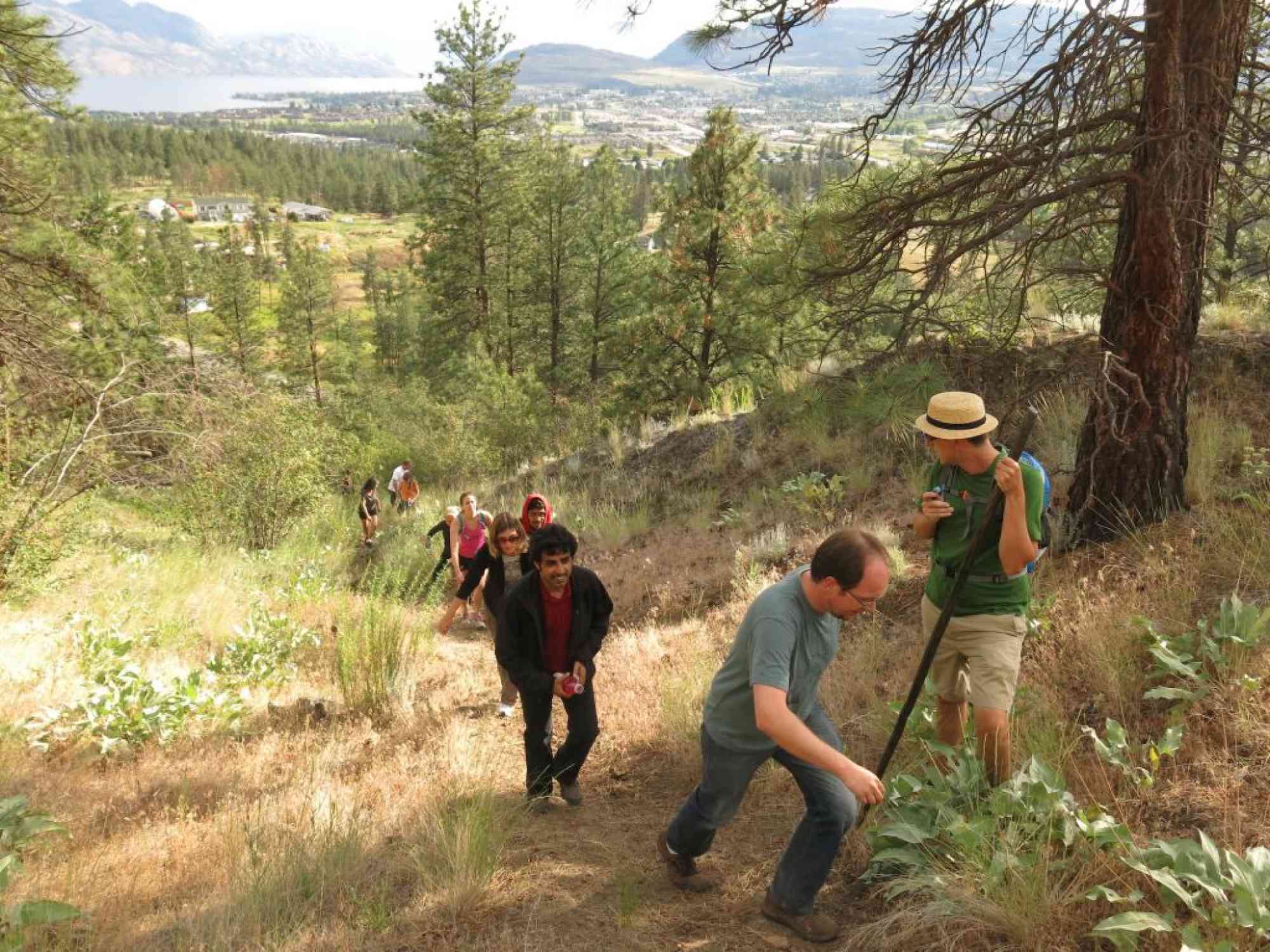
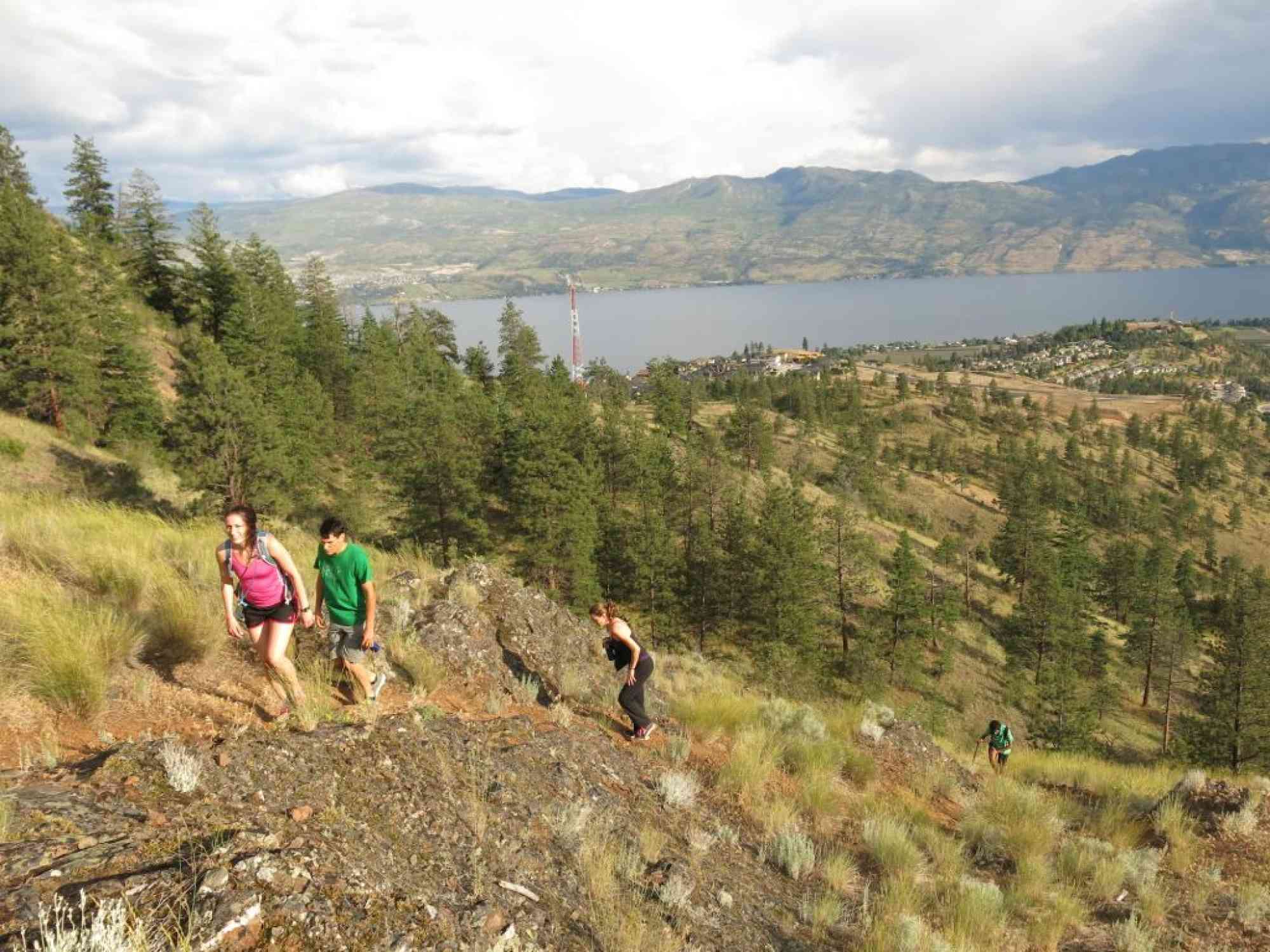
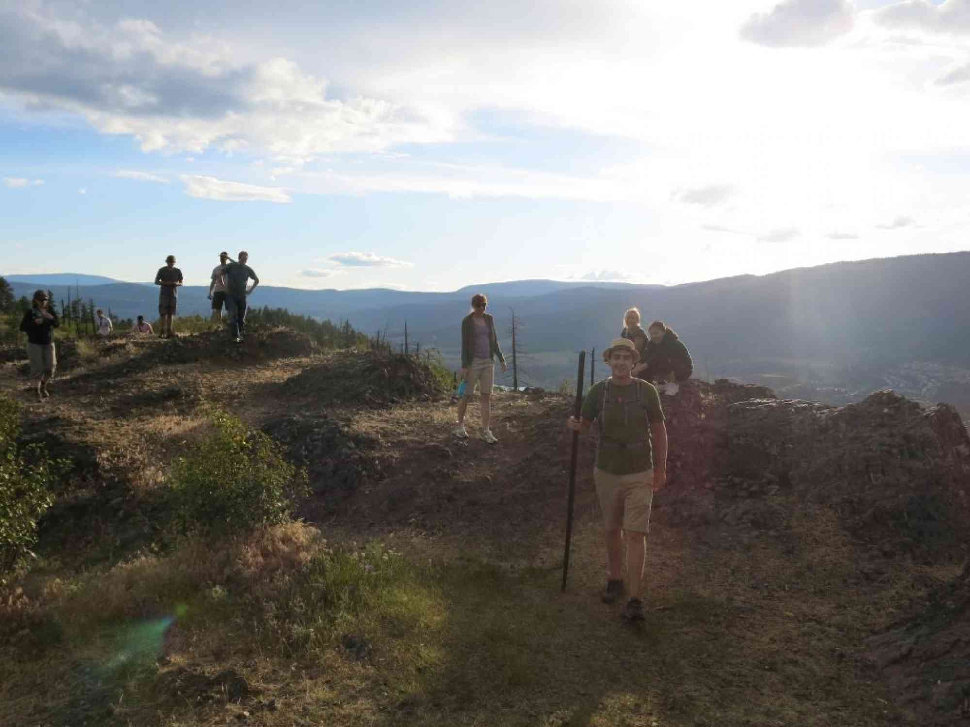
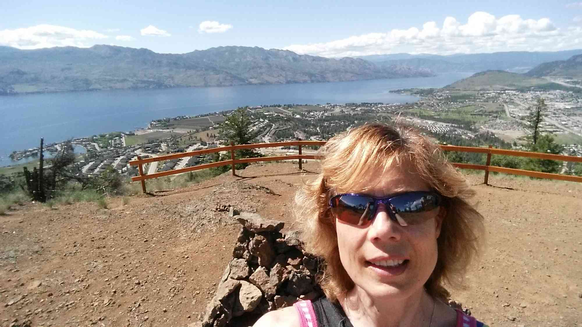
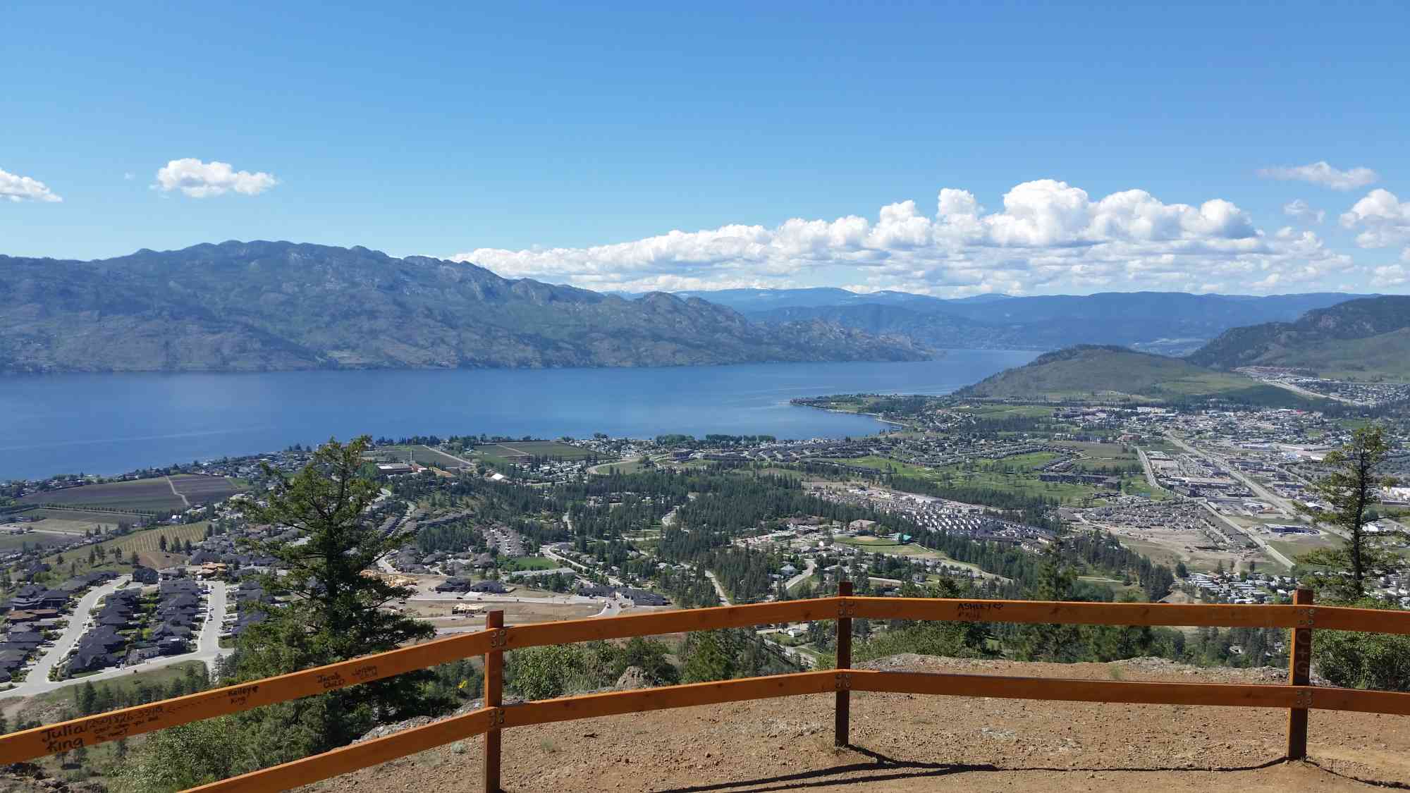
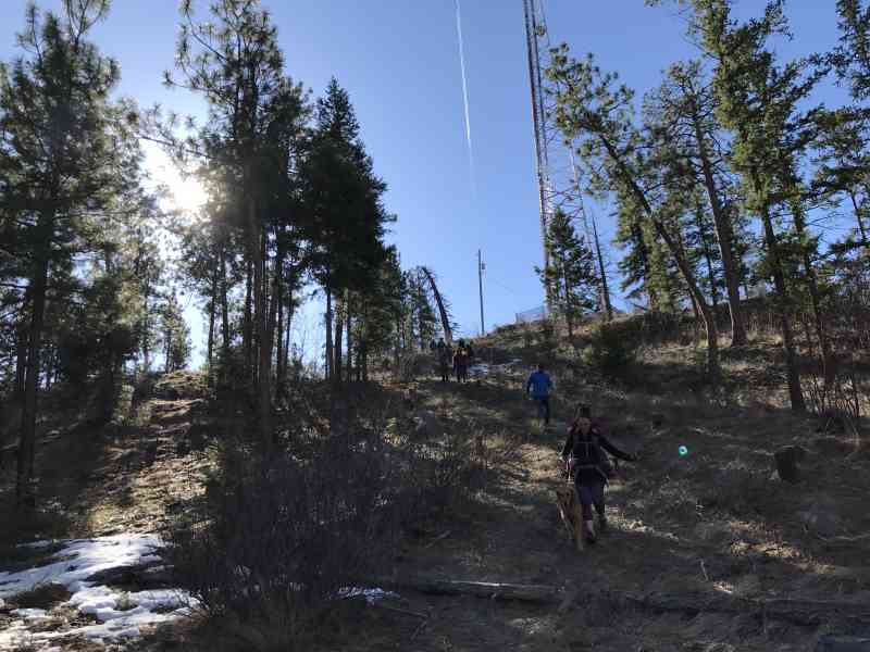
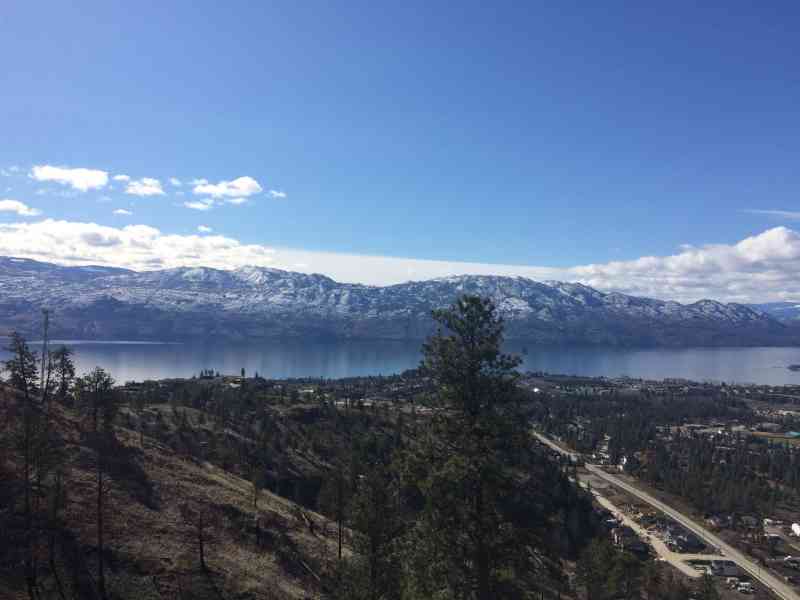
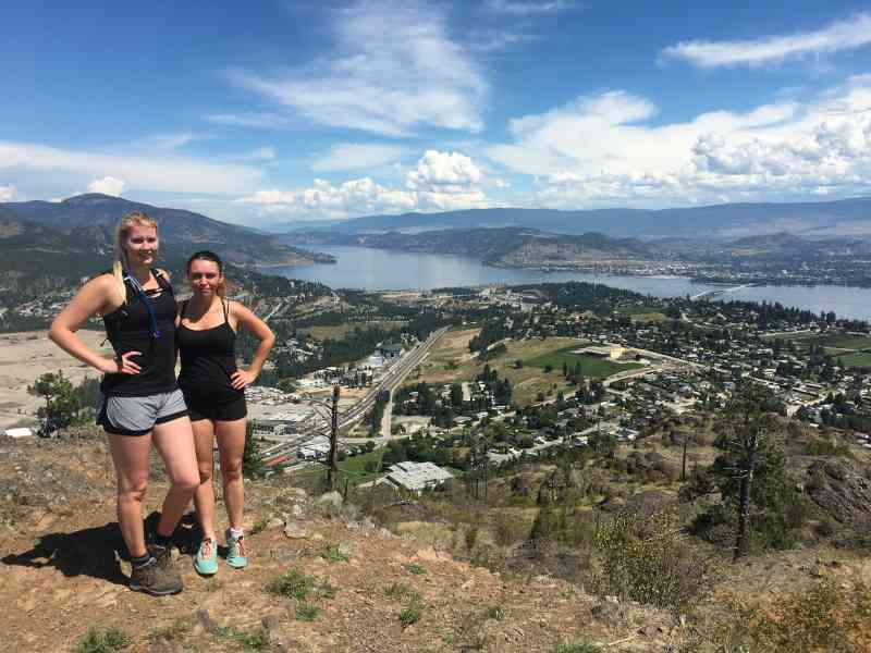
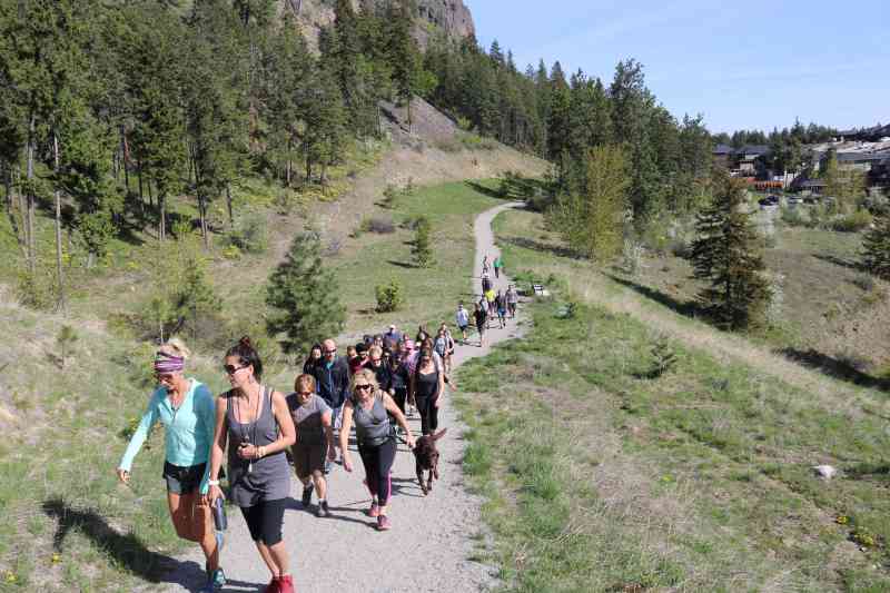
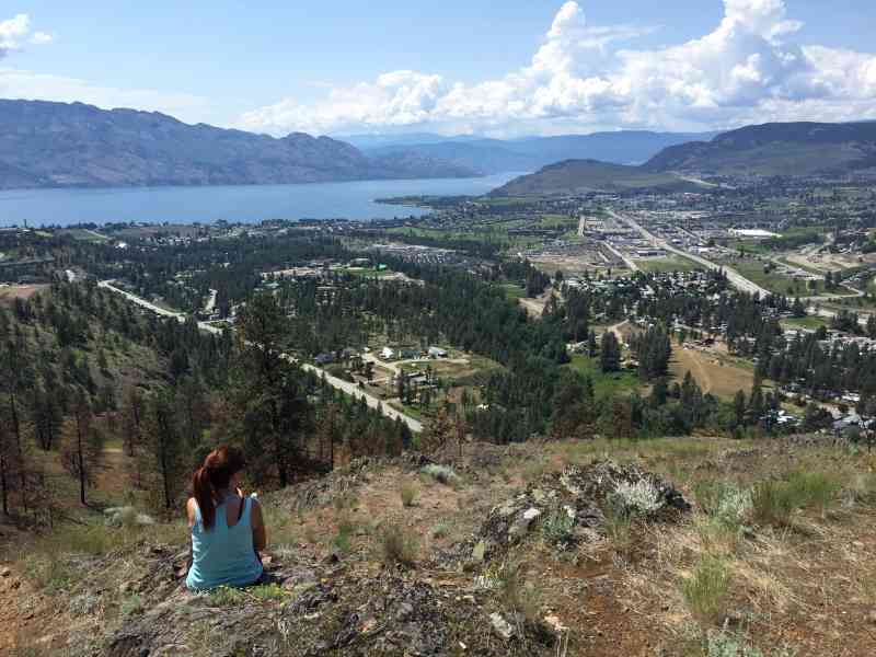
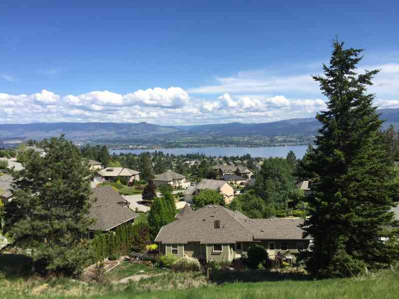
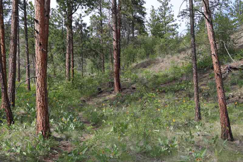
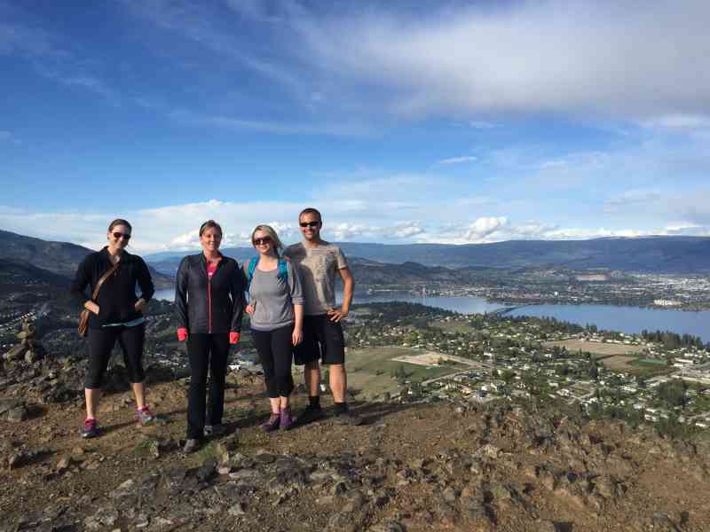
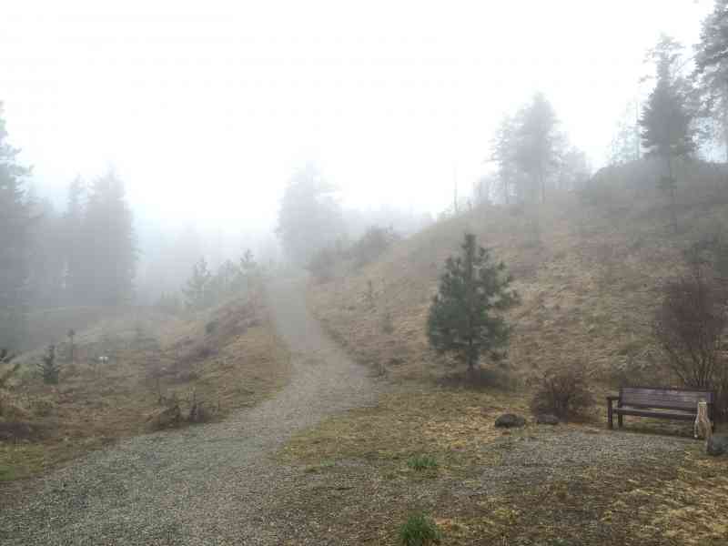
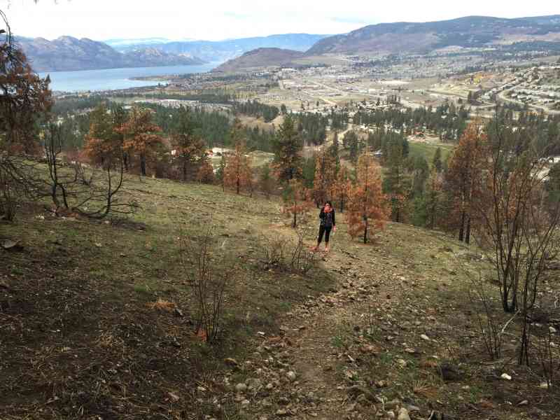
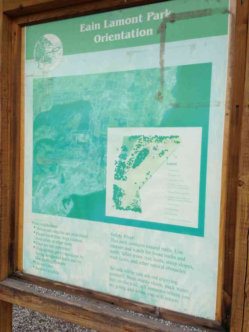
3088-3090 Lakeview Cove Rd, West Kelowna, BC V1Z 3P6, CanadaThis is the "official" entrance to Mount Boucherie. If parking after 6pm, park OUTSIDE the gates on the street or you'll get locked in! Offers a spectacular forested walk, and stunning view of downtown at the summit.
Route
Kids & Pets
Features
Address
Driving Time
From Downtown Kelowna, approximate travel time by car is 14 min.
Notable GPS Co-ordinates
Detailed Directions
2) Turn LEFT on Westlake Rd/Hudson Rd
3) Turn RIGHT on Guidi Rd
4) Turn RIGHT on Trevor Dr (which becomes Lakeview Cove Rd)
5) Turn RIGHT to stay onto Lakeview Cove Rd
6) Park outside the gates on your left to avoid getting locked in.
Google Directions
Duration Calculator
The metrics for this trail have been converted to round-trip formation for distance and elevation gain/descent if necessary.
Estimated Time:
-- hours
We have a downloadable GPS map for this trail!
Last Updated on Sunday, January 26, 2025
Need help using it? See our FAQ.GPS Notes
Is the hike at 10am tomorrow? And where is the meeting spot. I've always done the trail the start by mount boucherie secondary. Thanks! I'm excited to go hiking tomorrow
Saturday, April 16, 2016 at 3:44 PMGood hike but best to go on the weekend right now, there is construction on the mountain and you can hear it at all times, not the best!
Friday, May 24, 2019 at 1:16 PMLeave a comment
You must Login to post a comment!