Okanagan Mountain Park: Commando Bay Viewpoint Loop
Okanagan Mountain Park: Commando Bay Viewpoint Loop
Kettle Valley
30 min from Downtown Kelowna
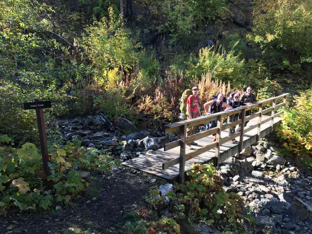
5937-5941 Lakeshore Rd, Kelowna, BC V0H, CanadaThis "loop" begins at the north parking lot and after a short ascent, descends down to Deeper Creek around the 1.3 km mark. Around the 2.8 km, after over 200 meters of elevation gain, optionally take the loop around the marked viewpoint. Roughly around 5.75 km, the CN Trail intersects Wild Horse Canyon Trail. While it is possible to continue left onto While Horse Canyon, save yourself 0.5 km by following the lesser used trail directly ahead of you. Do not get this confused with the trail to the right which we'll call "Exit Fork via Horse Creek" for future reference.
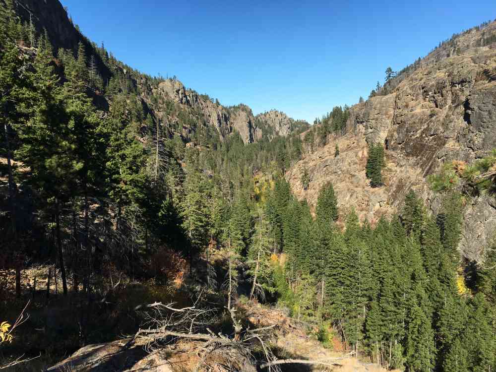
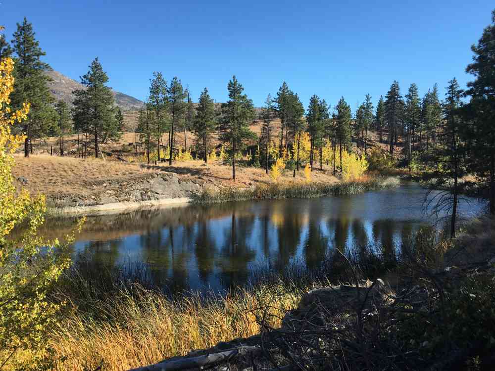
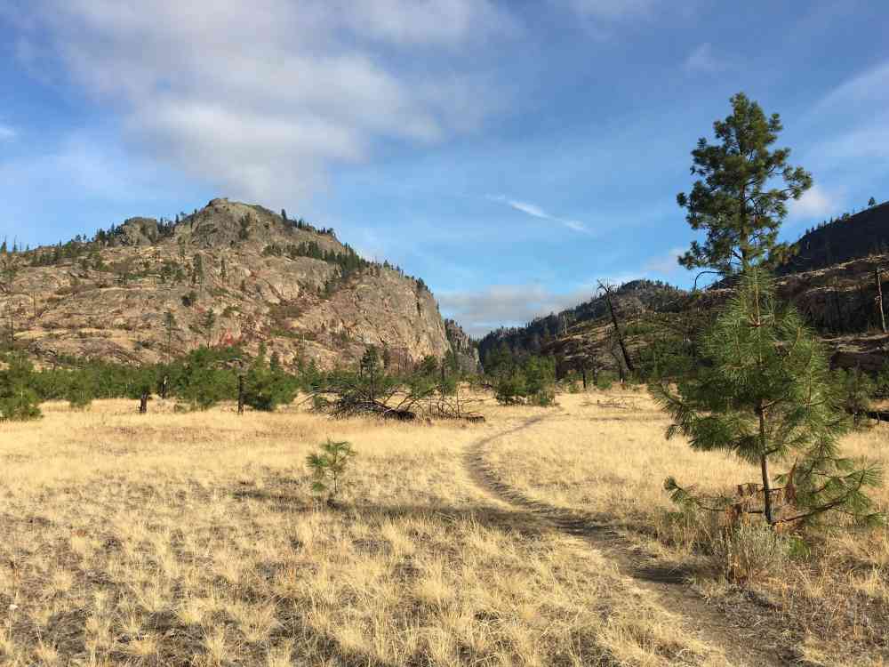
At approximately 8.7 km, the trail enters Wild Horse Canyon, which is essentially flat, with swamps at the 8.8 km, 9.2 km and 11.3 km.
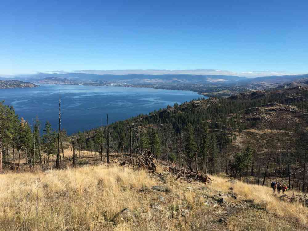
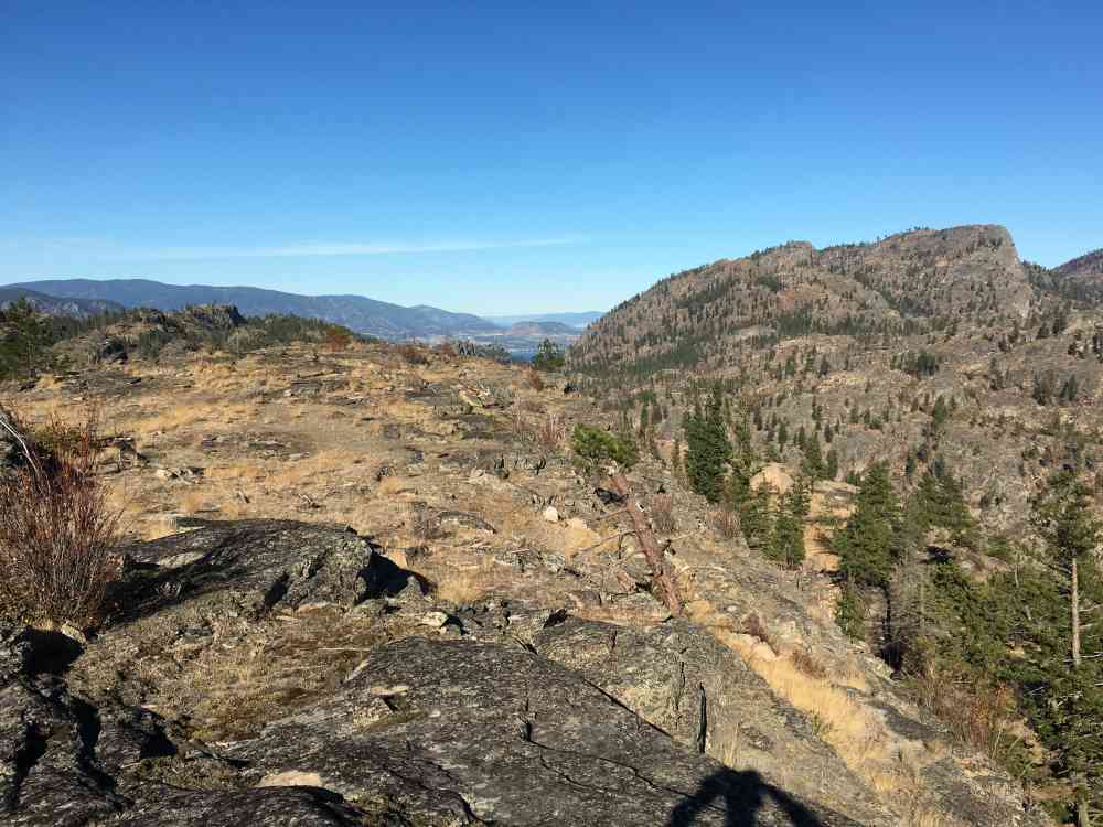
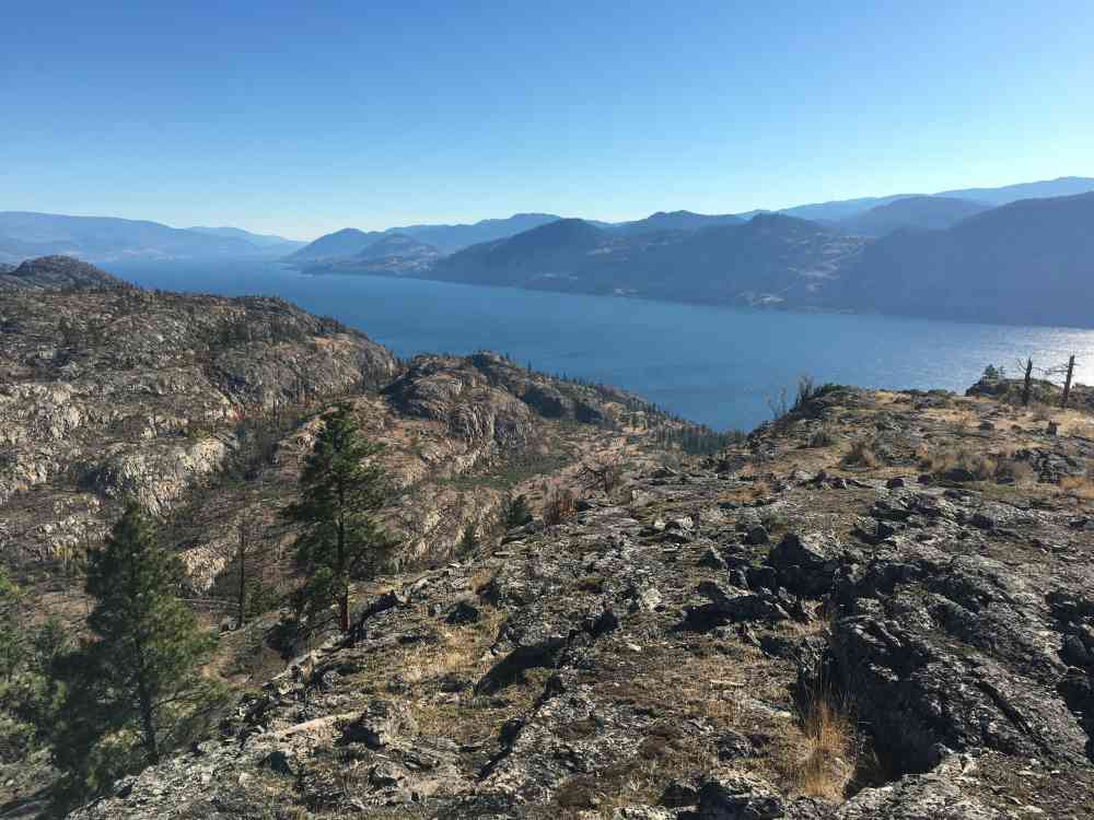
OPTIONALLY, at roughly 11.6 km, turn RIGHT up the Viewpoint Trail. Ignore the sign - it is 2.2 to 2.3 km each way not 1 km. Prepare for steep elevation gain: roughly 300 meters. Watch for signs of trail usage and orange metal triangles on trees, as this trail can be hard to follow. Nearing the top where small views of the lake become visible, keep RIGHT and walk out to the edge of the cliff, then backtrack about 100 meters, and go up the LEFT hill for the proper view which stretches from Kelowna to Penticton in a 360 degree fashion! This is approximately the 13.8 km mark.
Back at the bottom of the View Trail fork, your pedometer will read about 15.7 km. Continue due south towards Commando Bay. At 17.8 km, reach an important intersection with trail map and continue straight through for roughly 350 meters (not 200 meters as the map said) to the Commando Bay fork on the left. Follow it all the way down to the campsite. By the end, your pedometer will read 20 km.
When returning, take "Exit Fork via Horse Creek" to descend into the gully for a quick and easy exit out to Lakeshore Drive about 1.6 km from the car.
Address
Driving Time
From Downtown Kelowna, approximate travel time by car is 30 min.
Notable GPS Co-ordinates
Detailed Directions
2. Follow Pandosy as it turns into Lakeshore Dr.
3. Stay on Lakeshore Dr. by turning RIGHT as you approach Kettle Valley.
4. After 8km, park at the Okanagan Mountain Park dirt parking lot on the right side of the road.
Google Directions
Duration Calculator
The metrics for this trail have been converted to round-trip formation for distance and elevation gain/descent if necessary.
Estimated Time:
-- hours
We have a downloadable GPS map for this trail!
Last Updated on Sunday, January 26, 2025
Need help using it? See our FAQ.Map Waypoints
GPS Notes

Leave a comment
You must Login to post a comment!