Okanagan Mountain Park: DC3 Plane Crash Bushwhack
Okanagan Mountain Park: DC3 Plane Crash Bushwhack
Kettle Valley
25 min from Downtown Kelowna
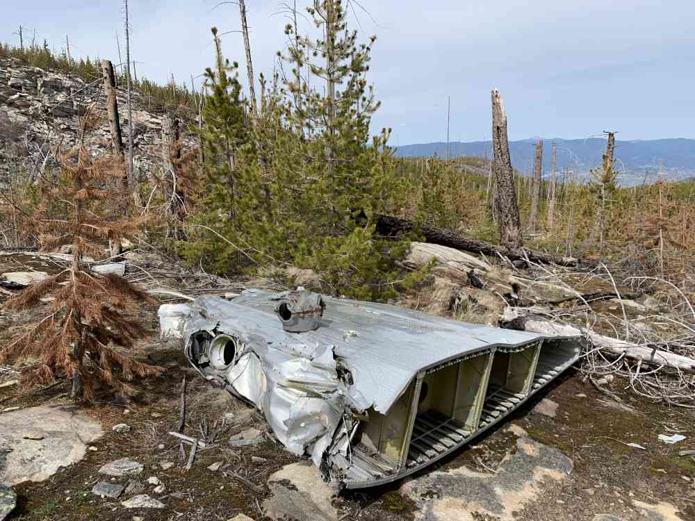
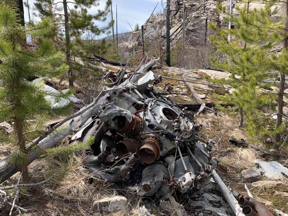
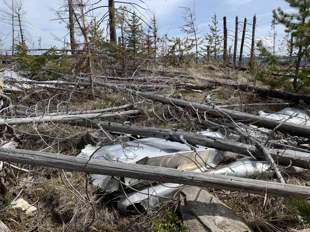
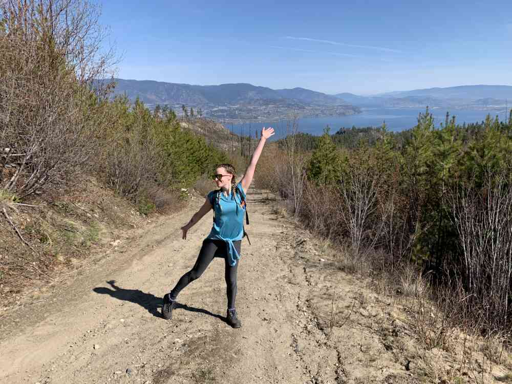
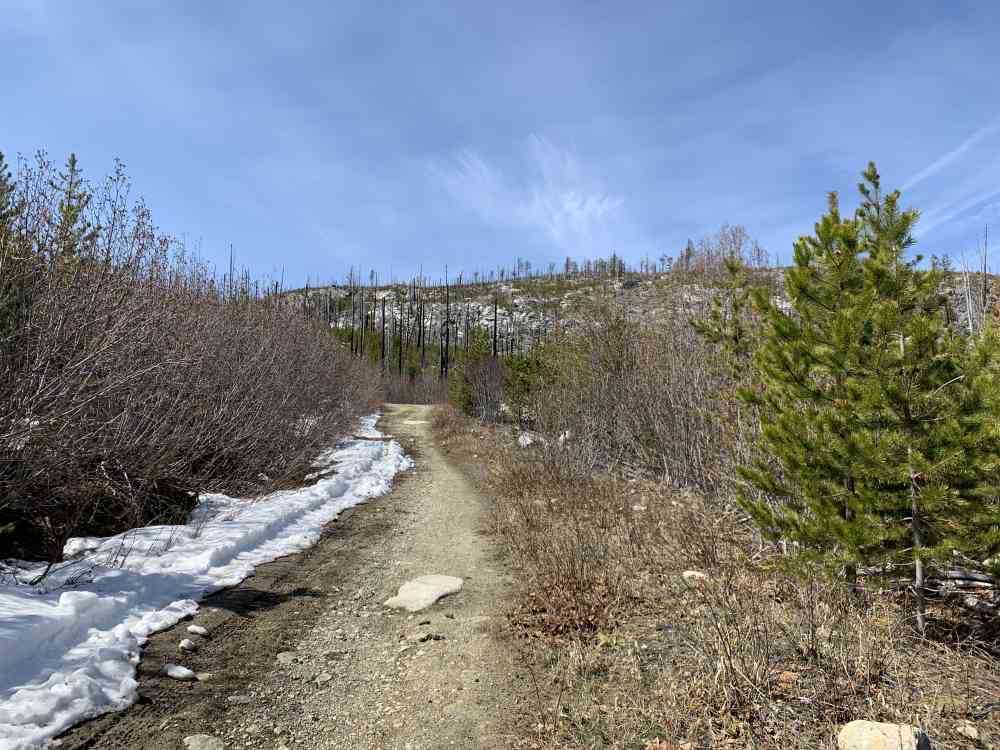
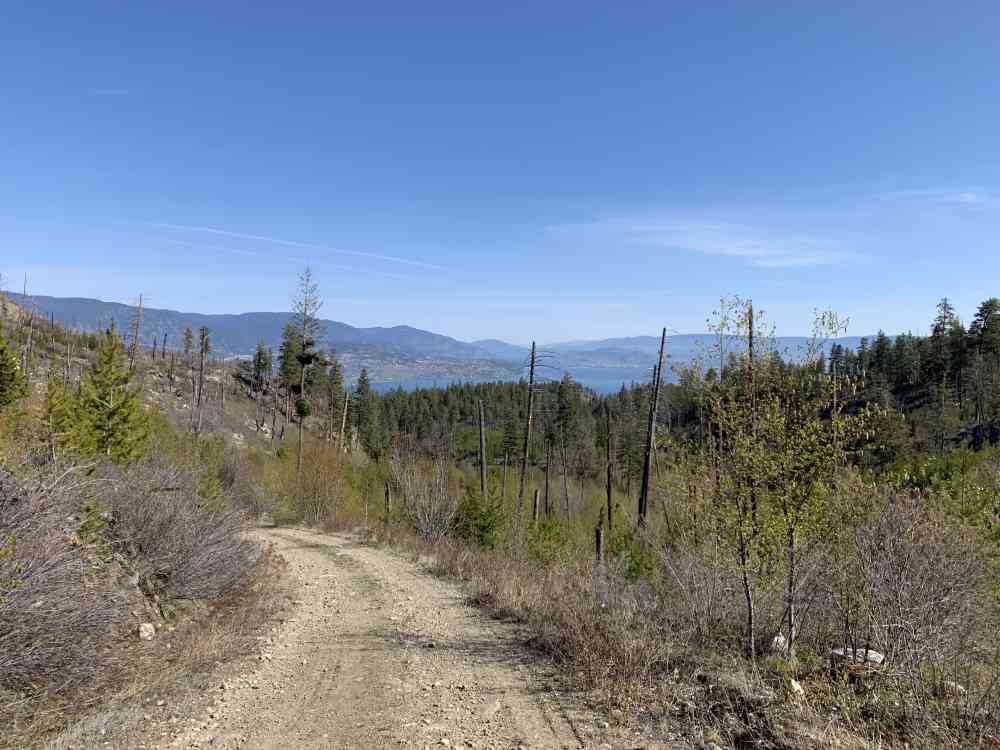
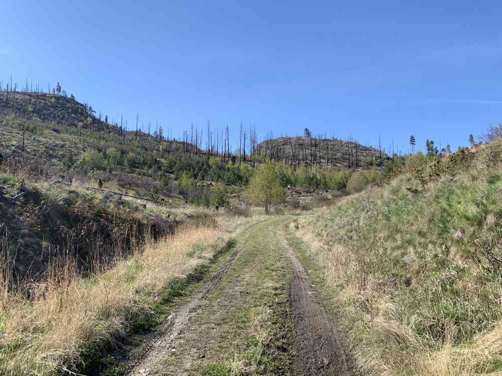
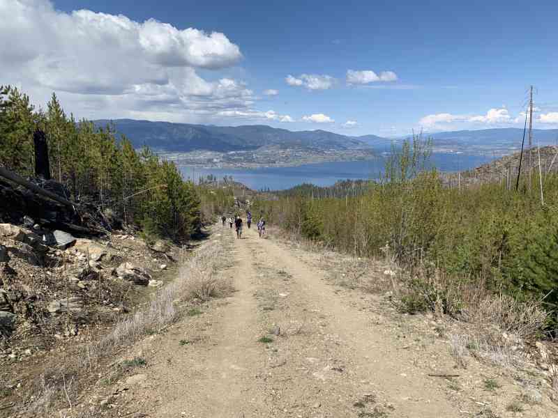
166 Timberline Rd, Kelowna, BC V1W 4J6This is a trek approximately 2 hours (just beyond 7 km) up the service road and a one-kilometre one-hour bushwhack directly east into the forest. While the service road is double wide and meant for vehicles, it's quite a steep grade and acts as a great test of endurance.
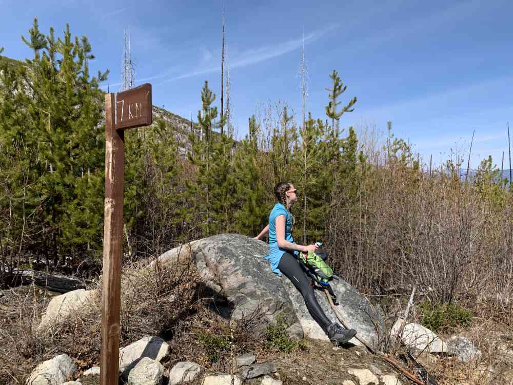
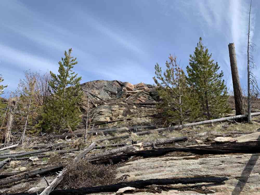
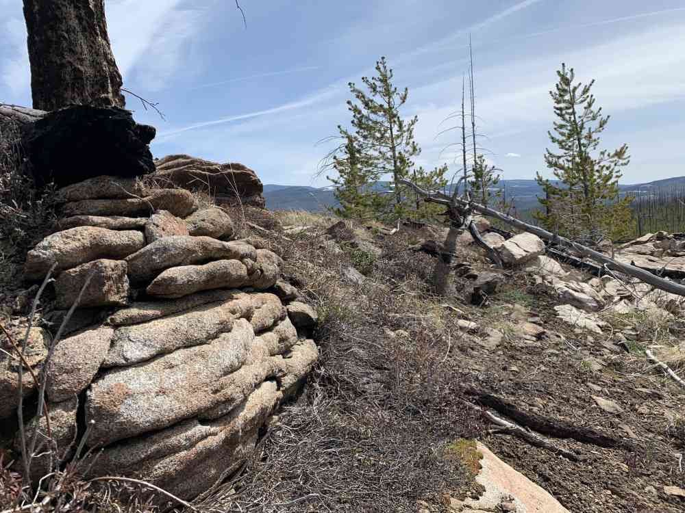
After the 7 km marker, notice a small cairn and a sharp turn in the road that goes right and then left again. This is the spot where most people have chosen to begin their bushwhack. Be smart. Don't. It's a nightmare and incredibly dense at this point. Continue another 490 meters from the cairn and take a left (east) directly into the forest for approximately 940 meters (maybe less if you manage to find a slightly straighter route).
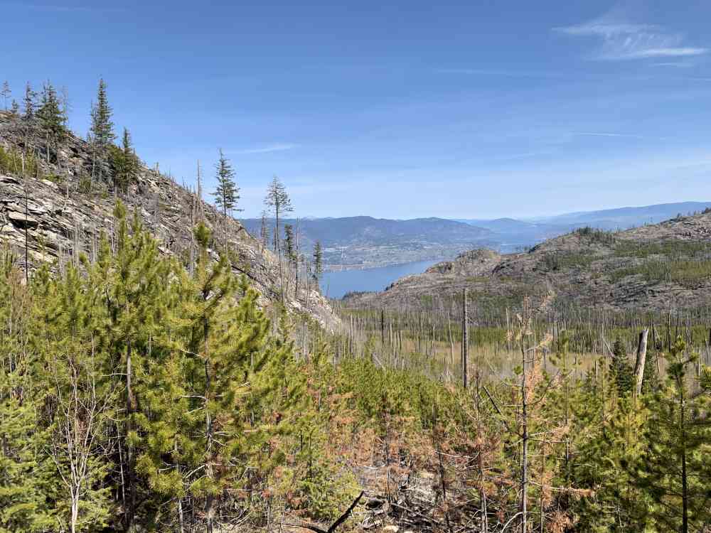
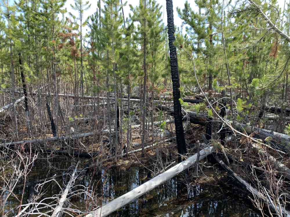
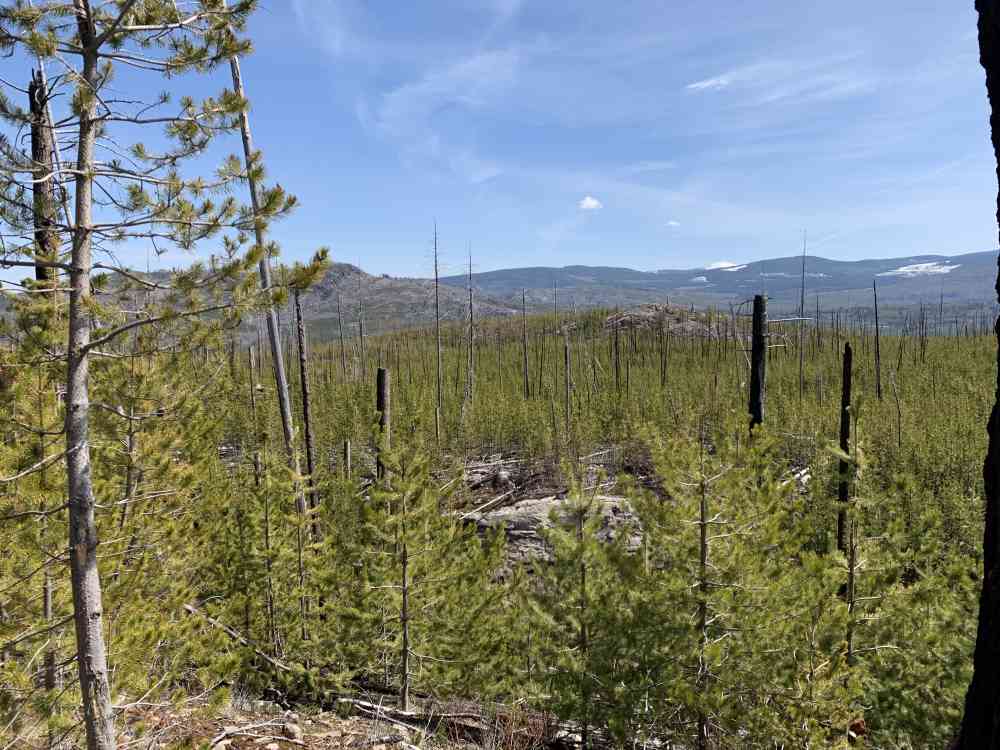
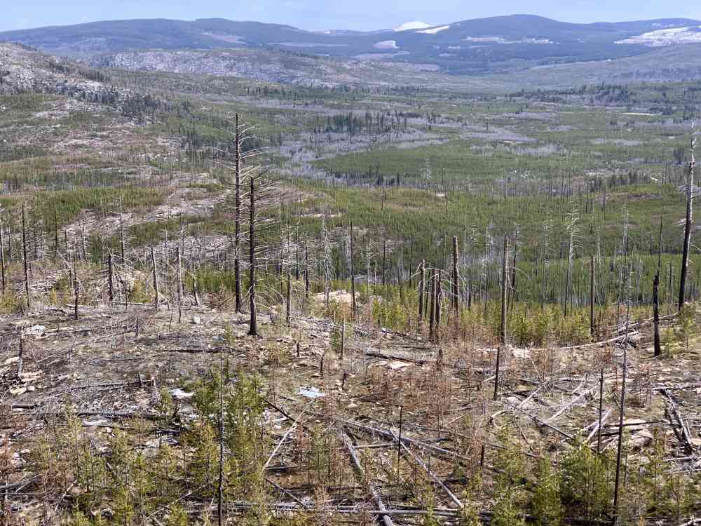
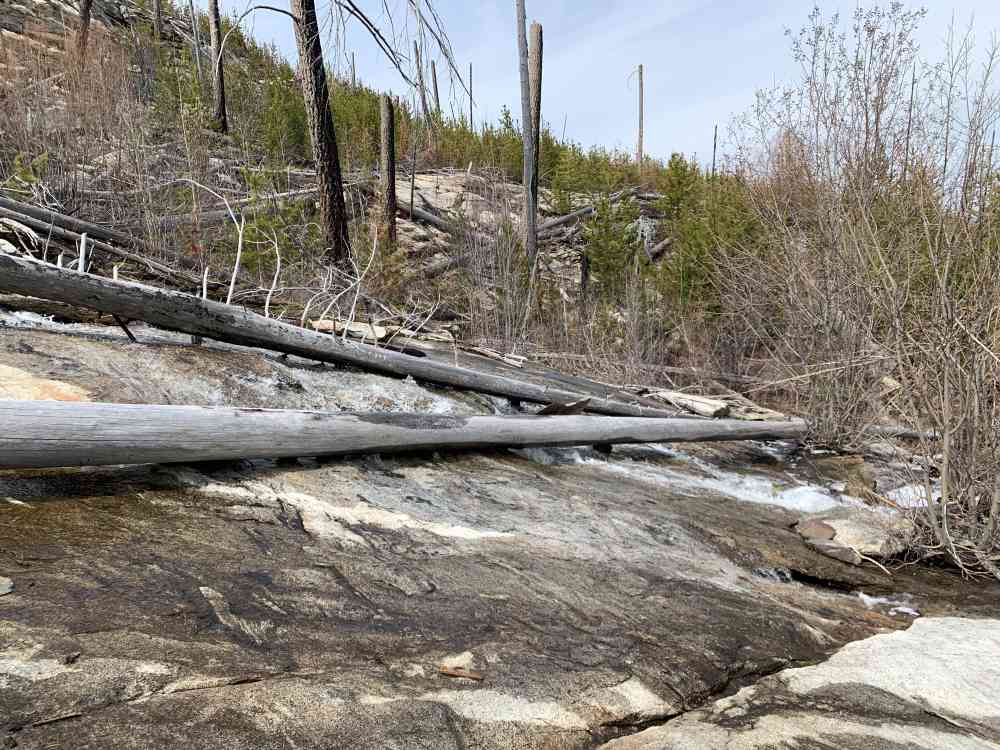
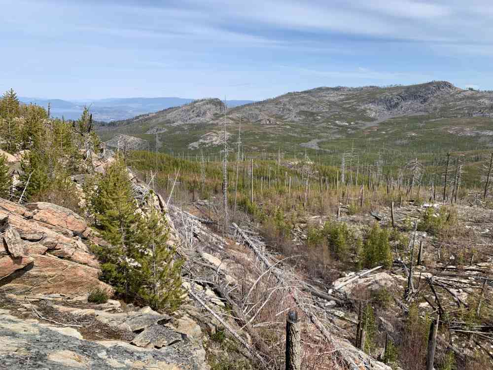
Prepare for virtually no signs of trail use on this create-your-own-adventure route. We noticed notches cut into fallen logs and signs of previous trail blazing (clearly sawed off branches) that helped us find our way. Hikers will have to push their way through dense young forest and will wind up lathered in ticks. A high level of agility is required to hop over all the dead-fall and maneuver around the various ponds and valleys.
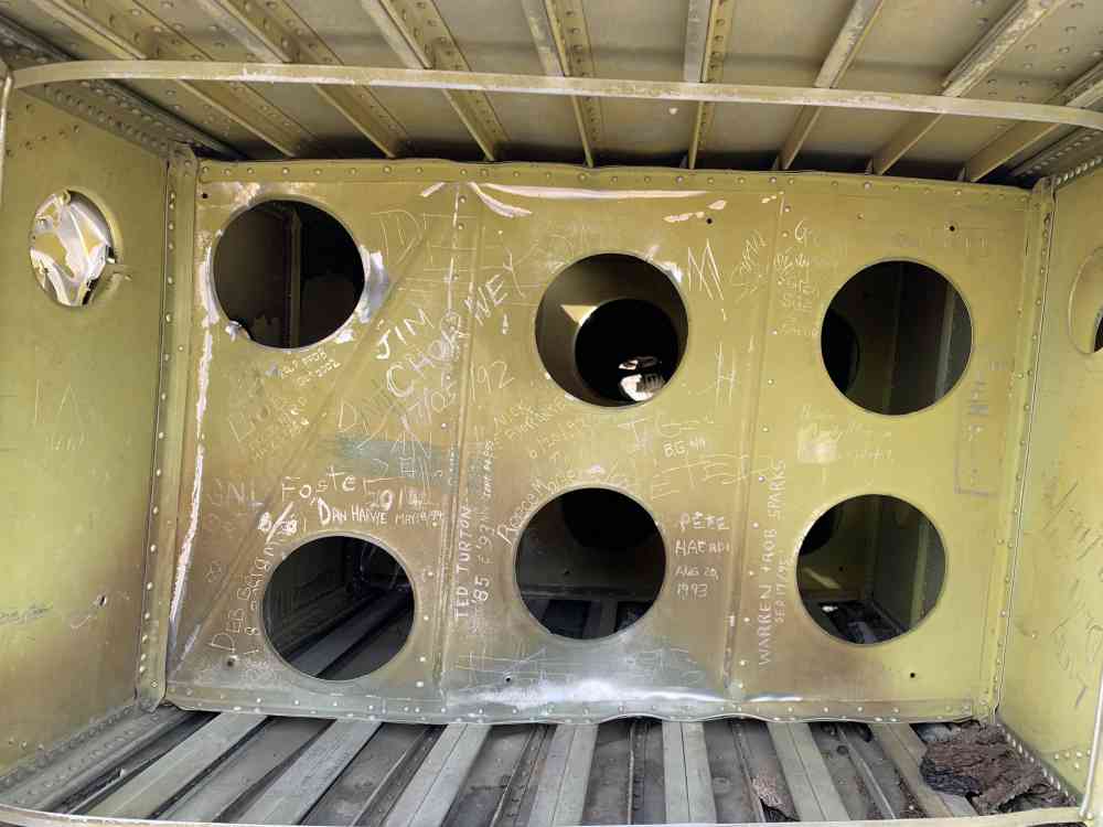
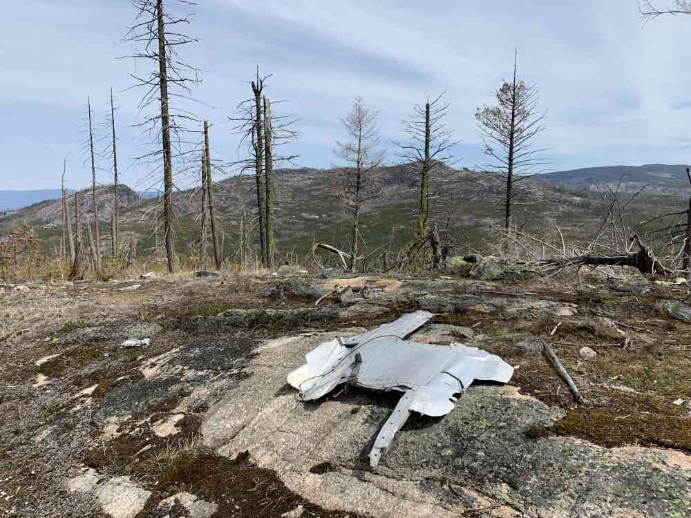
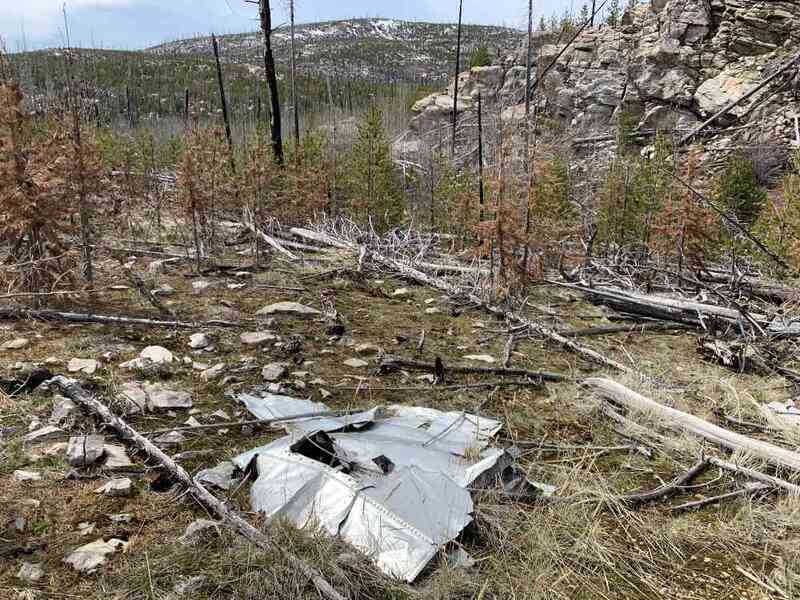
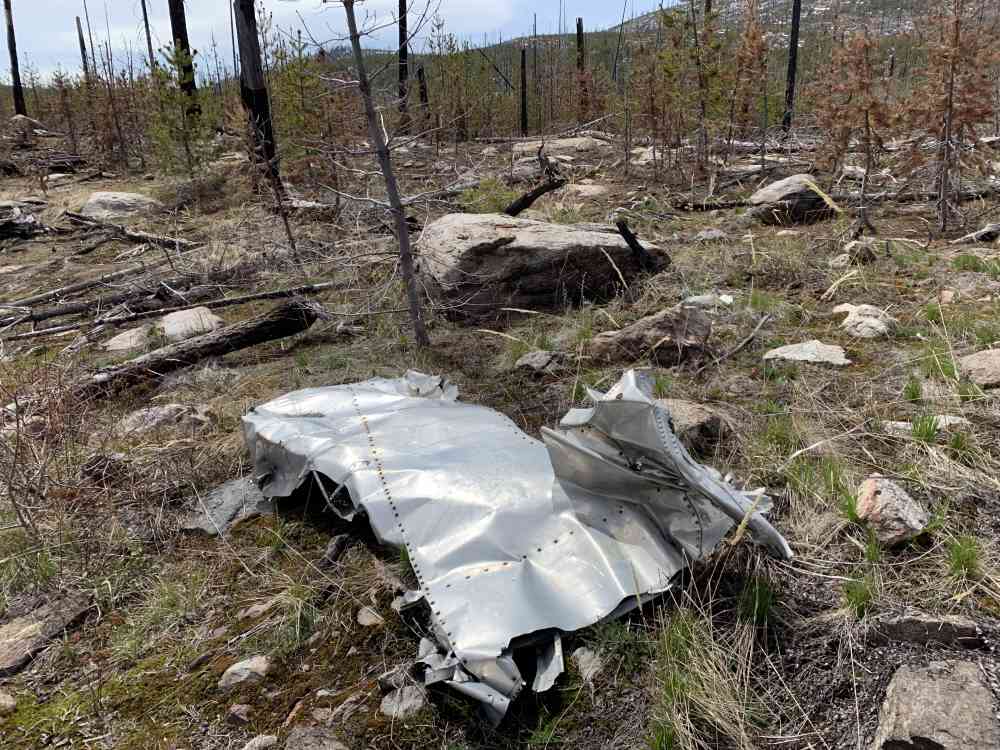
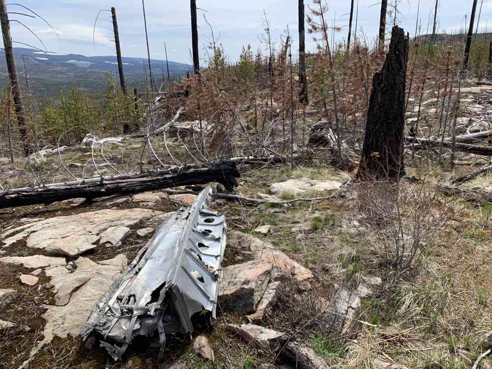
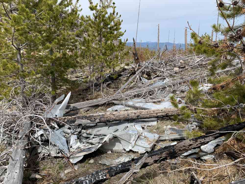
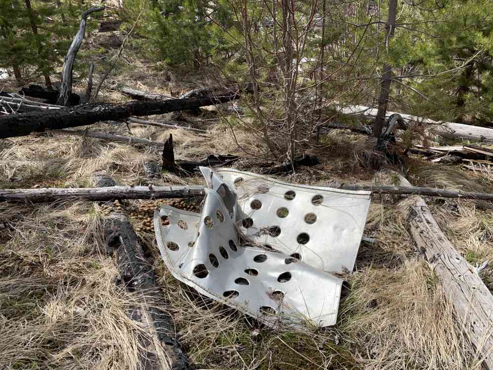
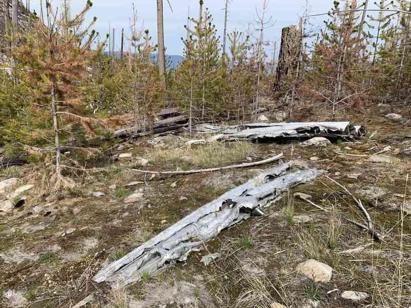
Bringing our GPS map for this trek is essential as hikers will very likely not find the wreckage without it and could wind up lost in the immense forest. It is very important not to disturb the site at all. Don't touch, deface, or remove any items from the area. We've been told it's protected by the BC Heritage Conservation Act.
Address
Driving Time
From Downtown Kelowna, approximate travel time by car is 25 min.
Notable GPS Co-ordinates
Detailed Directions
2) Pass Sunshine Market, and go up the hill. At the traffic lights, turn RIGHT to stay on Lakeshore Dr INSTEAD OF heading into Kettle Valley on Chute Lake Rd.
3) Turn LEFT onto Rim Rock Rd just past Bertram Creek Park.
4) Turn LEFT to stay onto Rim Rock Rd.
5) Turn RIGHT onto Timerline Rd and follow it just past Carmeli's Goat Cheese shop around 166 Timerline Rd.
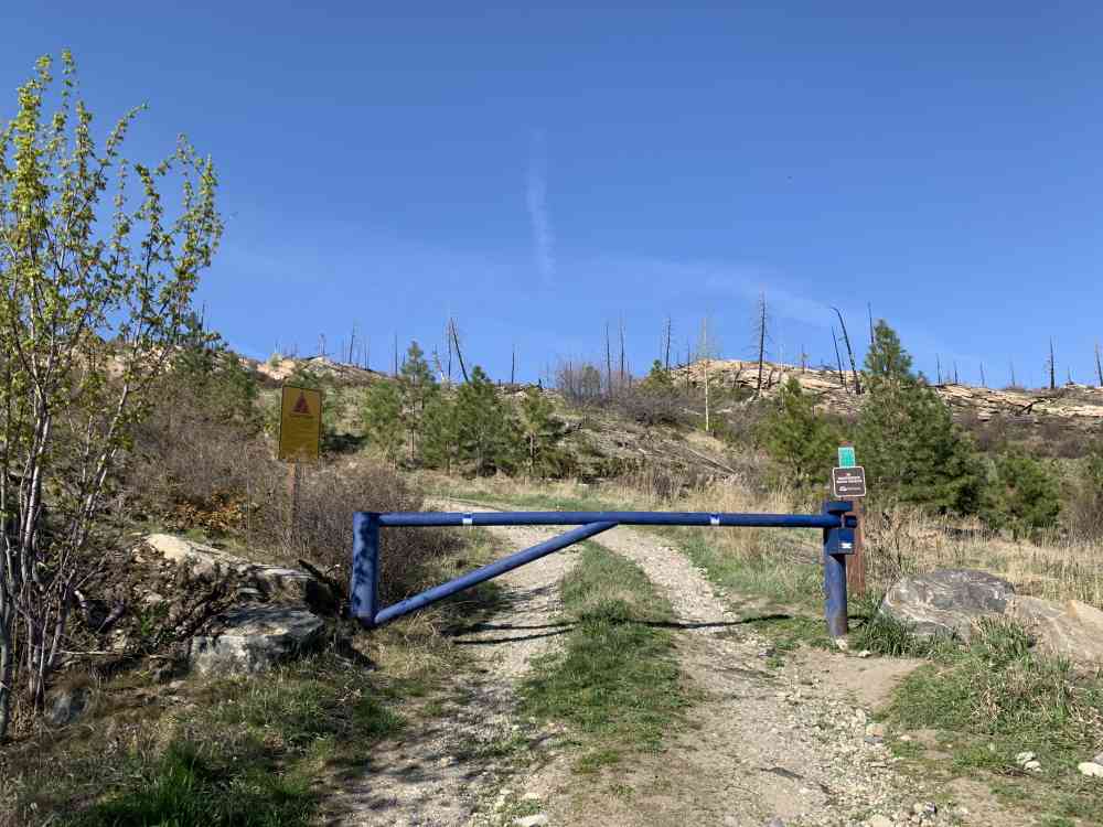
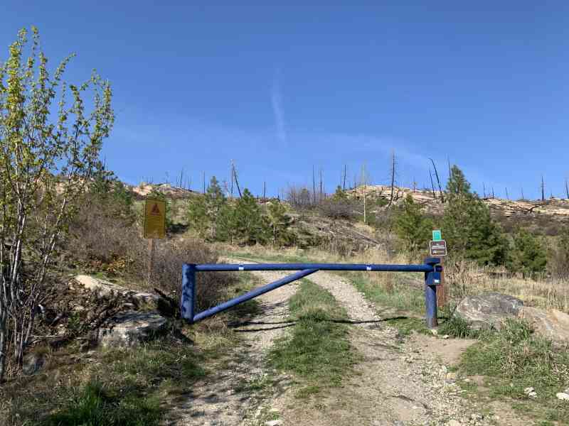
6) Park at the blue metal gate with the double-wide trail leading into the forest and begin the hike.
Google Directions
Linear Trail
Duration Calculator
The metrics for this trail have been converted to round-trip formation for distance and elevation gain/descent if necessary.
Estimated Time:
-- hours
We have a downloadable GPS map for this trail!
Last Updated on Sunday, January 26, 2025
Need help using it? See our FAQ.Map Waypoints
GPS Notes

Leave a comment
You must Login to post a comment!