Okanagan Mountain Park: Interior Perimeter
Okanagan Mountain Park: Interior Perimeter
Kettle Valley
30 min from Downtown Kelowna
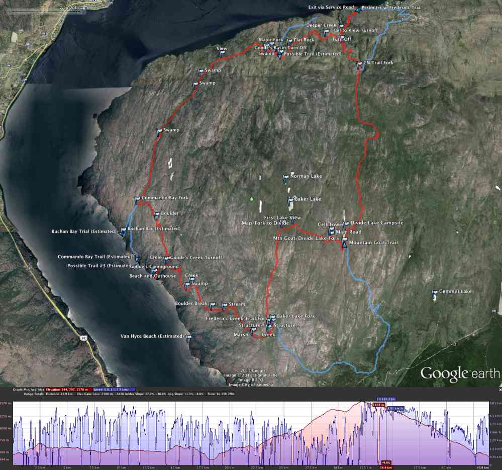
5937-5941 Lakeshore Rd, Kelowna, BC V0H, CanadaSimilar to the "Okanagan Mountain Park Exterior" trail listed. See that trail for more information. The difference being this one includes a challenging ascent to Baker Lake with views of Norman Lake.
Address
Driving Time
From Downtown Kelowna, approximate travel time by car is 30 min.
Notable GPS Co-ordinates
Detailed Directions
2. Follow Pandosy as it turns into Lakeshore Dr.
3. Stay on Lakeshore Dr. by turning RIGHT as you approach Kettle Valley.
4. After 8 km, park at the Okanagan Mountain Park dirt parking lot on the right side of the road.
Google Directions
Duration Calculator
The metrics for this trail have been converted to round-trip formation for distance and elevation gain/descent if necessary.
Estimated Time:
-- hours
We have a downloadable GPS map for this trail!
Last Updated on Sunday, January 26, 2025
Need help using it? See our FAQ.GPS Notes

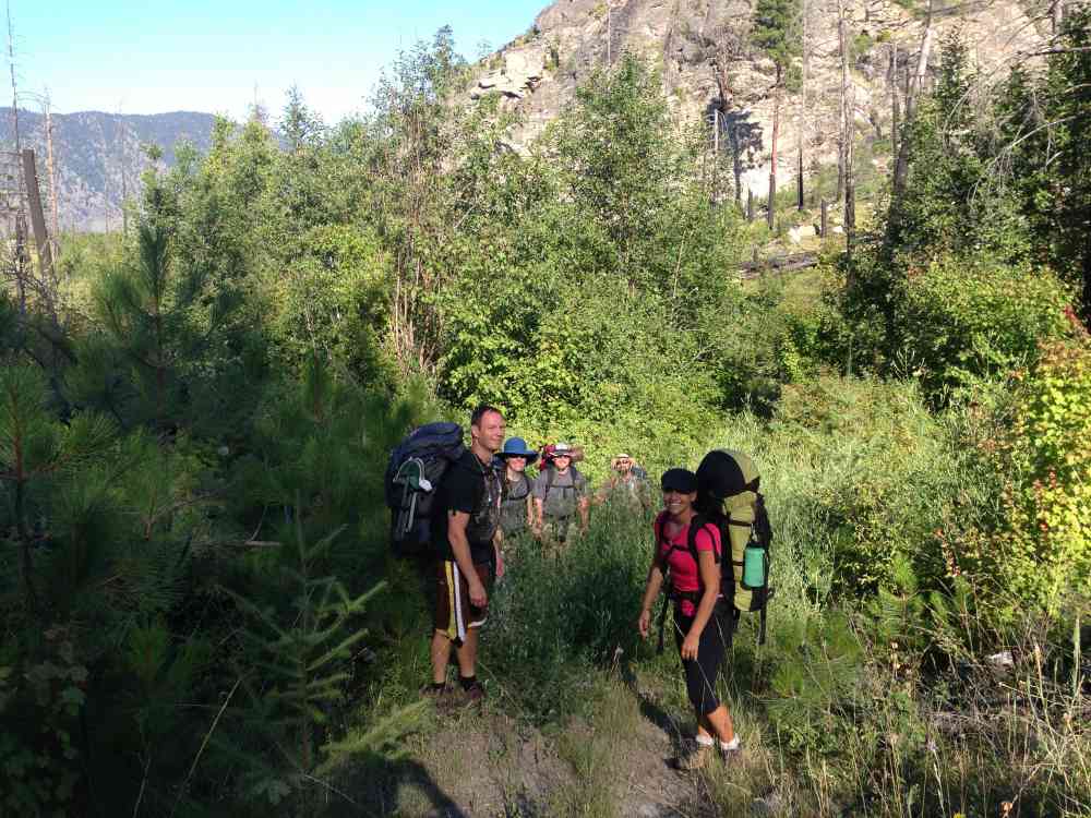
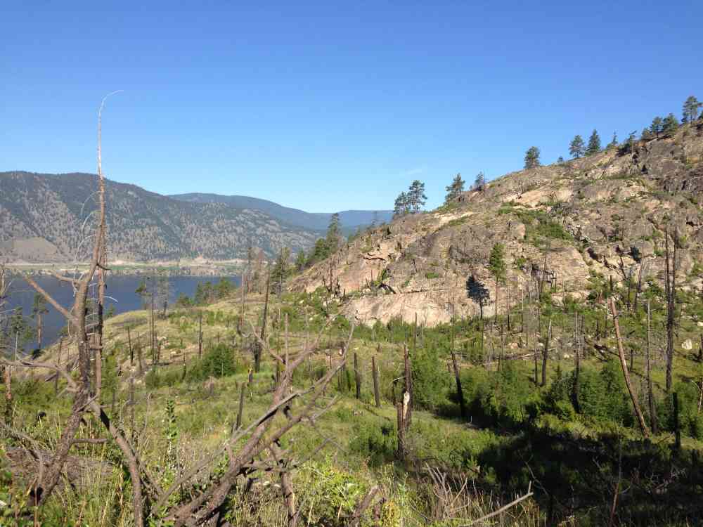
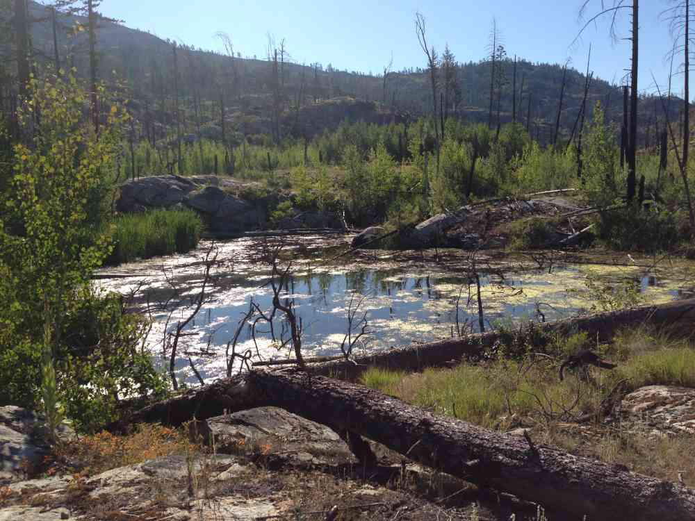
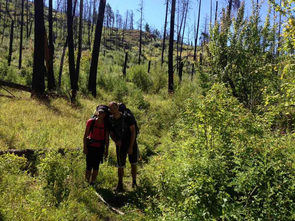
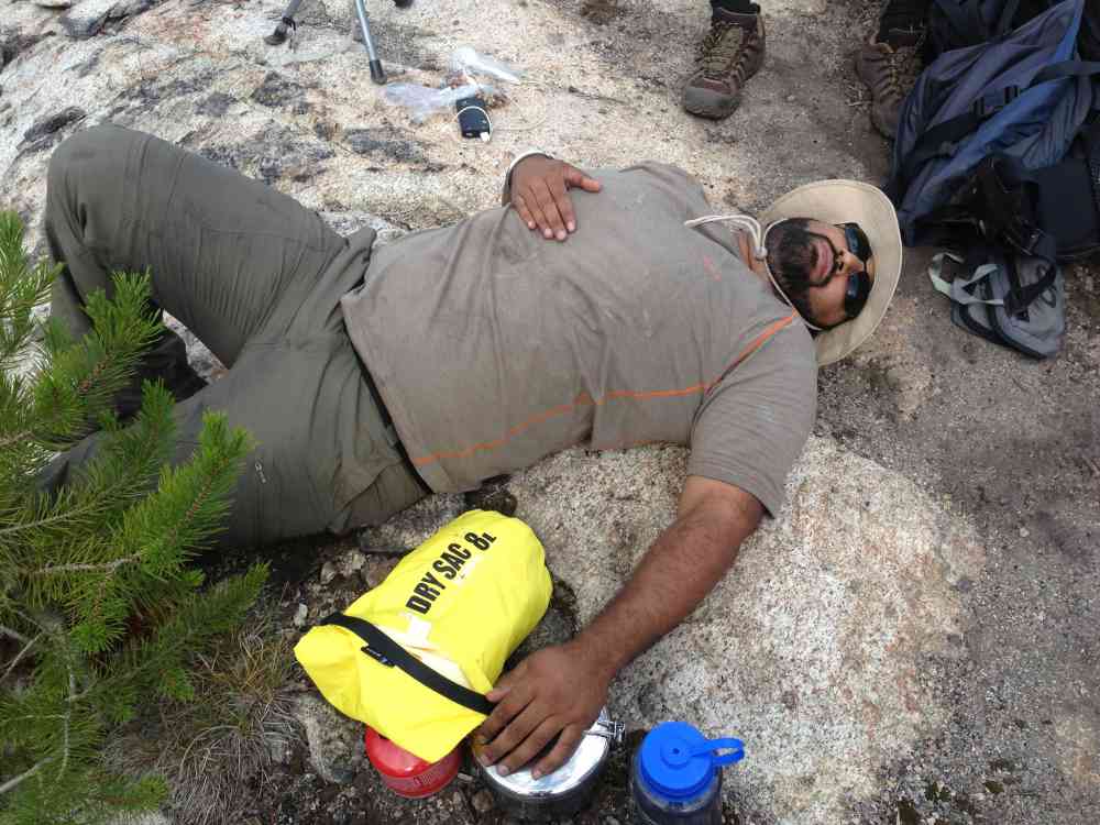
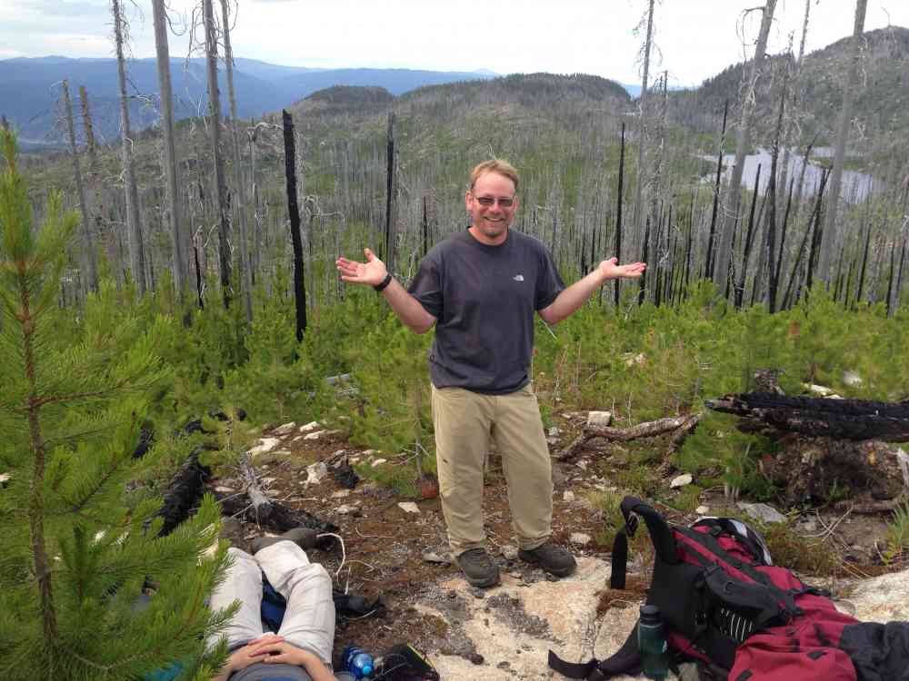
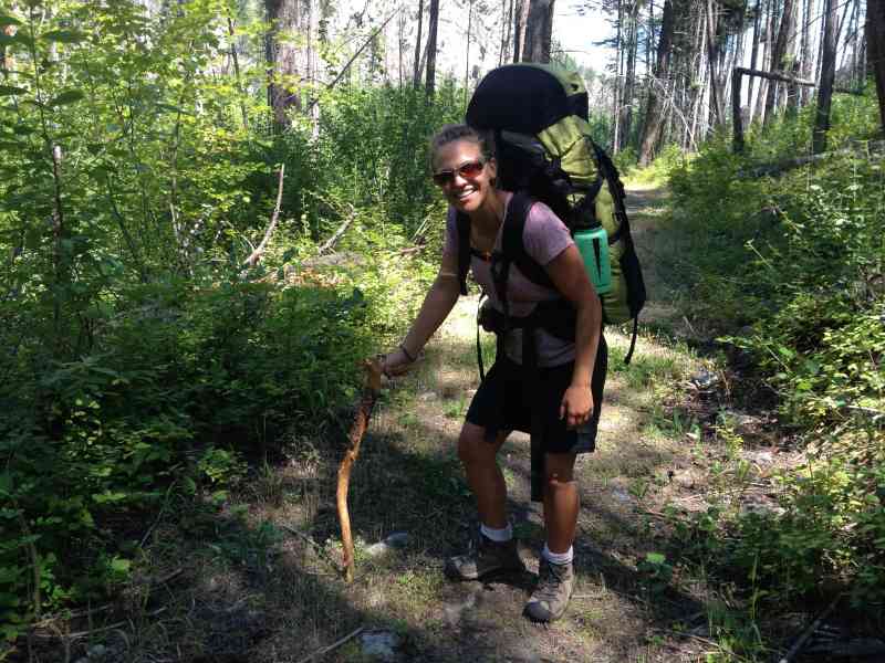
Holy smokes what a crazy hike!
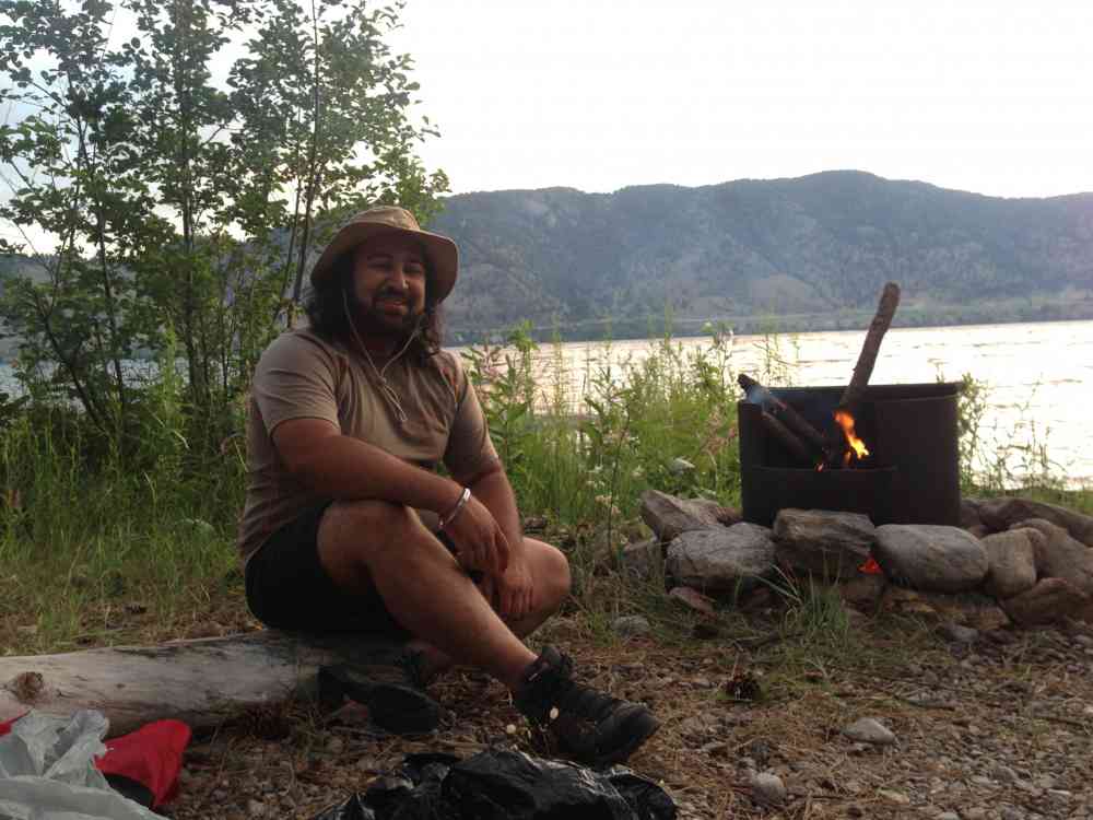
Monday, May 18, 2015 at 5:24 PMWe made the rookie move and hiked to divide lake taking the long route, roughly 32 km from the parking lot off Lakeshore rd in one day. Big Mistake. Defiantly spit this up into a two night trip.
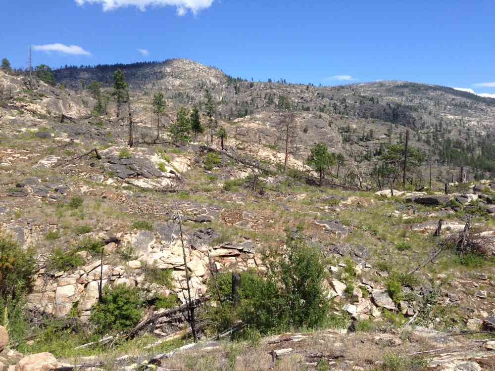
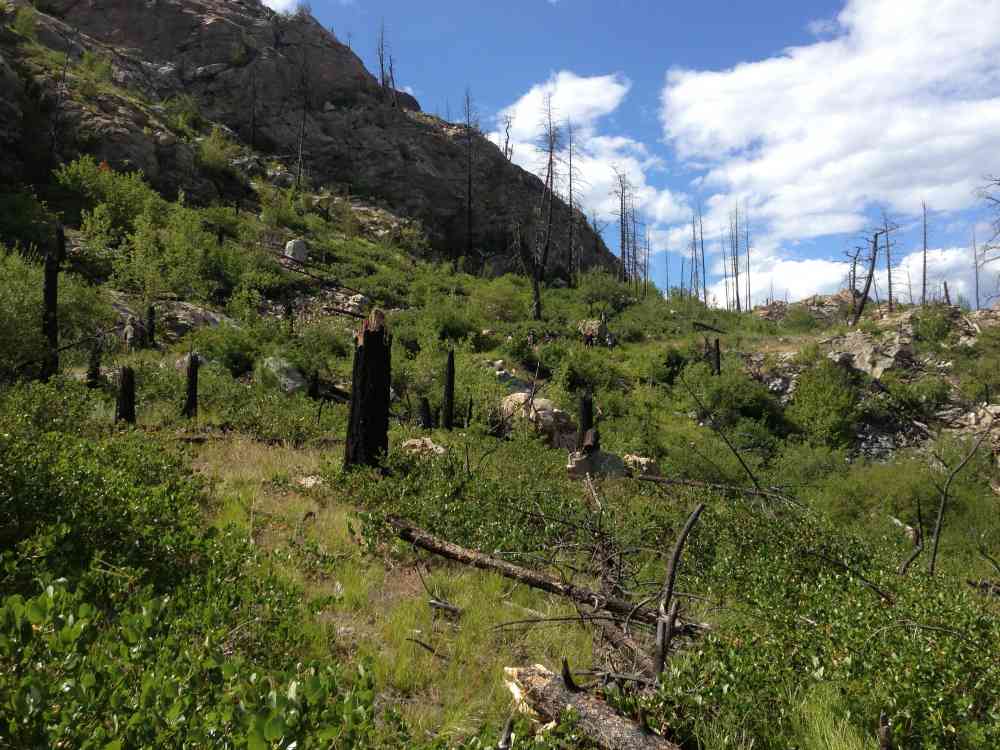
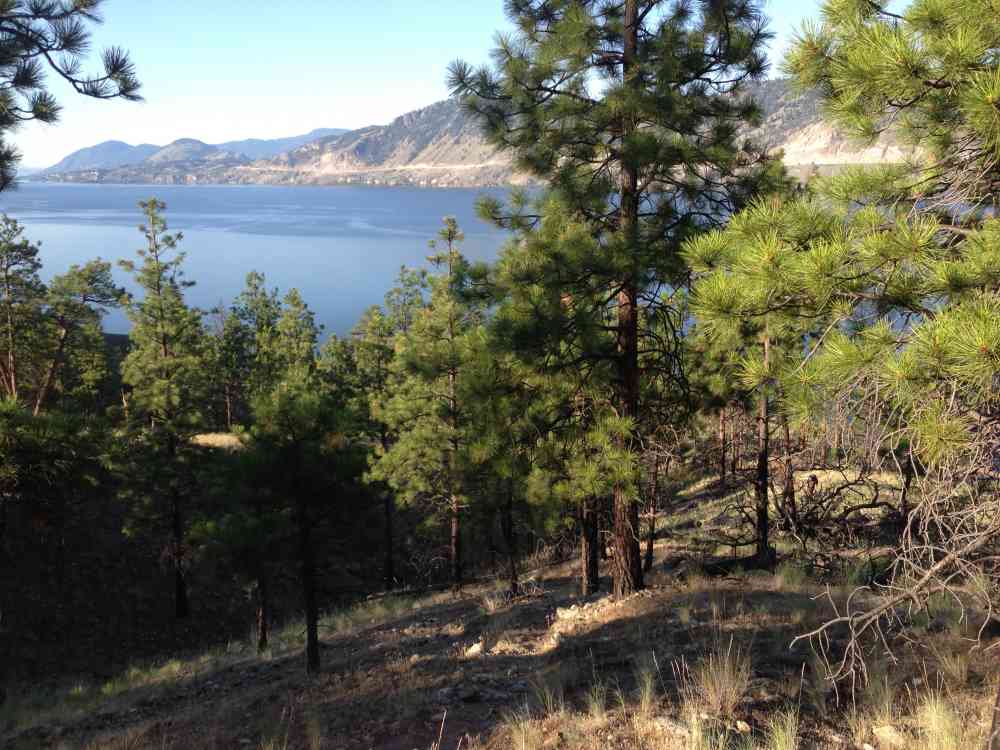
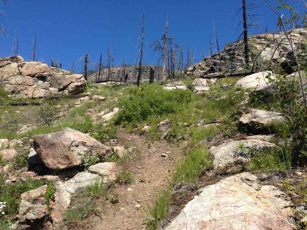
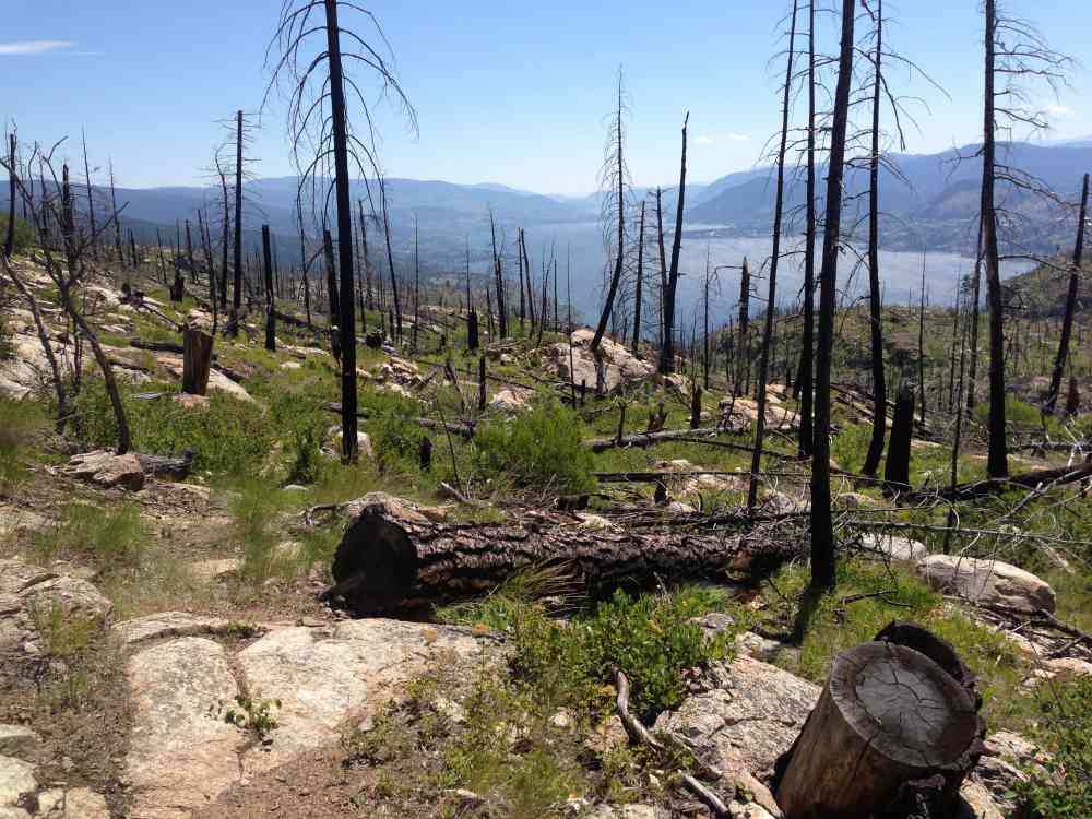
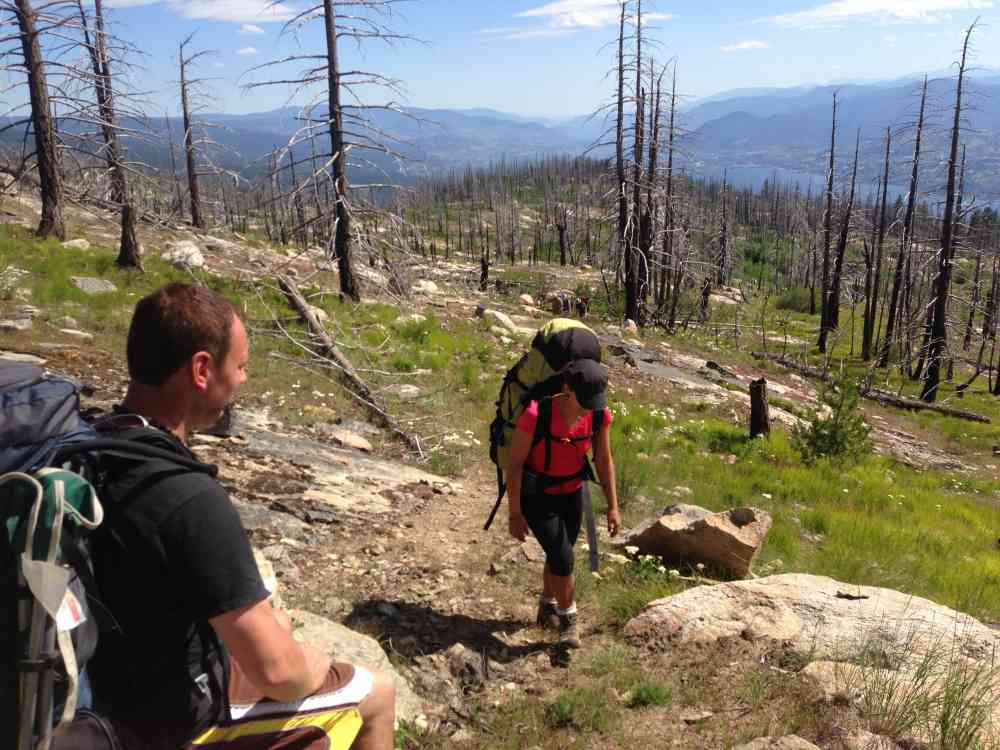
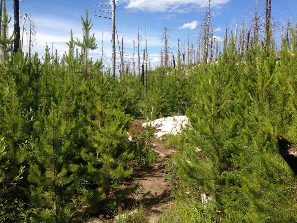
The trail offered man nice views of the whole lake and was I was really surprised at the diversity in the trail. My initial thoughts were that it was going to black, burnt and rocky the whole way but it was the complete opposite. Most of the trail was a nice hiker trail, however some sections were for horses and quads as well and lots of lose rock.
Day one was a a hot 27'c and creeks were very spacious along the hike, so never skip the opportunity to fill up. Water pump is a must. There is also some serious elevation gain going this way so aqua is needed.
Overall a very rewarding and challenging hike, but don't take new boots to break-in on this hike or have this hike be a preseason warm up as I did.
**Also, know your Rattle Snake safety. We encounter 4 throughout the trip, with one in the middle of the trail.
just a heads up from a Search & Rescue member. Summer hikes - common challenge here is the heat, and folks underestimating the water they'll need. The creeks flow well through June into July, but some of them dry up to a trickle at times in late July/August. Spring time challenge, is folks presume in April/May the snow is gone. Its not, making a round trip over the top very challenging. Goodes Creek Basin stays very lush, thick, & wet difficult to find the trail at times through there. Wild Horse Canyon can also be very wet at times in late May through June rains. Go prepared, and enjoy the adventure!
Monday, March 27, 2017 at 10:23 AMLeave a comment
You must Login to post a comment!