
Rose Valley: City on the Edge of Forever
Rose Valley: City on the Edge of Forever
West Kelowna
13 min from Downtown Kelowna
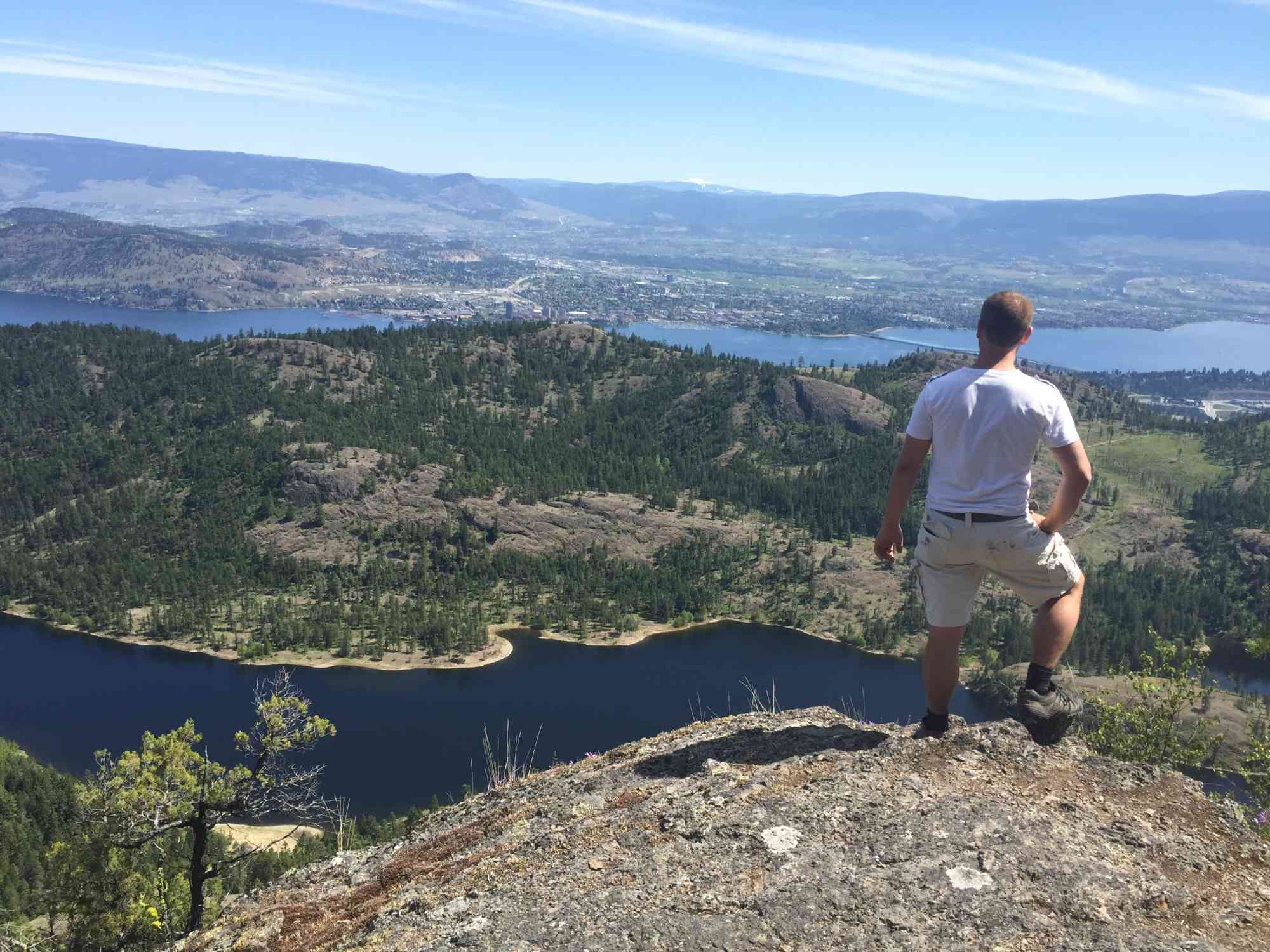
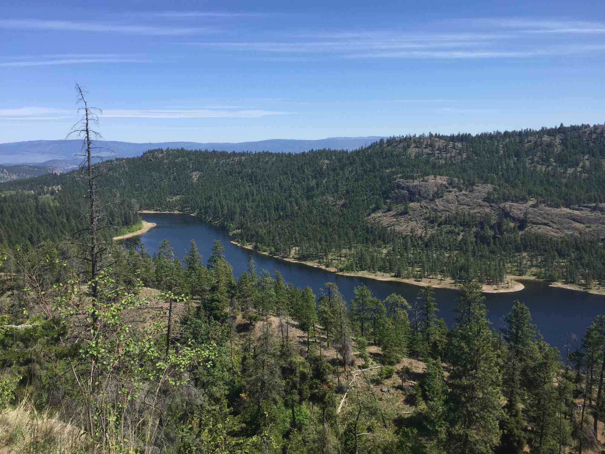
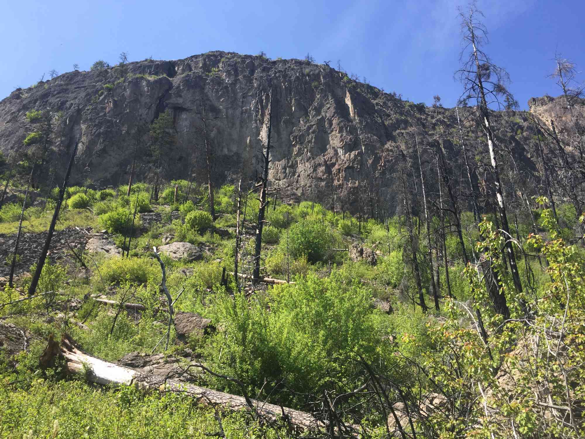
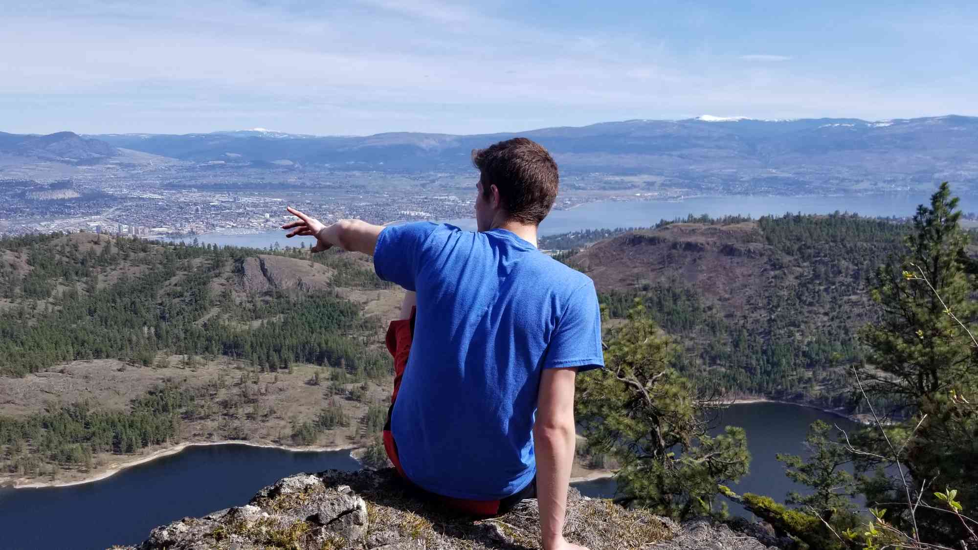
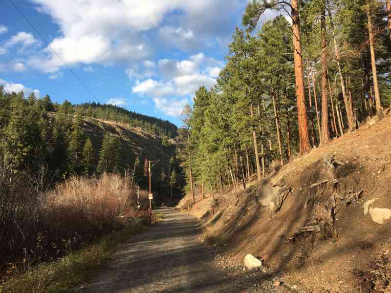
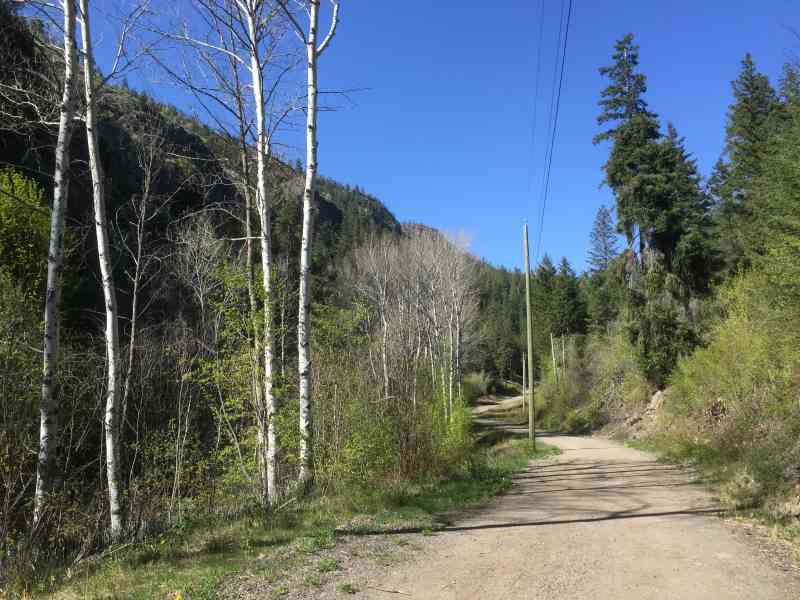
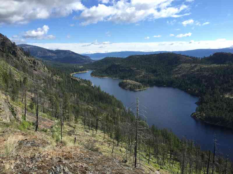
1488 Rosewood Drive, West Kelowna, BCNestled on the west side of the Rose Valley Reservoir, this trail begins as a nice flat service road until it meets up with the lake. Meander up the goat trail to the left, and follow it all way through the dense forest to Sweet Street and begin your gruelling trek upwards. Pass under the most incredible giant rock archway and dawn your sights upon a panoramic view of the valley. Continuing further, the struggle worsens, until finally reaching the viewpoint at City on the Edge of Forever. This is easily the best viewpoint in the entire network of the Rose Valley trails and should absolutely not be missed. This spot is ideal for a picnic, sunrise or sunset.
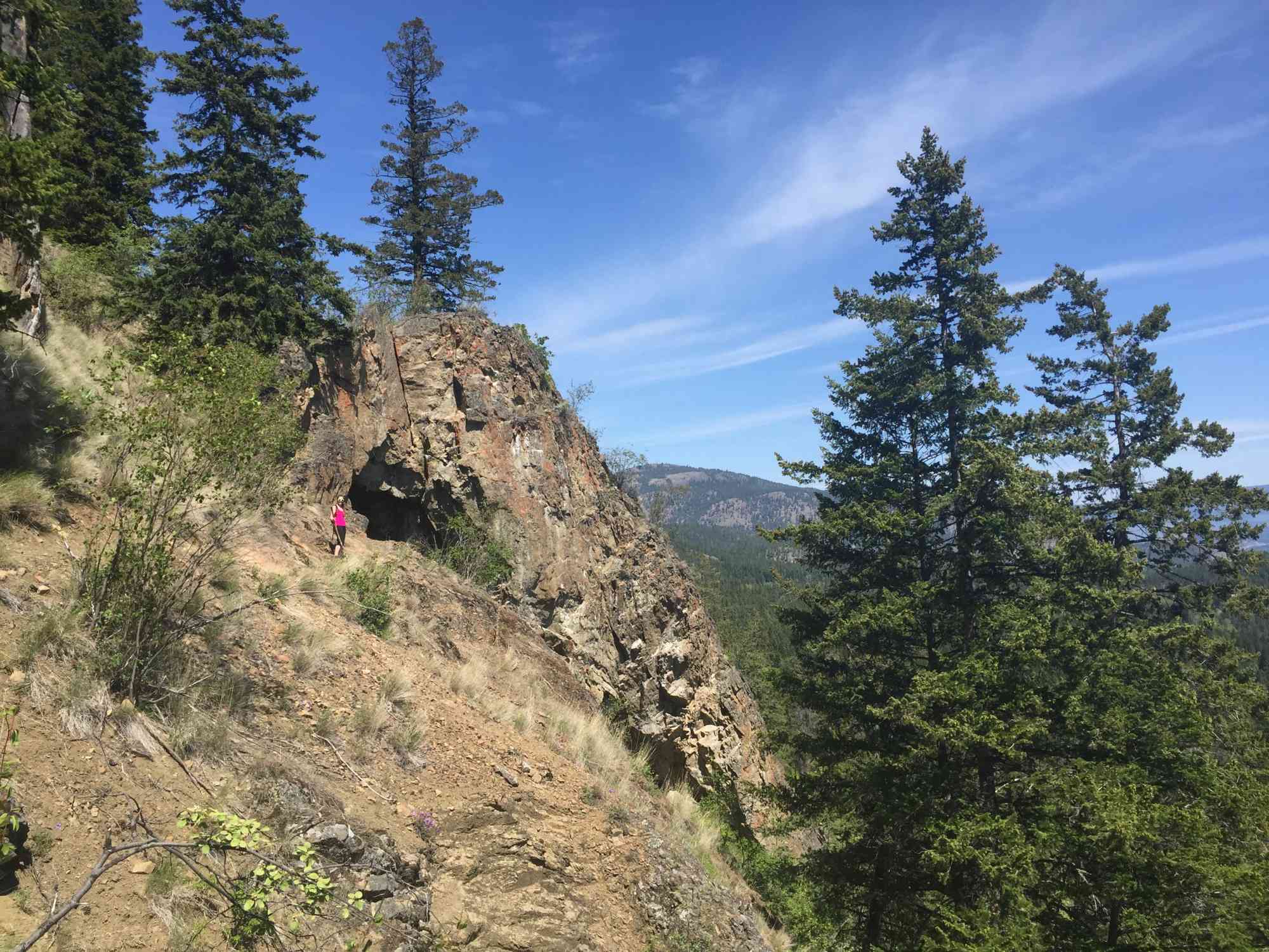
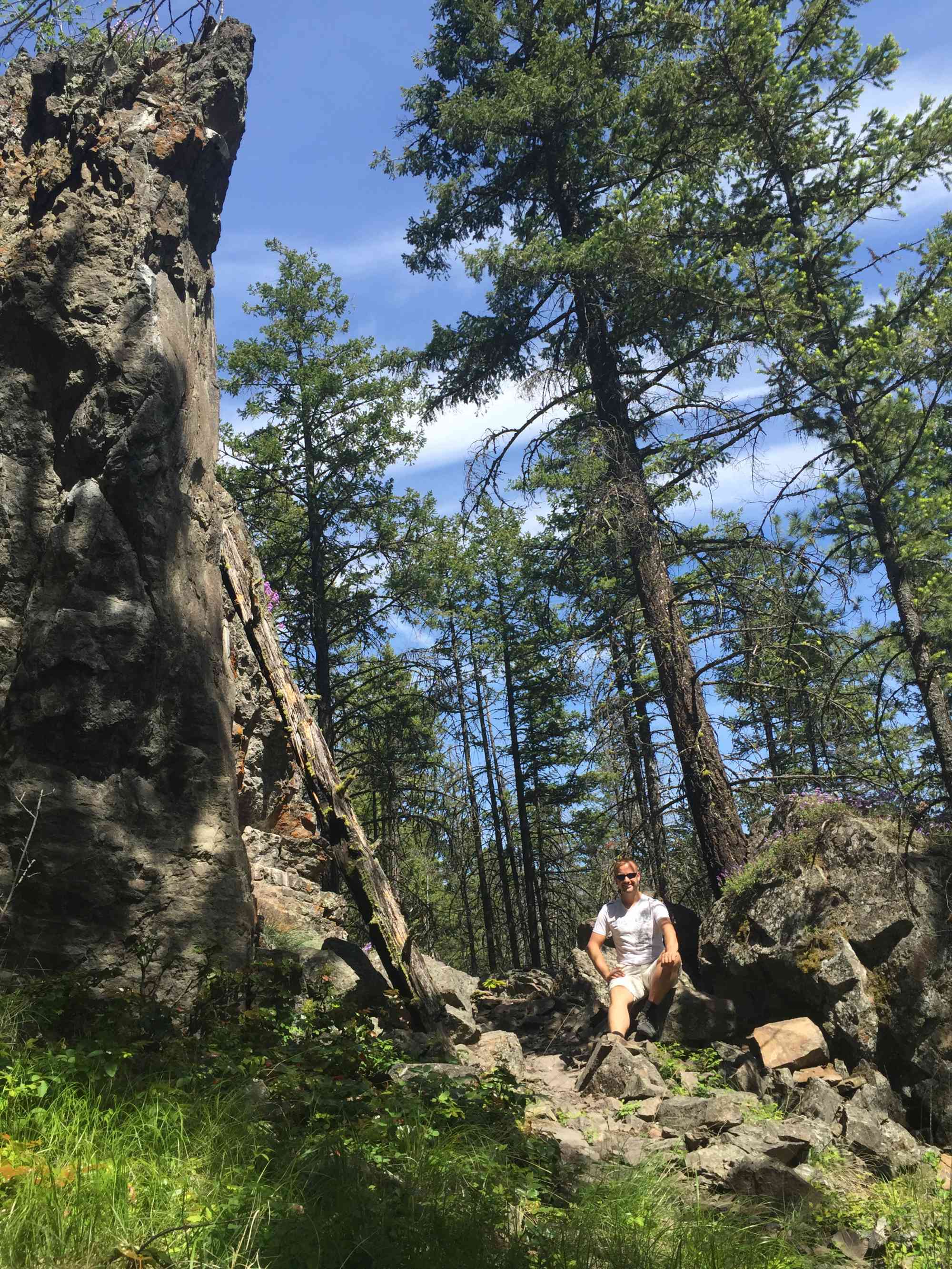
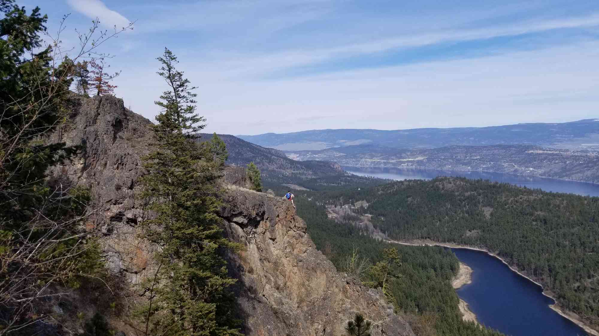
Begin the descent down by keeping right at all of the forks, passing directly next to the incredible cliffs that line McDougall Rim on your right. Over halfway down, take note of a magnificent boulder split in half over time as you walk through it. Keep right at the Rocky Candy fork to connect with the home stretch!
Begin the descent down by keeping right at all of the forks, passing directly next to the incredible cliffs that line McDougall Rim on your right. Over halfway down, take note of a magnificent boulder split in half over time as you walk through it. Keep right at the Rocky Candy fork to connect with the home stretch!
Route
Kids & Pets
Features
Address
Driving Time
From Downtown Kelowna, approximate travel time by car is 13 min.
Notable GPS Co-ordinates
Detailed Directions
2) Turn RIGHT onto Westlake Rd.
3) Turn LEFT onto Rosewood Dr and follow it to the end. Park at the cul-de-sac.
Google Directions
Duration Calculator
The metrics for this trail have been converted to round-trip formation for distance and elevation gain/descent if necessary.
Estimated Time:
-- hours
We have a downloadable GPS map for this trail!
Last Updated on Sunday, January 26, 2025
Need help using it? See our FAQ.Map Waypoints
GPS Notes
The directions here seemed incomplete.
Thursday, August 13, 2020 at 8:18 AMThis is a large network of trails, mostly for mountain biking. The suggested route uses sections of various trails. Trail Forks app is very helpful.
First section is the reservoir service road.
From there, start the Lake Loop trail. I only found the little goat trail mentioned in the description to get to that.
After a short distance, keep left to start "Sweet Street." The trail goes up slightly, then goes back down towards the reservoir before meeting up with "City on the Edge of Forever."
I suggest taking a left off of "Sweet Street" to climb up on "No Left Turn Unstoned." This will be an easier grade, and leads to the same lookout.
After enjoying the breathtaking views from the lookout, I took "Jabba Rocky" all the way back down to the service road.
A great hike!
Leave a comment
You must Login to post a comment!