

Stephens Coyote Ridge: Viewpoint Trail
Stephens Coyote Ridge: Viewpoint Trail
Glenmore
17 min from Downtown Kelowna
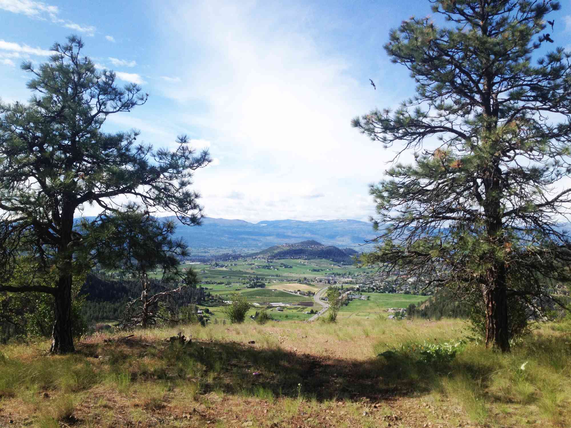
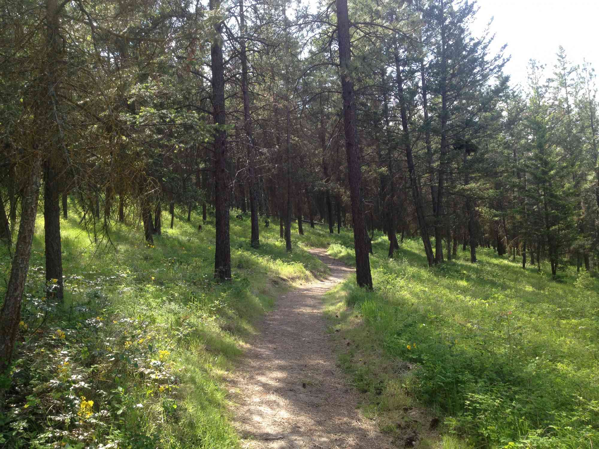
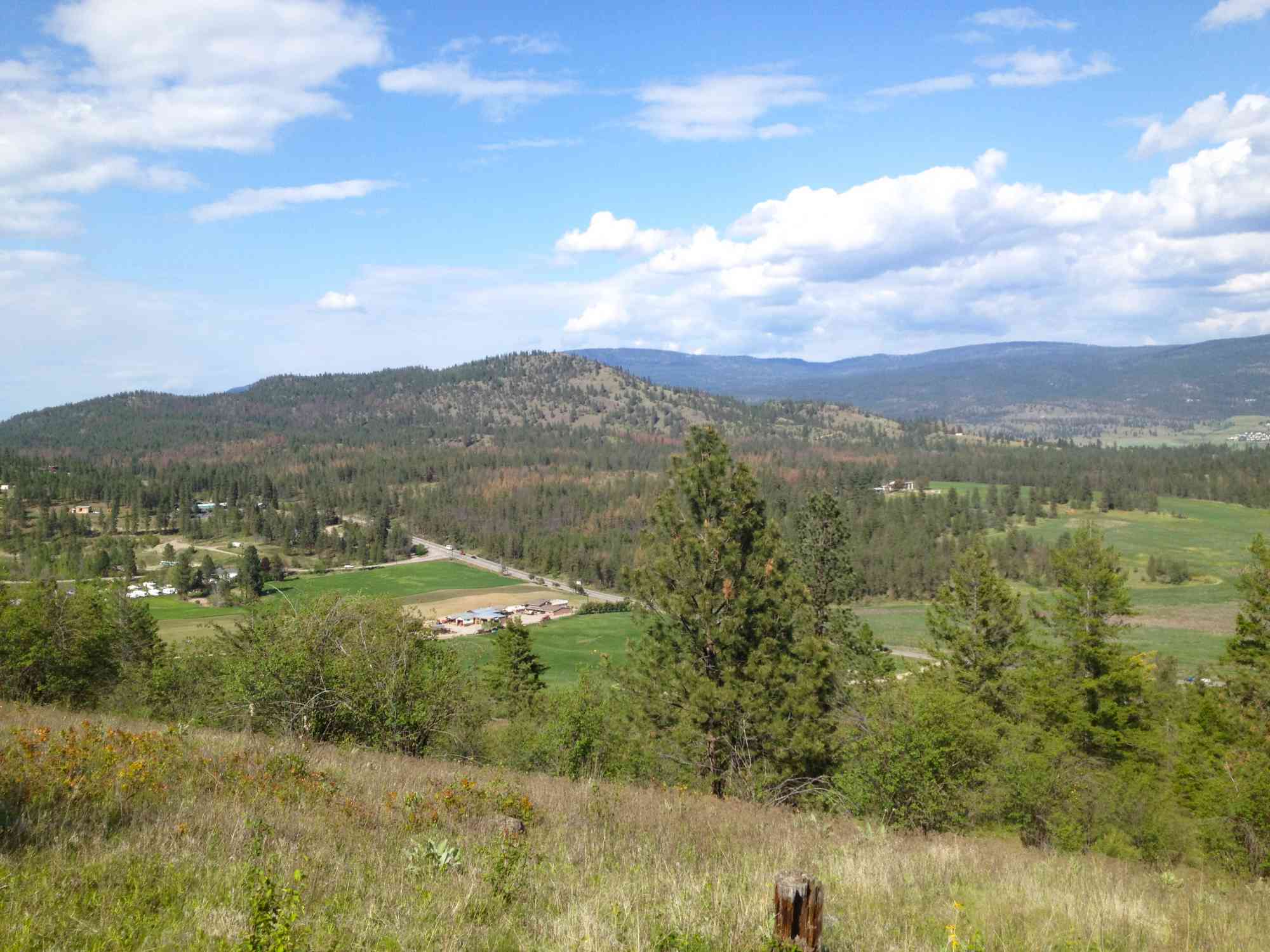
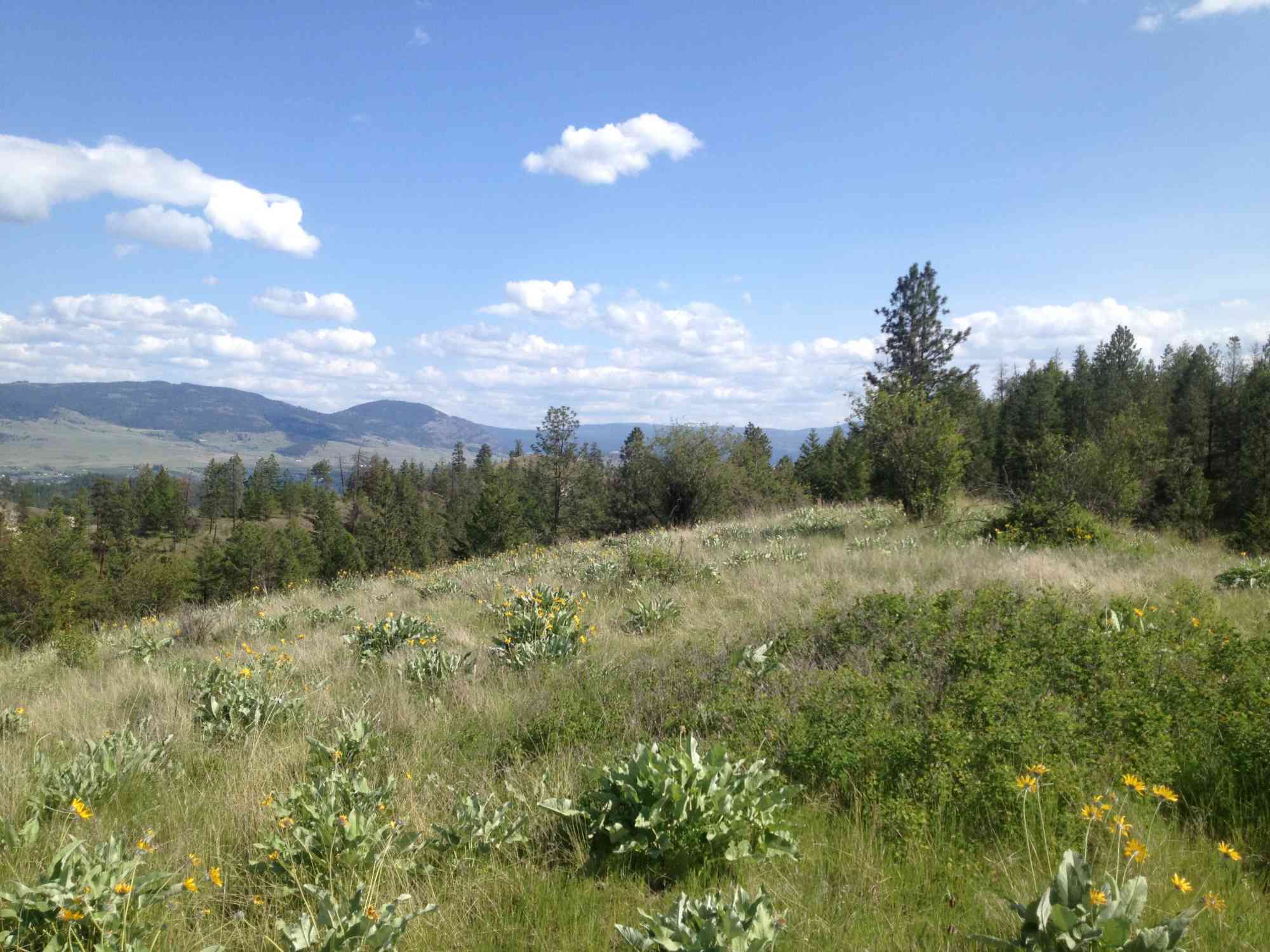
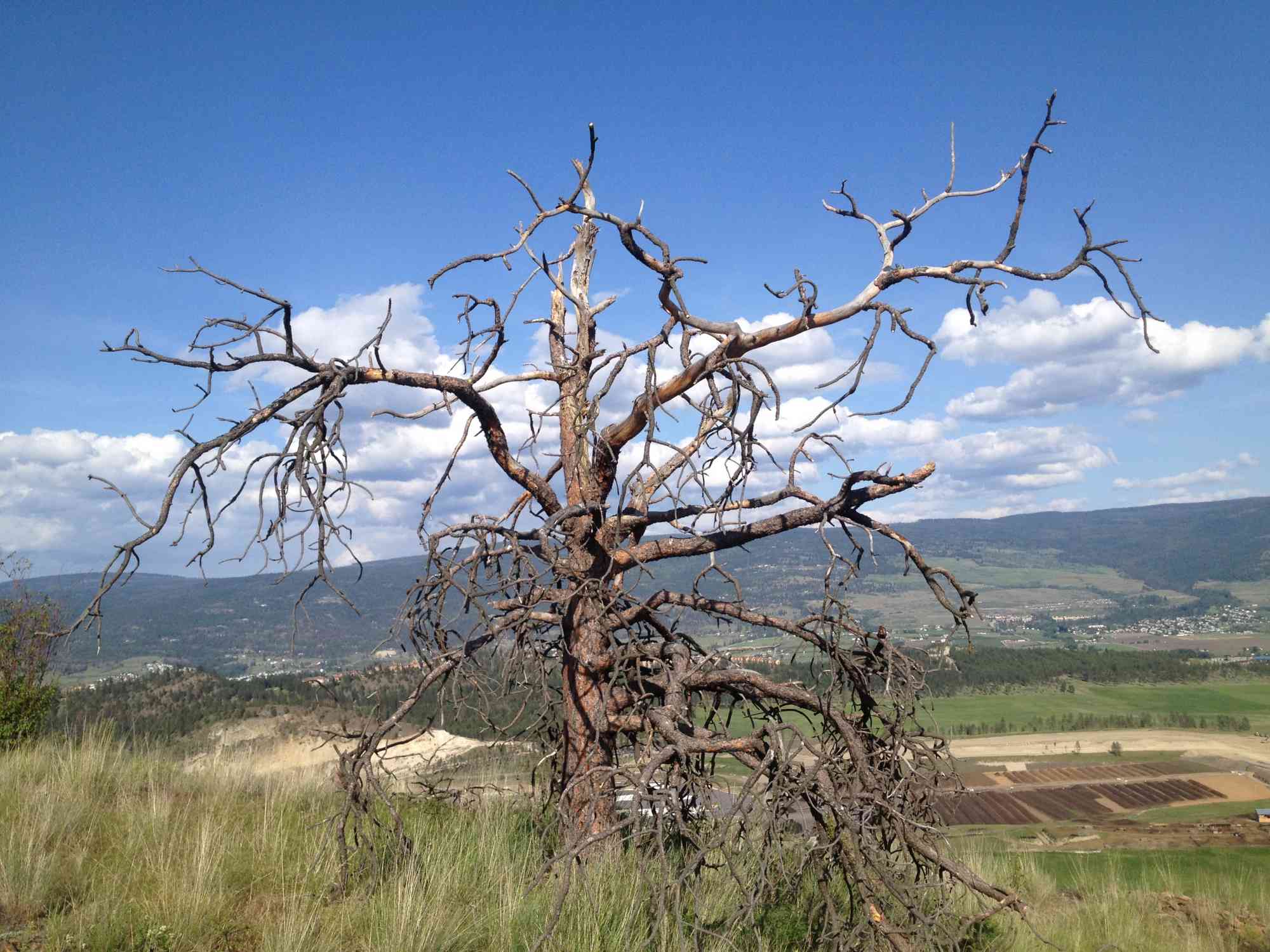
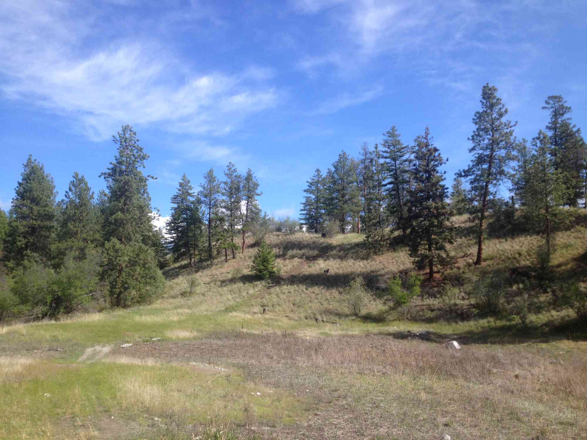
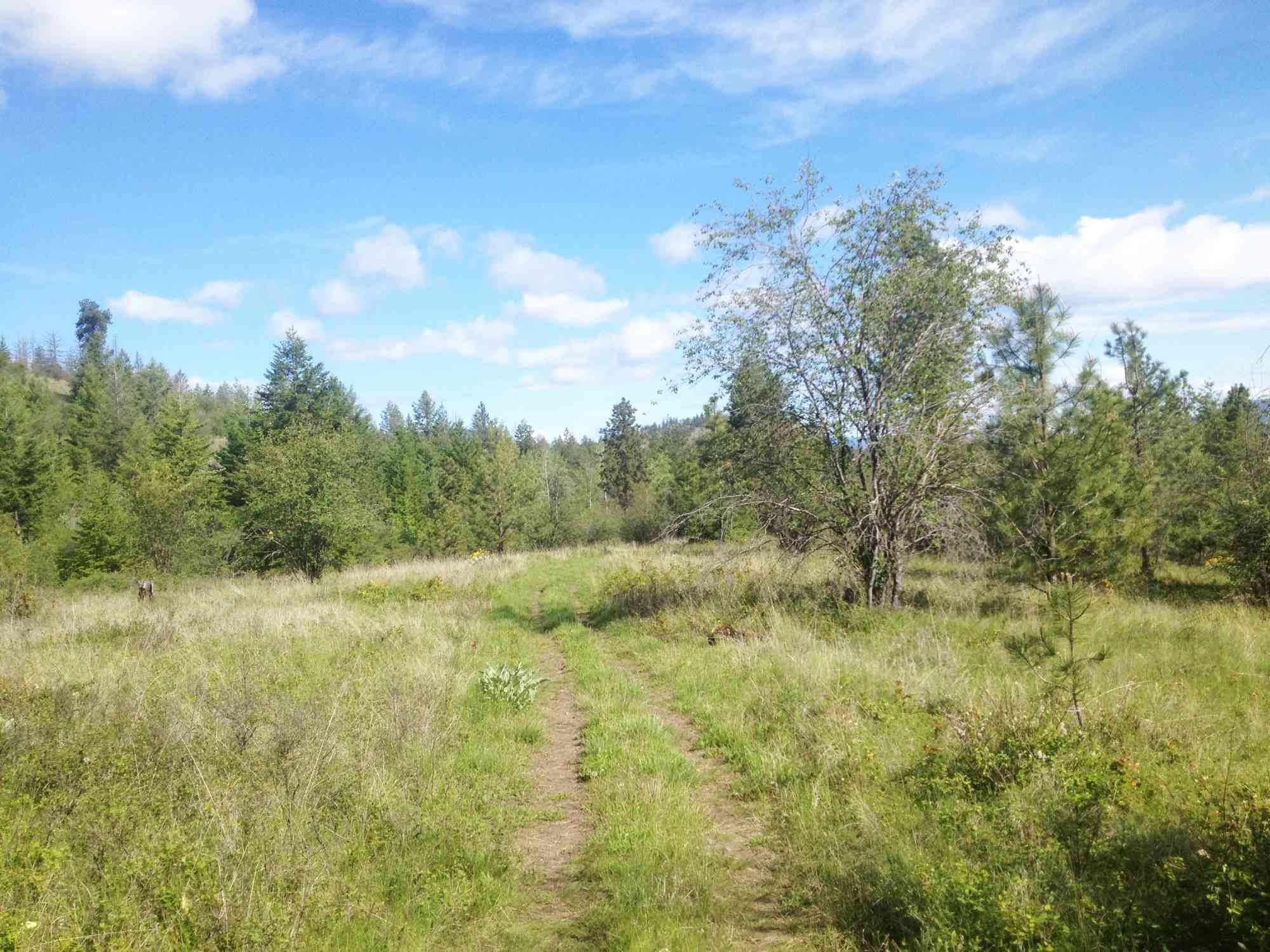
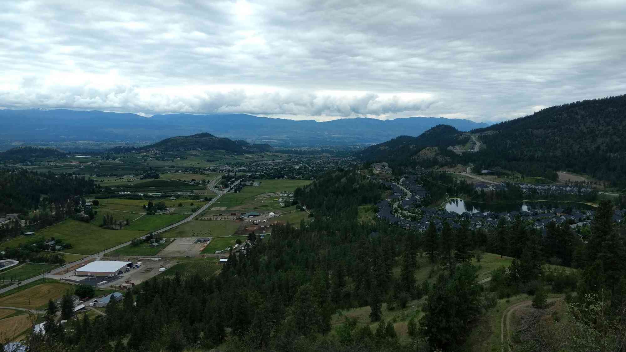
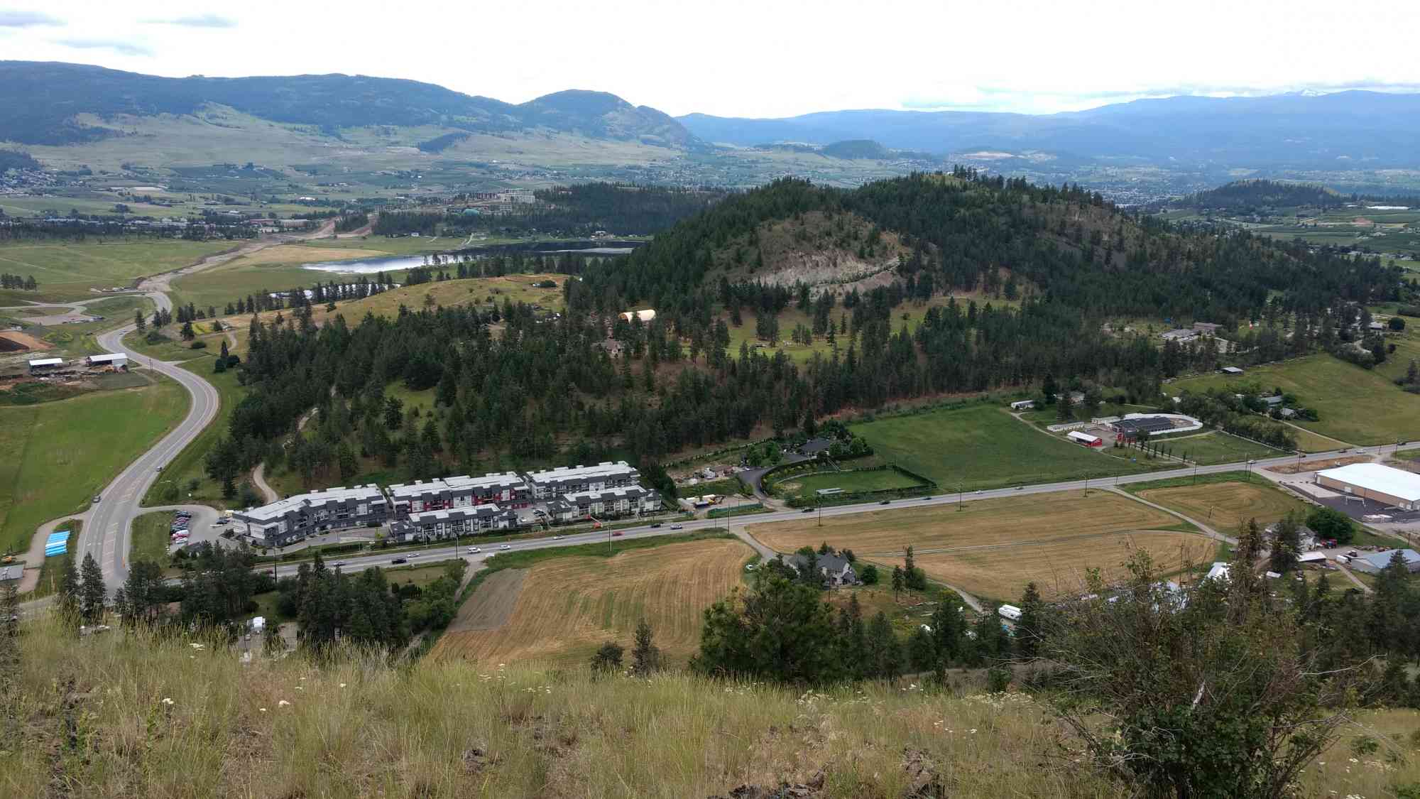
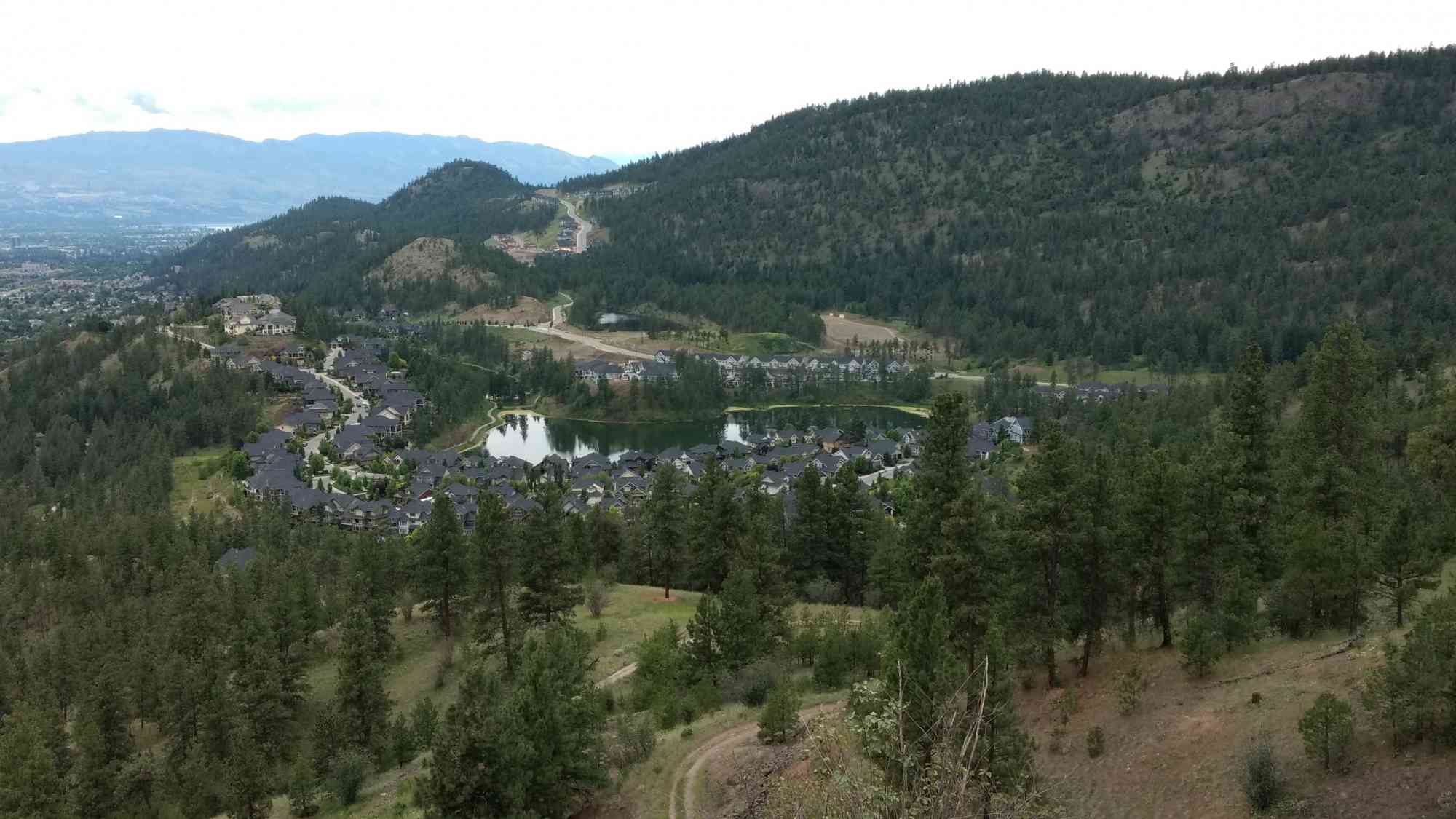
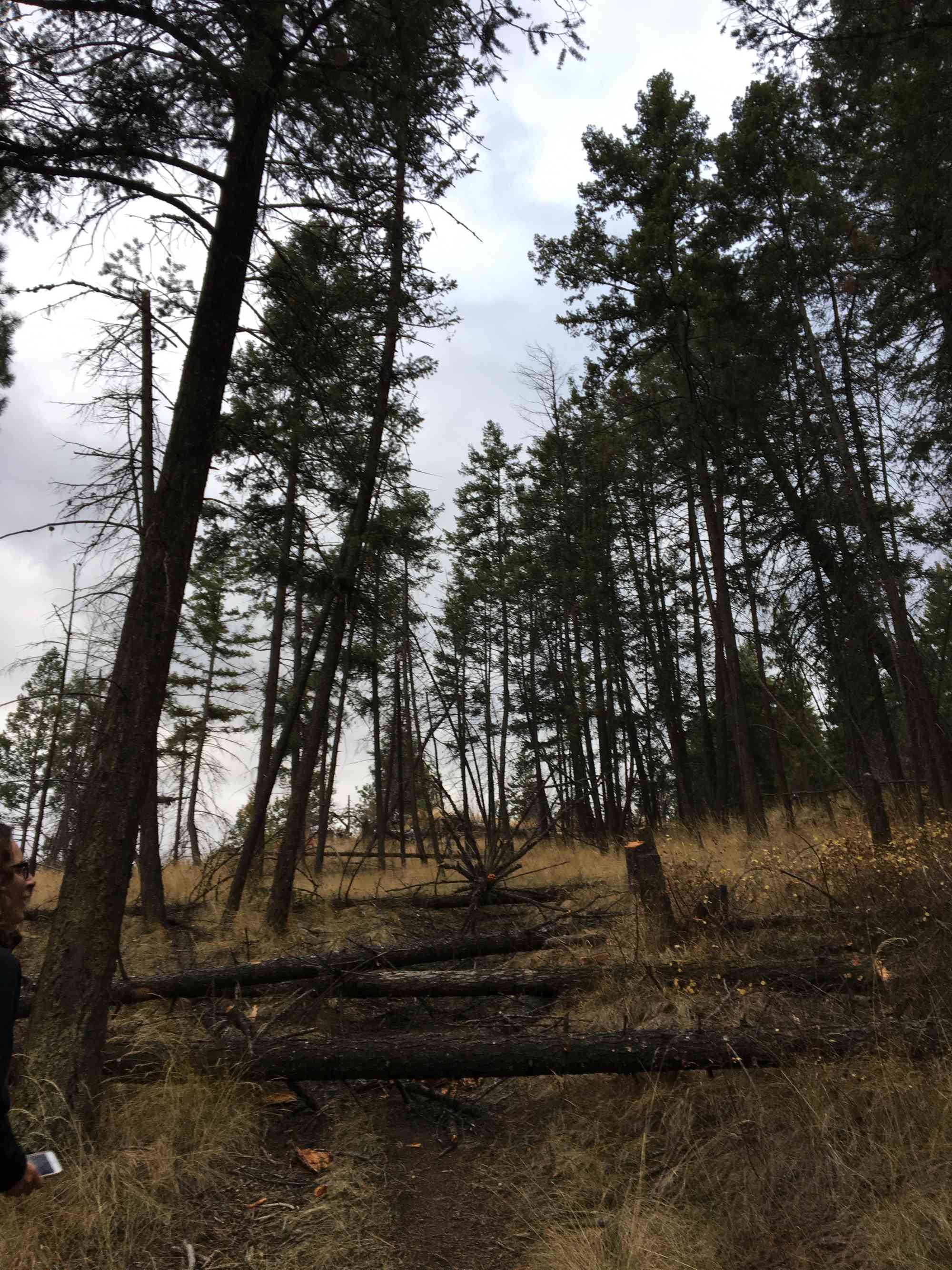
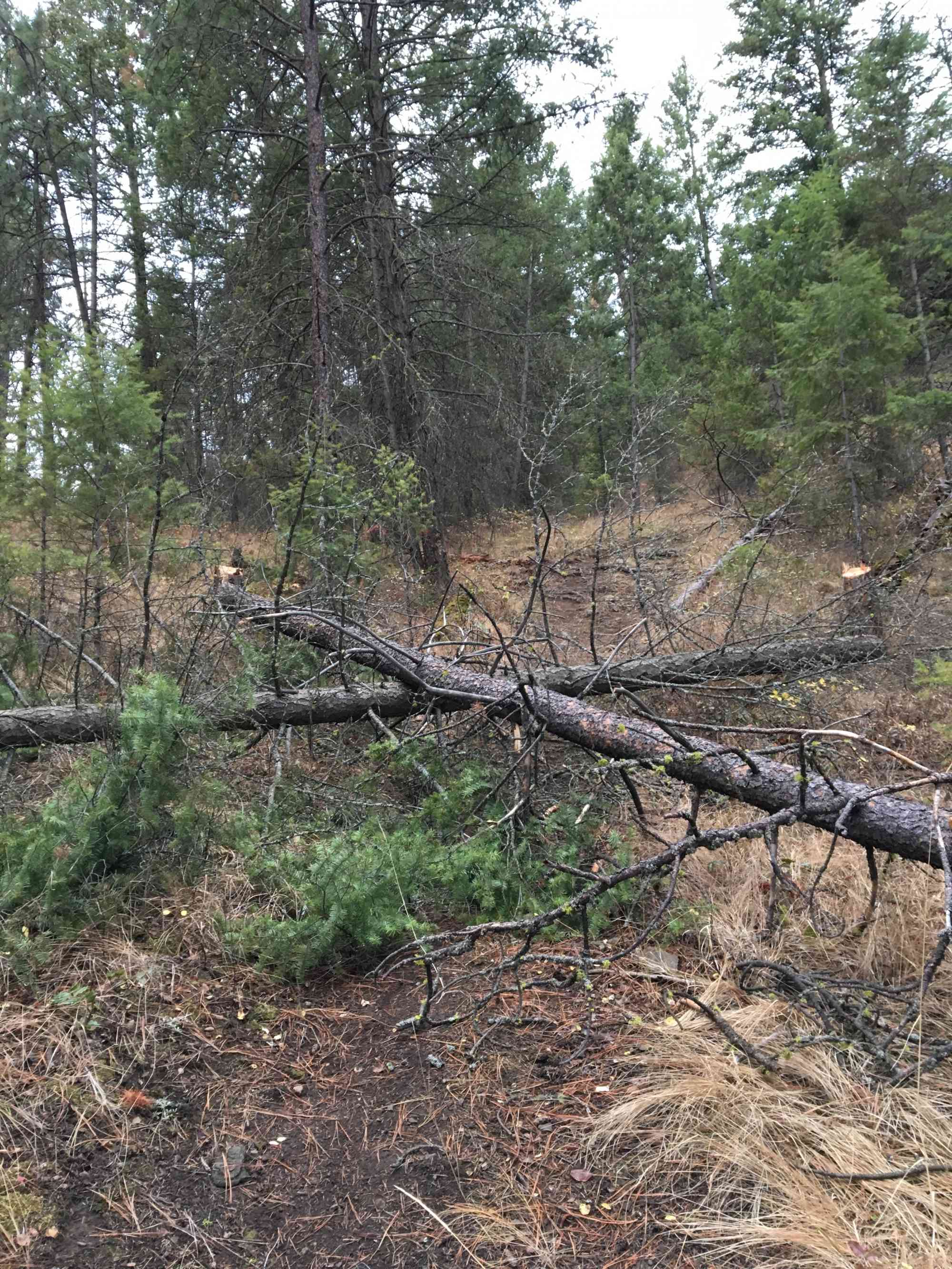
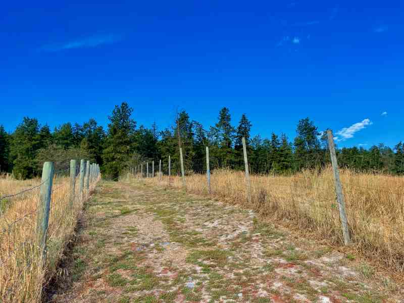
2347 Werger Rd, Kelowna, BCThis particular trail leads you to a perch overlooking the new Hidden Lake development area and offers one of the best views overlooking Glenmore. After parking in the dog park parking lot, head up the hill. At the first major intersection where the trail forces you to go left or right, keep right and immediately turn left to go slightly down and then up a large hill. At the top of the hill, keep left. Follow the trail over fallen trees. Stay straight at the three-way intersection with the yellow No Tresspassing sign. Then, at the next major 4-way intersection, go straight through for the Viewpoint. Coming back along that same trail to that intersection on return, turn at your first right to come down to the pond. Follow this all way the down to the first intersection.
Glenwest Properties, despite the "No Trespassing" signs permits hikers on the dirt pathways at their own risk. Absolutely no motorized vehicles. However, as a courtesy please call Glenwest Properties at (250) 862-1150 for permission. Use the GPS map to find your way through this trail, if possible. There are a number of forks, many of which simply lead out of the park.
Glenwest Properties, despite the "No Trespassing" signs permits hikers on the dirt pathways at their own risk. Absolutely no motorized vehicles. However, as a courtesy please call Glenwest Properties at (250) 862-1150 for permission. Use the GPS map to find your way through this trail, if possible. There are a number of forks, many of which simply lead out of the park.
Route
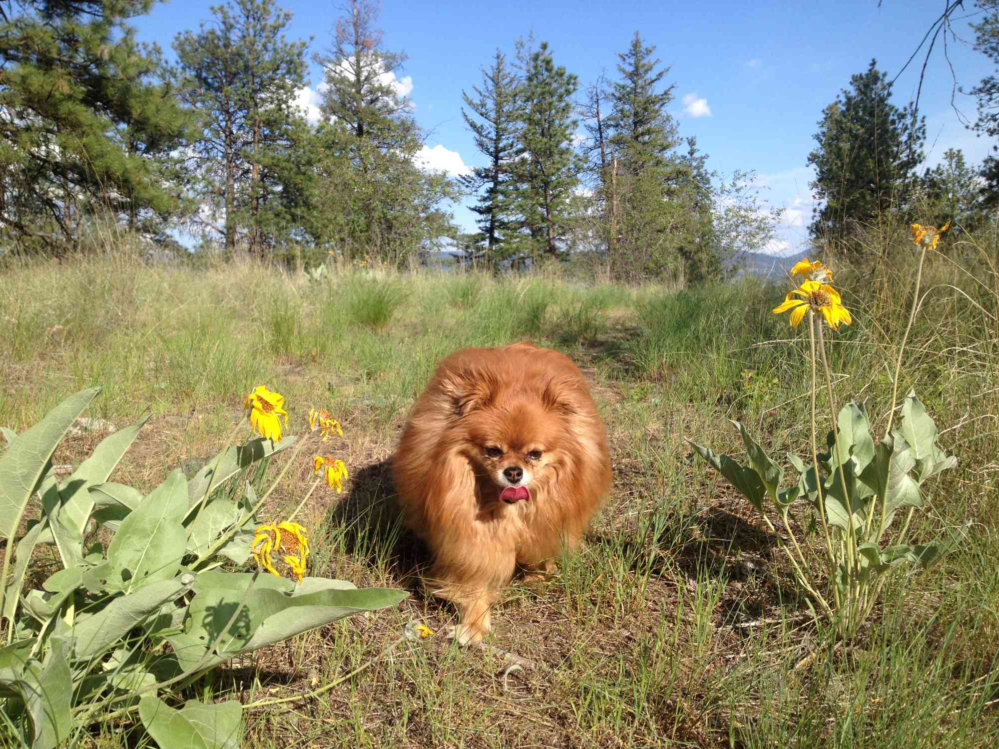
Kids & Pets
Features
Address
Driving Time
From Downtown Kelowna, approximate travel time by car is 17 min.
Notable GPS Co-ordinates
Detailed Directions
2. Turn LEFT on Spall (the road now turns into Glenmore Dr)
3. Follow the road just past the Glenmore Landfill on the right
4. Park at Stephens Coyote Ridge/Glenmore Dog Park on the left at the SECOND parking lot.
Google Directions
We have a downloadable GPS map for this trail!
Last Updated on Sunday, January 26, 2025
Need help using it? See our FAQ.GPS Notes
Comments
Leave a comment