
Angel Springs via June Springs Rd
Angel Springs via June Springs Rd
Southeast Kelowna
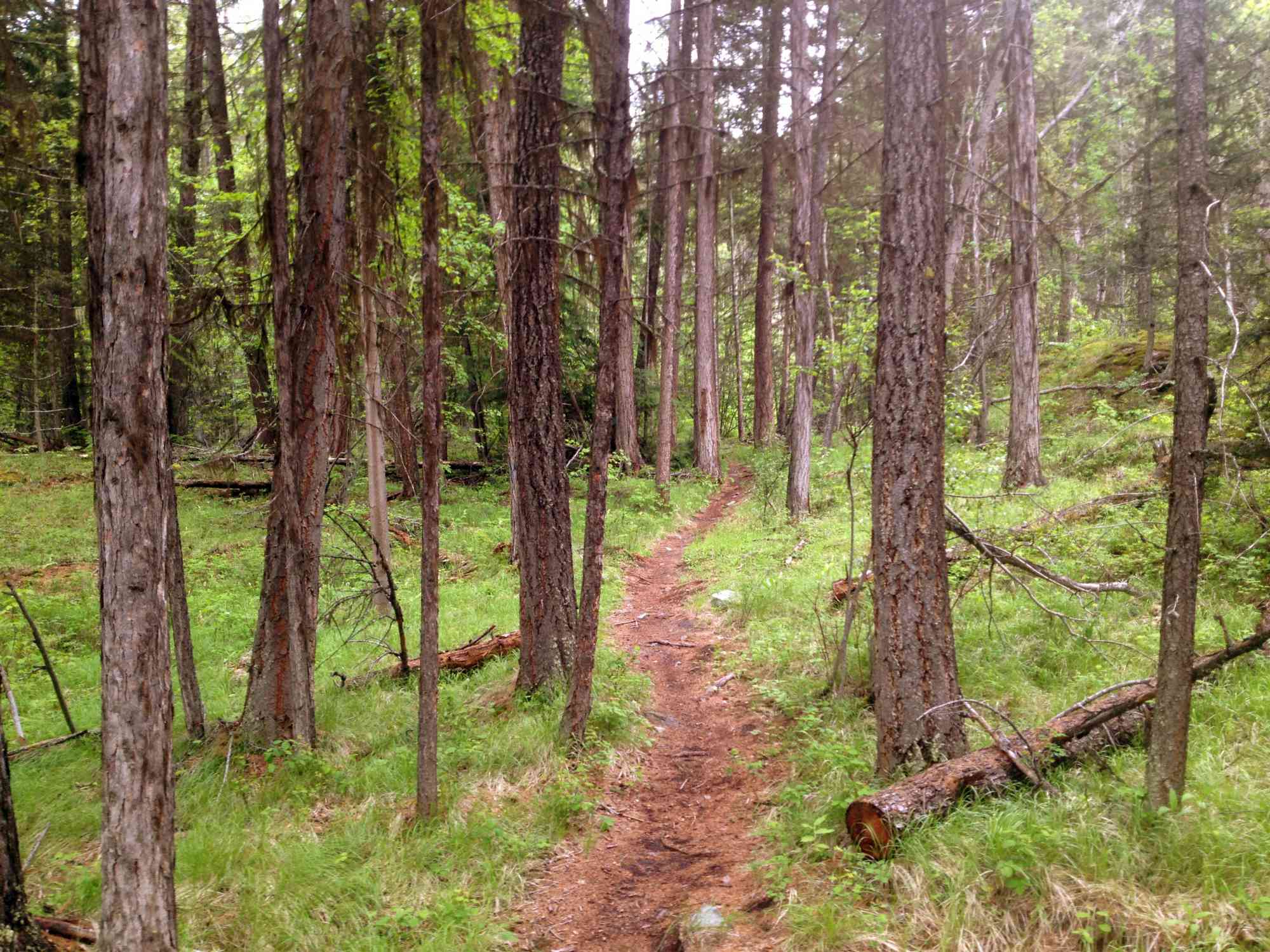
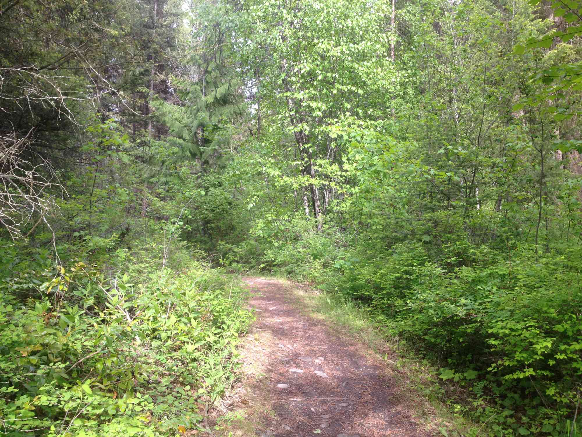
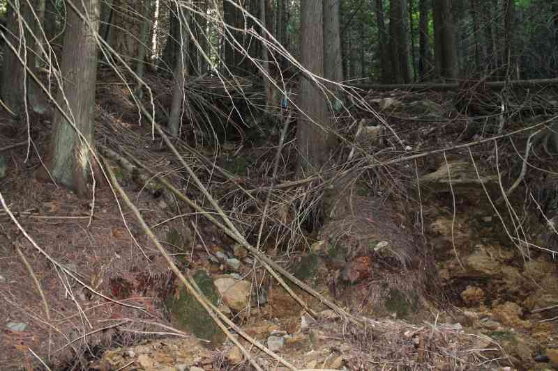
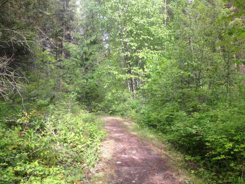
Beginning at Little White Forestry Service Road in East Kelowna, this moderate coniferous forest trail gives you the chance to witness interesting geological formations and natural springs.
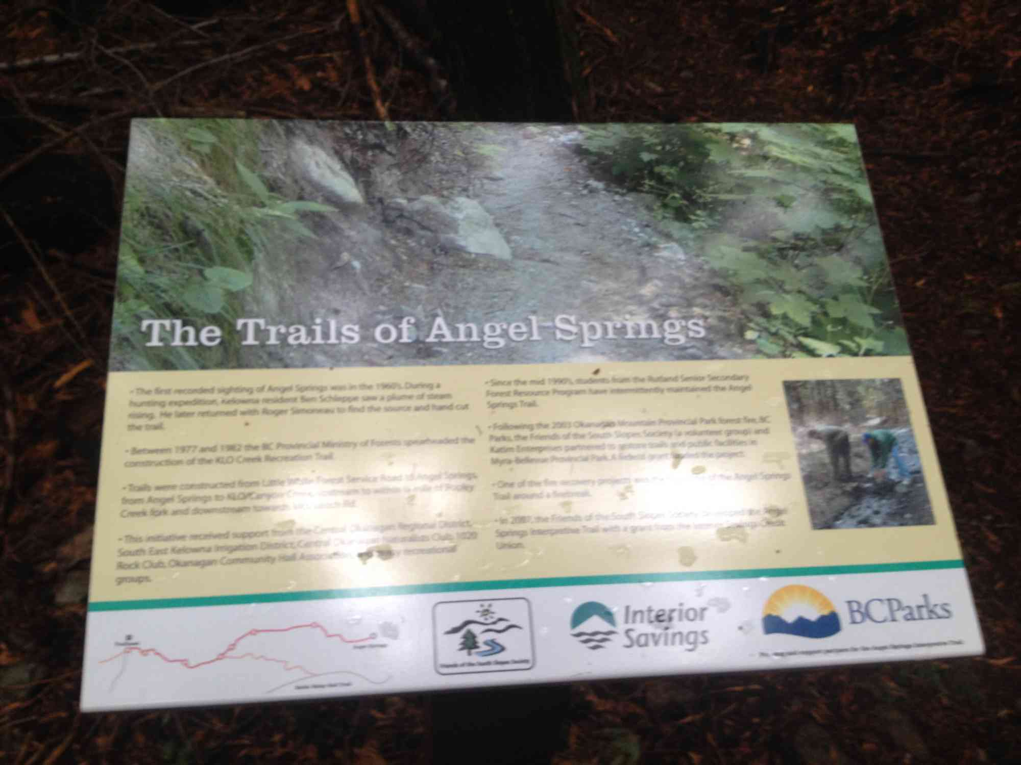
The 4 km trail is part of KLO creek and offers narrative plaques describing the local flora, which include Douglas-fir, Lodgepole Pine, Western Larch and Western Red Cedars.
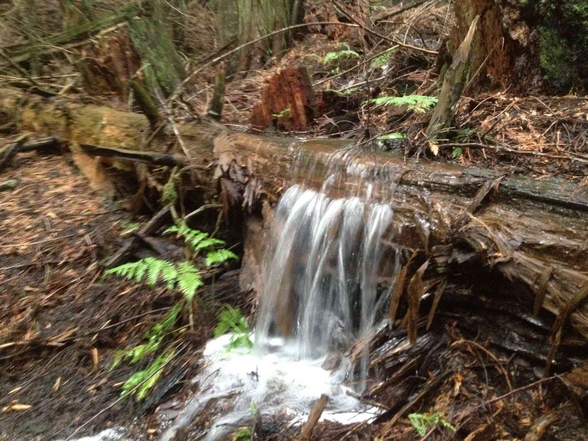
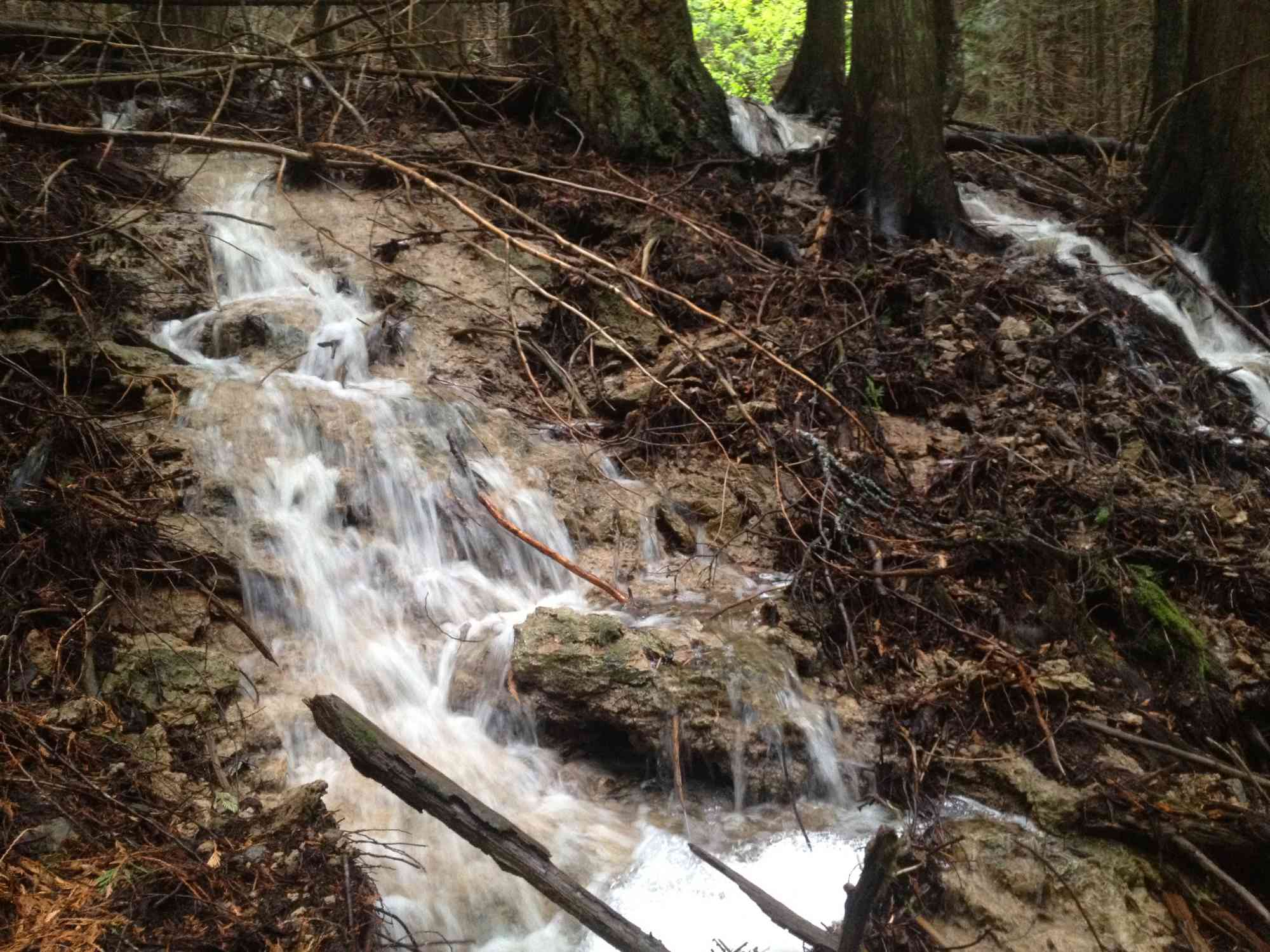
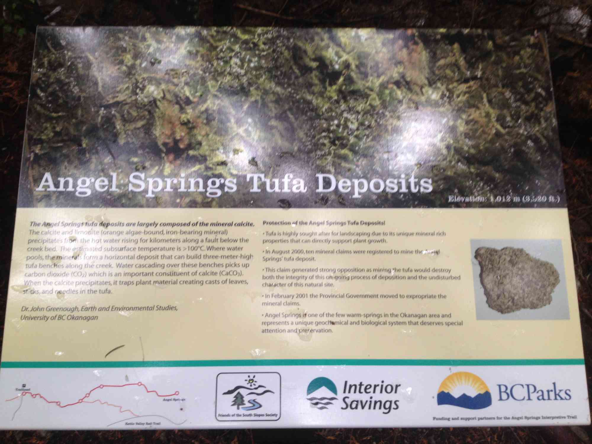
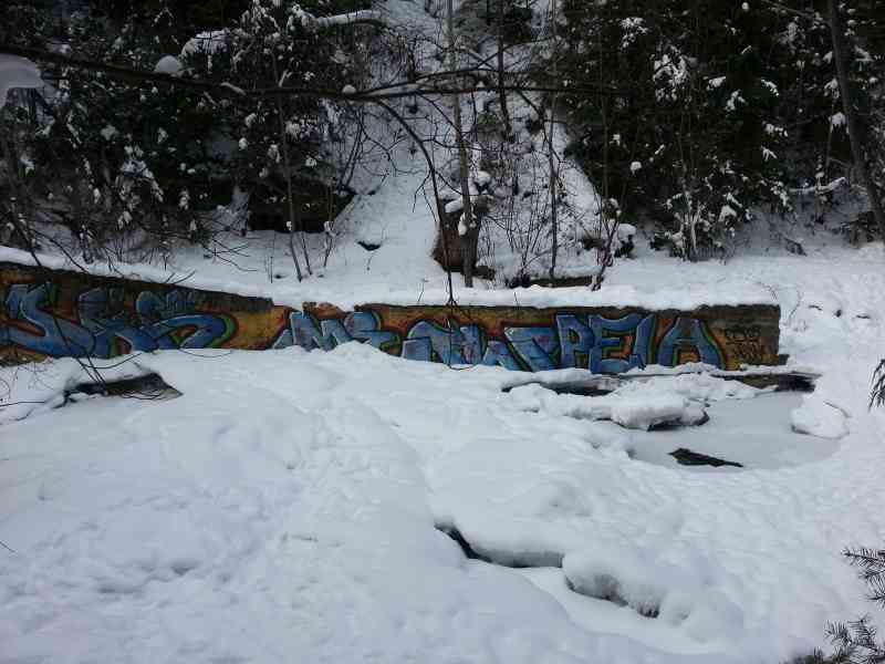
Although water below the surface is heated geo-thermally to over 100°C, the above ground springs are lukewarm at about 25°C and can be identified by orange-coloured, 10 metre-high tufa deposits that they have created. Tufa is a mineral formed when calcite crystallizes after water evaporation.
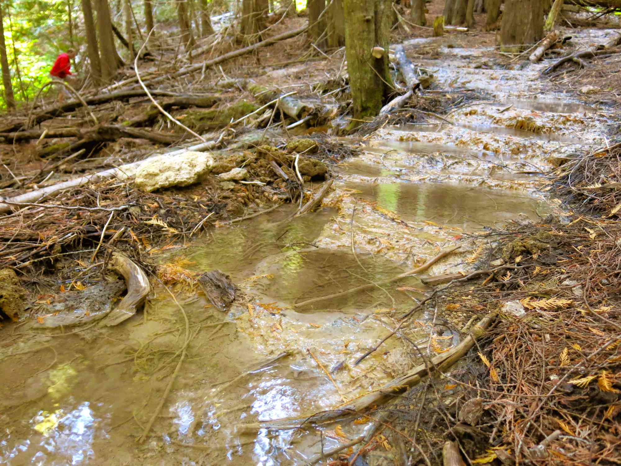
Angel Springs can be quite cool during springtime due to mountain runoff. It is suggested to visit during summer months.

Route
Kids & Pets
Features
Address
Driving Time
From Downtown Kelowna, approximate travel time by car is 35 min.
Notable GPS Co-ordinates
Detailed Directions
1. Drive towards Vernon on Highway 97/Harvey from downtown.
2. Turn RIGHT on Gordon Dr
3. Turn LEFT on K.L.O. Rd
4. Turn RIGHT onto McCulloch Rd
5. Turn right/continue onto June Springs Rd.
6. Continue to the end of June Springs Rd, and follow the dirt road to the Angel Springs parking lot on the right.
Google Directions
Duration Calculator
The metrics for this trail have been converted to round-trip formation for distance and elevation gain/descent if necessary.
We have a downloadable GPS map for this trail!
Last Updated on Sunday, January 26, 2025
Need help using it? See our FAQ.
Leave a comment
You must Login to post a comment!