
Knox: Grainger Summits Loop
Knox: Grainger Summits Loop
Glenmore
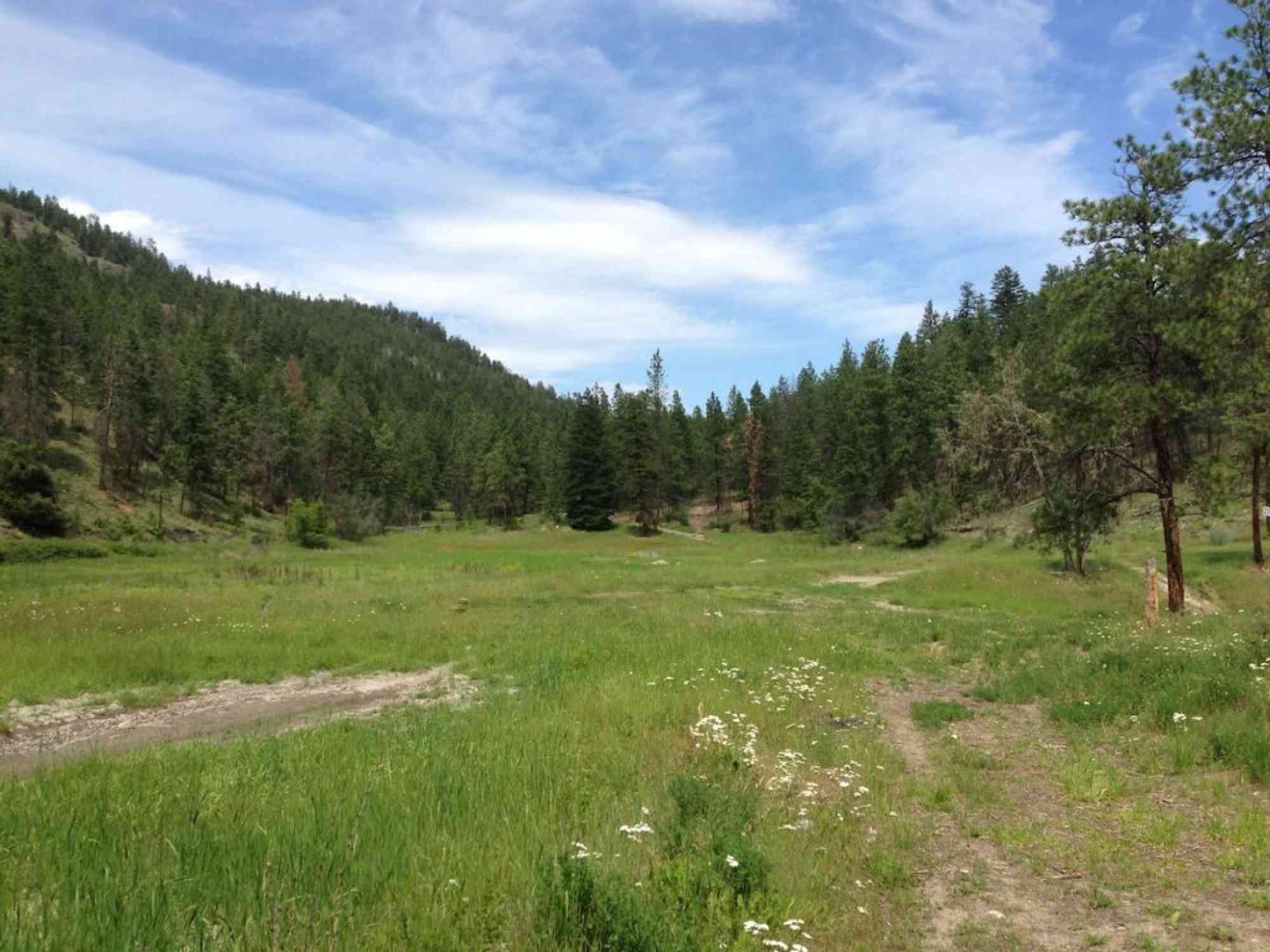
Often confused with the main hiking area on Knox Mountain Park, the Grainger subsection, is to the east of Clifton Road and is an entirely separate natural area.
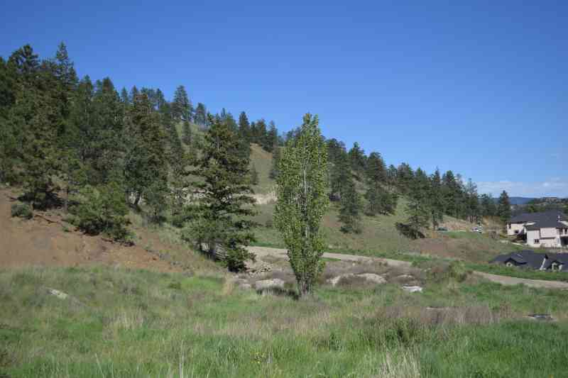
The trail network began heavy development during 2023 (with plans for trail signage and more). Much of the northern part (above the intersection of Rio Dr & Upper Canyon Dr) of the natural area is not officially reserved as parkland. In the future, it will likely be developed with homes. However, the primary summit is within the park boundaries.
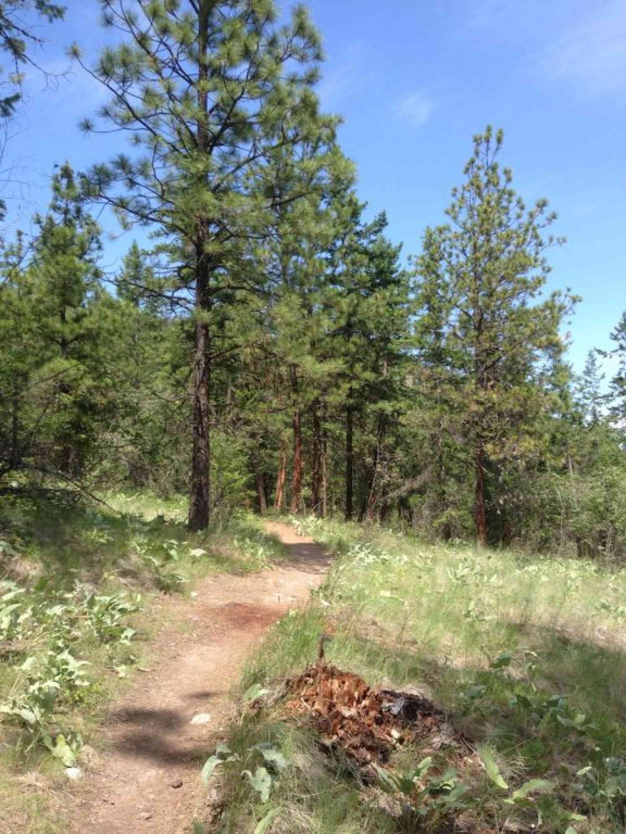
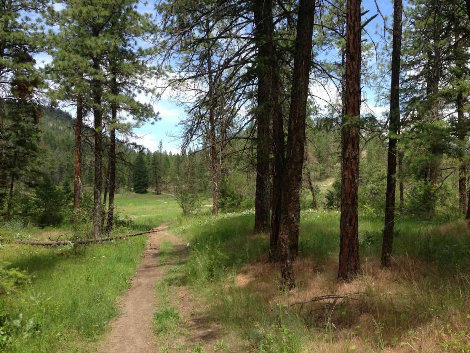
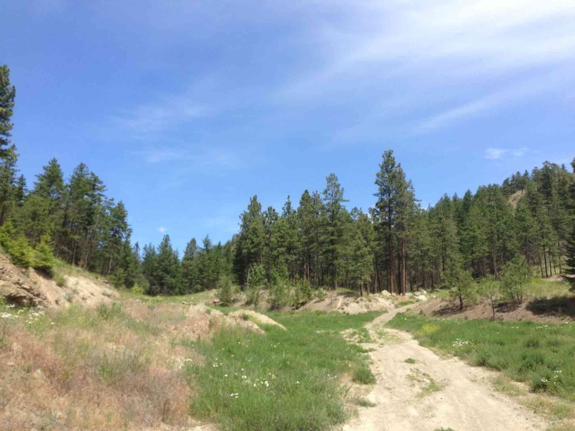
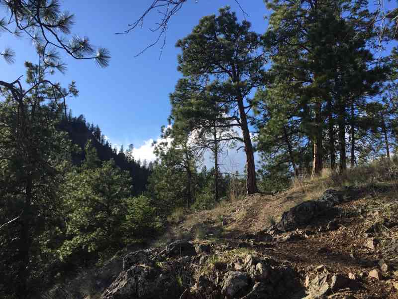
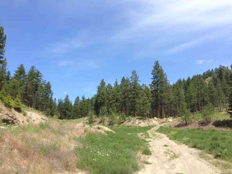
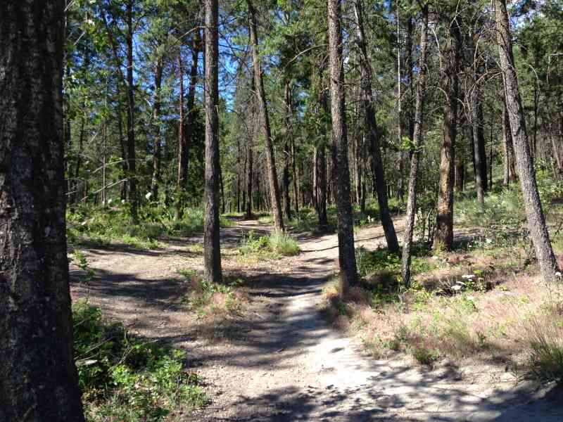
The network is currently marked with usage rather than signage, and there is a complex network of pathways that all intersect offering a "create your own" hike feeling. Cyclists have created a variety of amateur jumps as well.
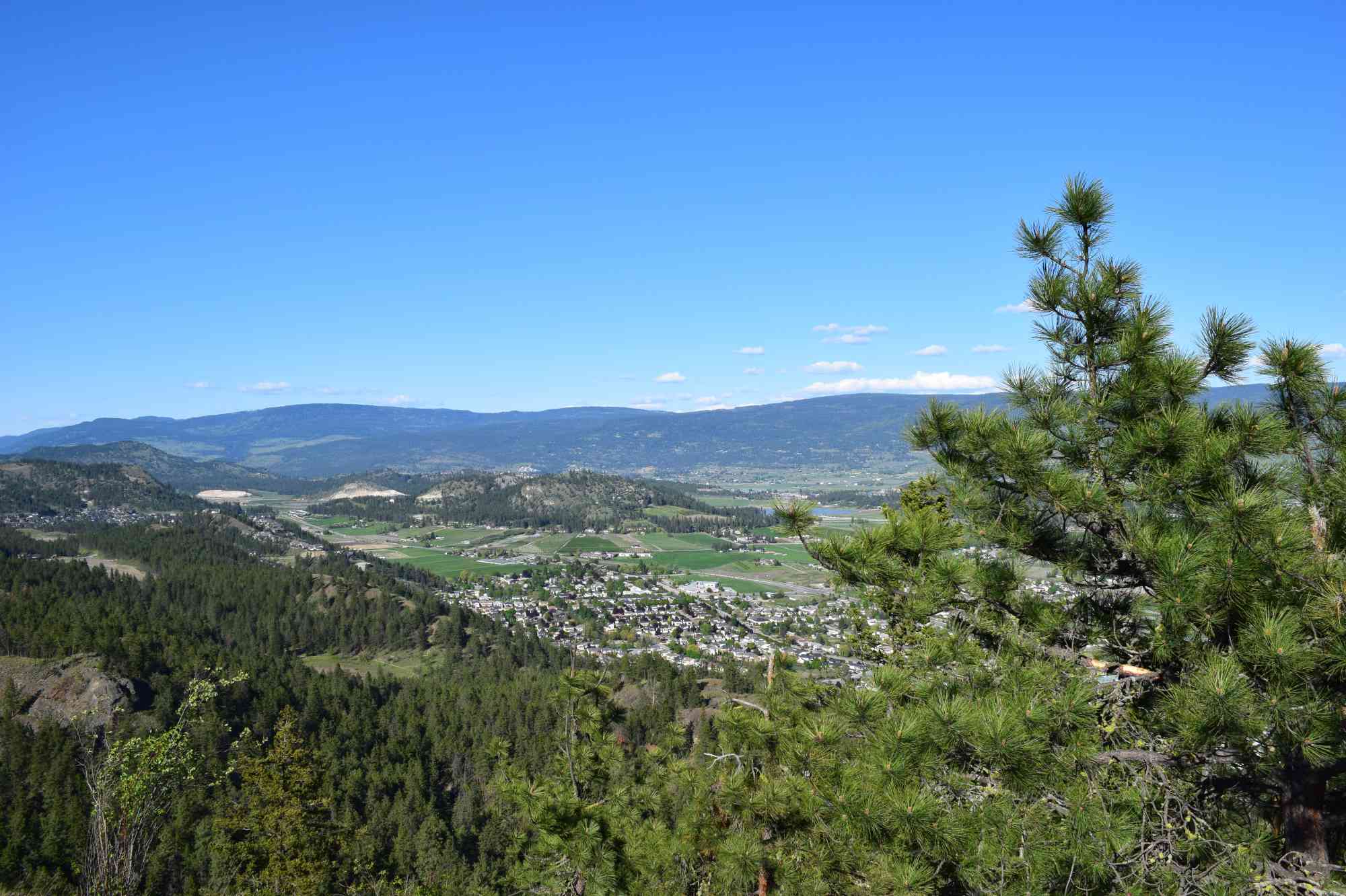
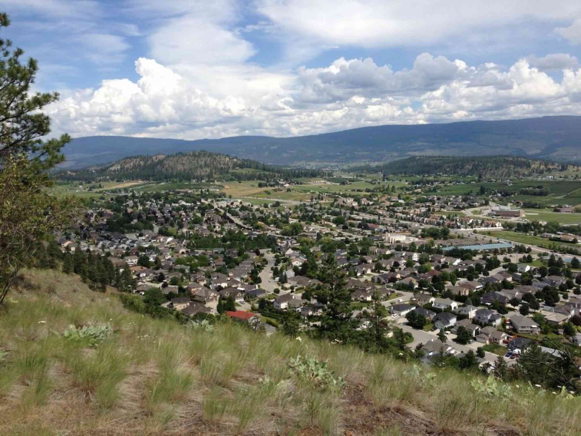
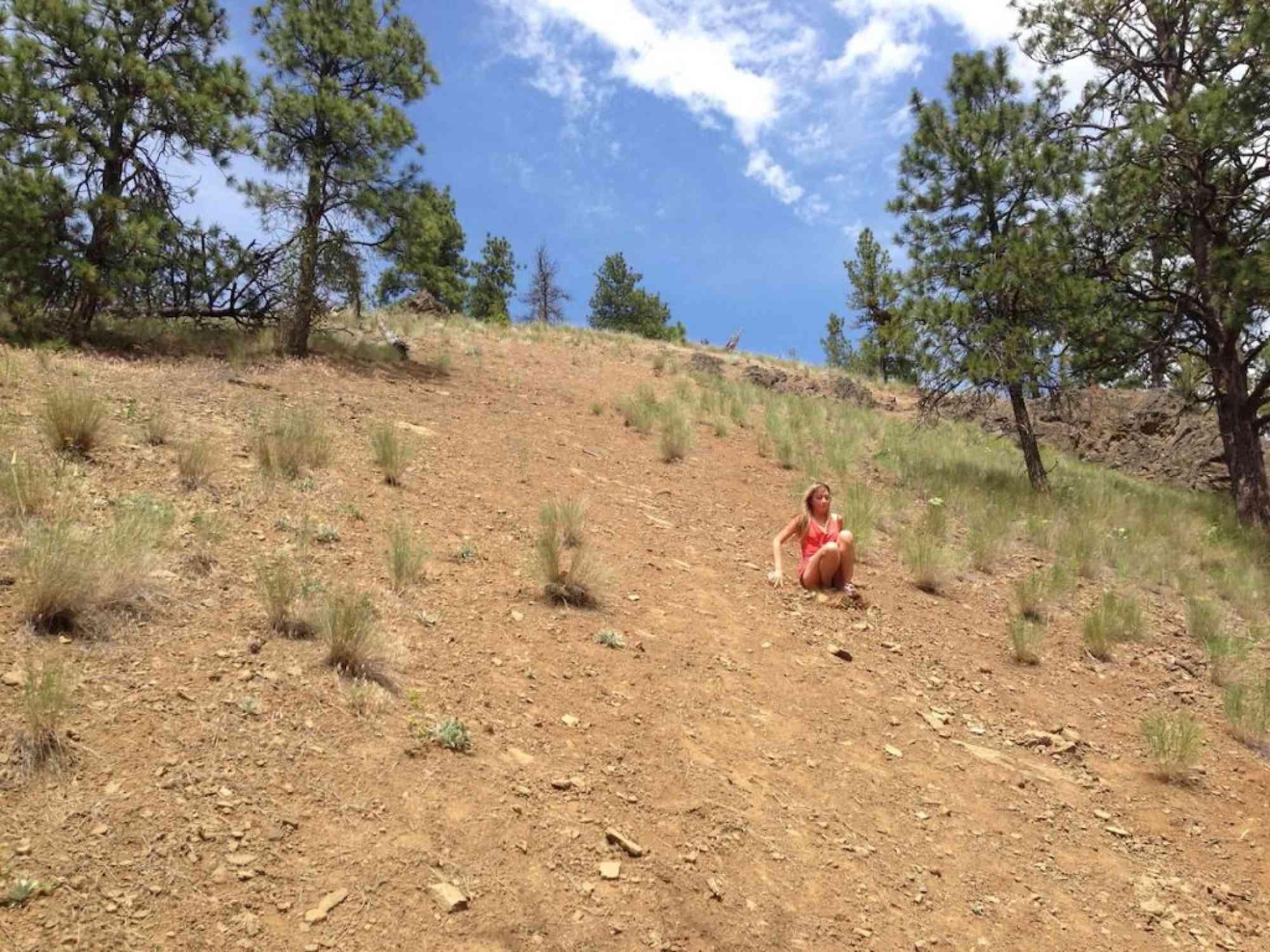
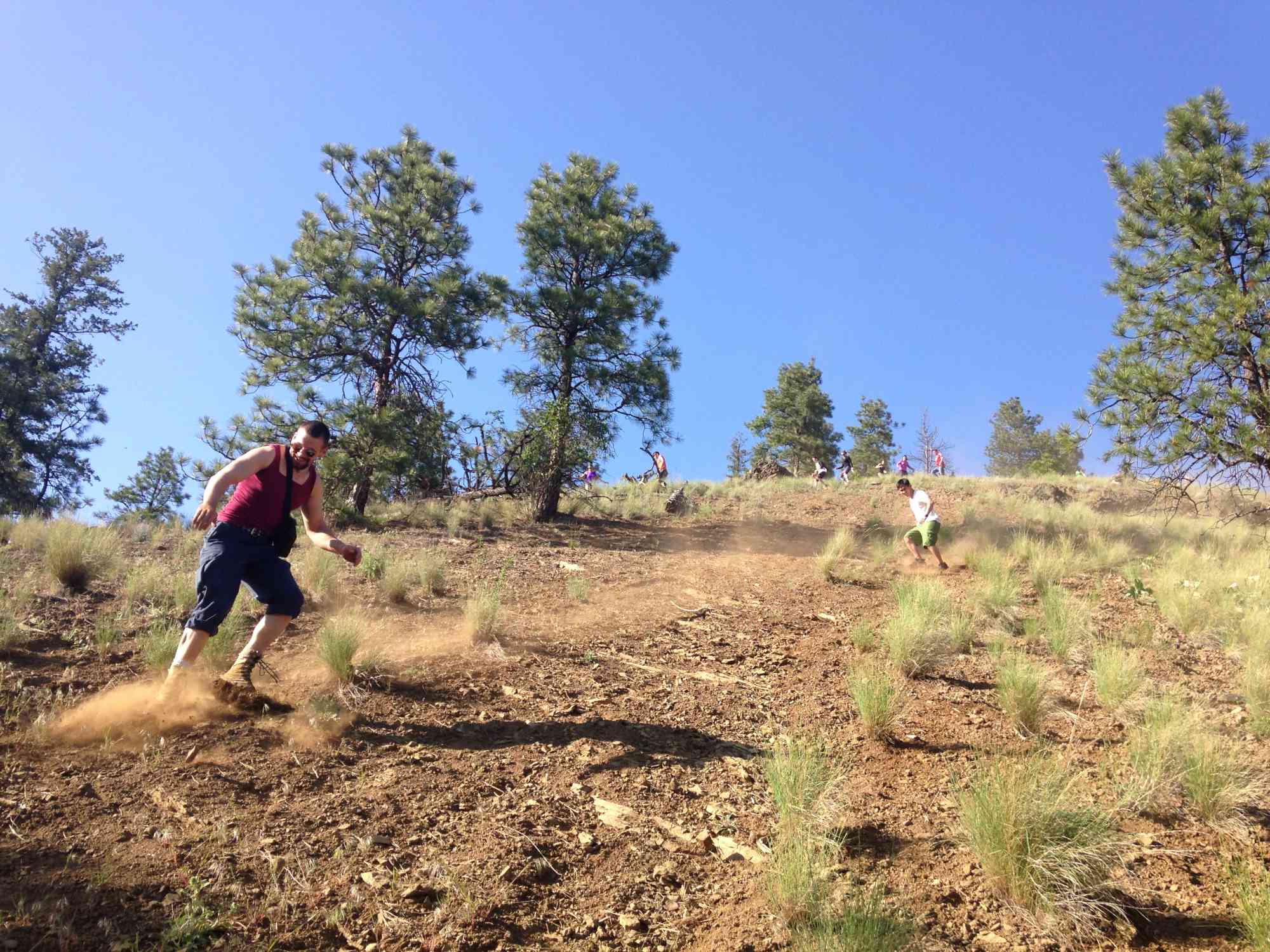
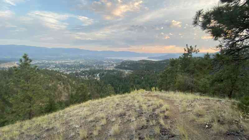
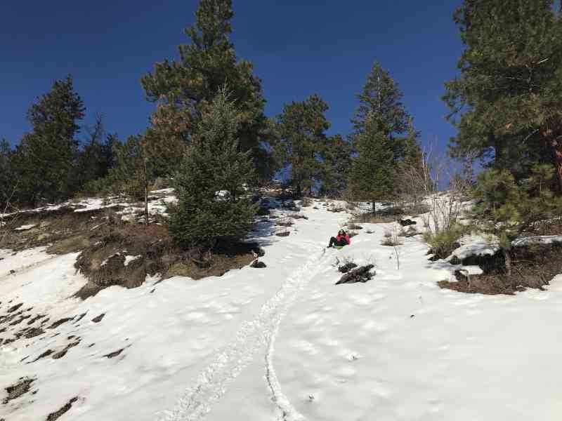
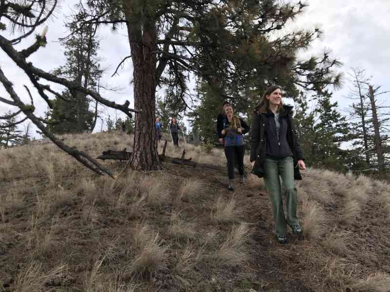
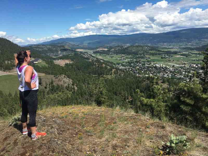
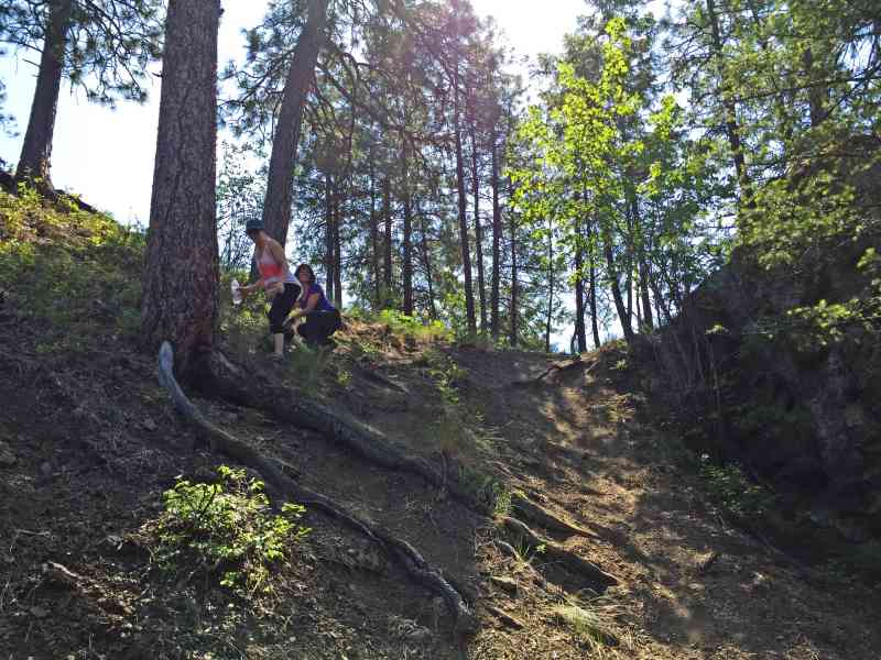
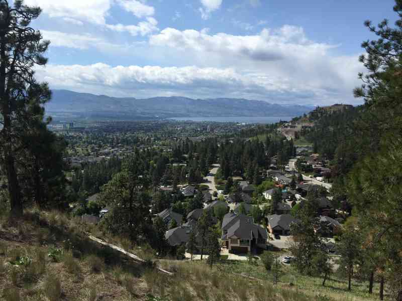
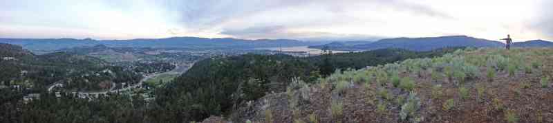
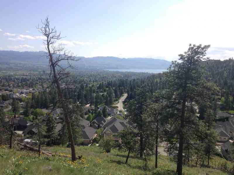
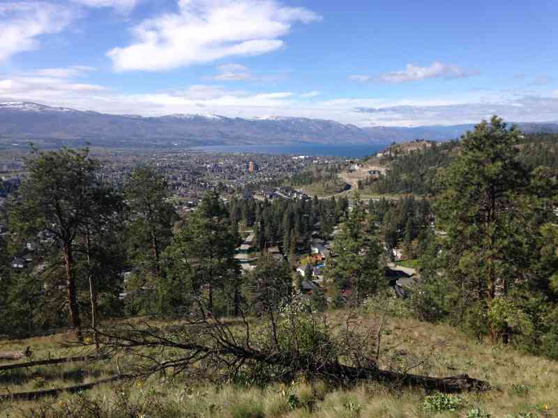
Stunning views of Northern Glenmore (notably Wilden) and downtown. The ascent to the apex of the trail follows a newly created wider switchback to a stellar view of the city. The final trek down descends the south side of the mountain at an intense slope! Definitely prepare to slide down on your shoes a bit.
Route
Kids & Pets
Features
Address
Driving Time
From Downtown Kelowna, approximate travel time by car is 10 min.
Notable GPS Co-ordinates
Detailed Directions
- From downtown, head NORTH on Harvey/Highway 97 towards Vernon
- Turn LEFT on Gordon
- Turn RIGHT on Clement
- Turn LEFT on Clifton
- Turn RIGHT on Rio Dr just past Blair Pond on the right.
- Park at the end of Rio Dr at the intersection where it turns uphill onto Upper Canyon Dr N and enter the park via the trails to the south.
Google Directions

Duration Calculator
The metrics for this trail have been converted to round-trip formation for distance and elevation gain/descent if necessary.
We have a downloadable GPS map for this trail!
Last Updated on Sunday, January 26, 2025
Need help using it? See our FAQ.
Did this on the weekend, great trail, a bit steep going down in parts. We connected eventually at the top to the public trails and found a wish tree!
Tuesday, July 29, 2014 at 3:13 PMVery confused as to where we meet, text me if you can help 2502316776
Wednesday, March 30, 2016 at 11:21 AMthanks :)
so am I! Could I get a text as well so I know where to meet the group tomorrow morning. 250.862.6490 Thank-you!!
Saturday, April 2, 2016 at 8:52 PMLeave a comment
You must Login to post a comment!