
Myra Canyon: Full Loop
Myra Canyon: Full Loop
Crawford
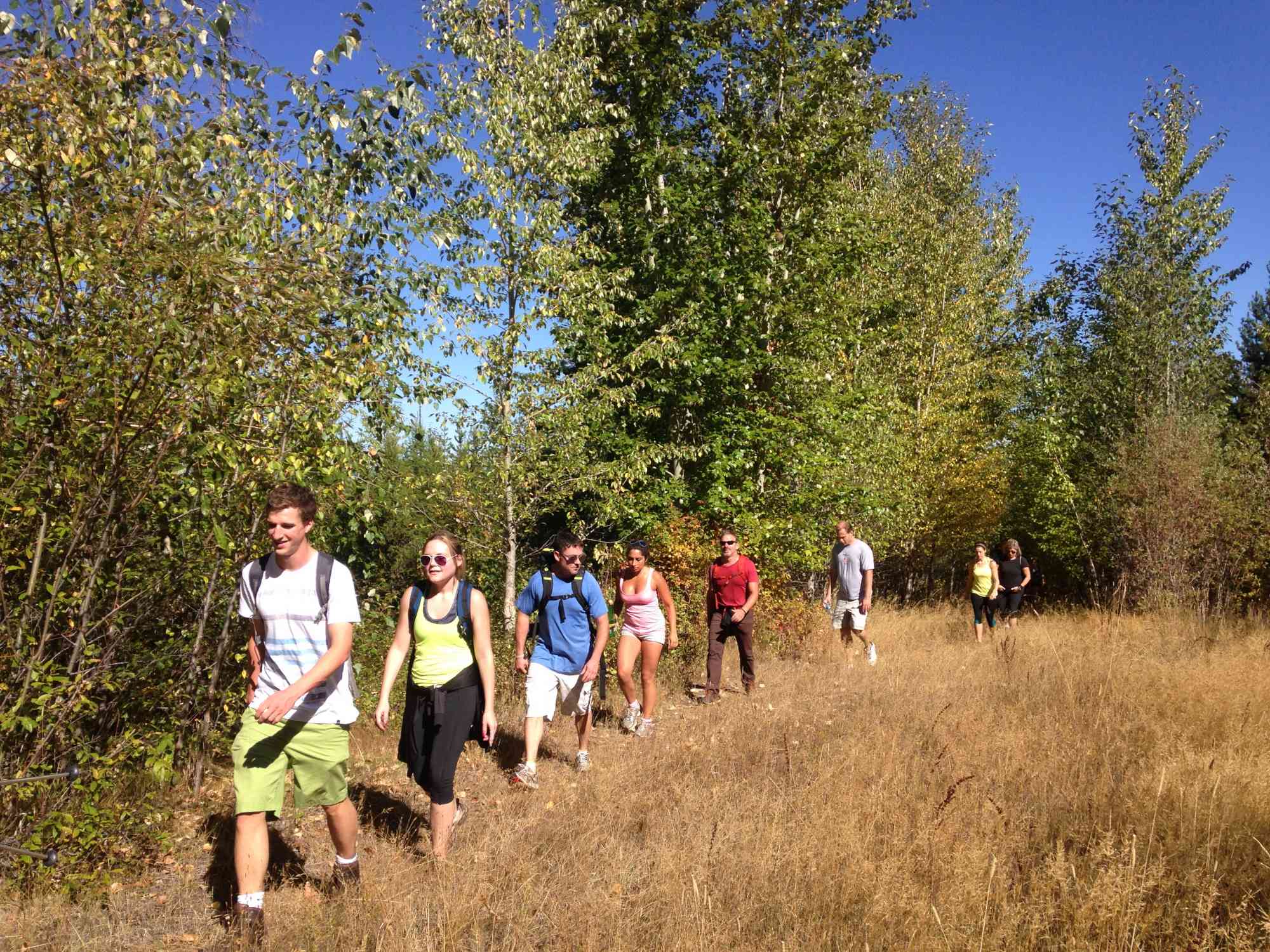
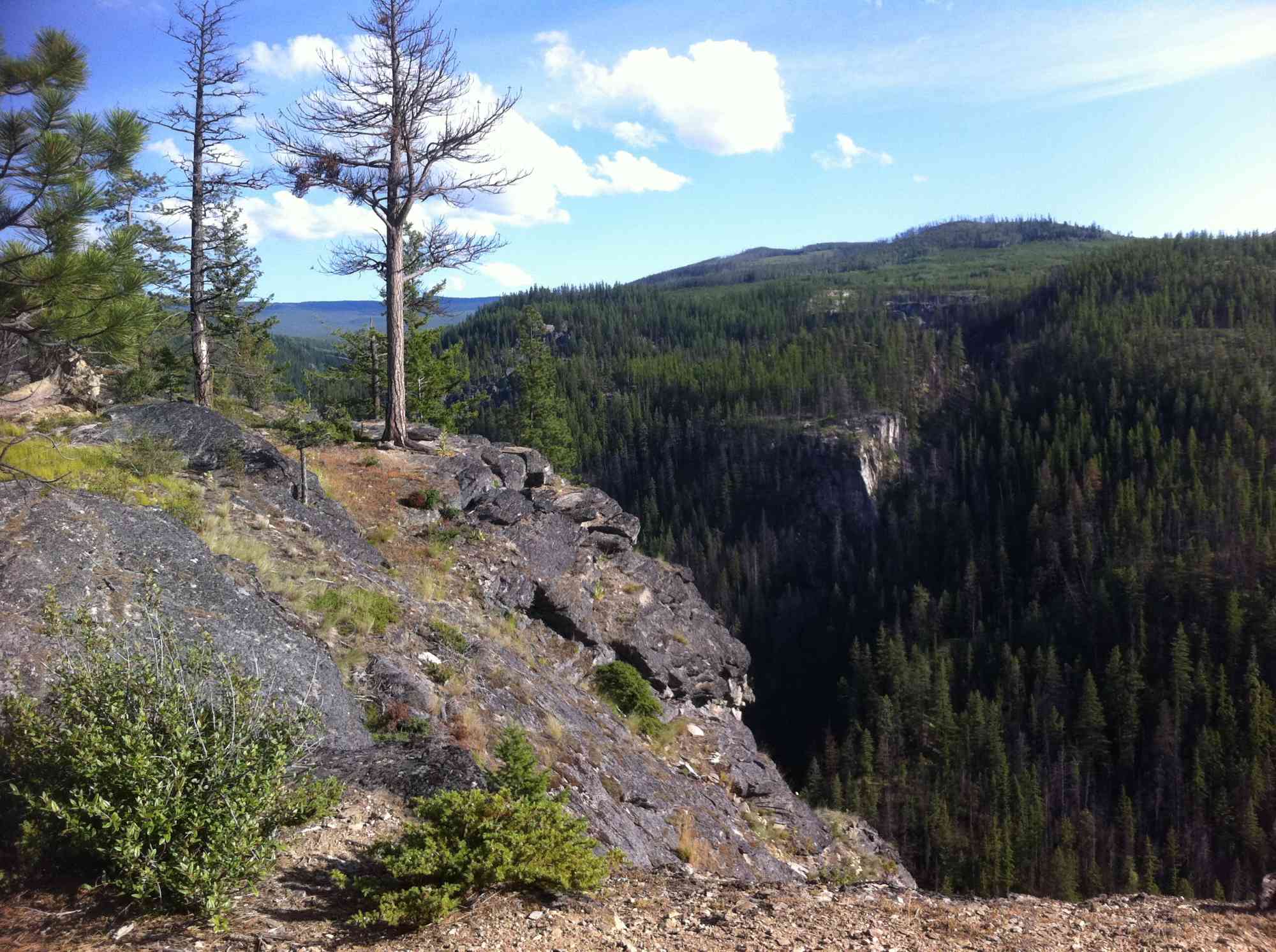
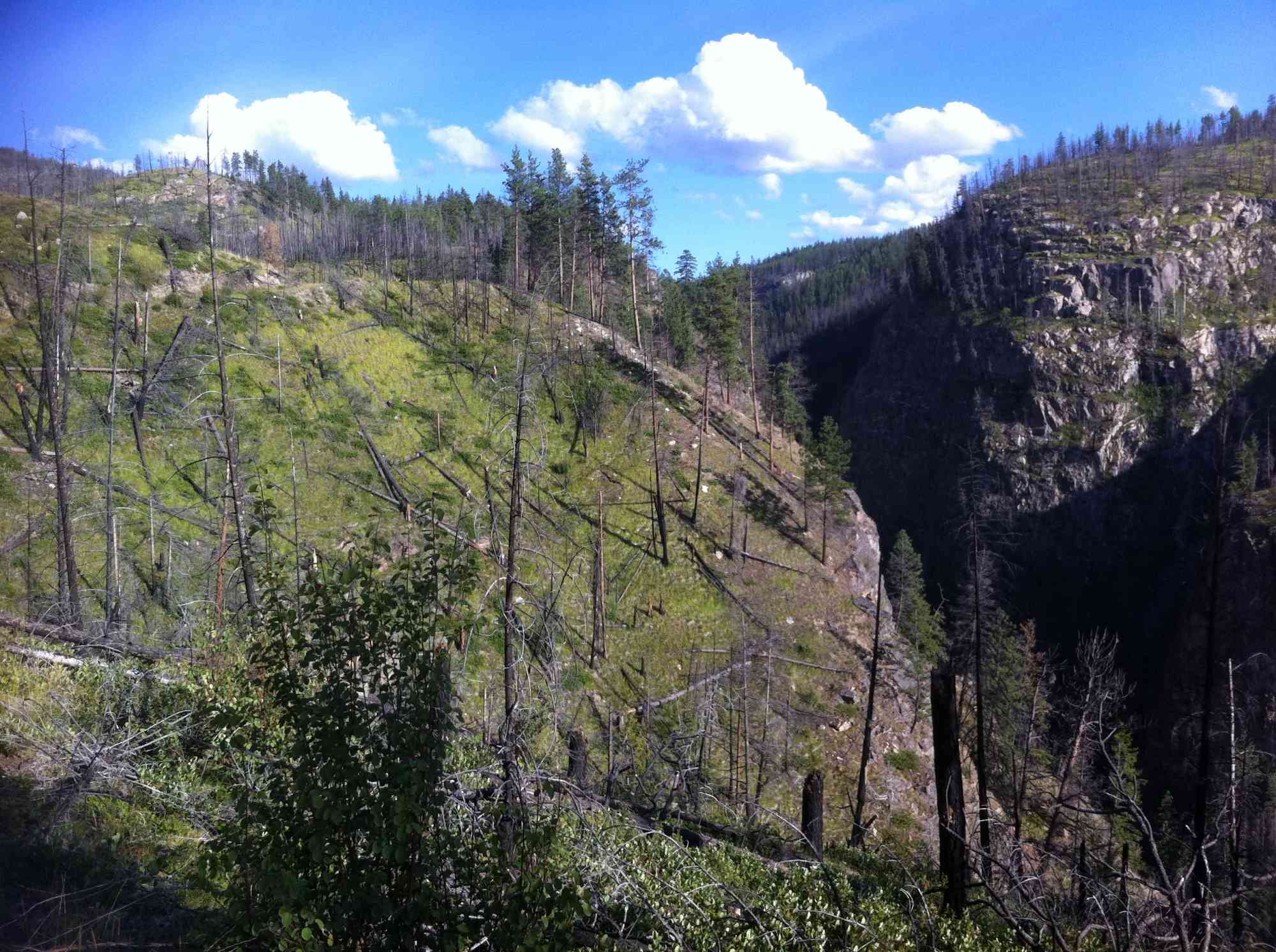
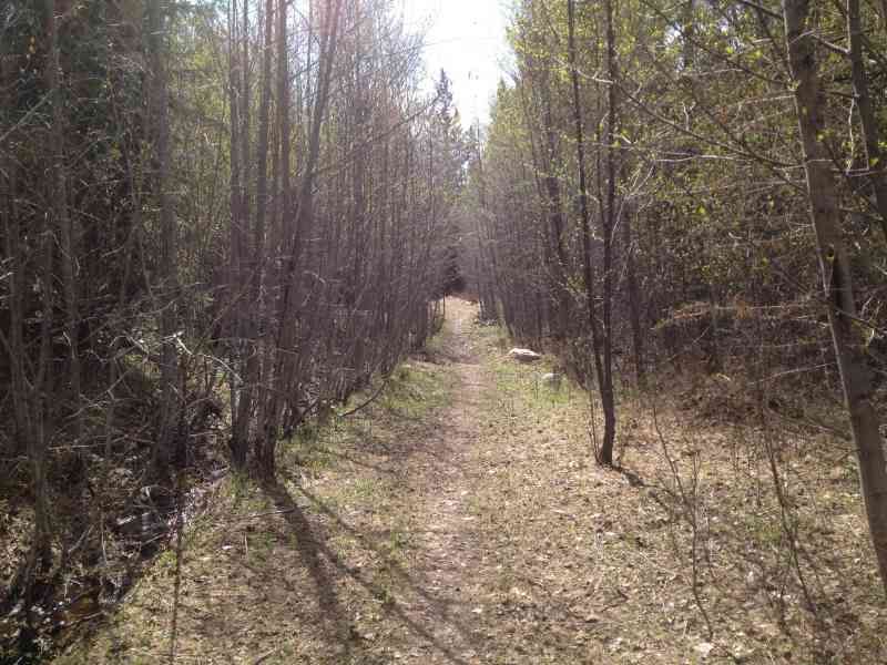
This moderate hike takes you north of the trestles following a scenic route through Myra Canyon.
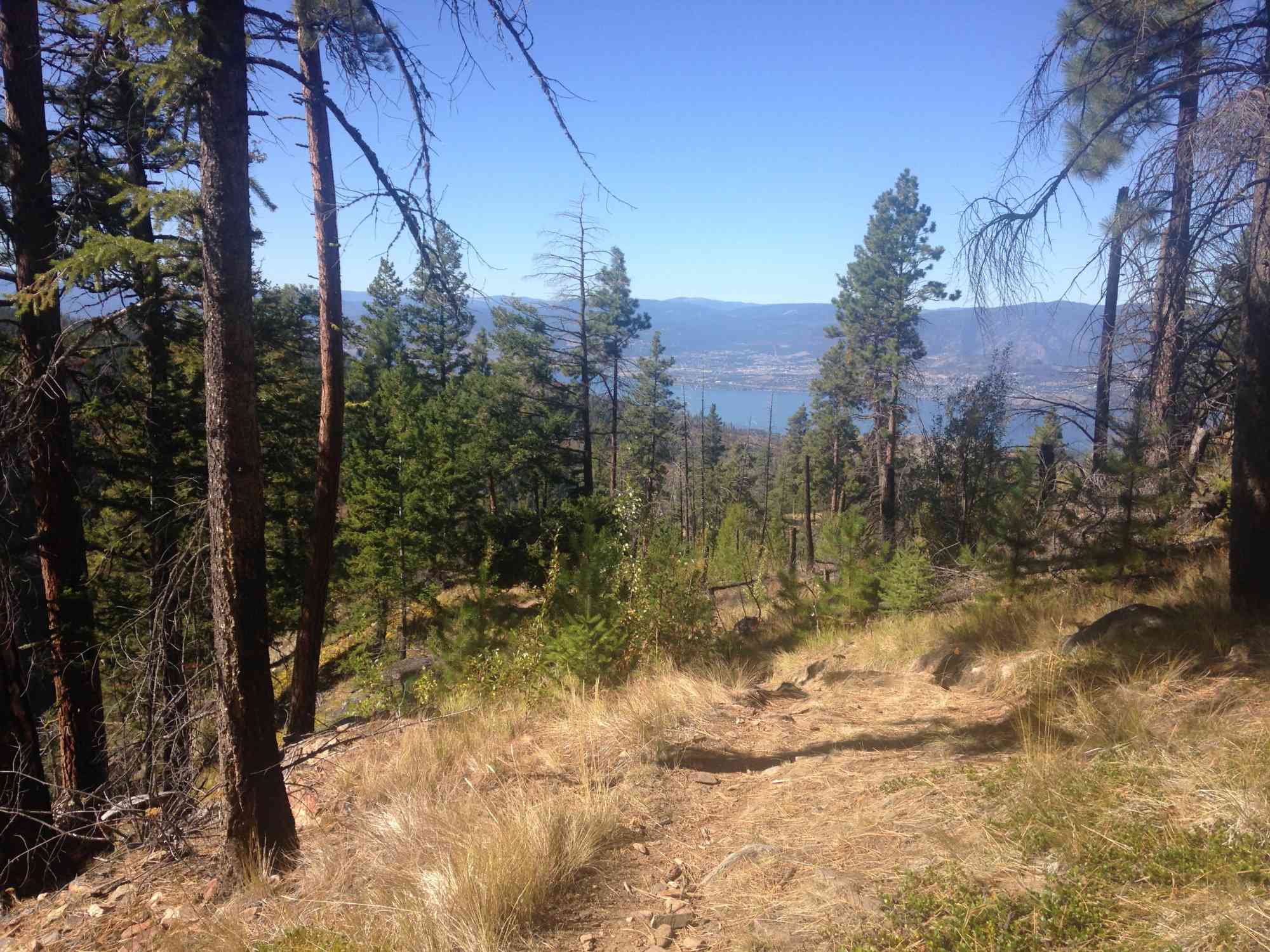
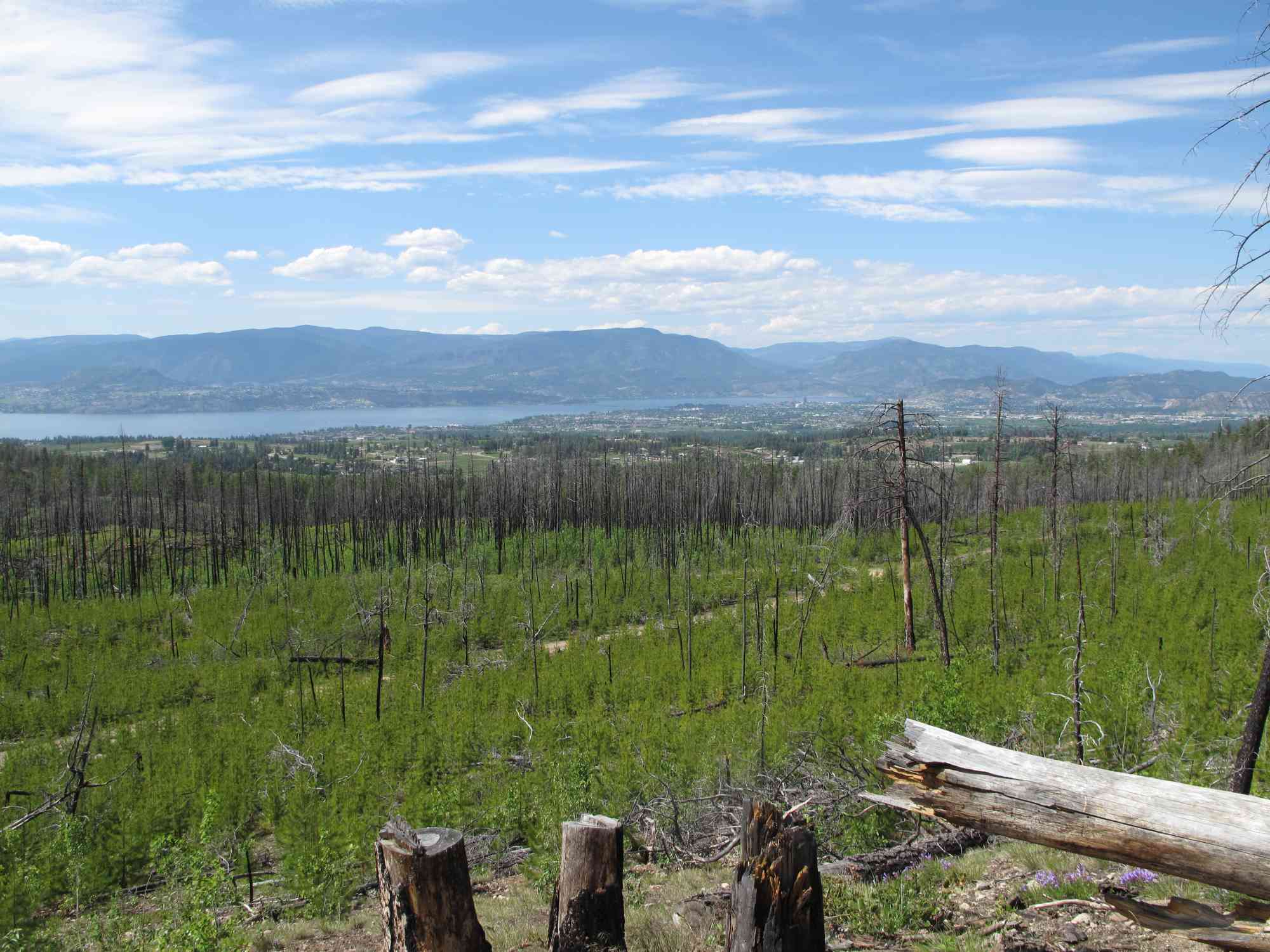
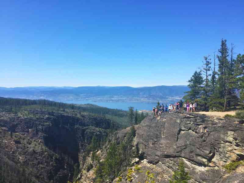
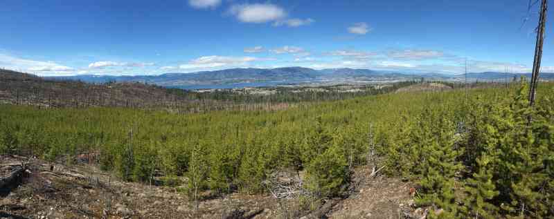
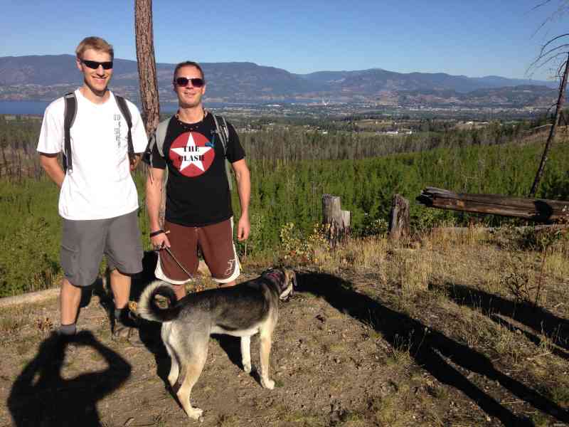
The trail takes about four to five hours and follows the perimeter of the park entailing several lookout points and views overlooking the canyon and Kelowna. The first 1.5 to 2 hours is a very steady but moderate ascent until the Bellevue Access fork. After which, the trail plateaus and begins its descent.
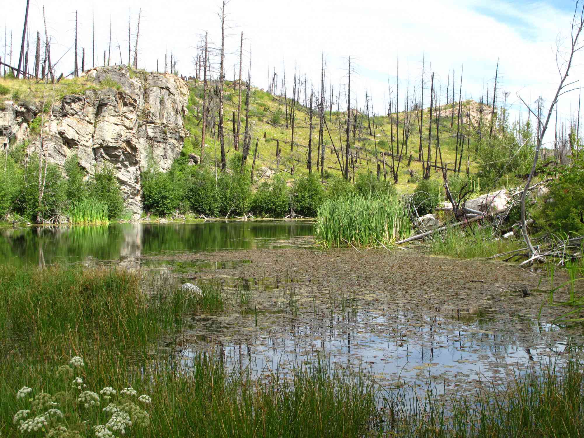
There is one creek crossing within the first hour of hiking, but then it is non-existent until roughly the 3.5 hour mark so bring a minimum of 2-3 litres on hotter days.
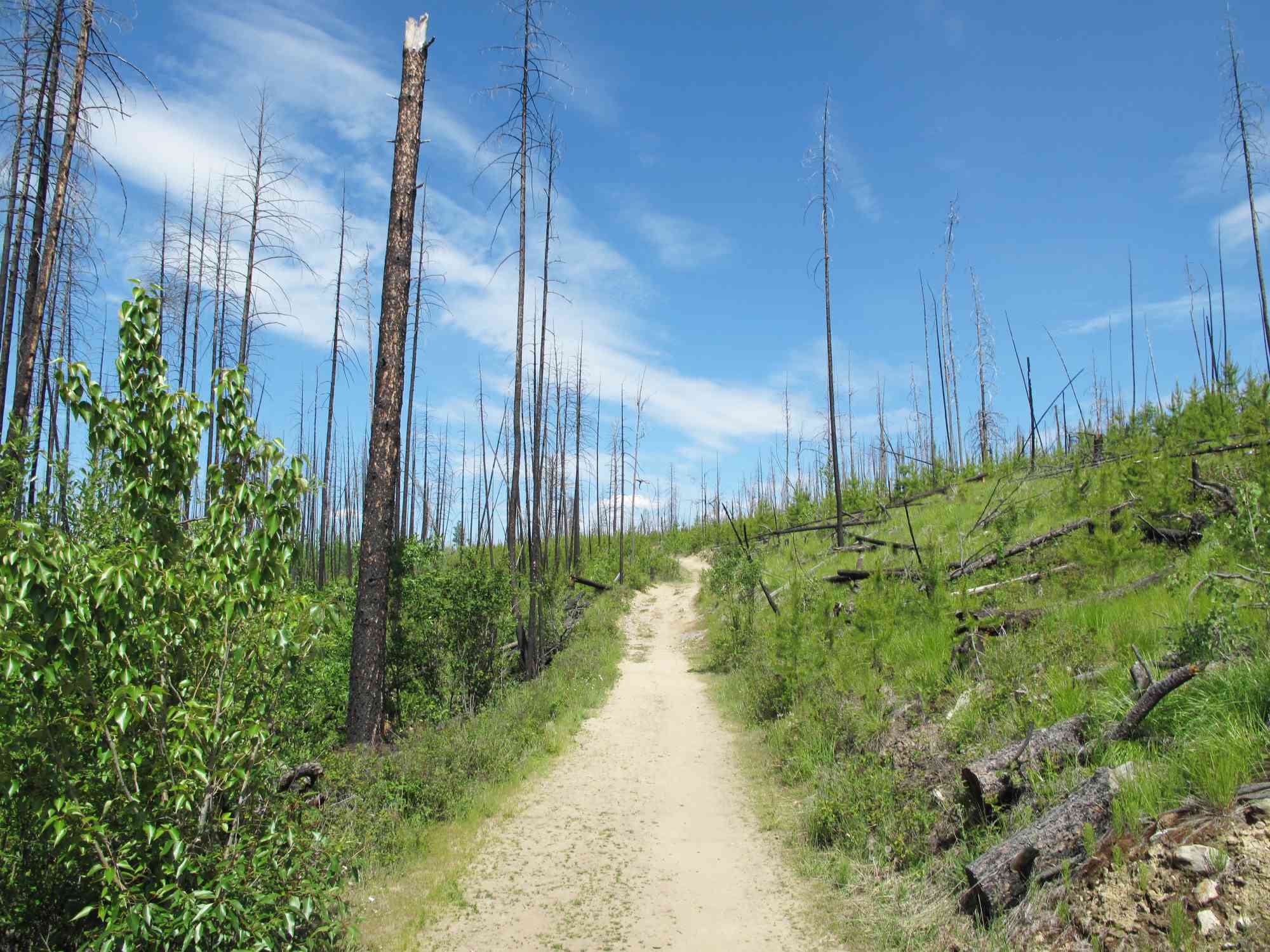
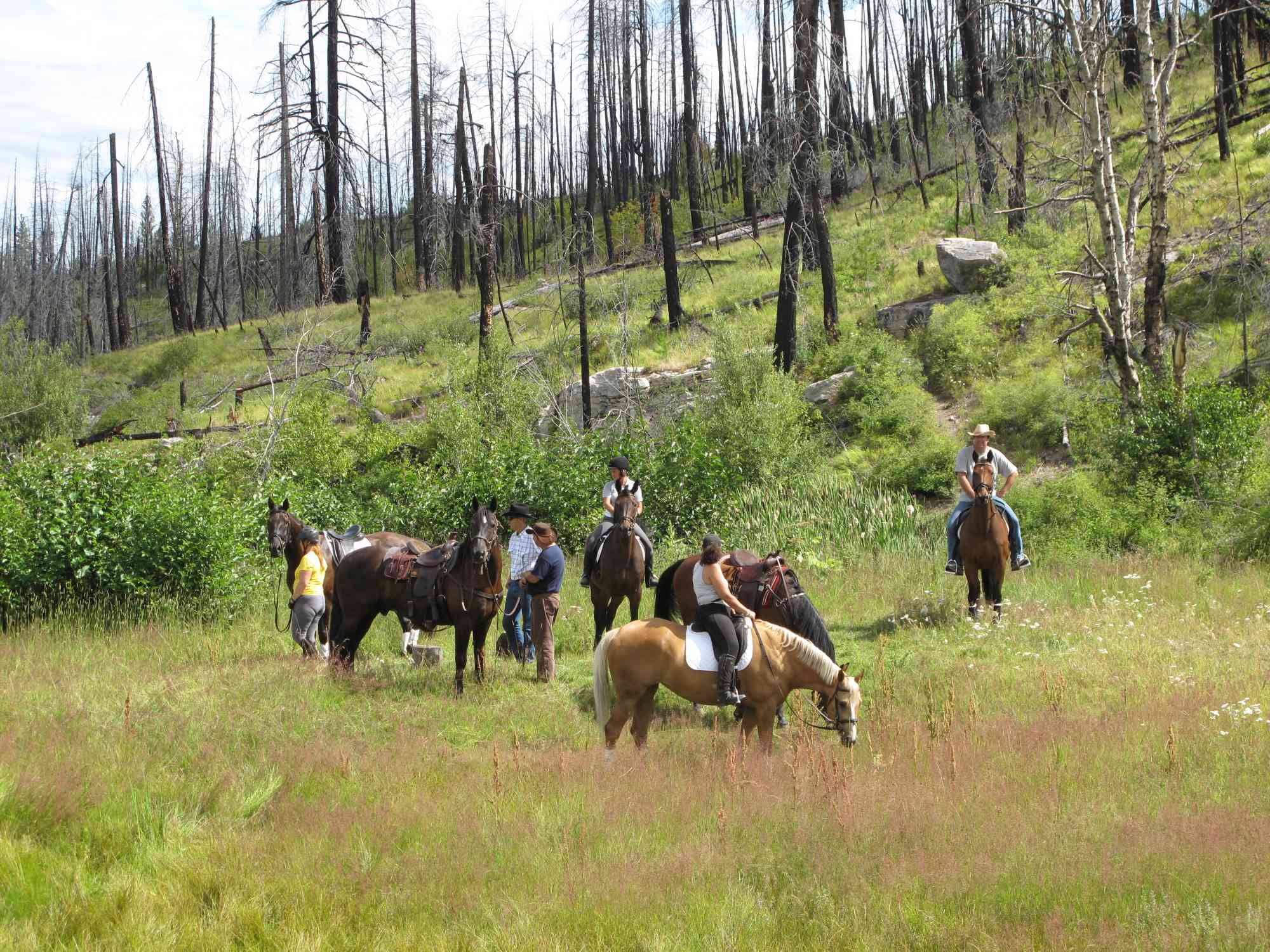
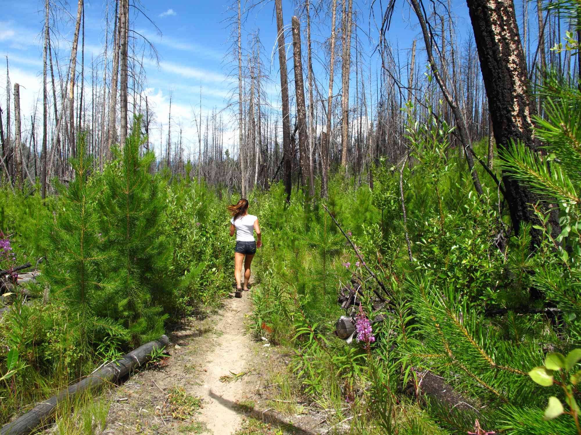
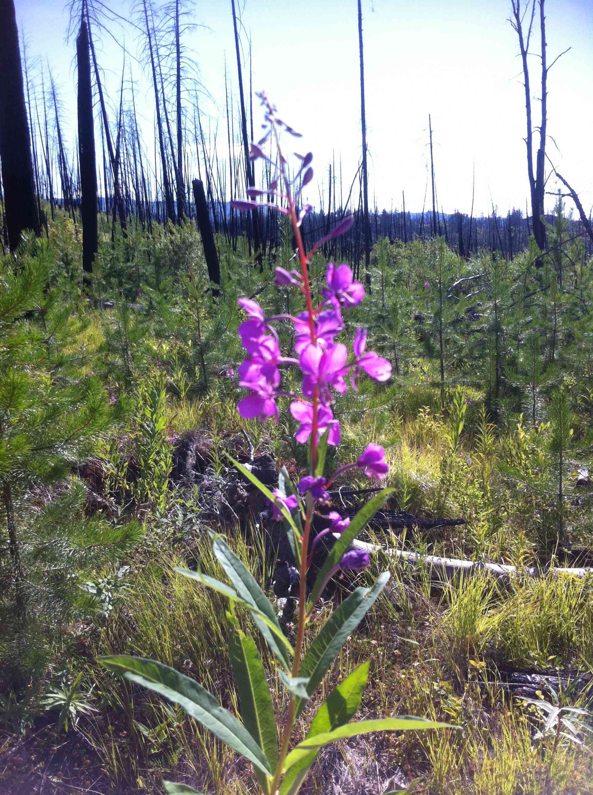
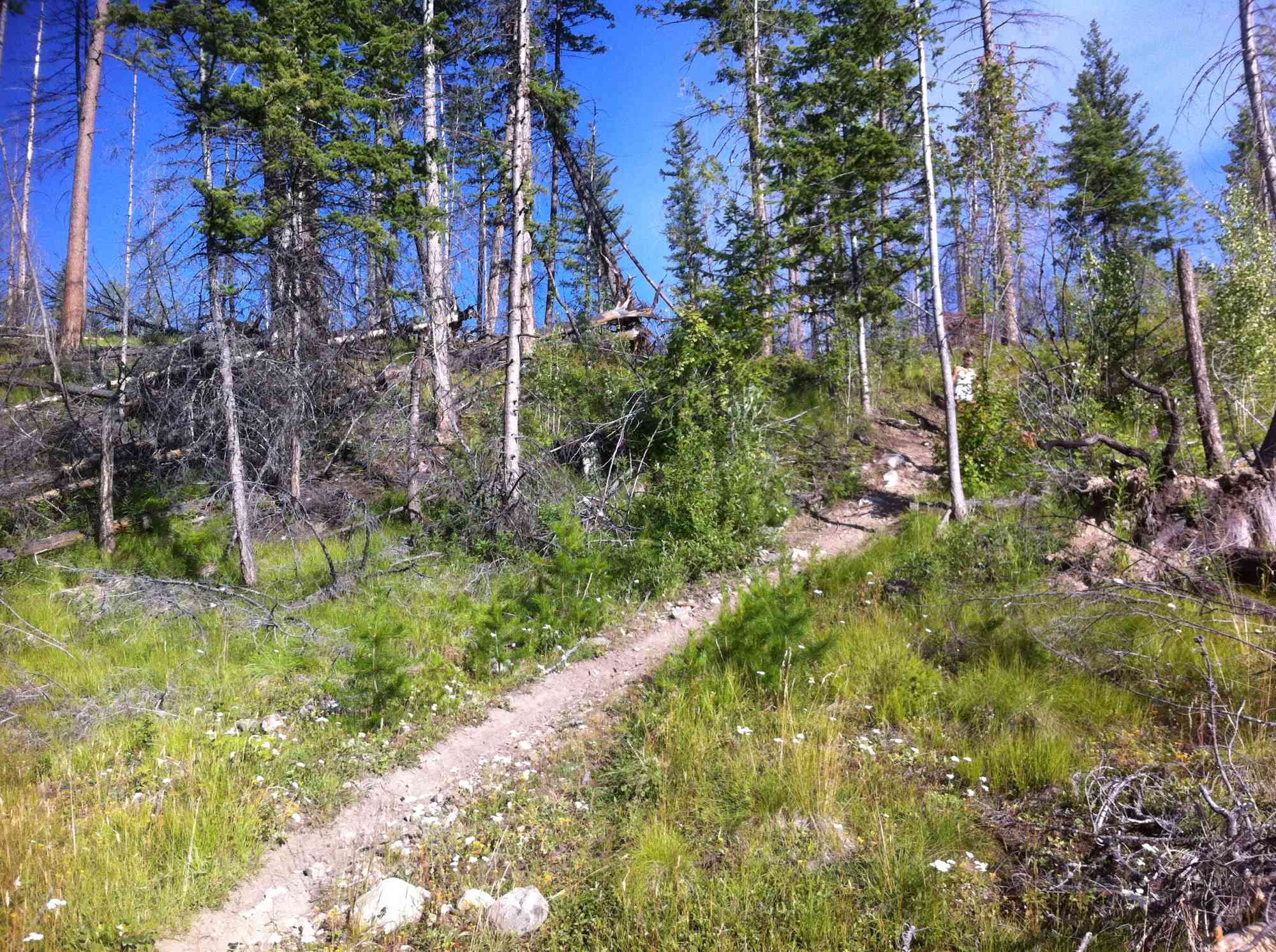
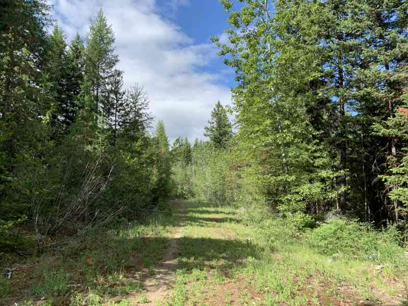
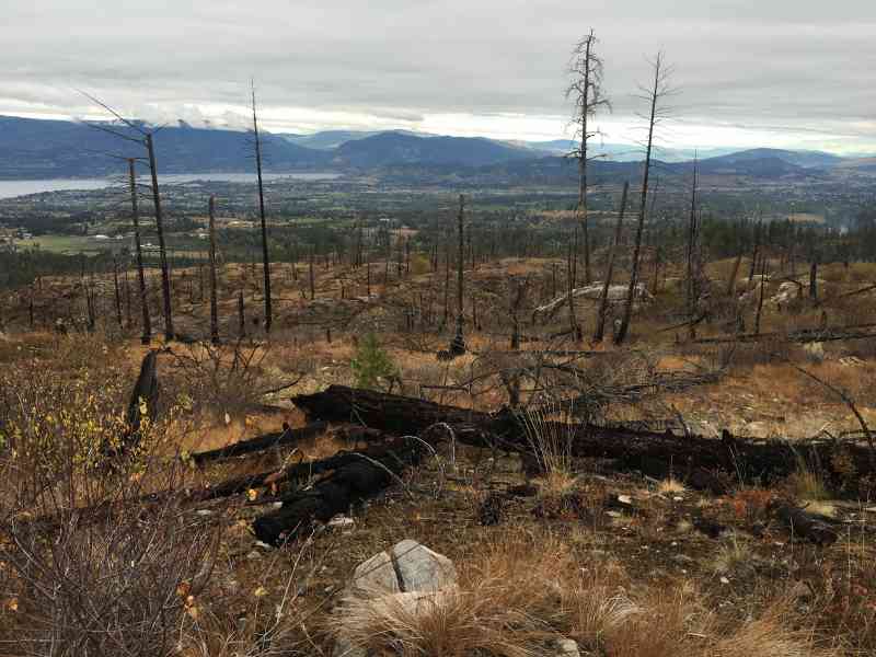
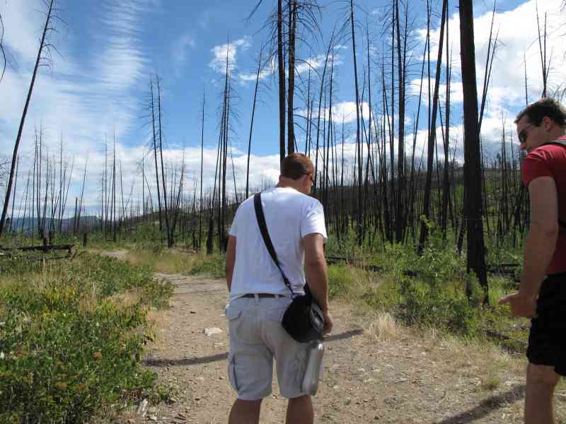
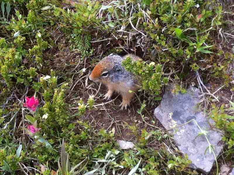
After the 2003 wildfires, there is noticeable open space, this makes things a little hotter during the summer due to the arid climate.
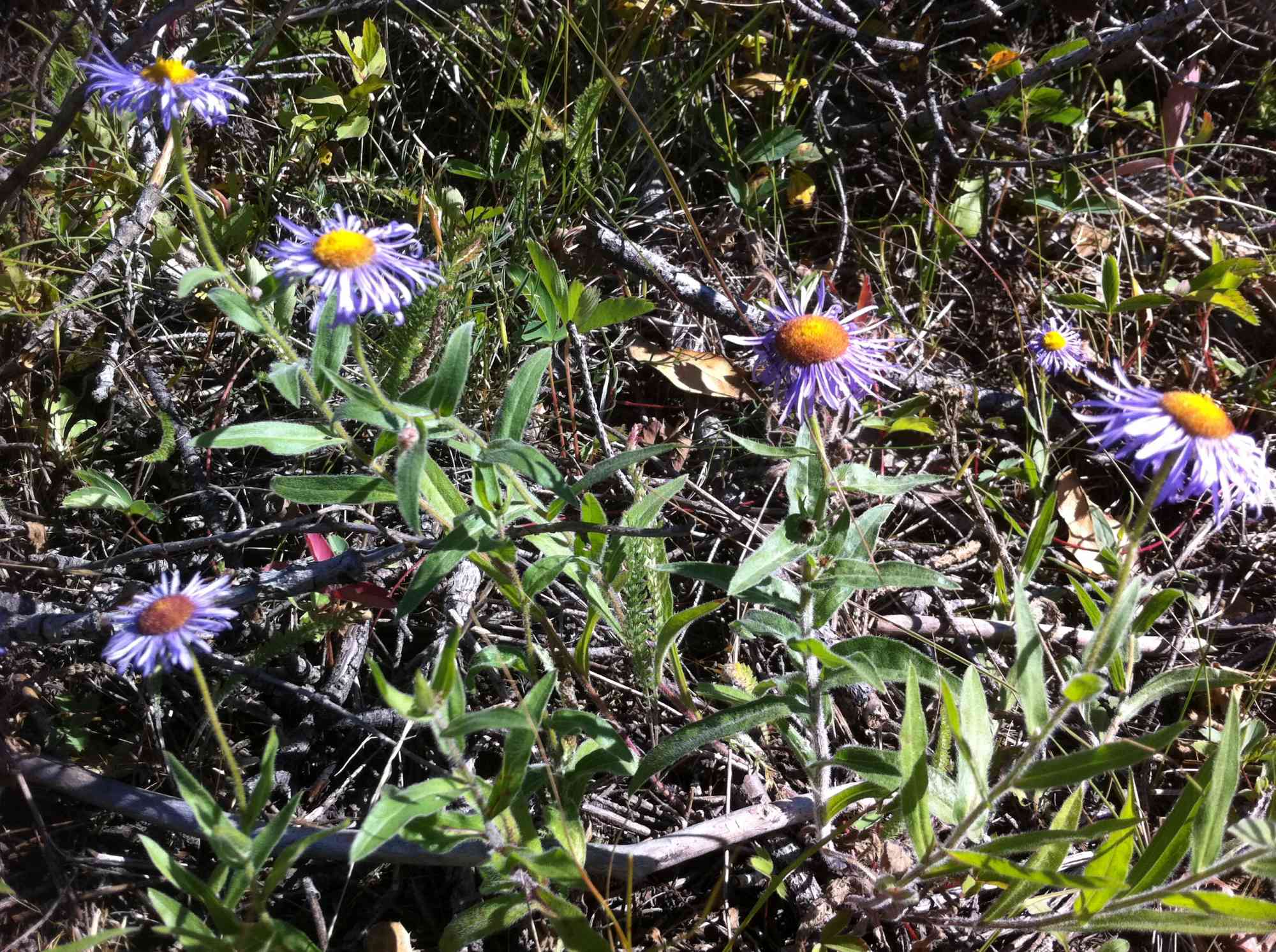
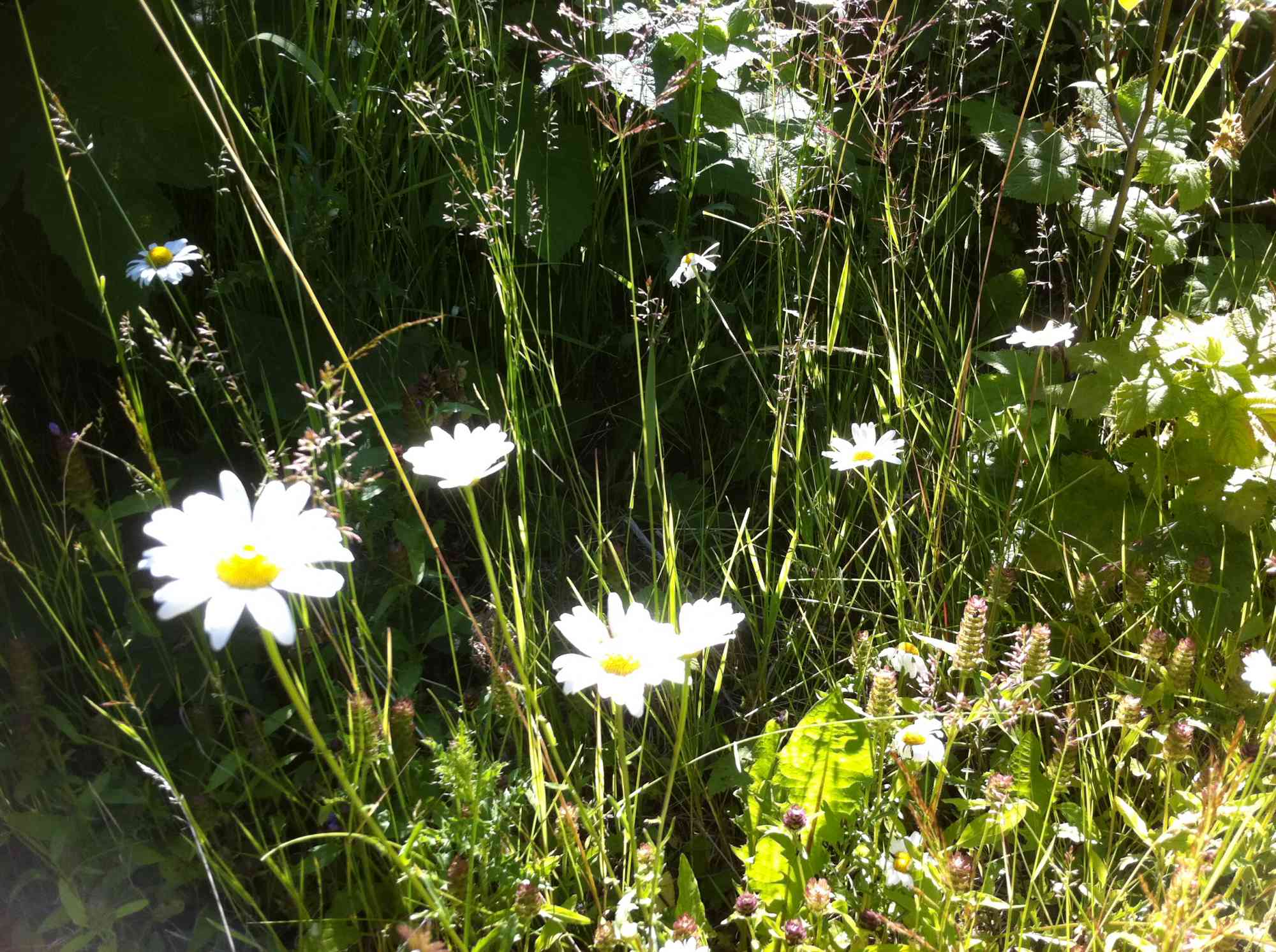
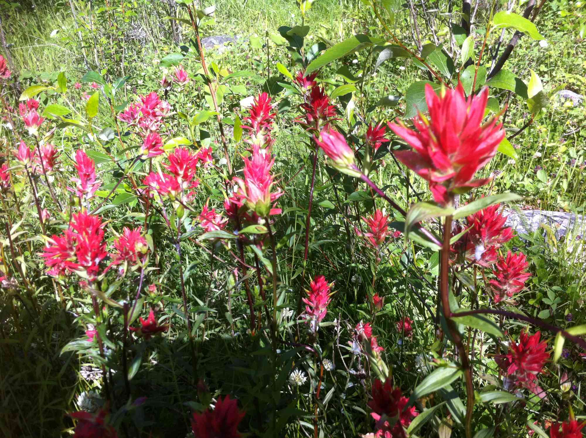
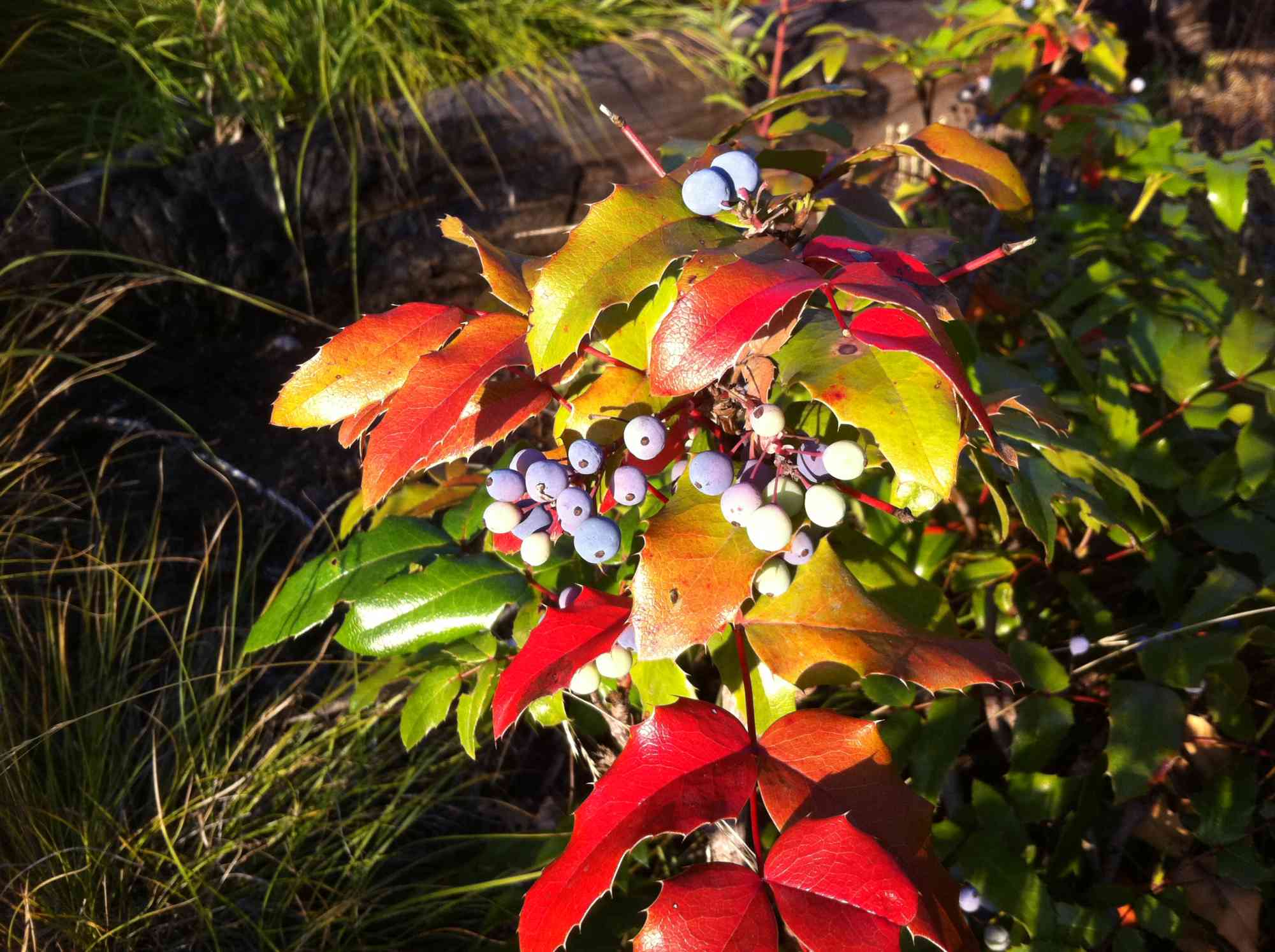
Hikers should stay on trail in order to help the regrowth of the area after the fires, bright wildflowers come into bloom during the spring and summer such as the New England, Yarrow and Fireweed. Wildlife is plentiful in the park.

Route
Kids & Pets
Features
Address
Driving Time
From Downtown Kelowna, approximate travel time by car is 21 min.
Notable GPS Co-ordinates
Detailed Directions
To Trailhead:
1. Heading west from Vernon towards downtown Kelowna on Harvey Ave...
2. Turn left on Copper Road
3. Take a right onto Benvoulin Road. It will eventually turn into Casorso Rd as the road bends.
4. At the roundabout, take the 2nd exit and stay on Casorso Rd.
5. Slight left onto Bedford Rd
6. Turn right onto Stewart Rd E and take it all the way to the end past the power station. You will see signs for the park.
7. Continue up the dirt road past the metal gate into the official parking lot.
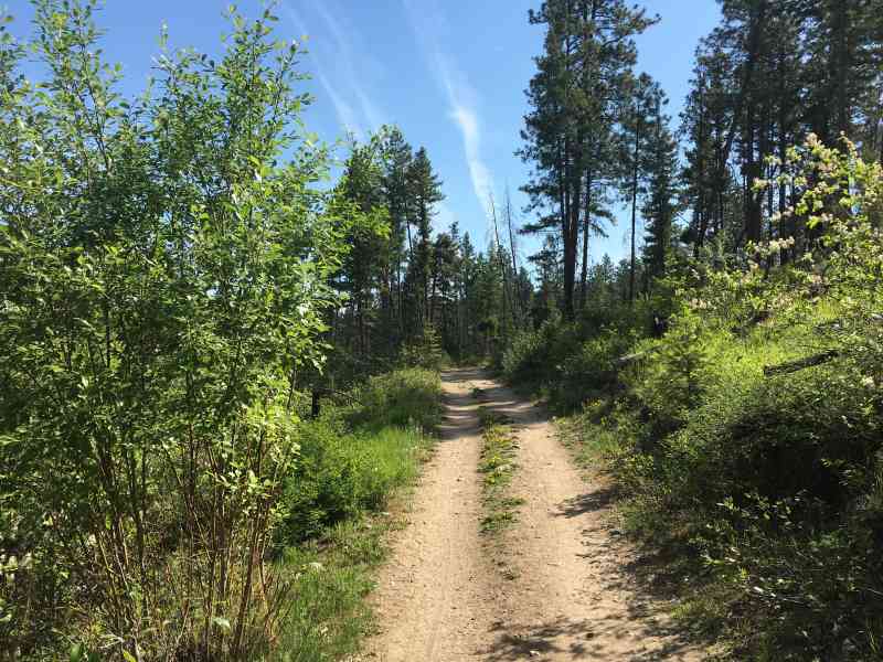
On Trail:
1. Park in the Lower Myra/Bellevue parking lot and begin up Lost Lake trail.
2. At Teddy Bear Junction, take a left to continue up Lost Lake Trail.
3. At around 9.2km take a right onto Crawford Trail.
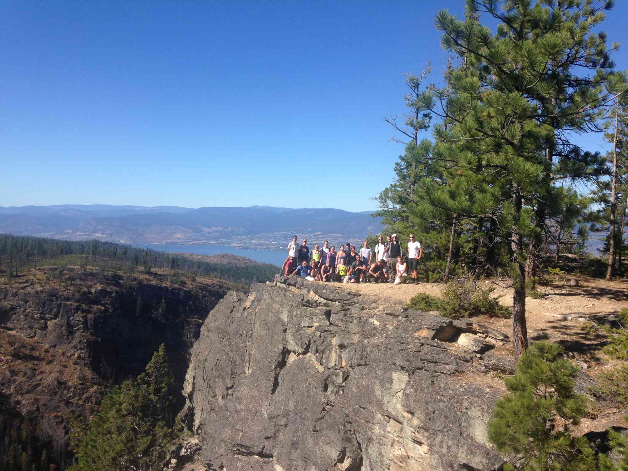
4. At 10.59km you will arrive at the bottom of "Crawford Lookout", go up the hill for the view and a bench, and come back down and turn right.
5. At 11km there is a great lookout spot (around 2.5 hours in).
6. At 12.72km keep left onto the wider, more used, trail.
7. At 13.93km you have reached "Sandy Knoll" lookout. You can take a right or go straight to continue along the trail. Both will connect with Crawford again.
8. At 14.42km you will come to a VERY IMPORTANT trail junction. It is a small sign that says "NOTICE" at the top and notes new Earring and Race Classic trail connections. Take this immediate right turn. Do not continue straight or you will wind up in the excavation gravel pits.
9. Stay on Earring at all the trail junctions that follow. There are quite a few labelled intersections.
10. At 17.53km there is a sign post on your right that says "Rocky Screech" trail. Turn left down this trail instead, and follow it to the bottom of the hill at Cattle Guard Junction.
11. Keep right on Bench Road and head out to the parking lot.
Google Directions
Duration Calculator
The metrics for this trail have been converted to round-trip formation for distance and elevation gain/descent if necessary.
We have a downloadable GPS map for this trail!
Last Updated on Sunday, January 26, 2025
Need help using it? See our FAQ.
Leave a comment
You must Login to post a comment!